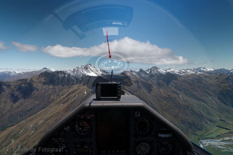
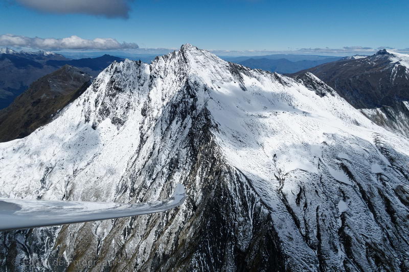
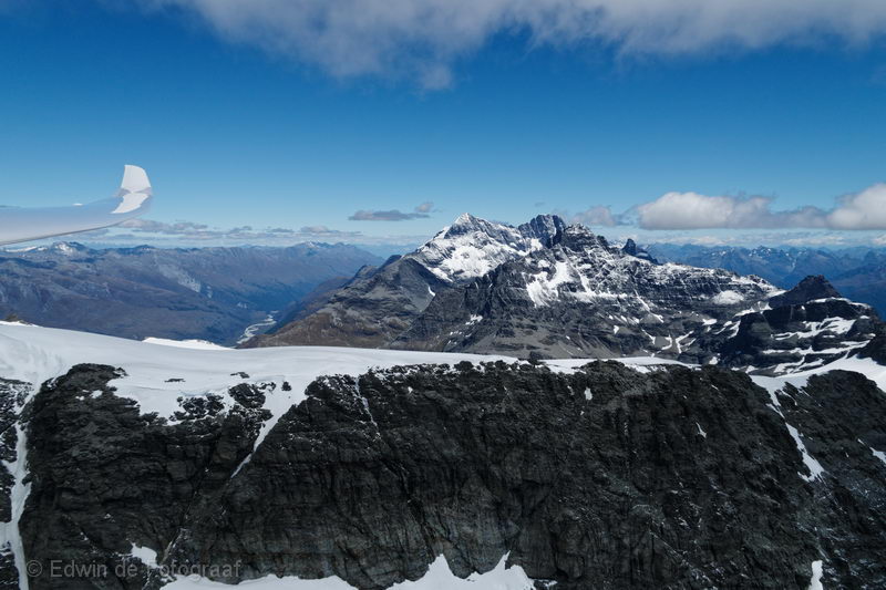
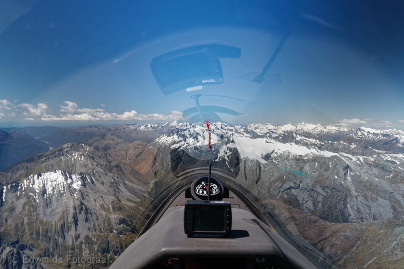
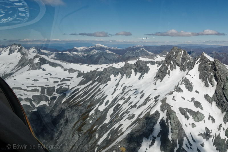
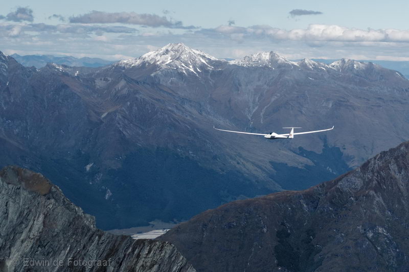
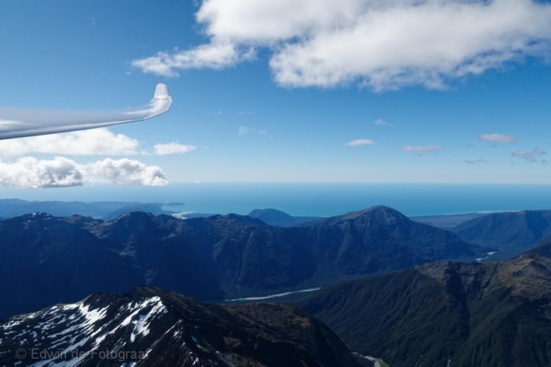
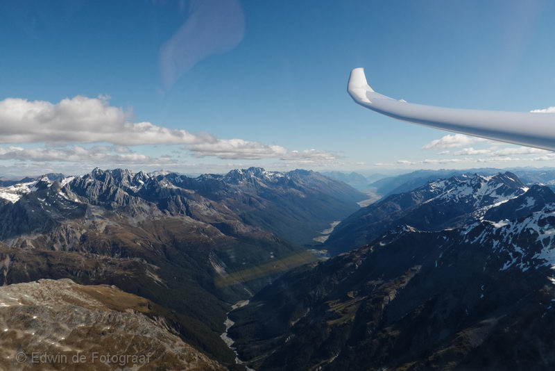
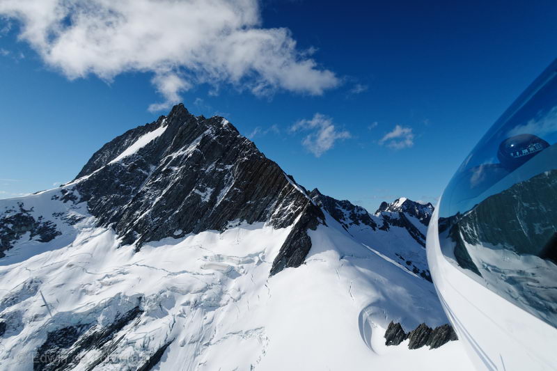
Today I did a lead and follow: in my Ventus I followed Justin Wills who was flying his Discus. The goal was to get all the way to Milford Sound! An ambitious plan, certainly for someone like me who has never been beyond the Shotover Saddle. In the photo I’m approaching Fog Peak from the north
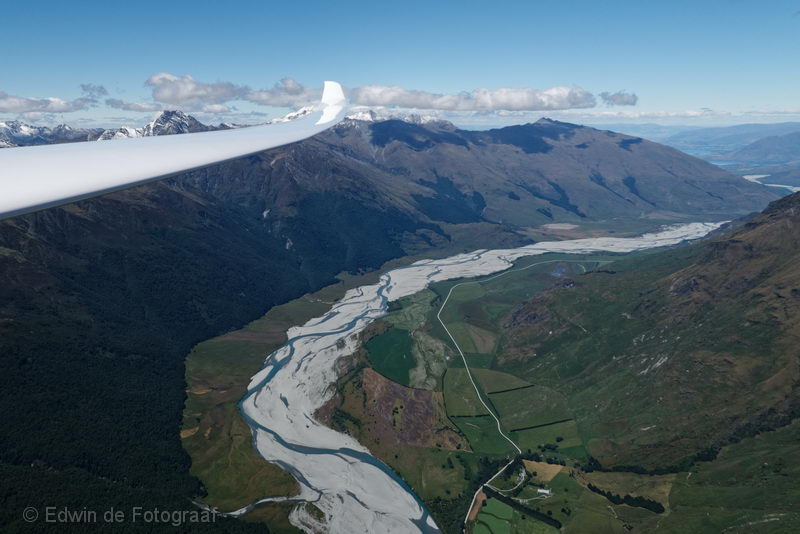
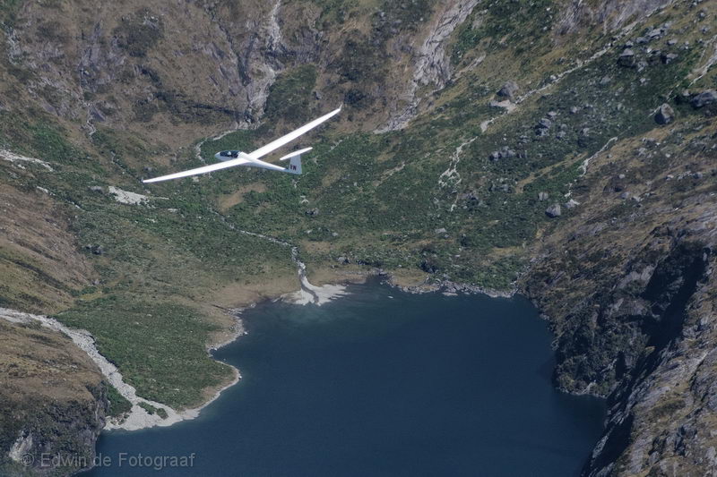
To my left Matukituki river, where I landed out 3 years ago with Jono in PB, not this time though!
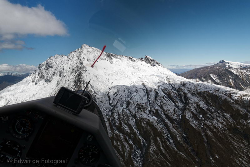
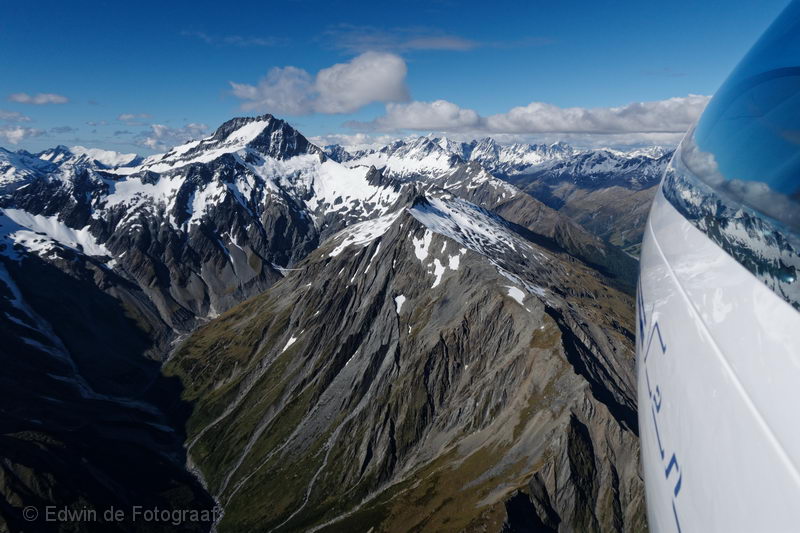
Fog Peak
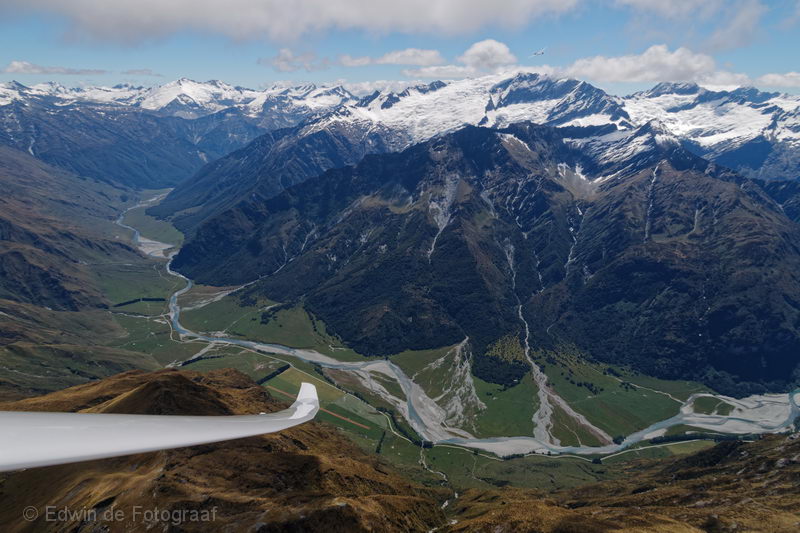
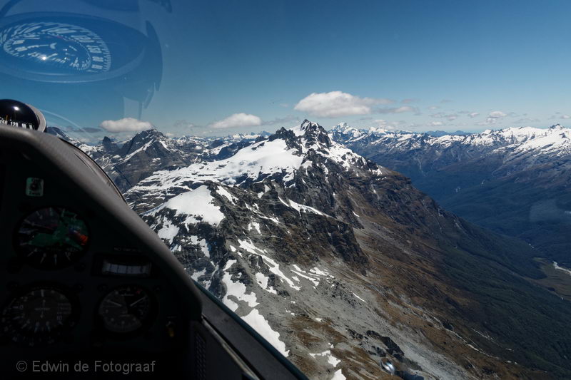
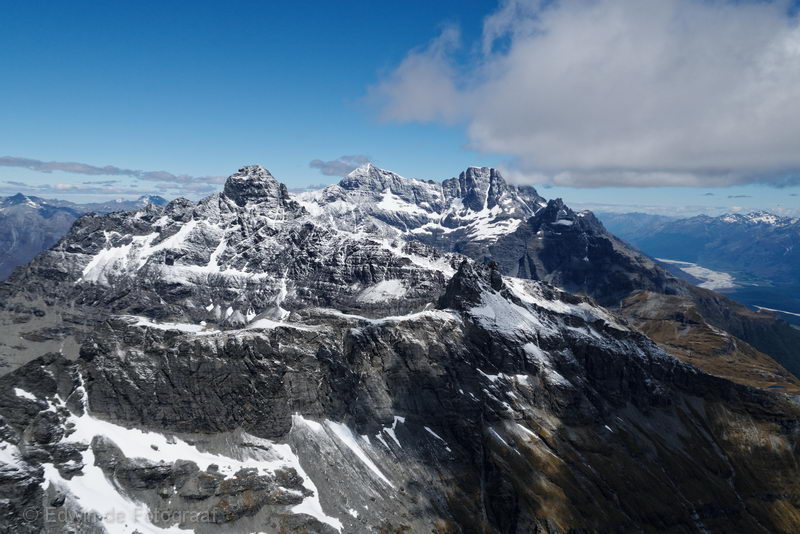
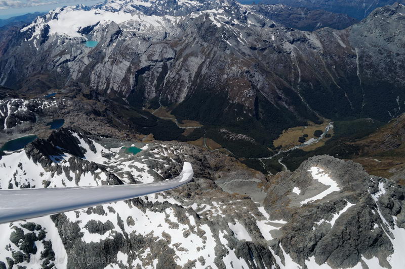
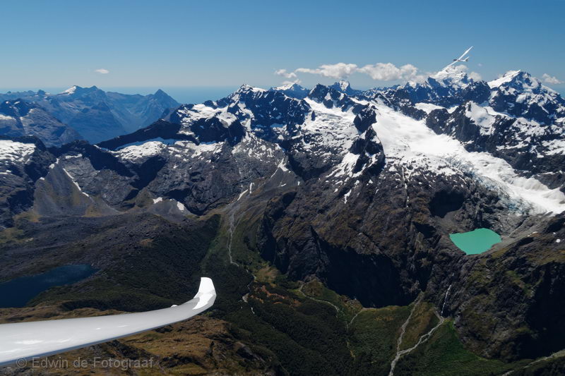
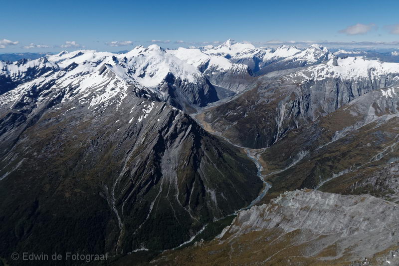
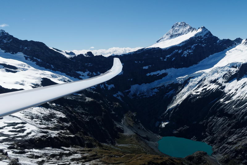
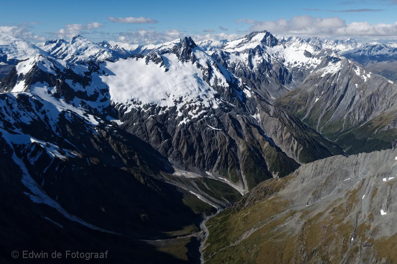
The Matukituki River West Branch and the Rob Roy Glacier with Rob Roy Peak
Fog Peak again, I spent some time here to get a much needed 1000ft climb
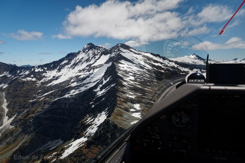
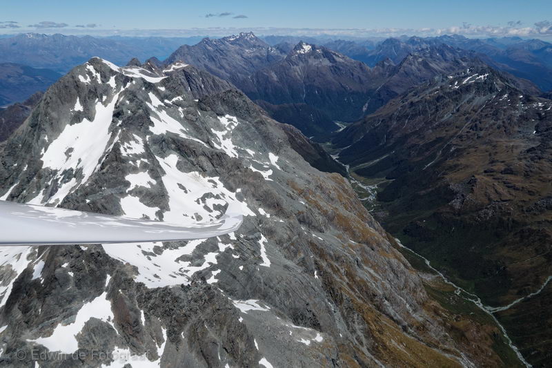
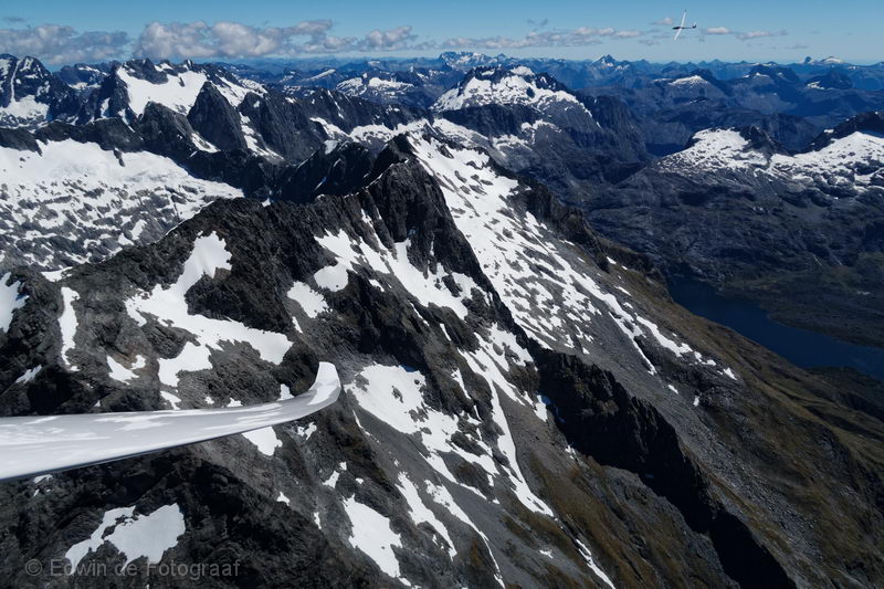
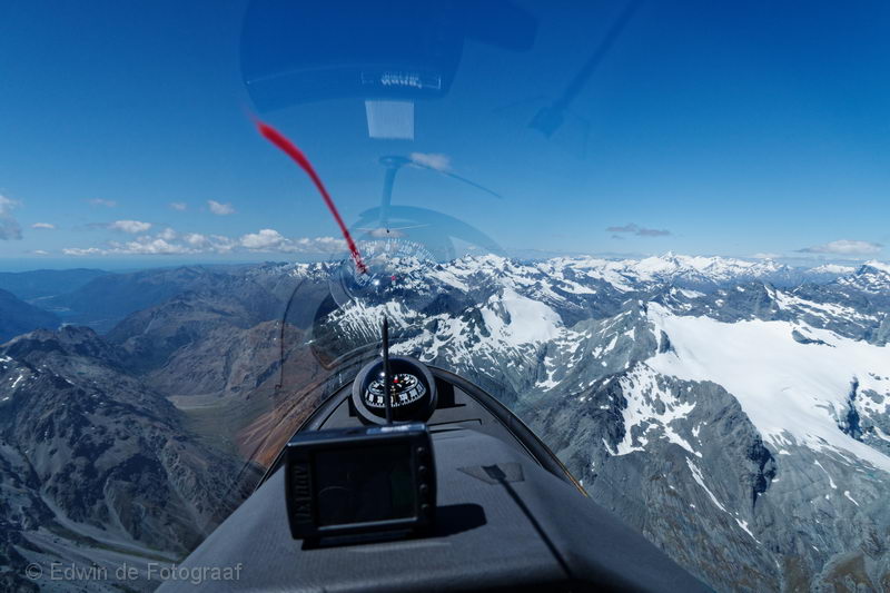
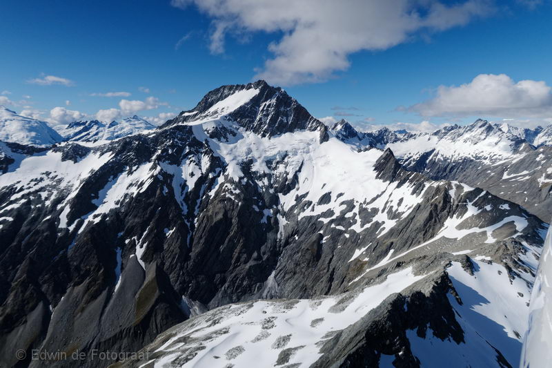
Just past the Shotover Saddle, approaching Mt Tyndall
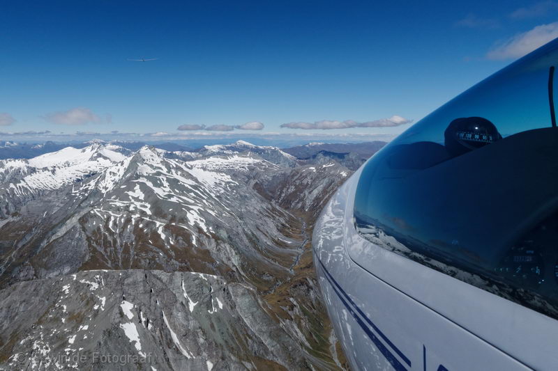
Flying along the Forbes Mountains, Moira Peak straight ahead
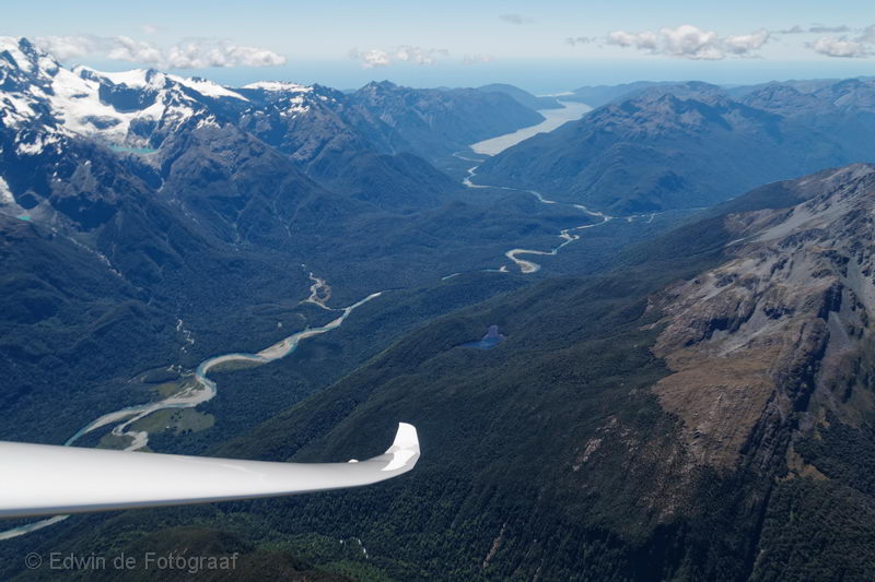
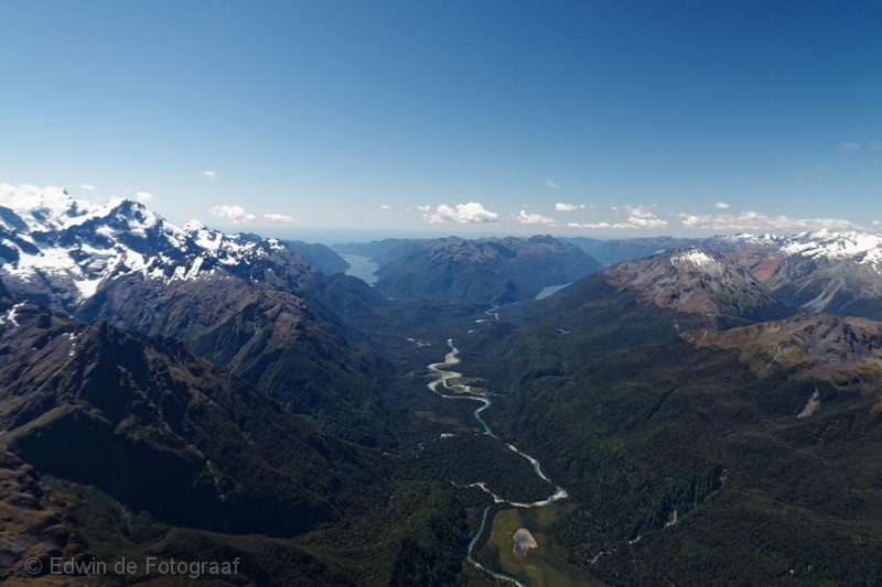
To my left a little lake which is the origin of the Hunter Creek North Branch and in the valley in the distance the Rees River, the very river I walked along when I did the Rees-Dart track
Mt Earnslaw coming up on the left
What a spectacular view!
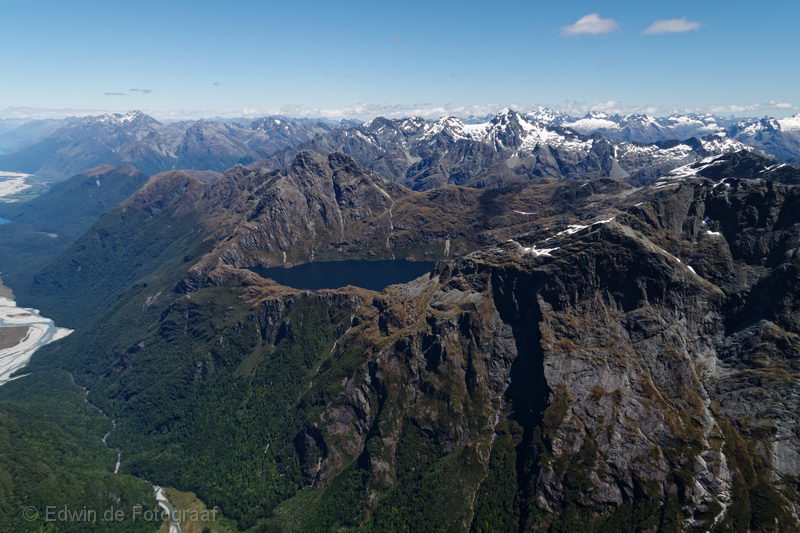
Crossing Beans Burn, with a great view of Lake Unknown (no, seriously, that’s its name) and the Dart River on the far left
Looking south there are the Humboldt Mountains on the left with its peak Somnus and in the distance just a glimpse of Lake Wakatipu, in the valley on the right you see the Route Burn North Branch
Very same spot as the previous photo but now looking towards the north-east, there’s Lake Nerine on the far left, Amphion Peak just to the right of the lake across the valley and Theatre Flat in the valley on the right
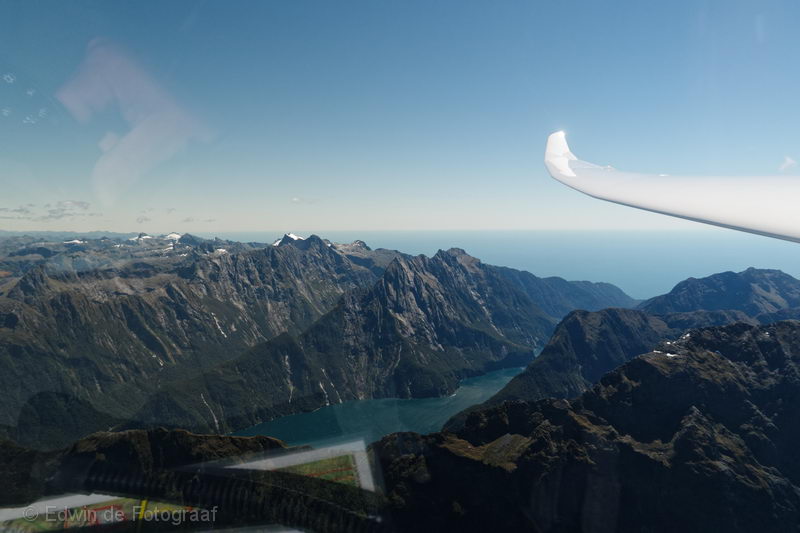
Just north of Lake Hyslop looking north-west where the Hollyford River ends in Lake McKerrow with Martins Bay and the ocean just beyond it
Mt Madeline, still following Justin (can you spot him?) who luckily knows his way around these mountains, because I don’t! Lake McKerrow on the far right now
Mt Madeline again, just a bit higher than before
Milford Sound! We made it!
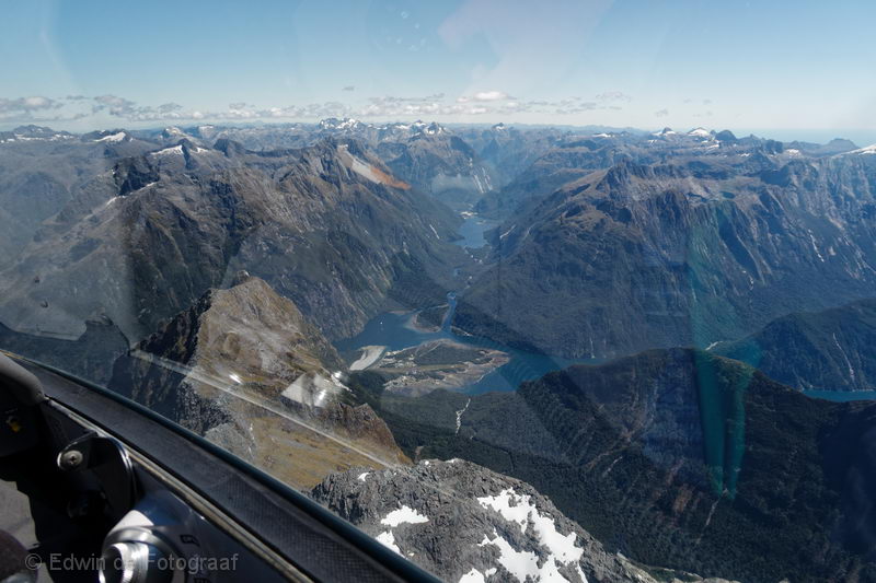
Milford Sound village with the clearly visible airport, Lake Ada in the distance
Between Mt Underwood and Apirana Peak, looking north-east towards the Taoka Icefall
Flying to the south-east just north of Lake Adelaide left in the photo, RW to my right
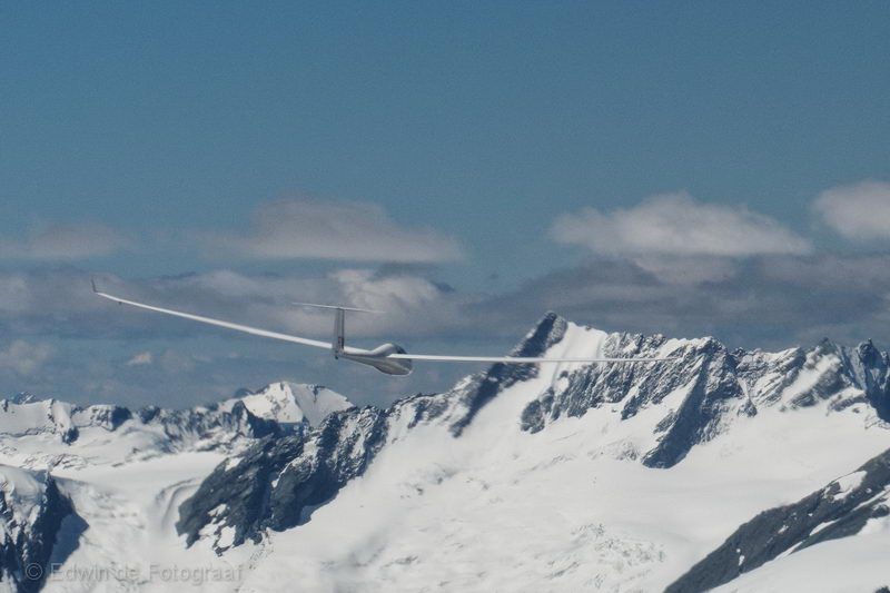
Justin in RW just north of Lake Adelaide
Circling at Mt Gifford, RW in the top-right corner
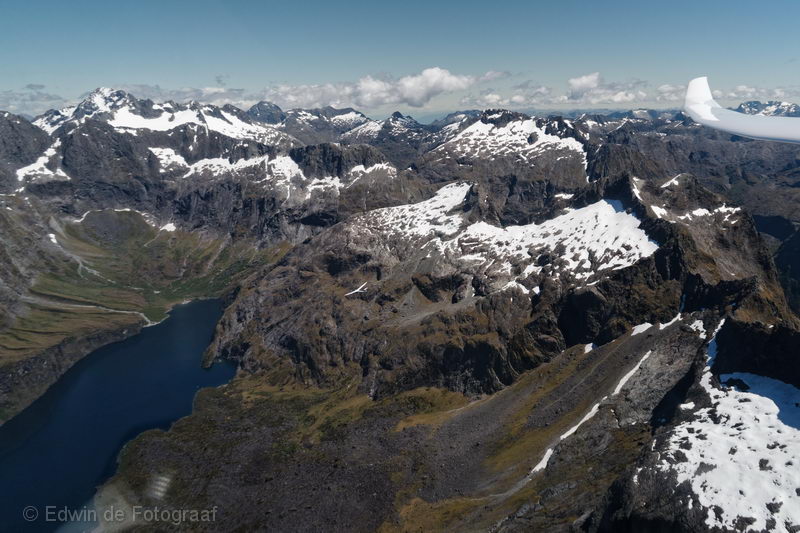
The Korako Glacier with its highest point Mt Tuhawaiki, Lake Adelaide on the far left and Justin in RW flying high above the bright green lake on the right
From here we really are on our way back again, heading north-east and looking north here with Lake McKerrow in the distance, a glimpse of Lake Alabaster to the right of it and the Hollyford River in the middle that connects the two lakes
Overhead Hidden Falls Creek, Prospector Peak on the left, Bryneira Range straight ahead
Cruising further along the Bryneira Range, Niobe peak on the right
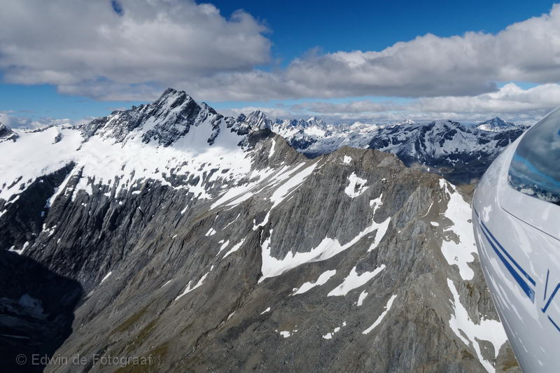
Back on the Forbes Mountains towards Mt Tyndall
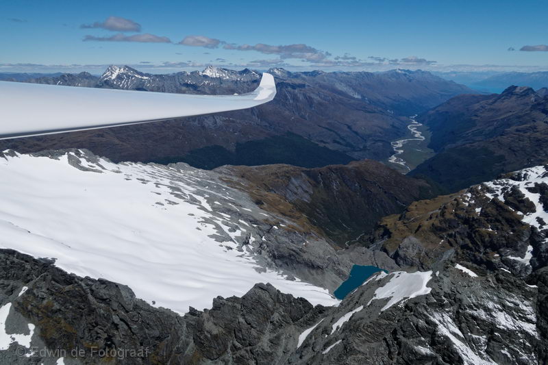
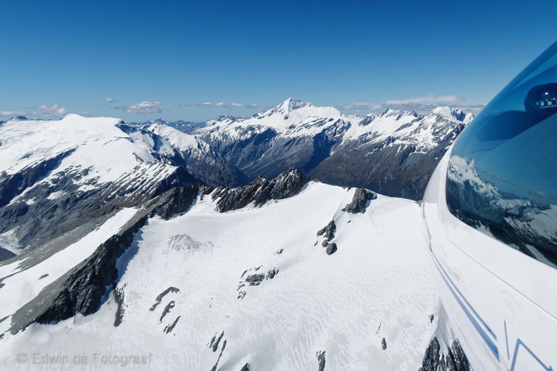
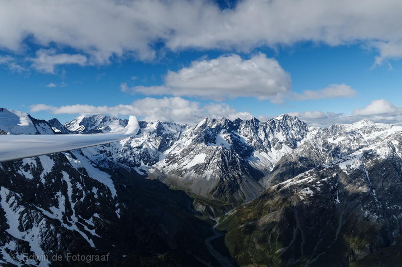
The view a little more towards the left with the Dart Glacier in the middle and Mt Aspiring (the highest peak) in the distance
Almost at Mt Tyndall, RW to my right (and leading of course)
Justin guiding us past Mt Ansted
Towards Mt Aspiring
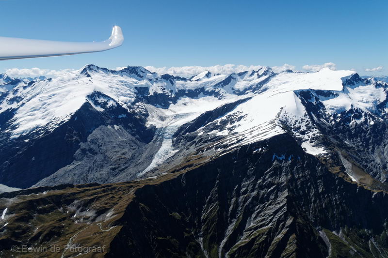
To the left of us is the Dart Glacier again
RW guiding me to more familiar terrain again
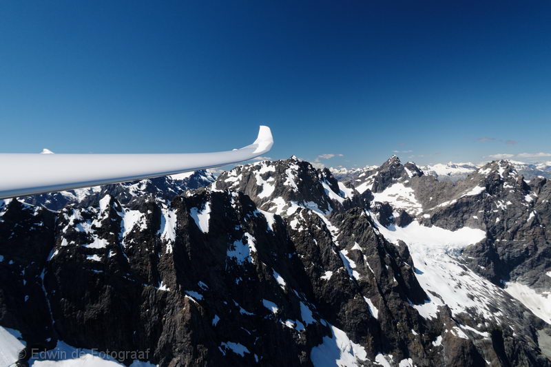
Mt Aspiring, Kitchener Glacier and the lake that feeds the Turnbull Thomson Falls that become the Kitchener River
Upper Volta Glacier with the Glacier Dome
Mt Pollux
Drake Range, Jackson Bay in the distance
RW guiding us over the Southern Alps
Near the Okuru River
Bealey Range
Just past Mt Wilson, looking right toward the Hunter River and Lake Hawea
Overhead the South Elcho Stream, soon to be joined by the North Elcho Stream, Mt Jackson in the middle, the flatter mountain to the right of it is Mt Ward
Approaching Mt Ward
Getting closer
And closer
Mt Williams
Mt Darby in the middle, below it the Dobson River that feeds into Lake Ohau
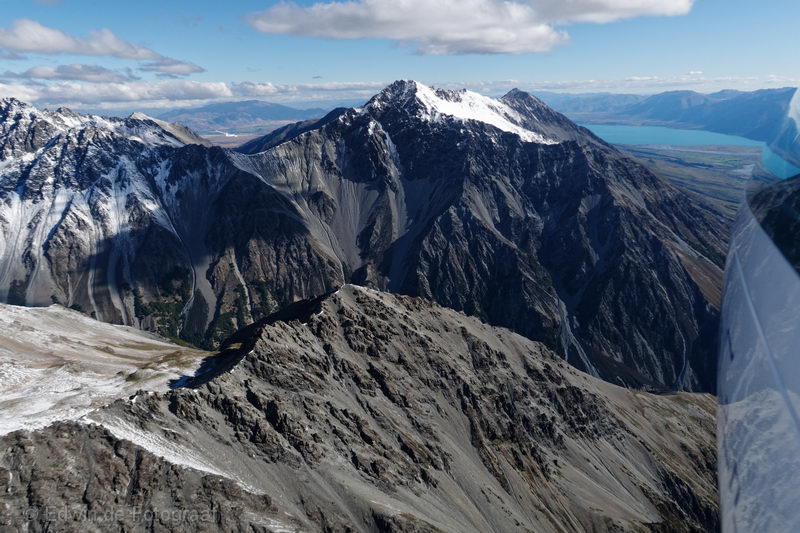
Backbone Peak on the Ben Ohau Range, Lake Ohau in the distance on the right, Omarama at 10 o’clock, almost home after a fan-tas-tic flight, thanks Justin!
And a short video
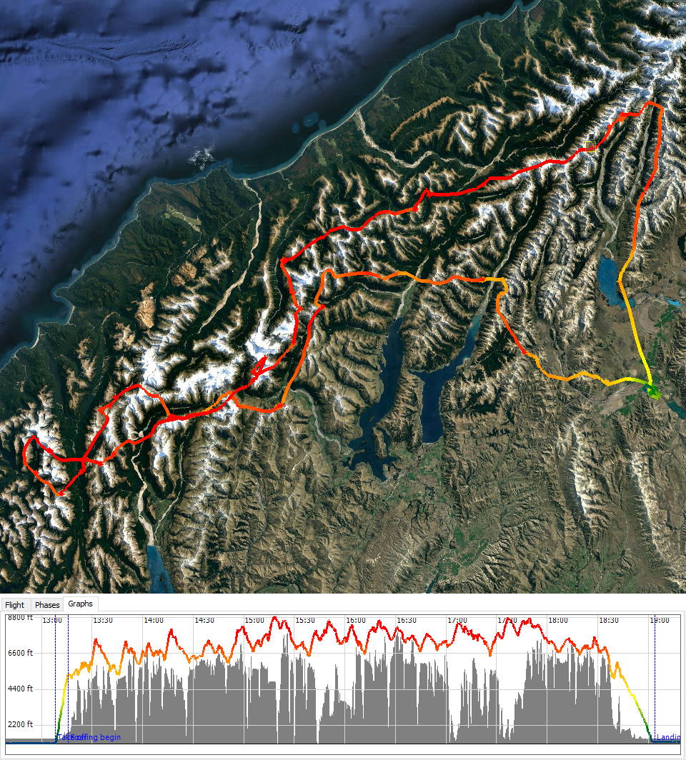
Track log of the entire flight