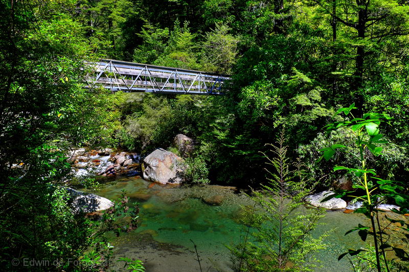
For years I’ve been wanting to walk the Mt Somers loop track but I just never got around to it, up to yesterday that is when I started the track. I walked the track anti-clockwise. This is the bridge over the stream coming from the Sharplin Falls
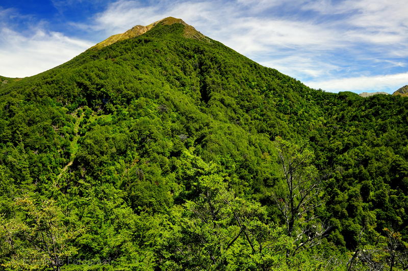
The first part of the track was steep and through forest, here I am finally out of the forest, at Duke Knob, looking towards Staveley Hill
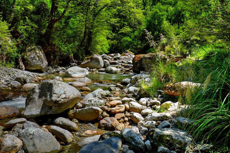
Soon I’m back in the forest again, following the Bowyers Stream upstream

It’s a lovely stretch of forest though and the stream is really clear
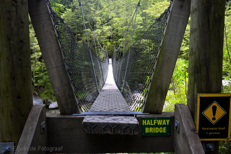
There’s the odd bridge to cross
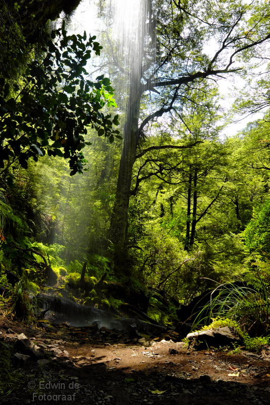
A waterfall
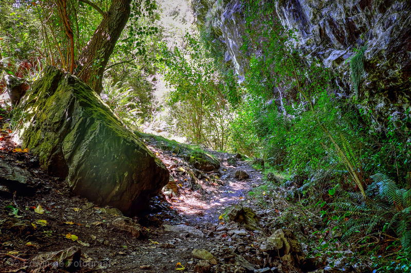
At least walking in the forest keeps me cool a bit, it’s a very warm day
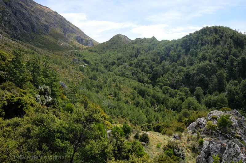
The second time I finally get out of the forest, Pinnacles Hut is in view a little higher
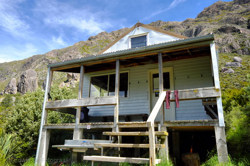
At Pinnacles Hut
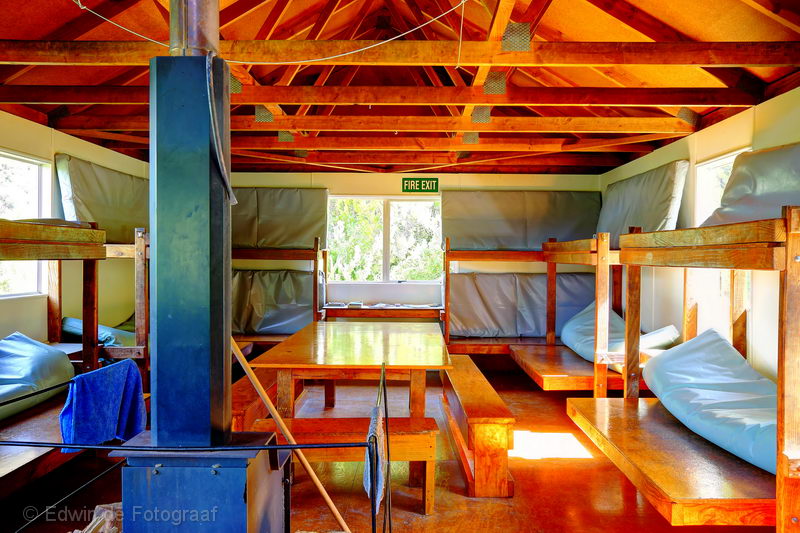
Inside Pinnacles Hut
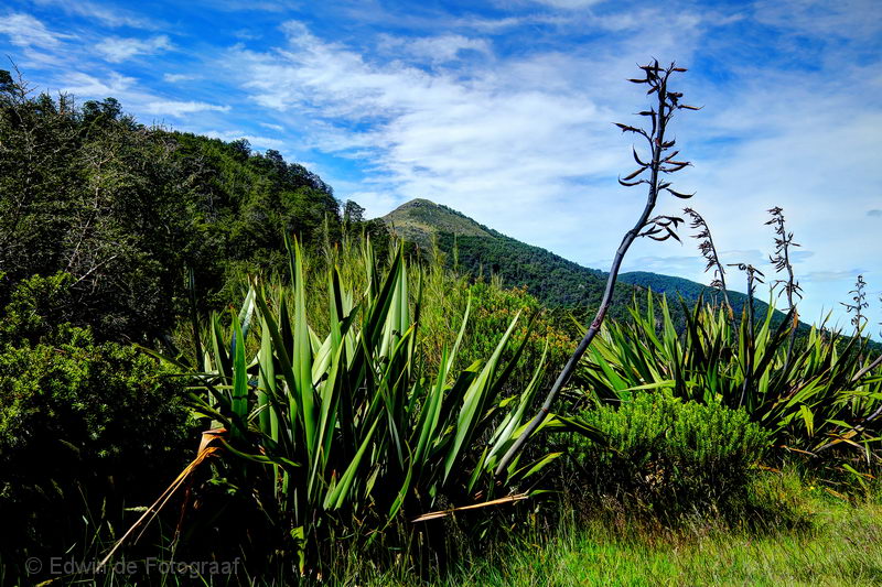
The view from the hut
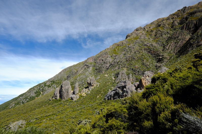
The pinnacles that give the hut its name
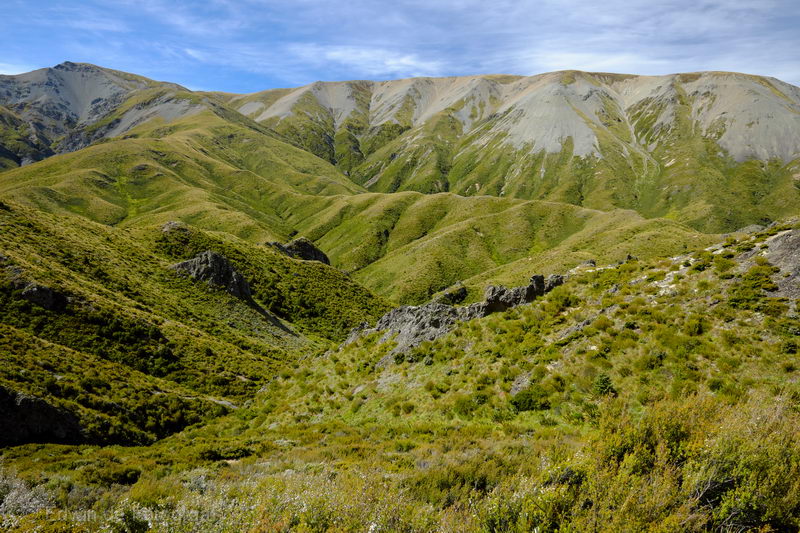
Since I’ve still got hours of sunlight left I decide not to stay at Pinnacles Hut but continue to Woolshed Creek Hut. Looking north is the Winterslow Range
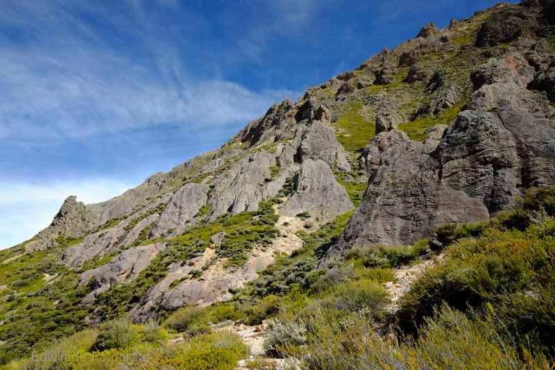
Lots of pinnacles further west of Pinnacles Hut
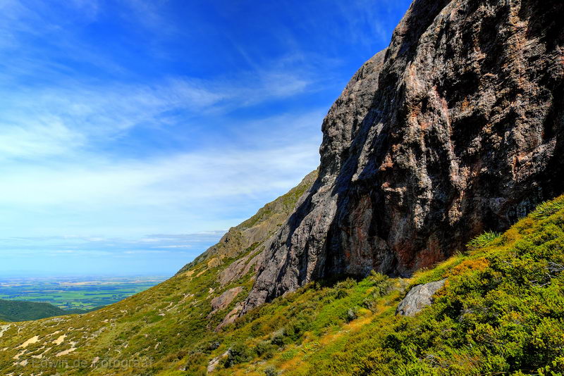
Walking up to a saddle, this is the view looking back towards the Canterbury Plains
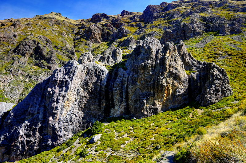
Some people walk up along this slope to get to the summit of Mt Somers, looks very steep
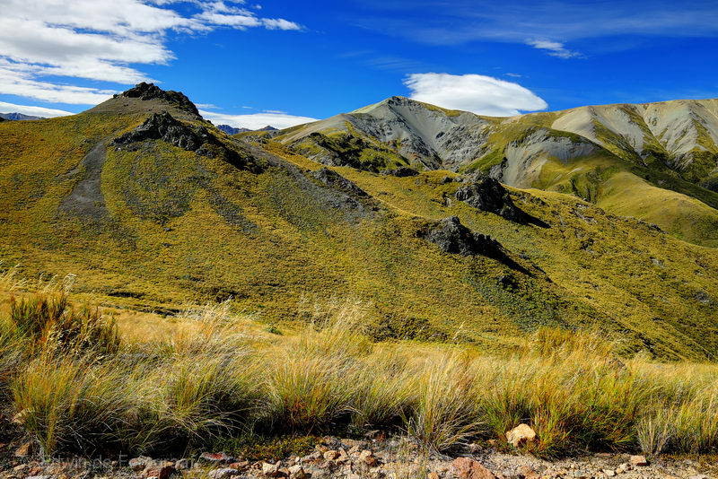
Winterslow Range again
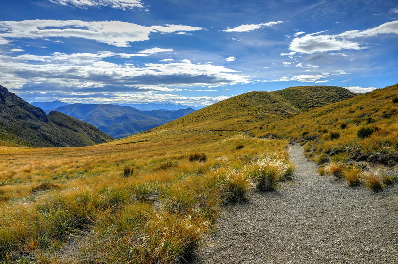
To the west some great clouds are drifting in, it will have been great for gliding
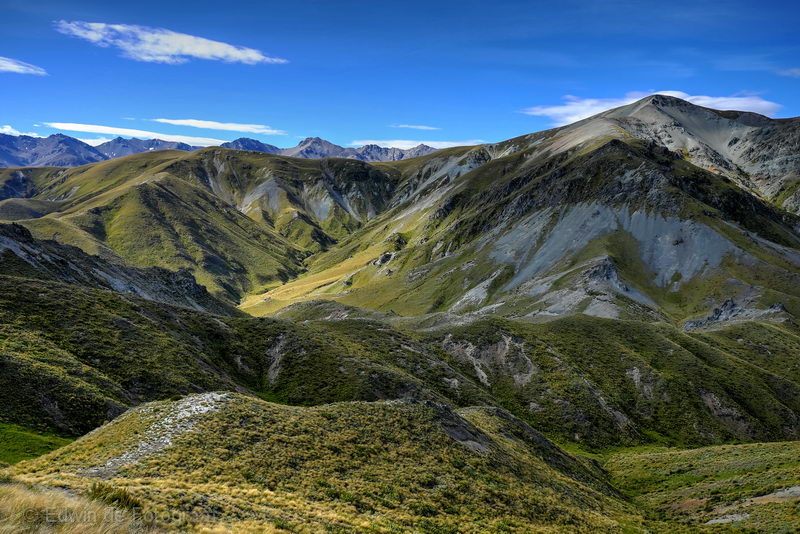
Mt Somers Range coming into view
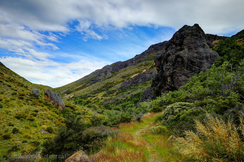
Past the saddle and descending towards the west
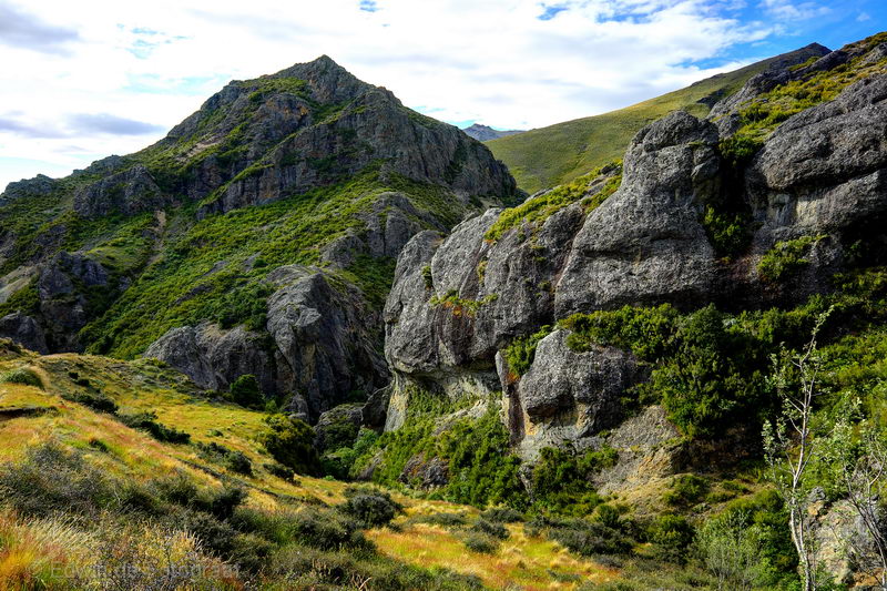
This area is truly stunning
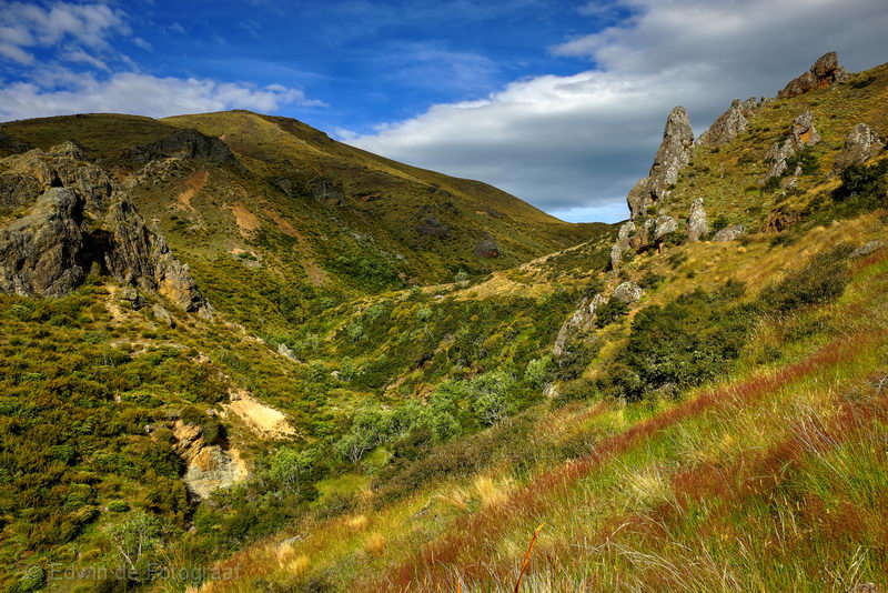
Lovely colours
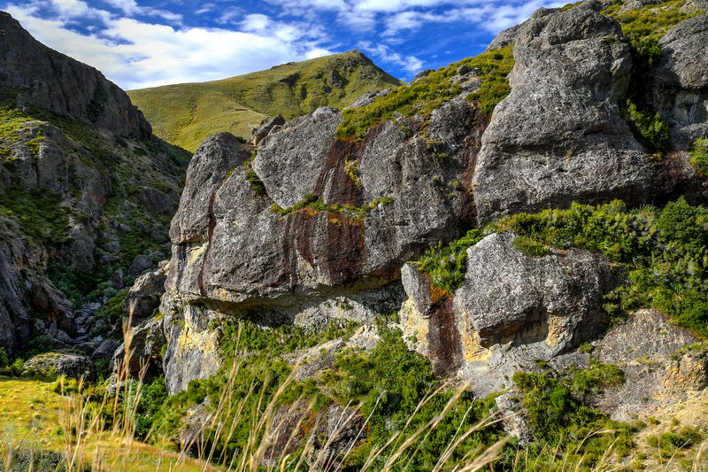
Impressive rock formations
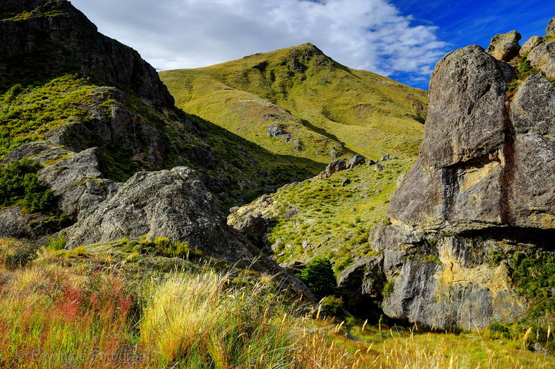
I did not expect such beautiful scenery at Mt Somers!
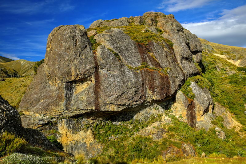
If I had more time I’d climb up there to take some more photos
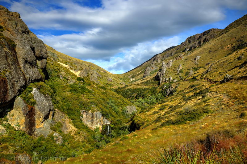
But it’s getting later and more clouds are slowly drifting in
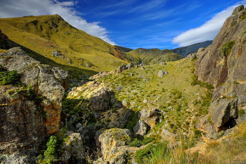
I’m lucky to be here at this time of day and with a nicely clouded sky
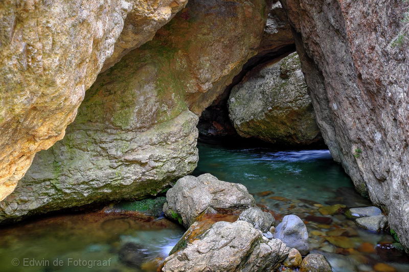
The Morgan Stream
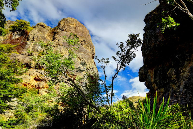
Face on the right
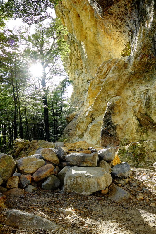
Sun in the ideal spot
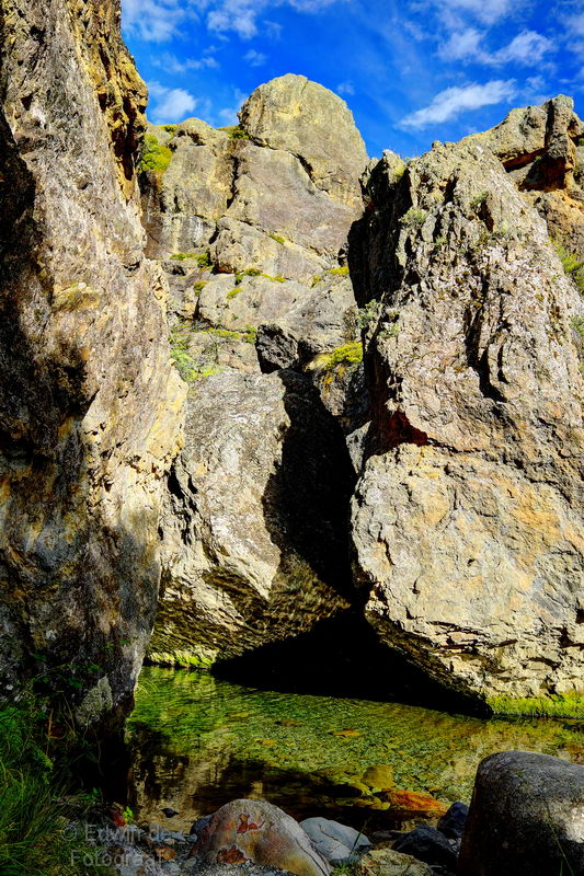
I could be tempted to go skinny dipping here
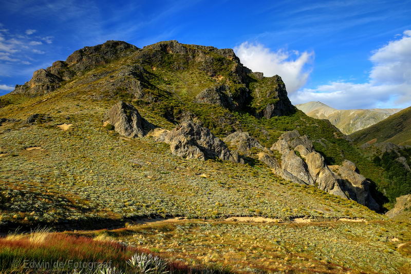
Shadows are getting longer
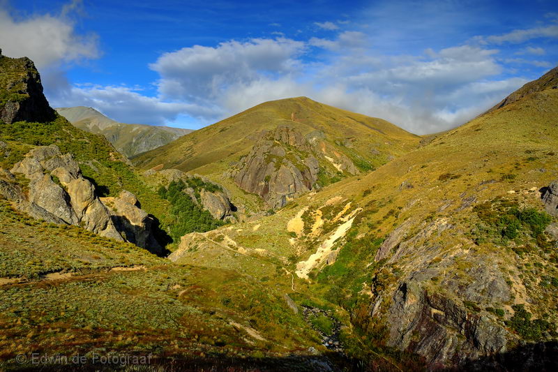
And clouds from the east starting to drift in now
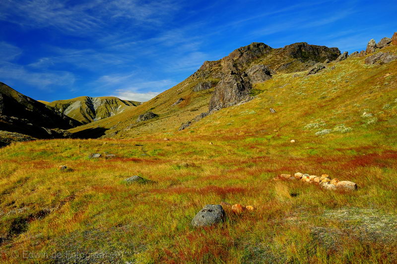
I checked out the hut but there’s a warden 🙁 and it’s too busy, so I’ll be camping, this looks like the perfect spot for it!
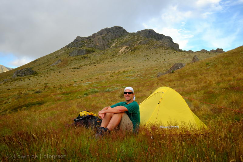
Me and my trusted Freedom Camping/Zempire Mono tent
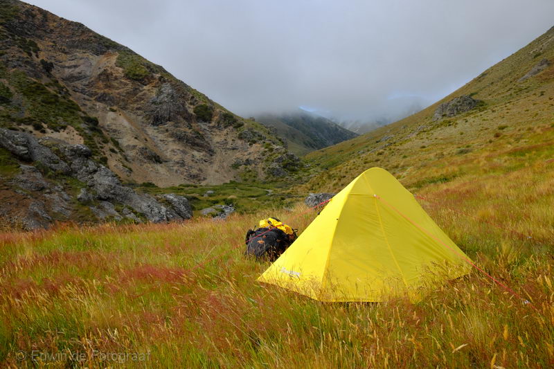
You can’t beat that view, shortly after this photo I had my dinner and went straight to bed
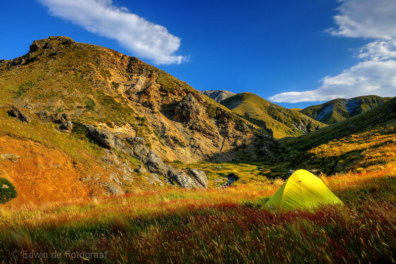
This morning, I am greeted by beautiful weather
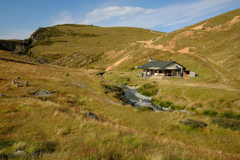
The Woolshed Creek Hut that for some stupid reason you have to book online
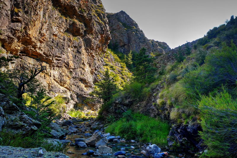
This whole area makes me think of scenes from American Western movies
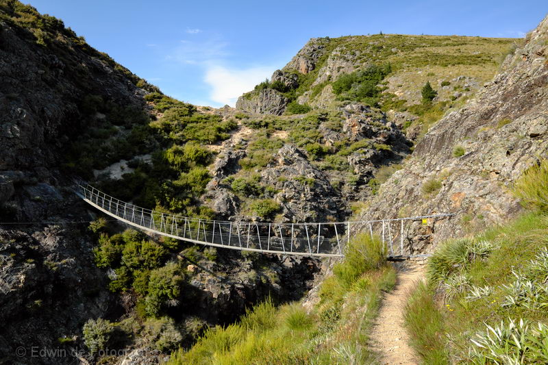
Another bridge and many many hours of walking still ahead
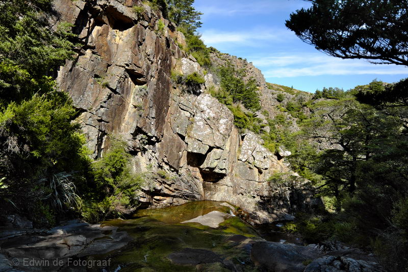
As usual DOC is terrible with their signage so sometimes you walk in the wrong direction for a while but occasionally it at least brings you to a beautiful spot, like here
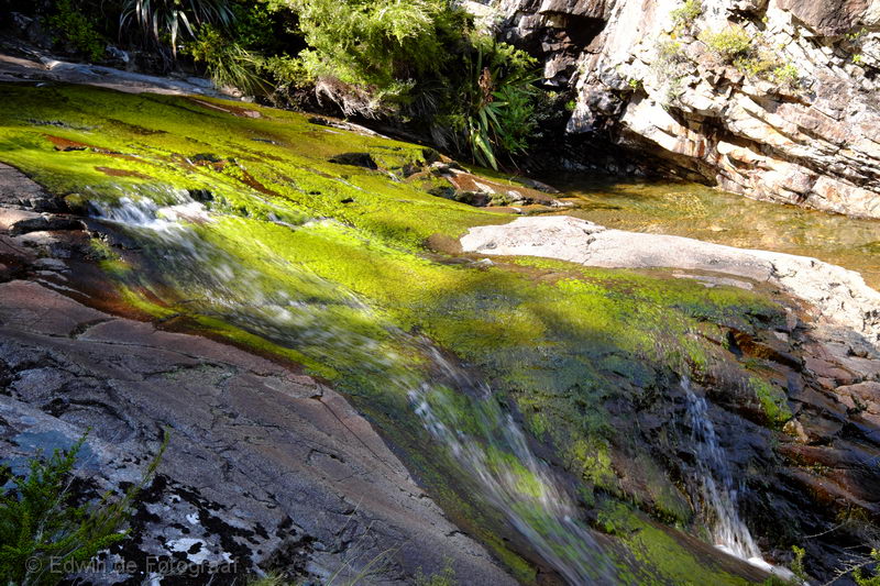
Not sure what the green stuff is but the colour is nice
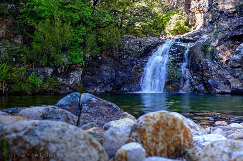
A little waterfall and a pool worthy of a swim, but not this time
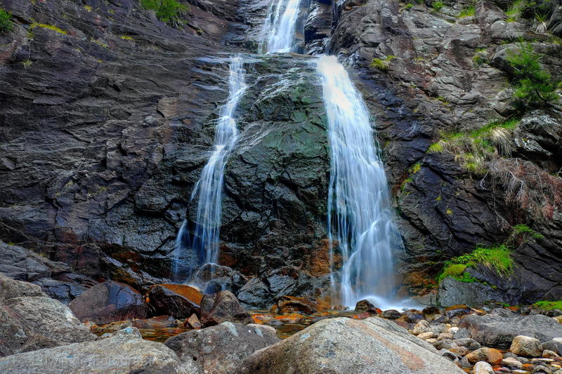
Another waterfall
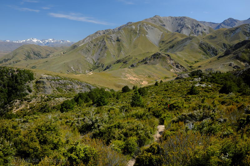
Looking back to the north-west, Mt Somers Range Straight ahead, Potts/Arrowsmith Range in the far distance
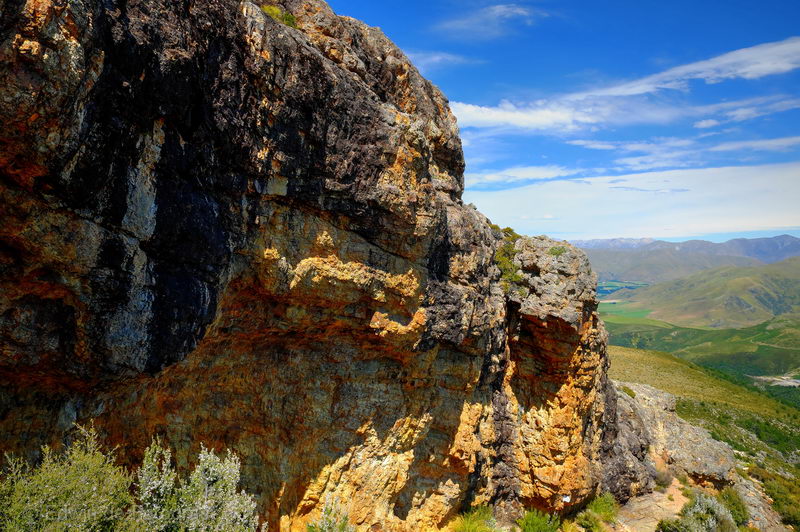
The Bus Stop Overhang
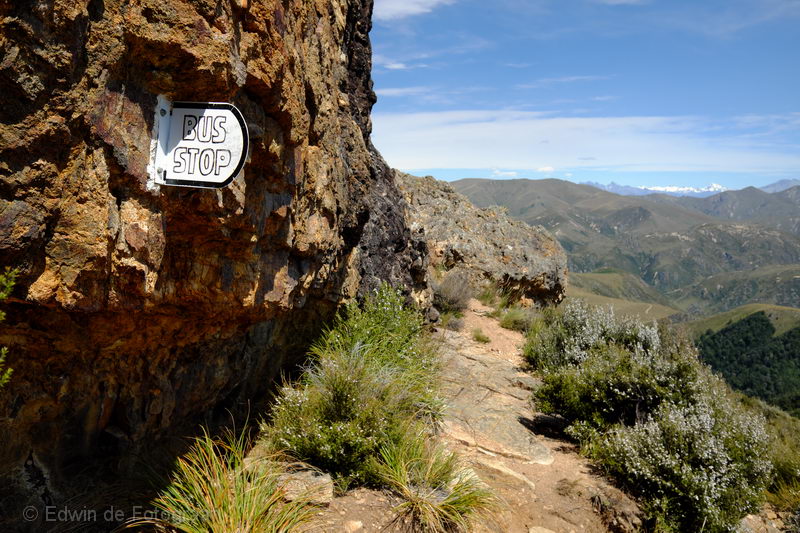
Yes, Bus Stop
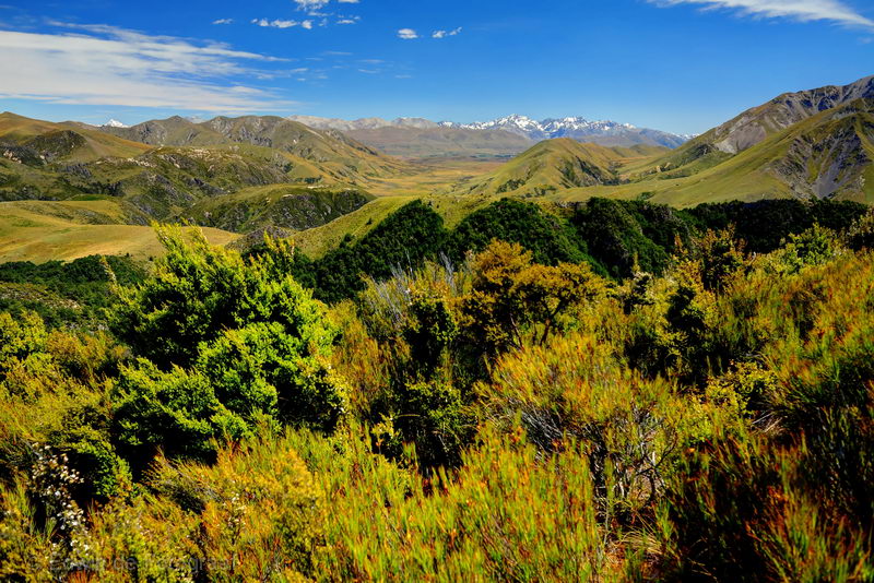
Looking back to Potts/Arrowsmith Range again
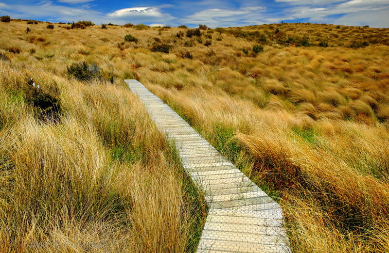
Today is an incredibly warm day (37 degrees in Christchurch) and here I am, walking in the blazing sun, luckily there’s a decent breeze
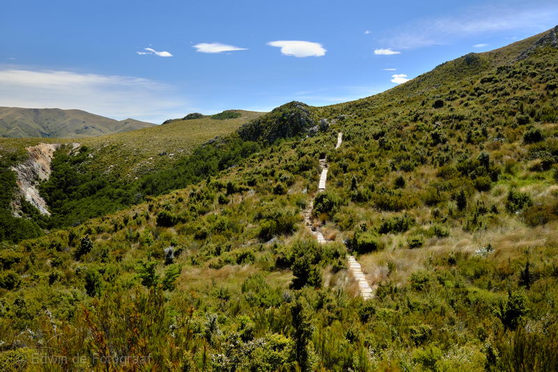
Looking back towards the Bus Stop
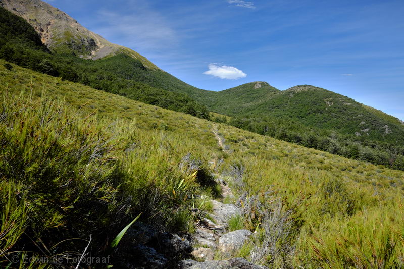
2 hours later, I drank 6 liters of water already and am now out of water, I need to find a stream somewhere. The track goes straight ahead towards the saddle underneath that cloud. In this heat it’s not much fun constantly having to walk up
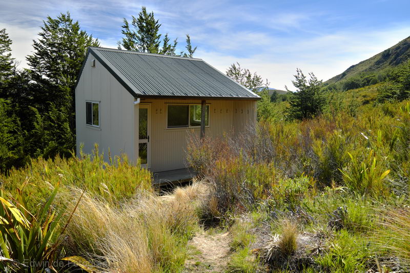
Acland Shelter
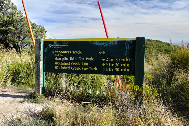
When I finally made it to the Mt Somers Summit Track I decided to abandon my initial plan to camp here and go to the summit tomorrow as I have not found any stream to get new water, what remains is another 2.5 hours of walking, luckily it’s downhill from here!
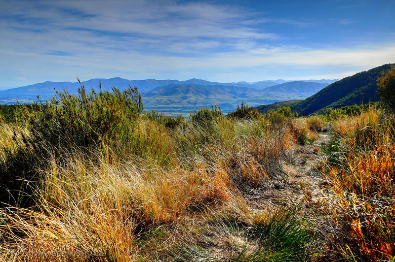
Looking south-west towards the Moorhouse Range and Tara Haoa Range in the distance
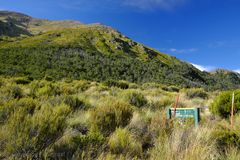
The Mt Somers Summit Track, steep, maybe another time
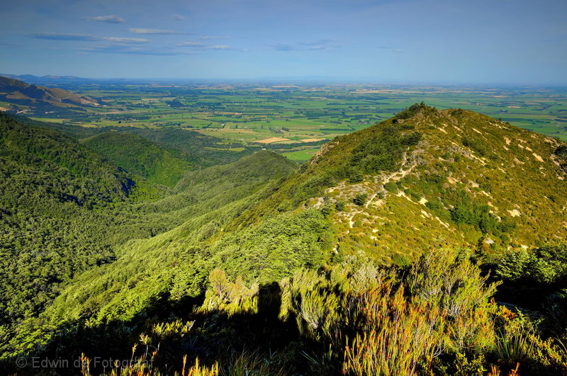
Very strong wind now, it’s pushing me down the mountain, I’m glad I was finally able to do this track, though especially today was pretty exhausting

Map and height profile of the track, the first part yesterday was 11.4 km, today I walked 13.3 km (with about 20kg on my back)
Heb de afstanden toegevoegd bij de map onderaan. De warden is er om de boekingen te controleren en hut-tickets van je af te pakken. Ik had geen van beide bij mij. Ik geef de voorkeur aan hutten zonder toezicht, meer gevoel van vrijheid en geen betutteling. Ik word altijd gezocht; vrouwen die met me op de foto willen, handtekeningen eisen etc., je kent het wel.
Hey Ed, hoeveel km was deze tocht? En waarom stond er een warden bij die hut, zodat je er niet in kon? Is dat een plisiewout ofzo? Want je wordt gezocht waarschijnlijk?? ;P