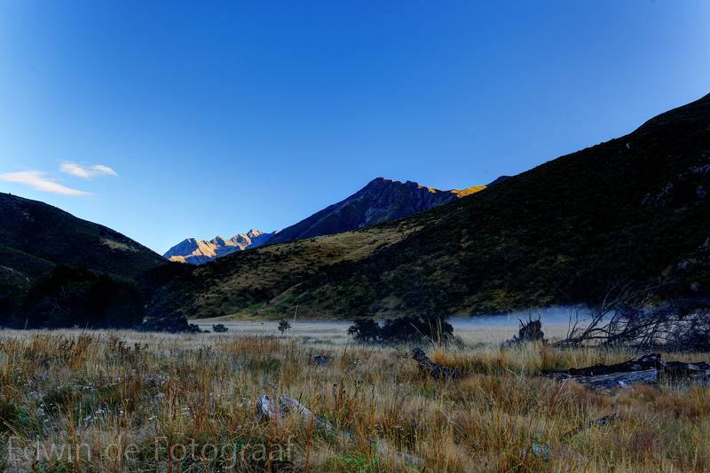
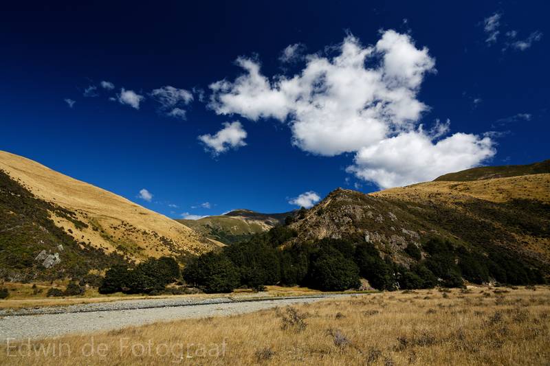
After a cold night we wake up to a clear blue sky
It’s so cold that it’s time for some yummie toasties first
And then back to enjoying the view
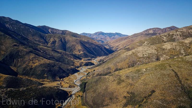
This is the valley through which the Eyre Creek runs, it pretty much splits the Eyre Mountains in half, this is the view to the north-west
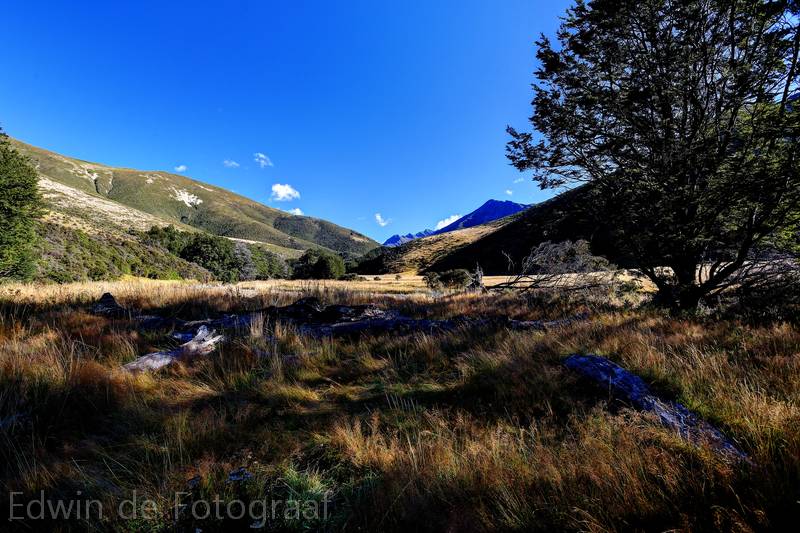
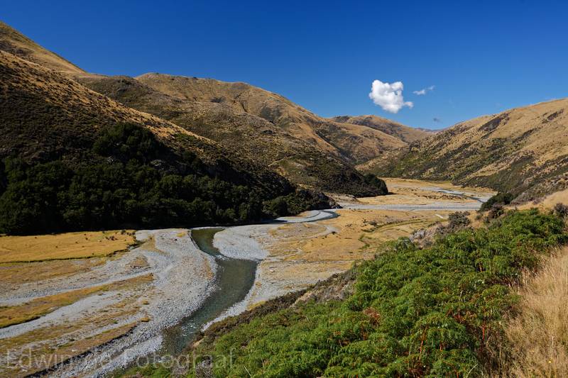
And the view south-east, where we came from yesterday and are heading back to today
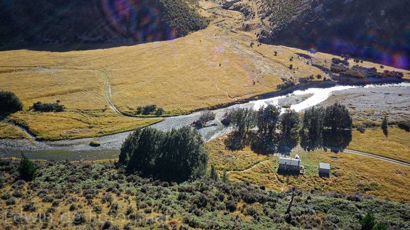
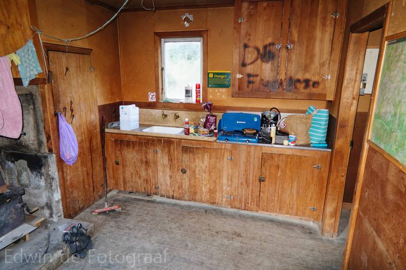
The Shepherd Creek Hut
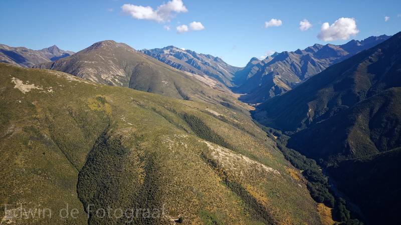
And some drone footage
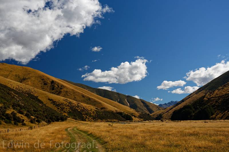
On our way back towards Athol
I love being able to explore valleys I would never be able to without a proper 4WD, so beautiful here
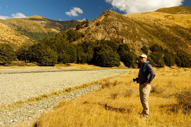
Me
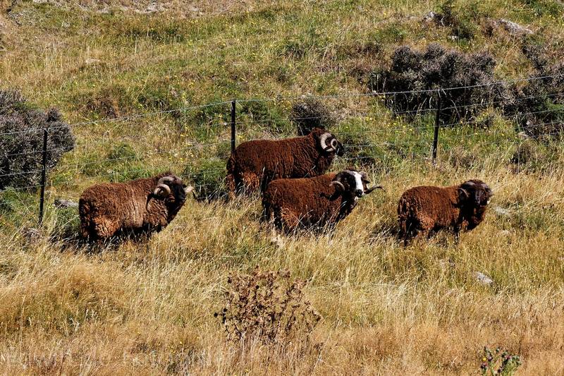
Rams
Bye bye valley, we’ll be back some other time
A video of the 4WD track
We drove to Lake Monowai and discover there’s actually not much to do here, except a small walk, the Monowai Lookout Track
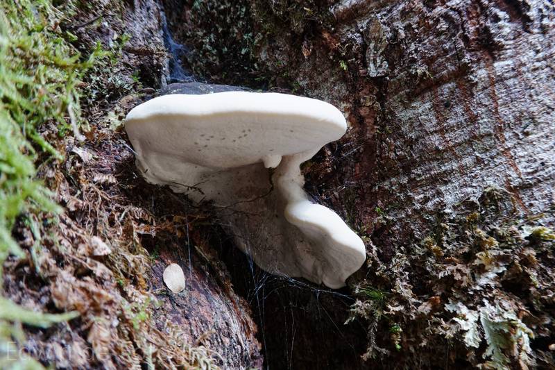
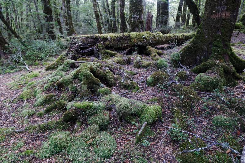
It’s about half an hour from the car park to the end of the track, it leads us through a forest with lots of fungi on the trees
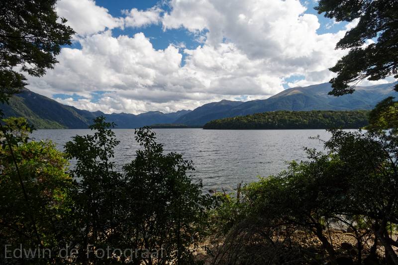
And at the end this view of Lake Monowai
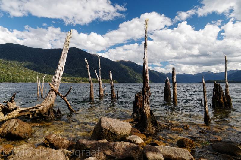
We are at the southern tip of McBrides Peninsula here
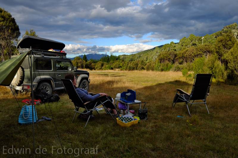
Our campsite for the night
Gaaf die dronebeelden als hij laag door de vallei vliegt! Bijna als een jetfighter in de mach loop..
I wonder if Eyre creek runs along a fault line?
Doesn’t look like it, just a looooong valley. http://www.topomap.co.nz/NZTopoMap?v=2&ll=-45.413061,168.403931&z=11