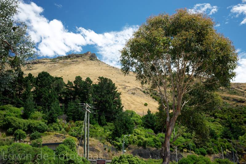
Time for yet another walk, it will be some combination of Lyttelton Walks I found here (orange number 1 and 3)
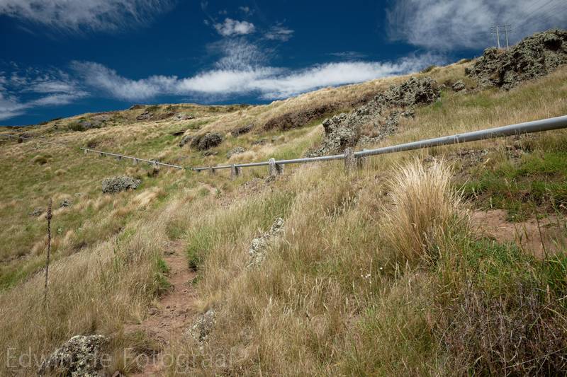
But it starts by walking from the Gondola up to ridge via the pipeline, which is really steep
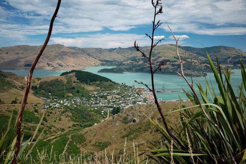
Once on the top (damn, it’s hot today!) you see Lyttelton and the track I want to walk follows that ridge that starts in the middle on the left towards that area with all the dark trees, through Lyttelton and back up again to the ridge and then down again back to the Gondola
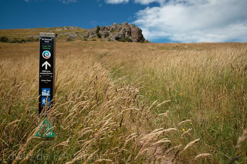
Past Mt Cavendish and towards Mt Pleasant
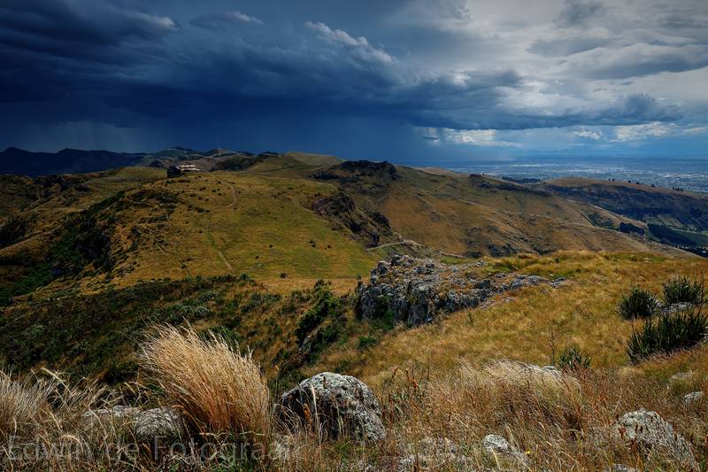
Whoa! Some wild weather coming through
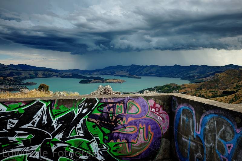
At the gun emplacements, glad I wasn’t in the path of all that rain
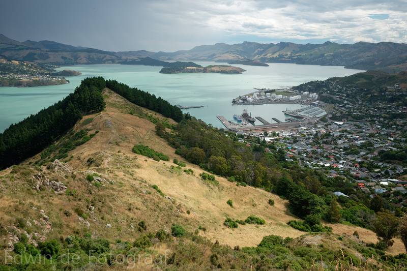
Now entering the Urumau Reserve
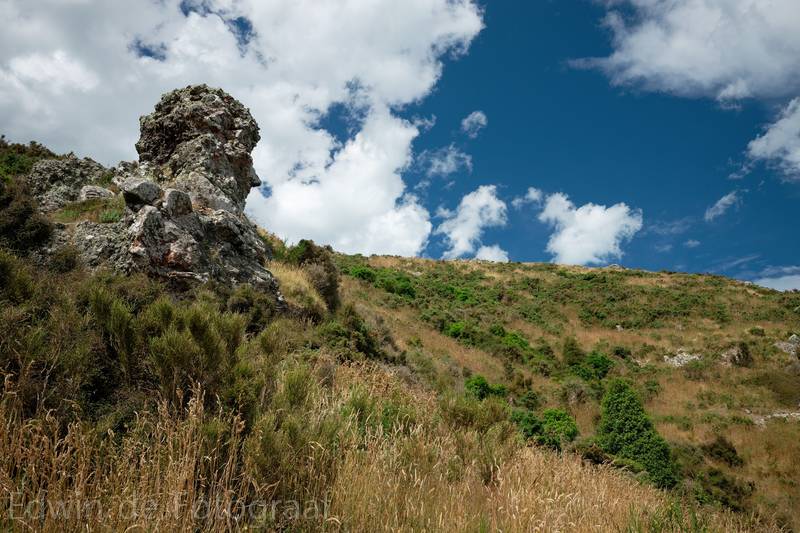
This rock really looks like a face (looking towards the right) to me
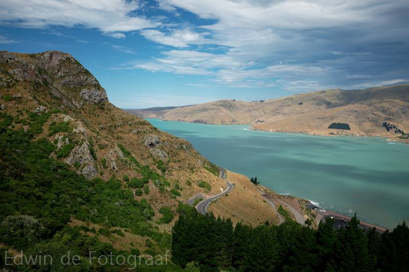
The view to the east with the repaired road from Lyttelton to Sumner
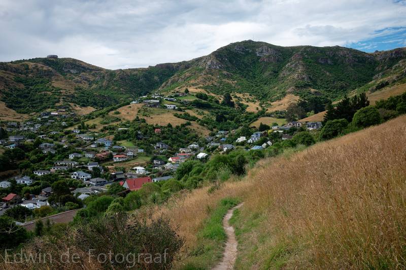
From here the path goes down to Lyttelton and then back up again to the right of the Gondola, it’s stinking hot and there’s no wind, luckily I found someone in Lyttelton who was watering his garden and who was happy to give me a little shower to cool off as well, I was very happy when I finally got back to the car
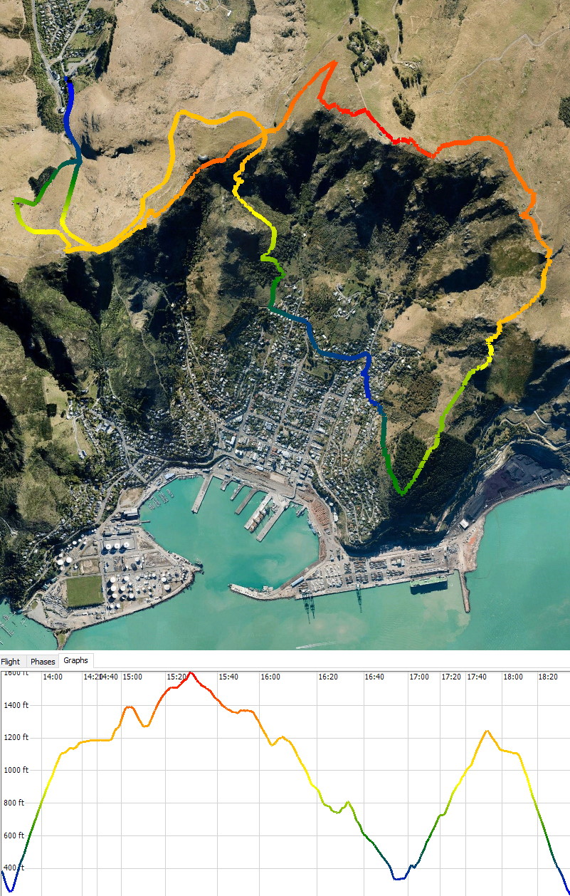
A map and height profile of today’s walk (12.2 km)
That gun emplacement photo is awesome! I thought that the walk from the gondola up to the summit road was opon mt Cavendish?