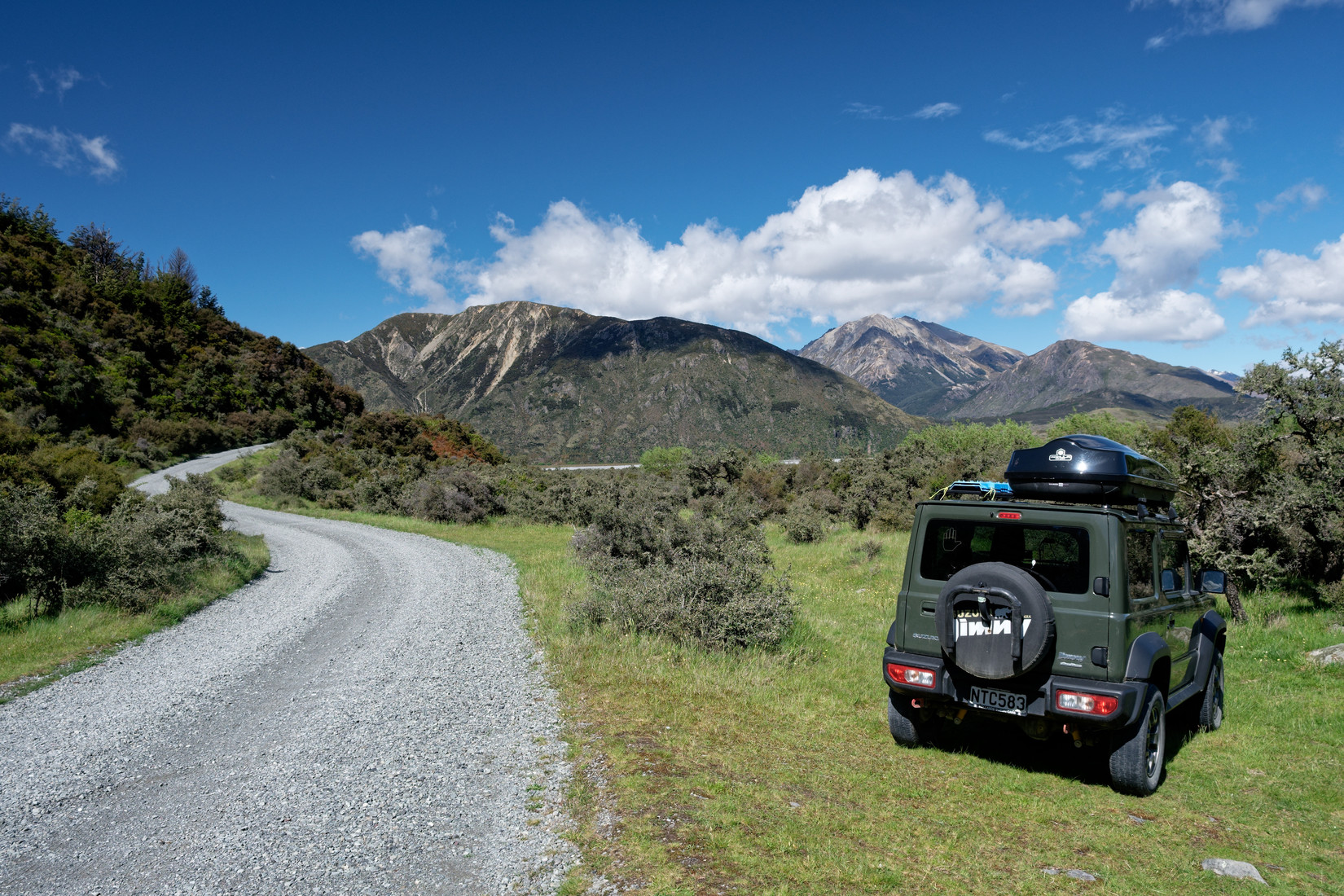
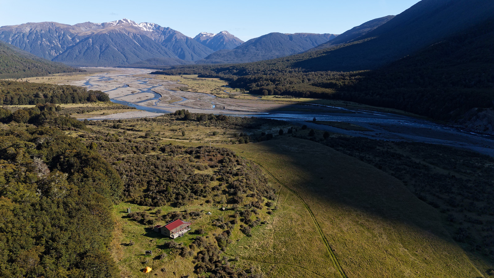
Saturday morning and time for another hike! I’m doing the Casey Hut Loop Track. I’ve done this loop before but in the opposite direction and back then there was no hut (Casey Hut was burned down in October 2015). This is at the Andrews Shelter and Campsite
Looking west
Sugar Loaf straight ahead, Purple Hill to the left of and behind it
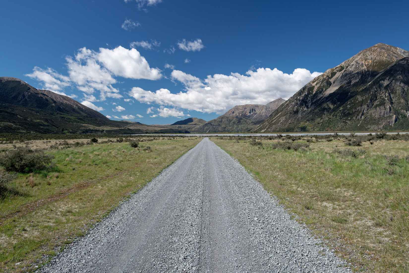
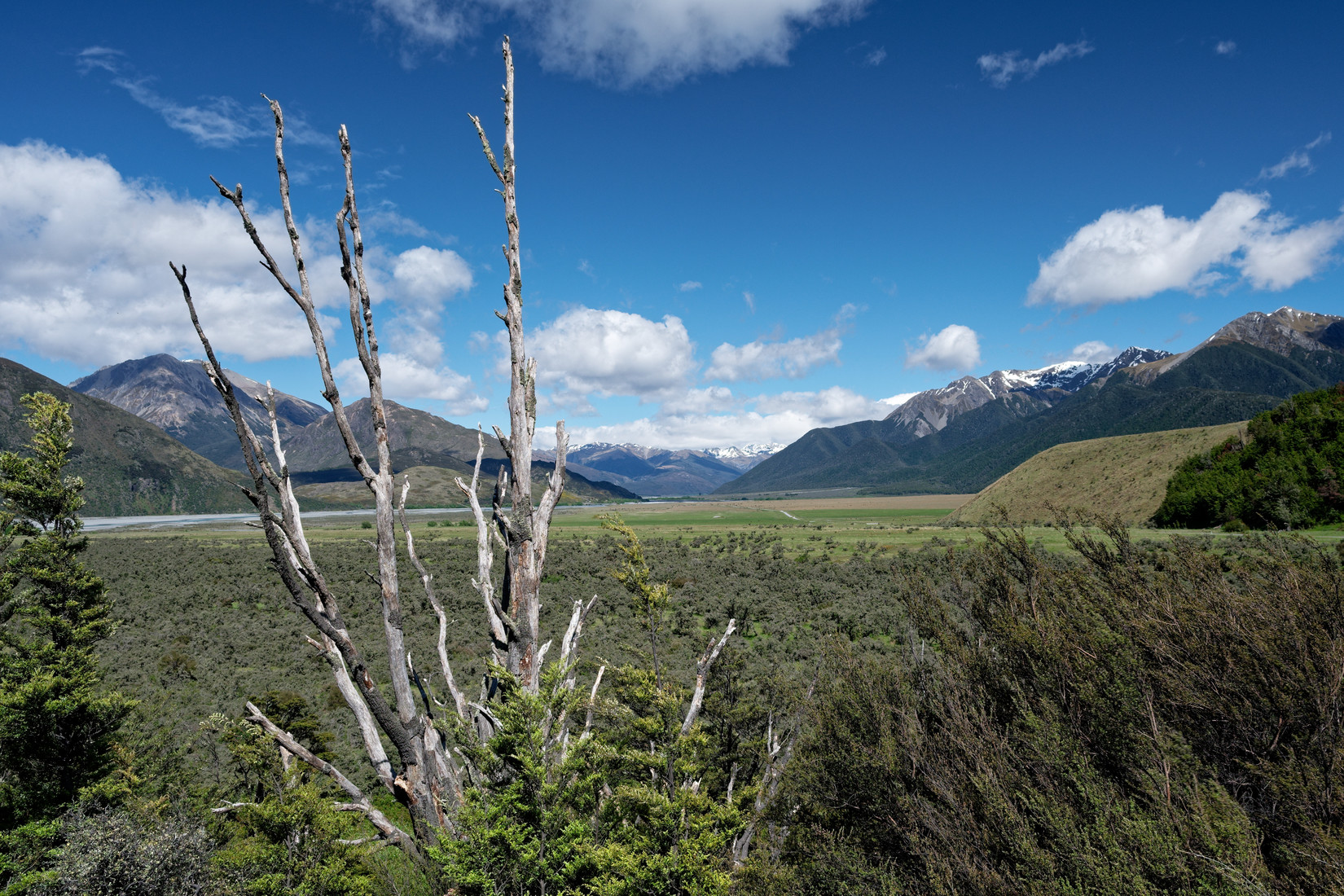
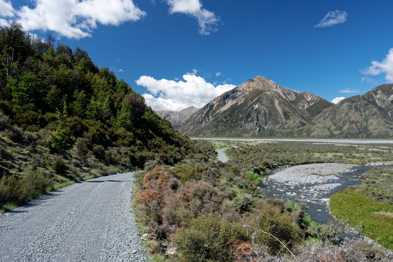
The first half an hour of the track is along the road
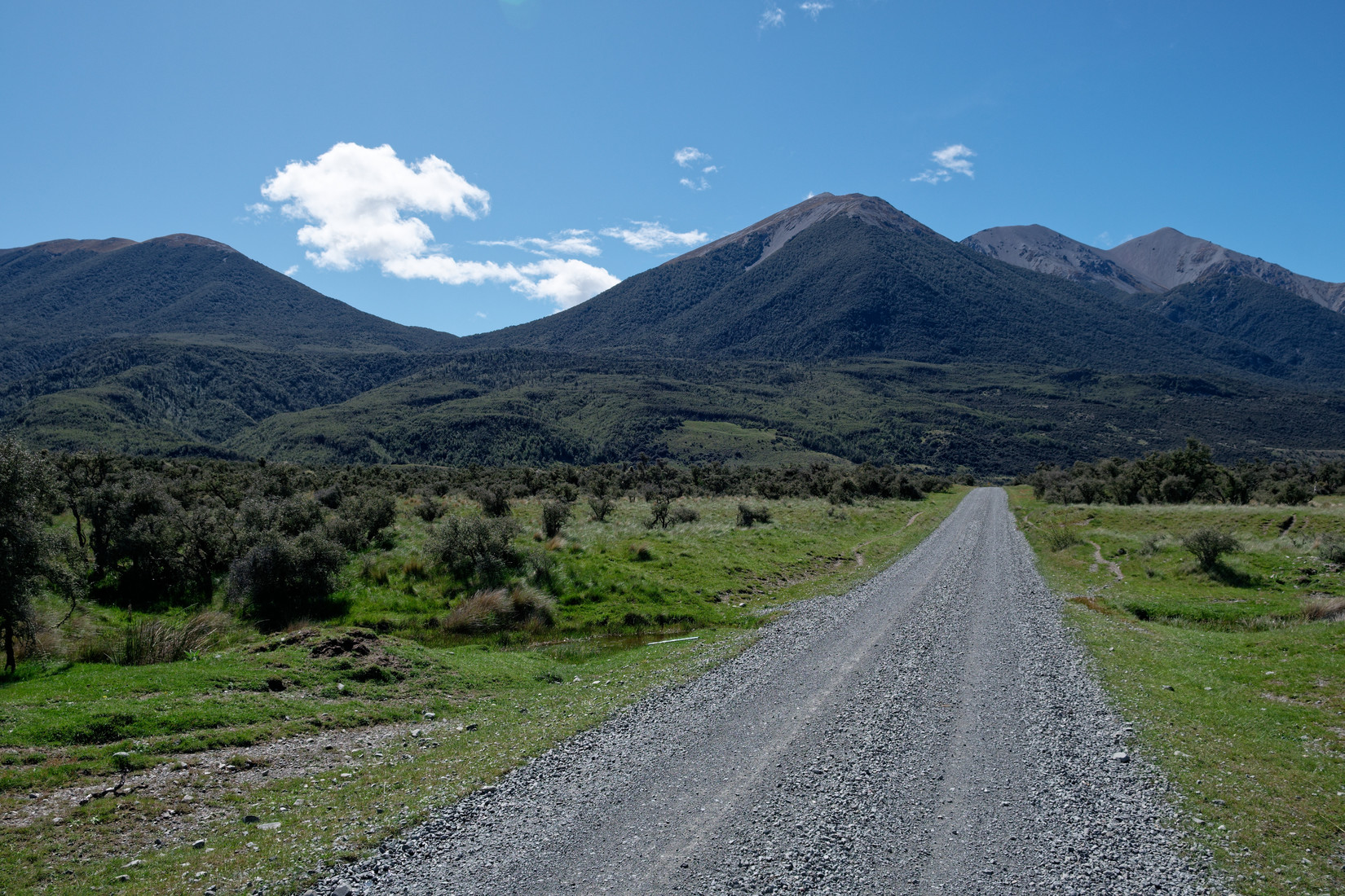
And soon the Binser Saddle Track will start on the left and take me over the saddle below those clouds on the left
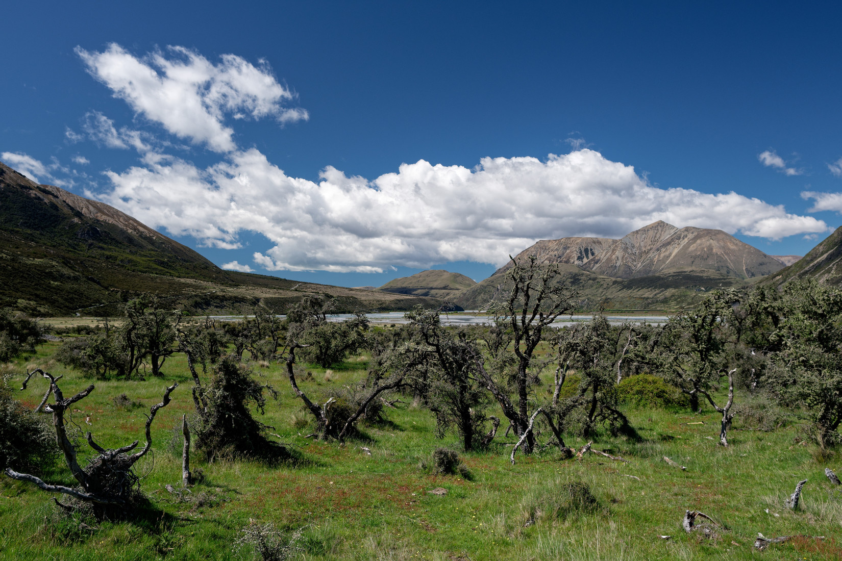
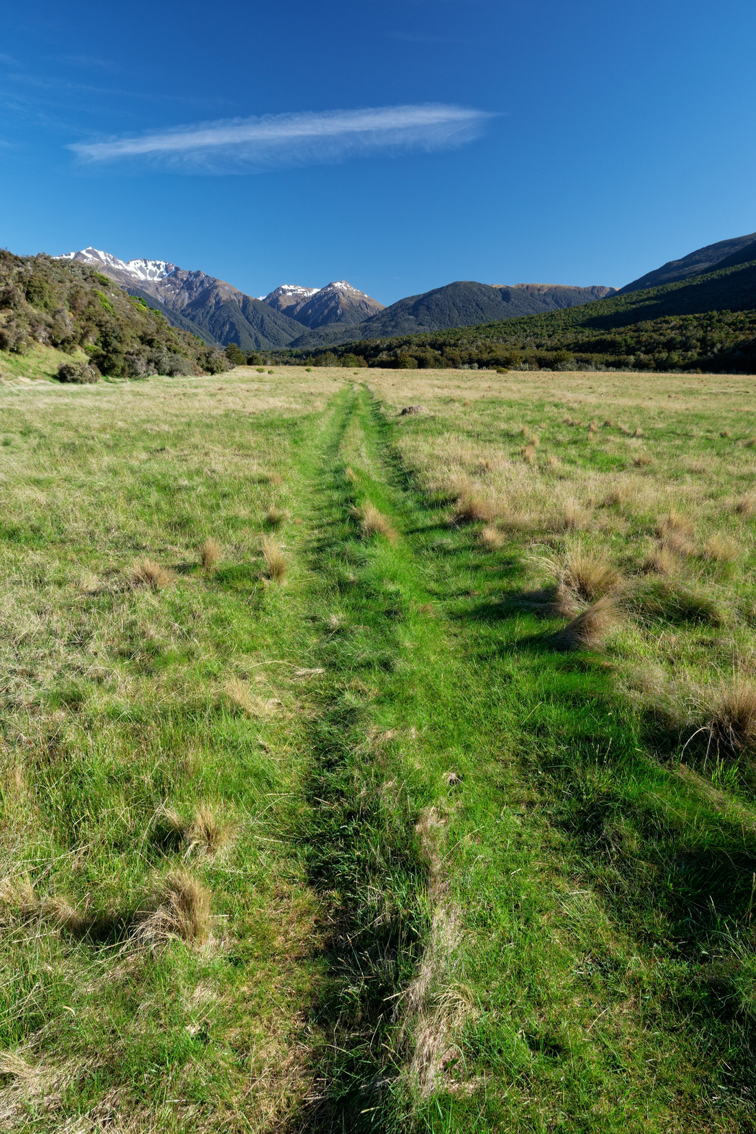
Another look towards Purple Hill, where I fly so often. It’s still early but already quite a lot of cumulus clouds, it’s supposed to overcast today and come with some nasty weather, at least further to the east
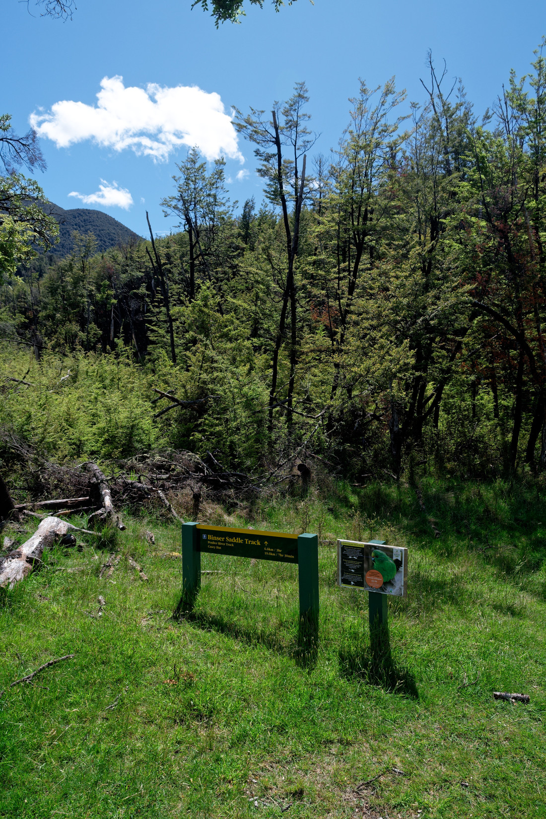
Start of the Binser Saddle Track, it should be 6.6km / 3 hr to the other side of the saddle and 19.6km / 7.5 hr to Casey Hut
The track climbs steeply, this is looking back towards the west, some cloud coming in
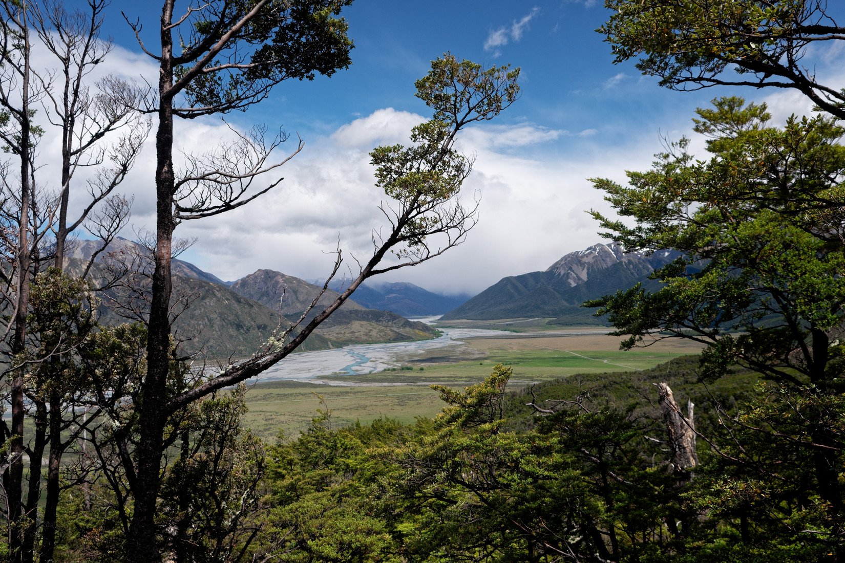
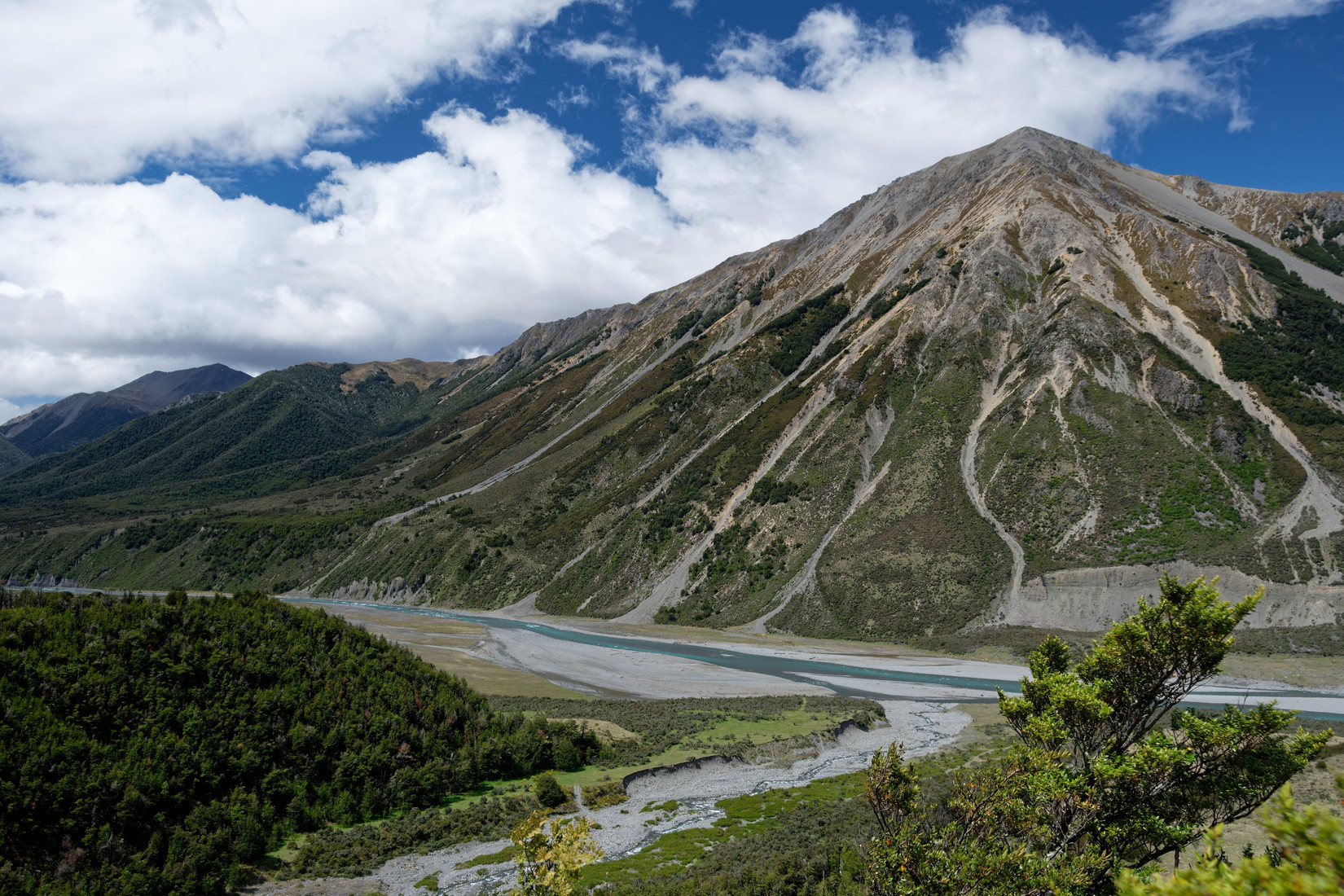
The Waimakariri River, looking upstream
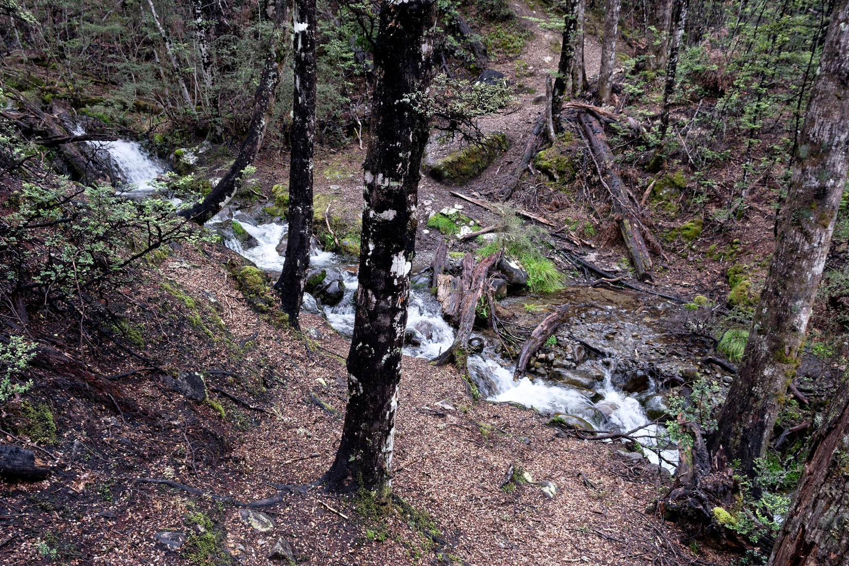
Quite a few of these little stream crossings, I don’t like getting my feet wet, luckily these stream are small enough to step over
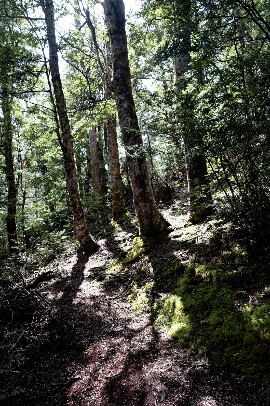
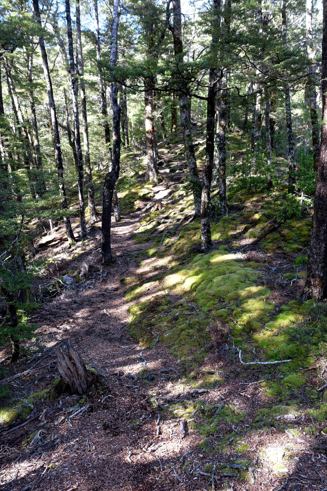
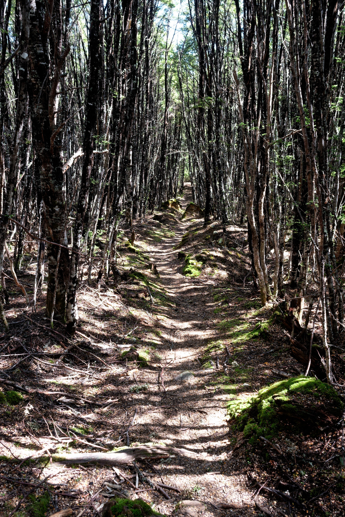
Great weather for a hike, love the sunshine through the trees, the terrain is rather steep though
Getting closer to the Binser Saddle, it’s flattening
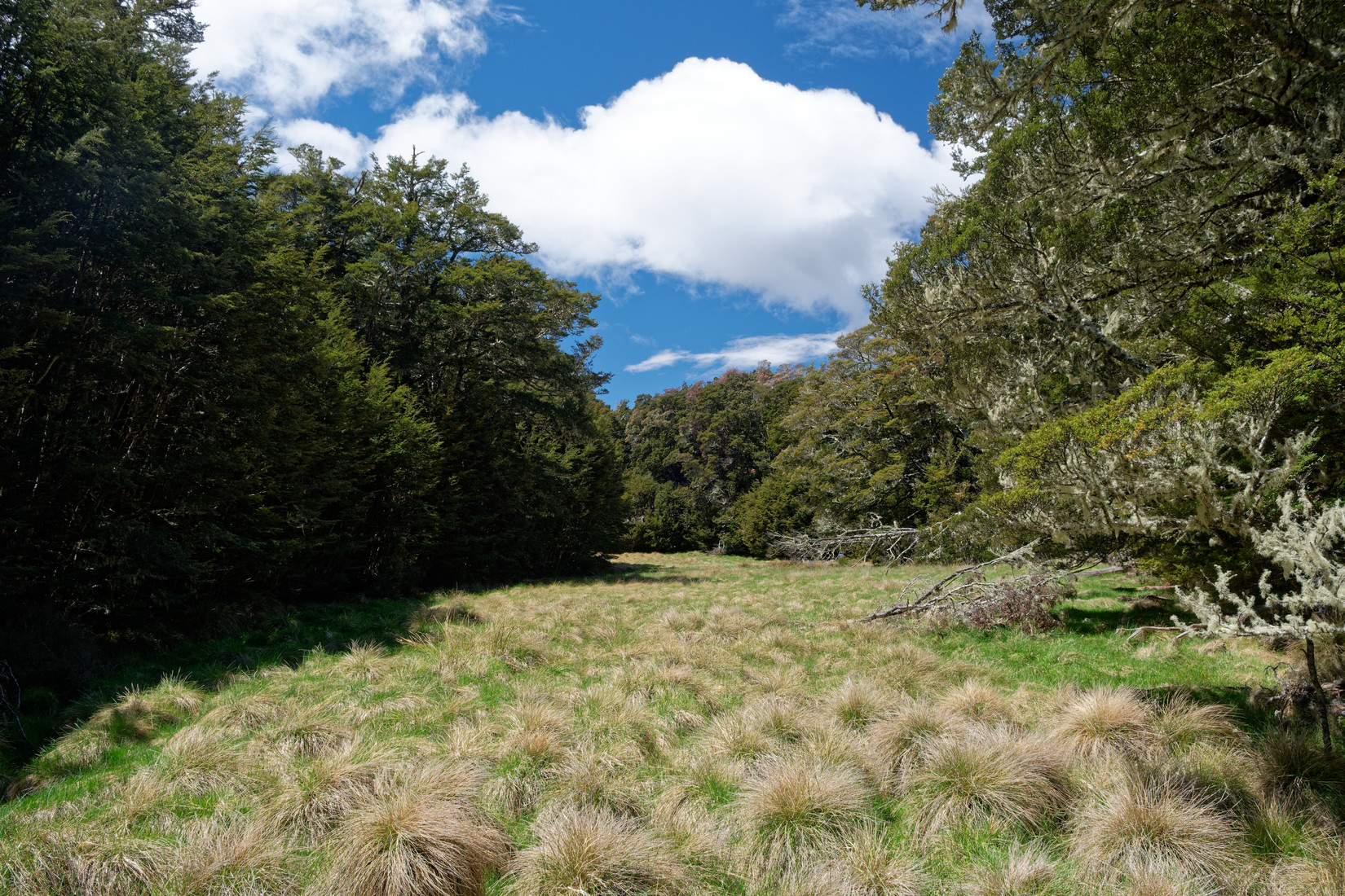
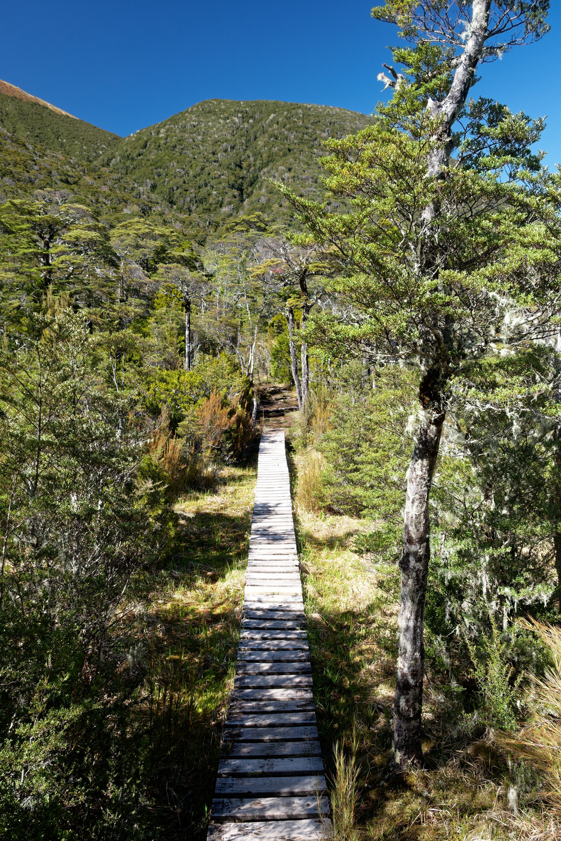
Grassy patch at the very saddle, nice place for a rest
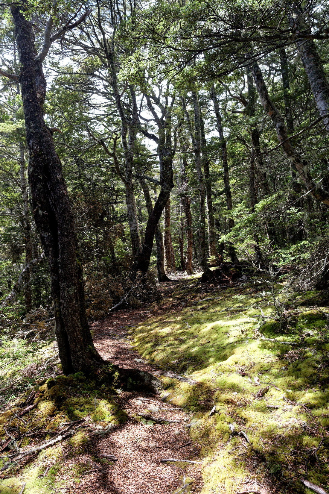
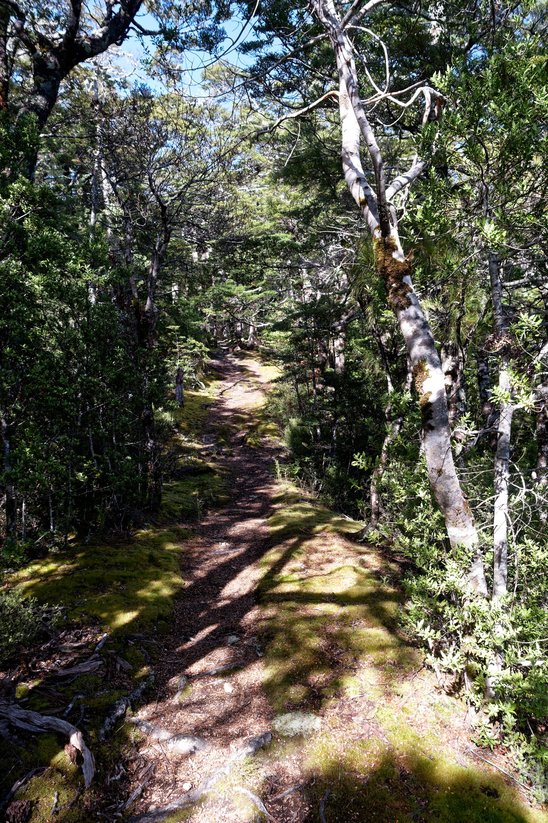
From here on it’s all downhill again, lots of beech trees (right?)
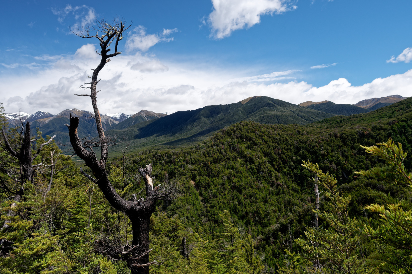
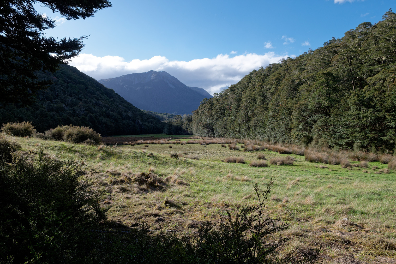
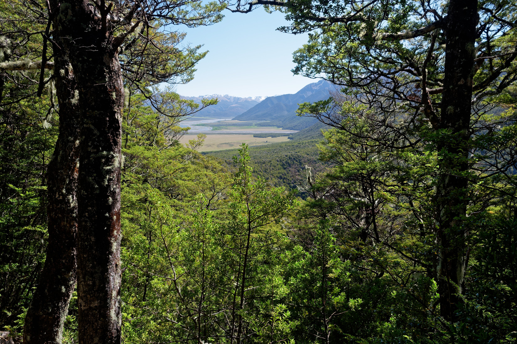
I’m starting to see Peveril Peak throught the trees
Yep, there it is. I was here yesterday when I was flying and I had a low-ish save here
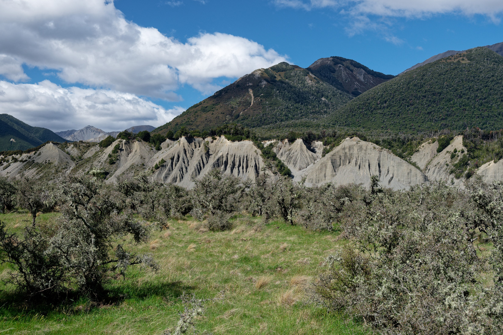
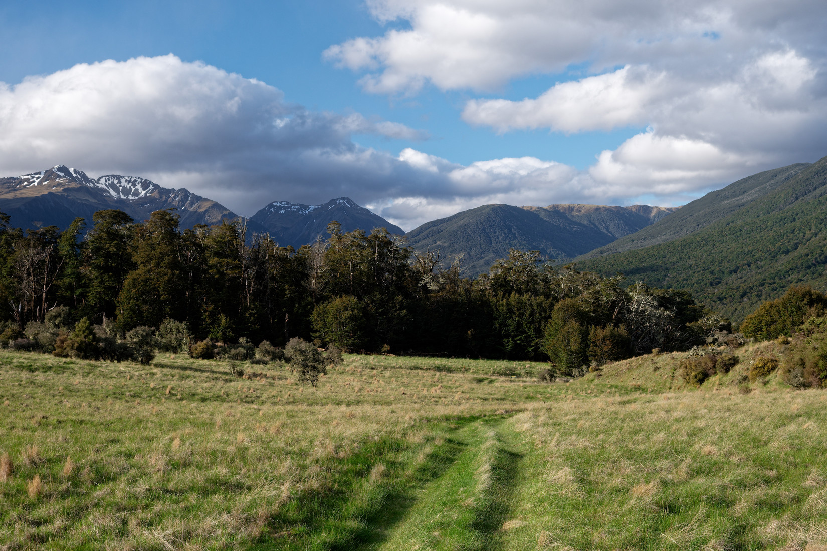
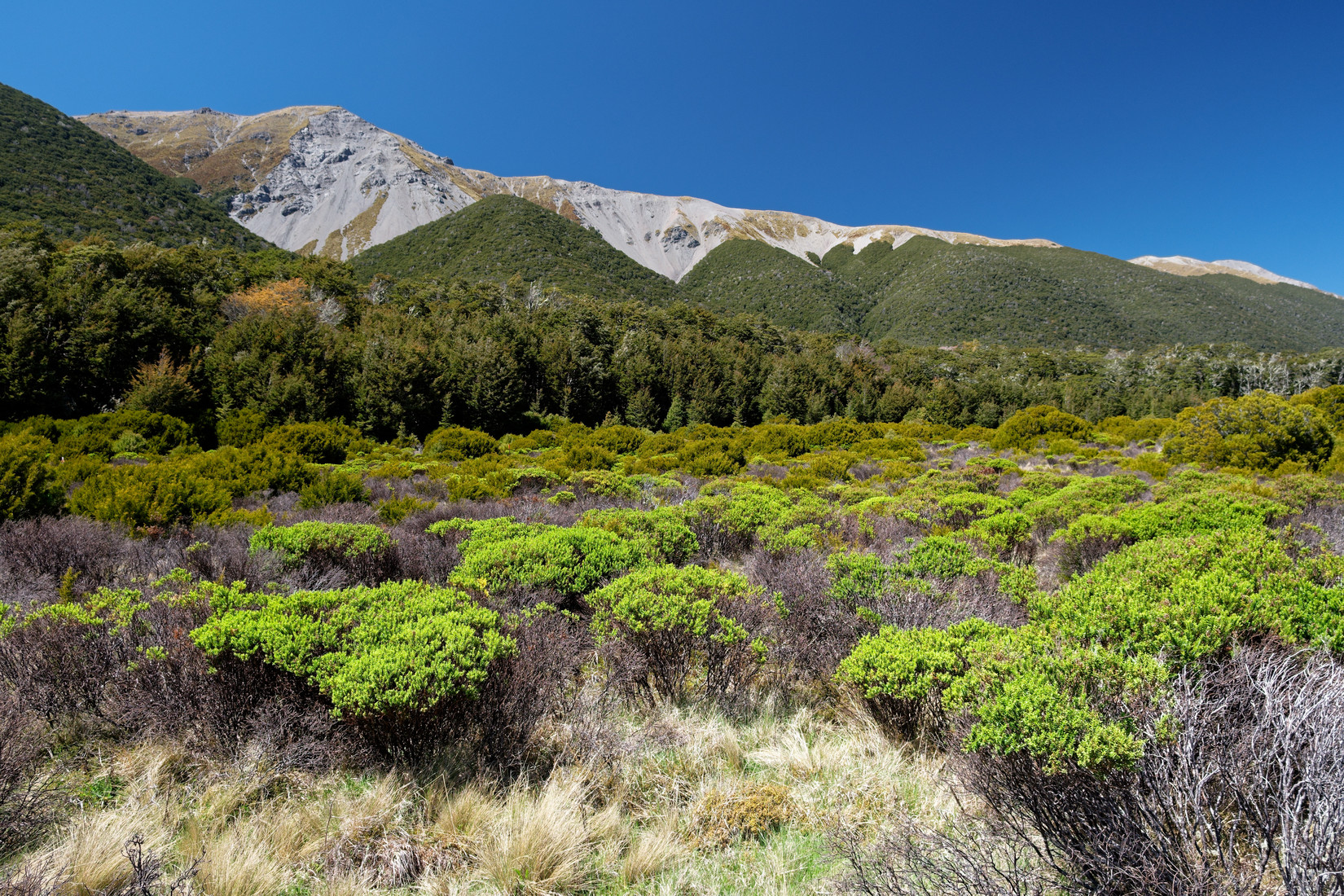
Interesting landscape at the foot of Gray Hill
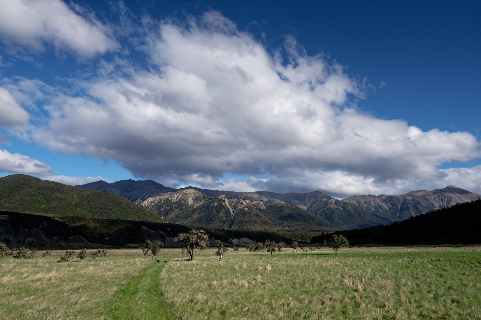
The Poulter Range
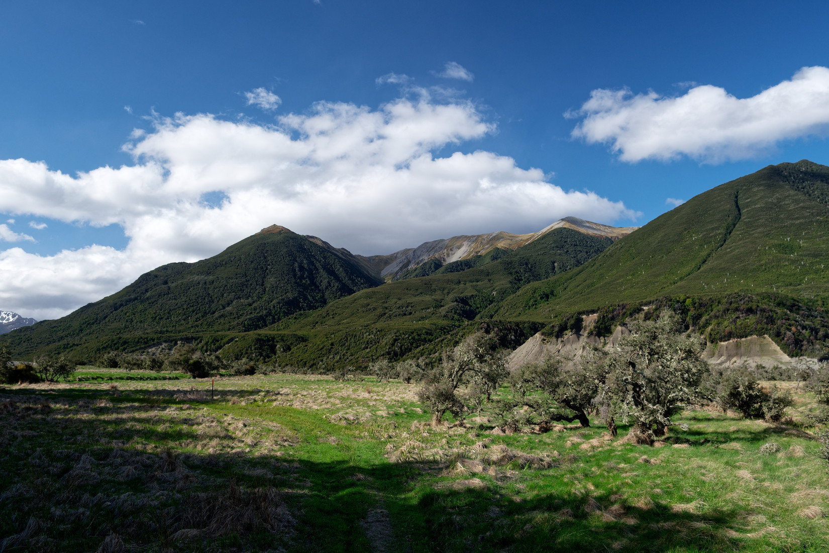
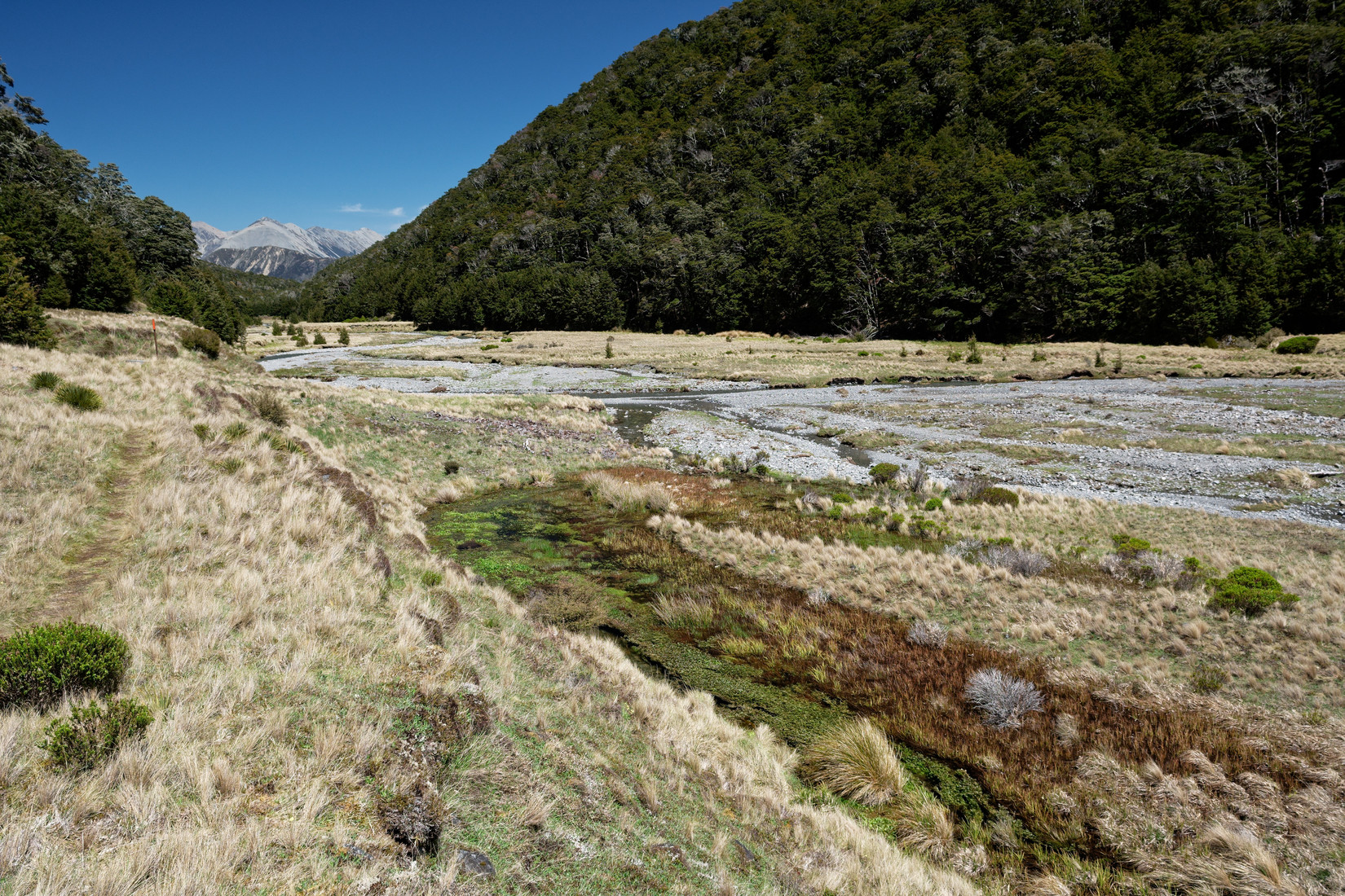
Looking back
I’m really tired now and still have got a few km to go
Almost at Casey Hut! Should be 20 more minutes now
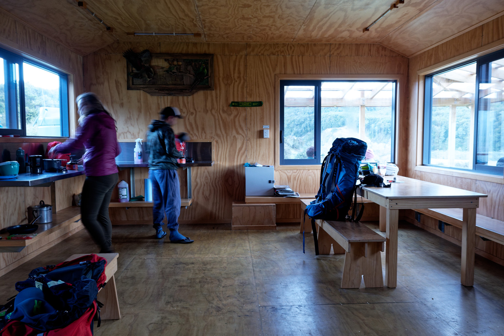
After the previous photo I arrived rather exhausted at the Casey Hut where I had my dinner and not long after that went to sleep as I was exhausted. This photo is Sunday morning, around 8 in the morning and my backpack (at the table) and I are ready to go
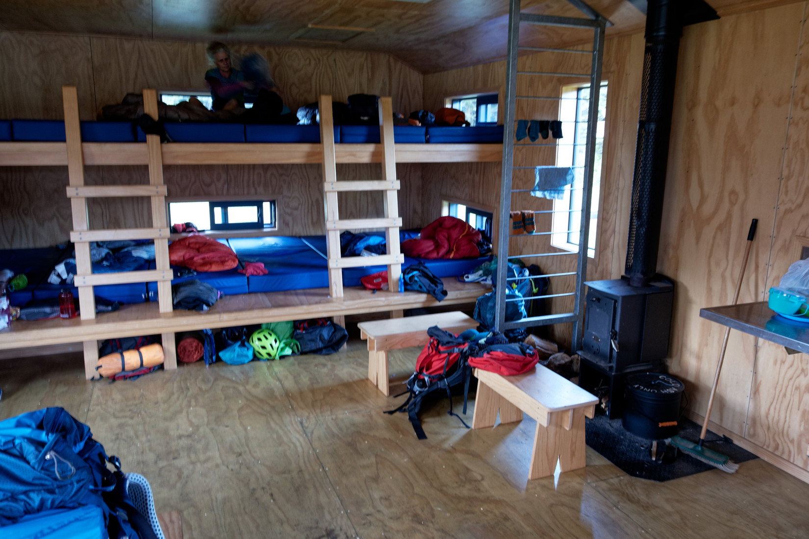
But first a photo of the other side of the hut where 12 of us spent the night, I think it was a snore fest
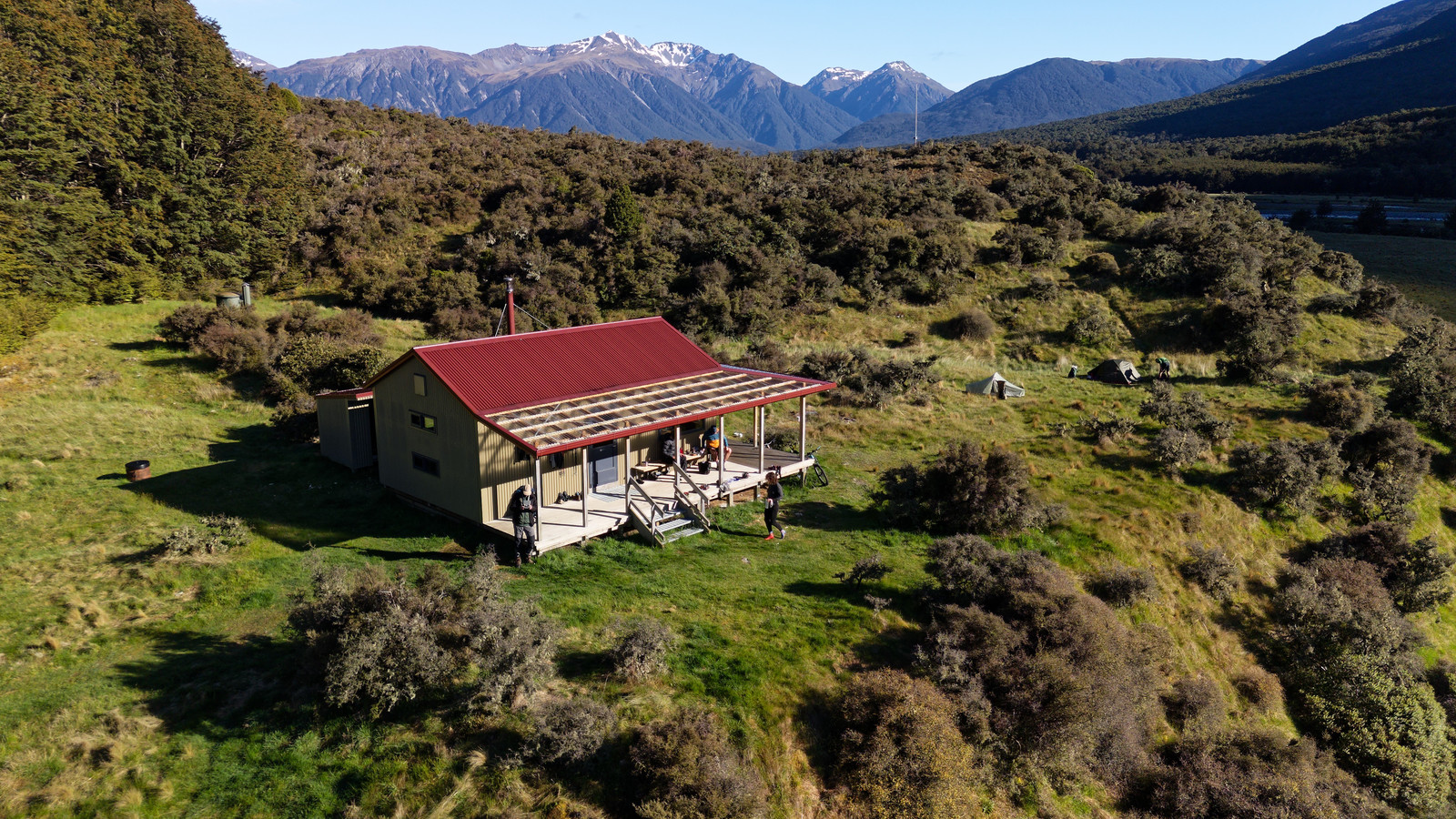
Casey Hut
Casey Hut and the Poulter River, Snow Cup Range in the background
And I’m on my way again! Another lovely day
I was already tired and the track turns out to be brutal: it only goes up and up and up and up with no end in sight
Every few minutes I need to take a short rest, just to catch my breath
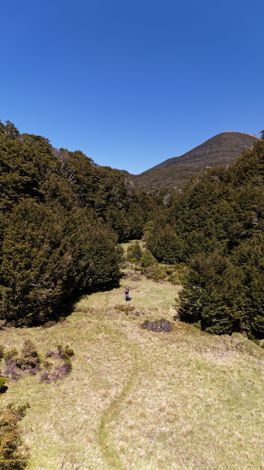
Eventually I make it to some clearing and it looks like it will be going downhill from here on, at least for a while
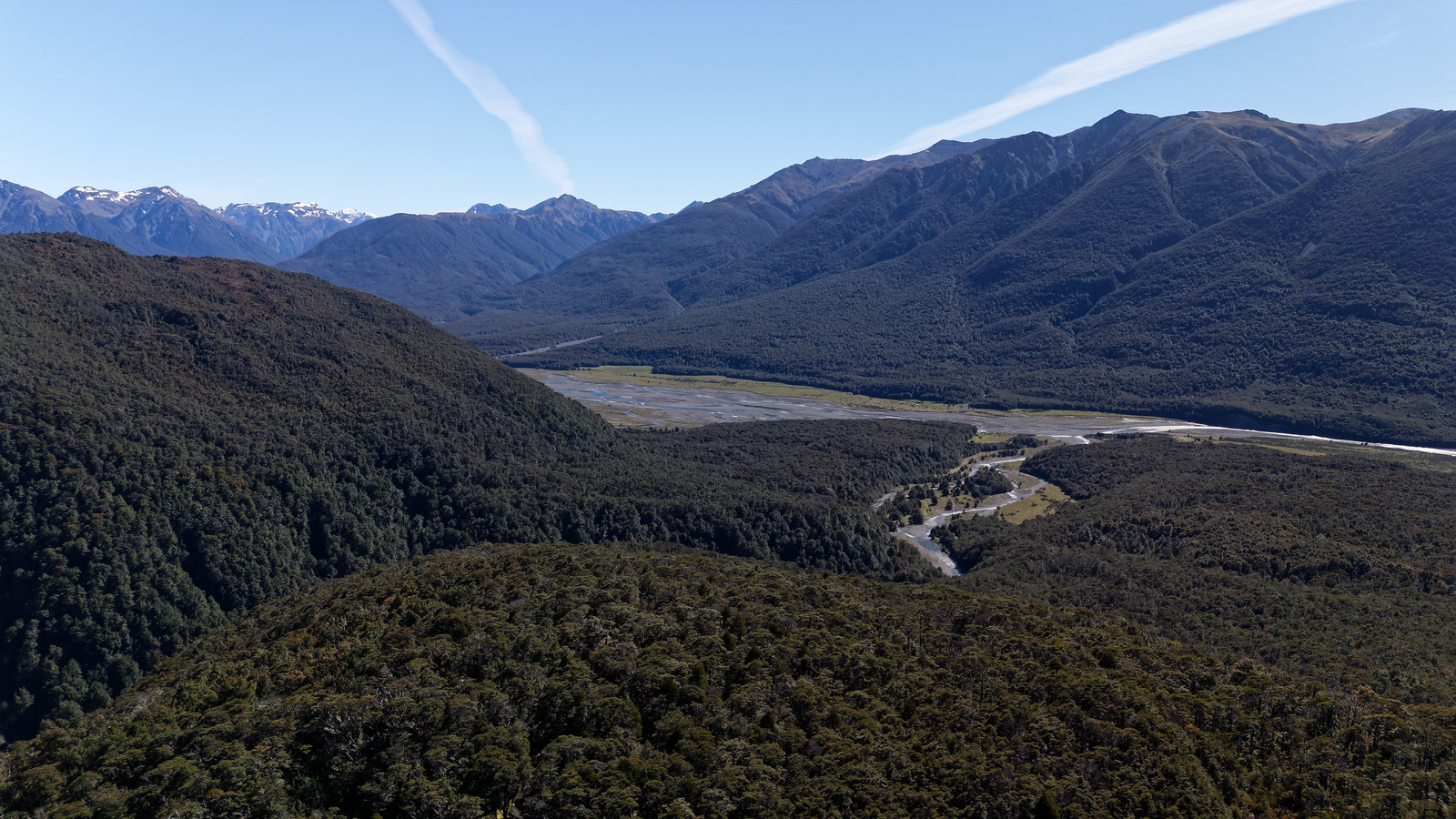
Drone photo looking back. Casey Hut should be just to the right of where the Casey Stream (flowing downhill) meets the Poulter River
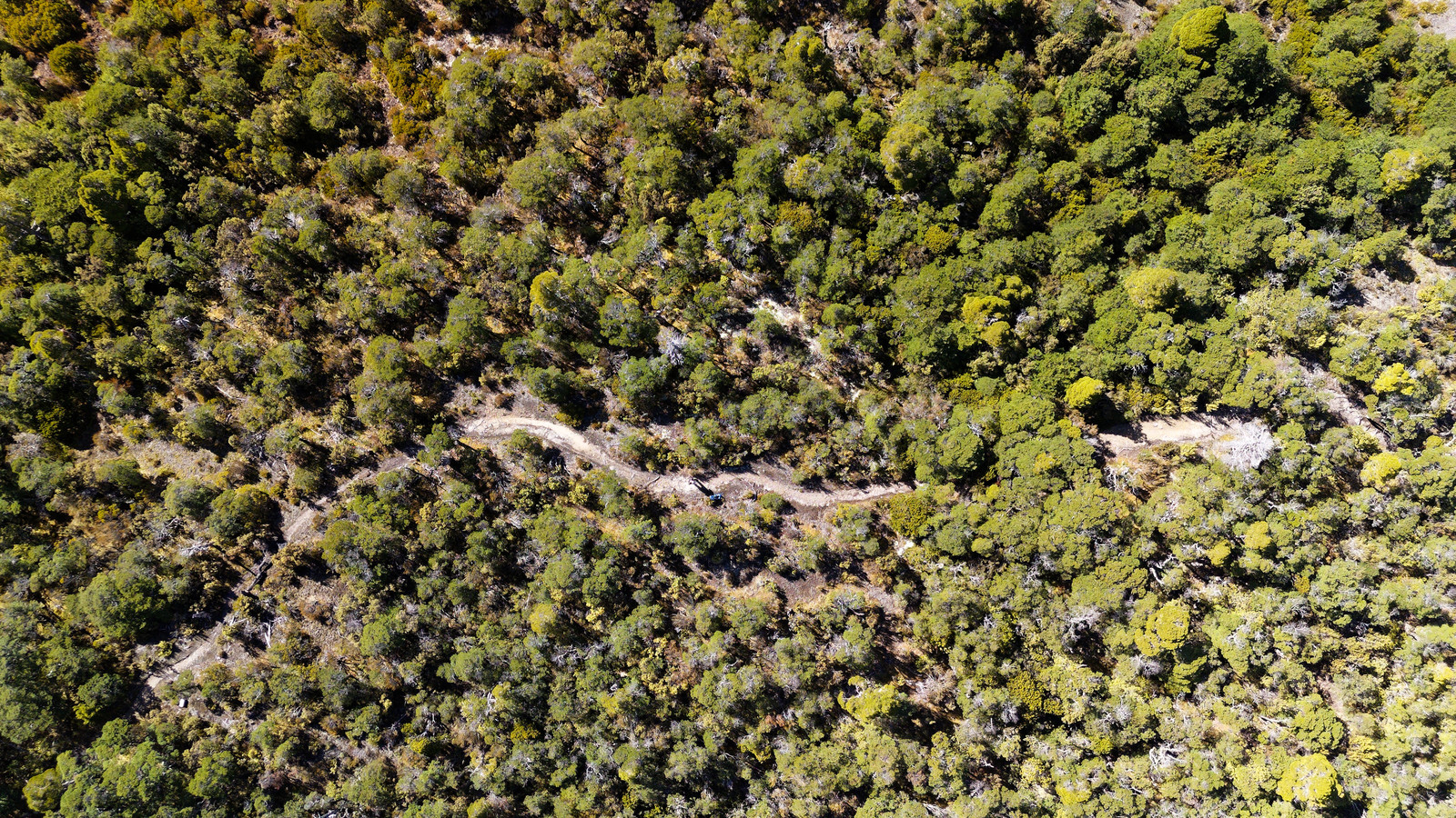
Drone right above me looking down
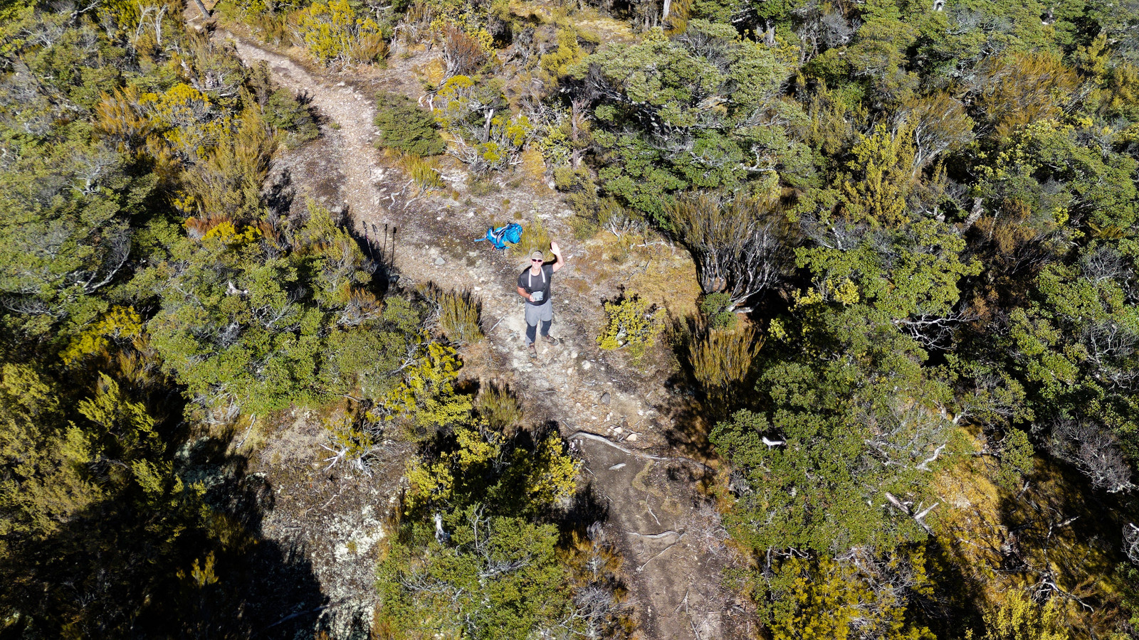
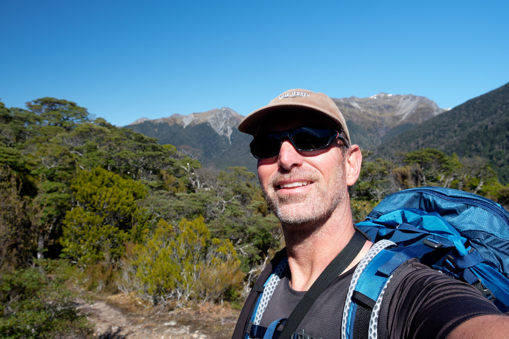
Hi!
A welcome easy bit
And I continue
Approaching Casey Saddle
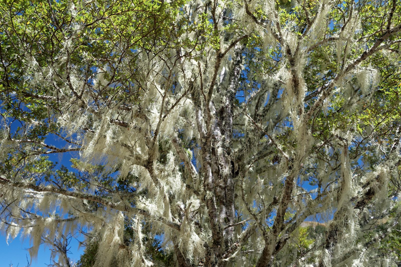
Lots of this stuff on the trees again, I forgot if this is ‘Old Man’s Beard’ or not
Brown Hill
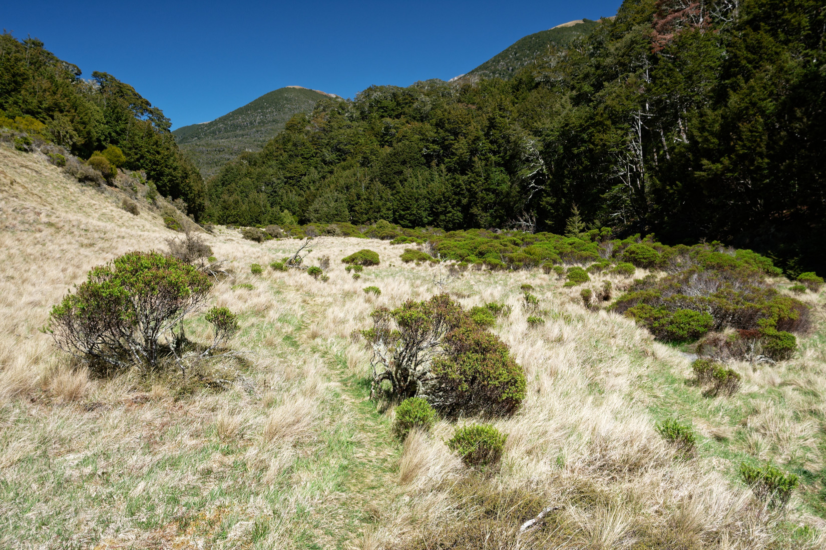
Hallelujah Flat
Hi Again
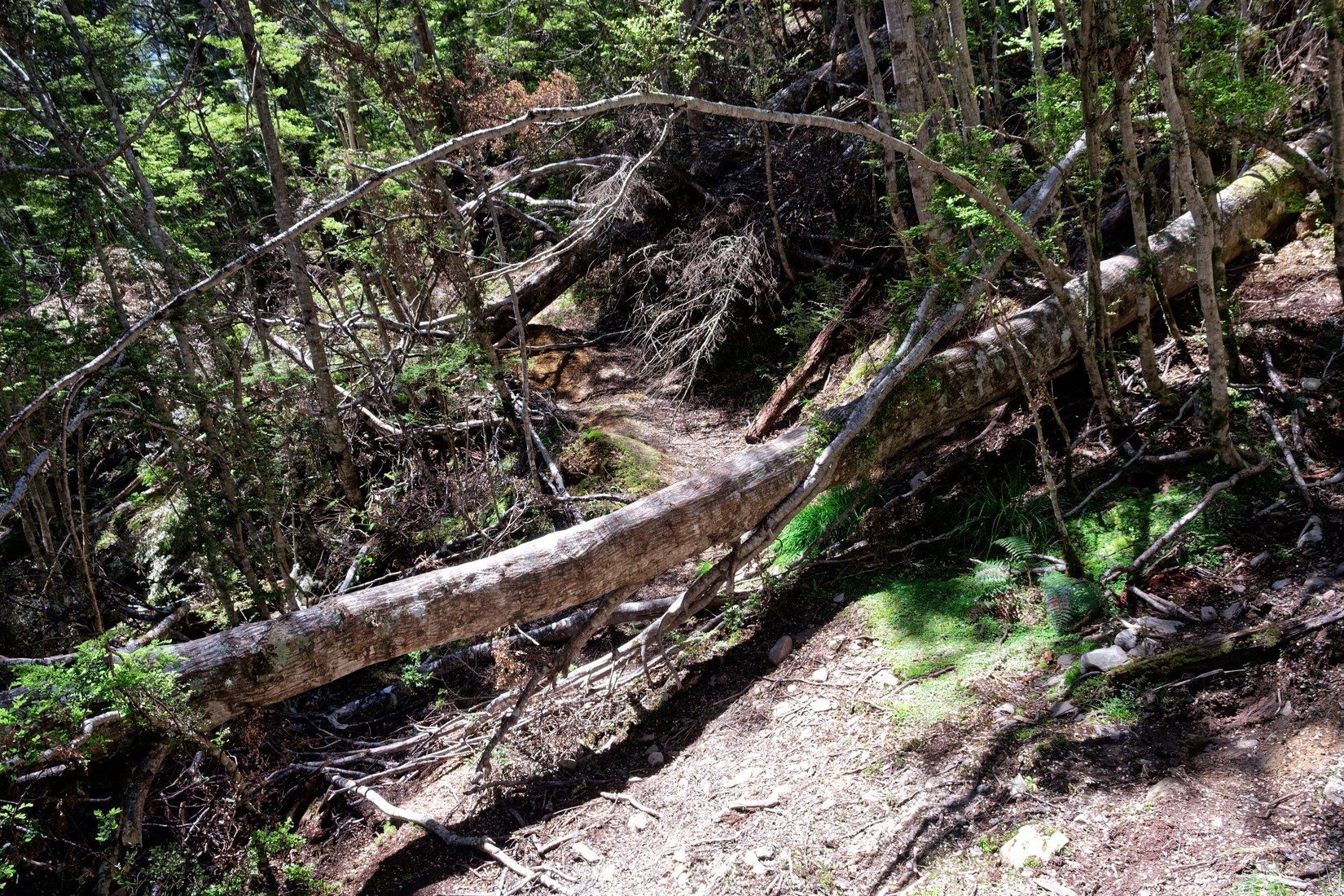
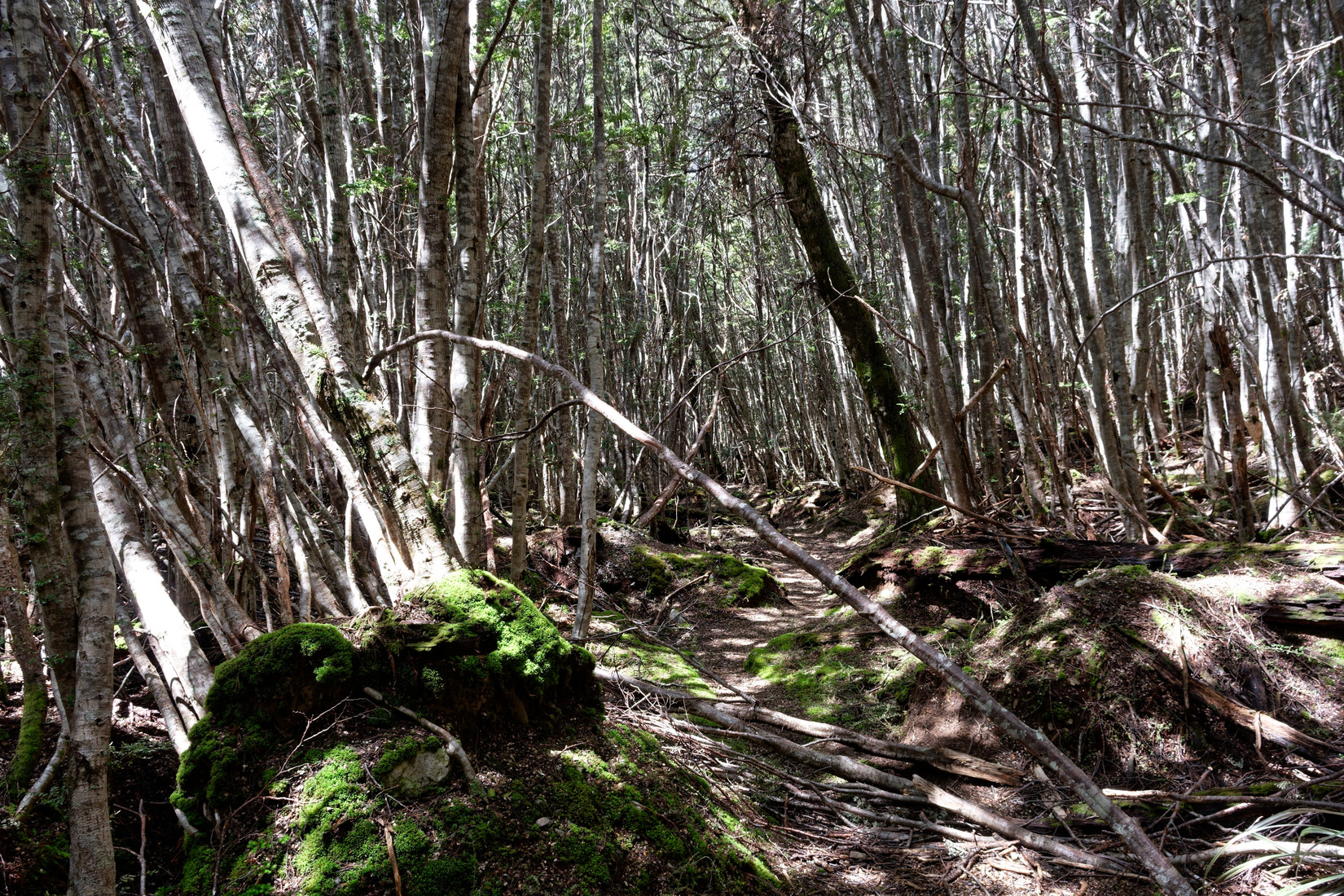
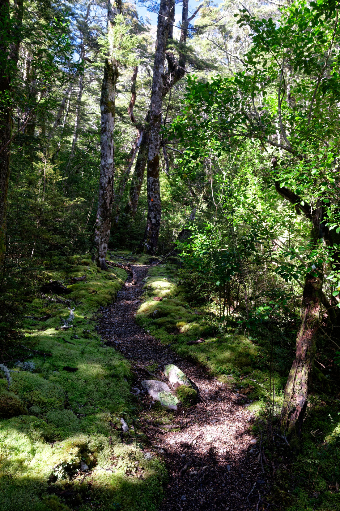
A lot of the track is blocked by fallen trees, at least in the photo it’s clear where the track continues but often you simply have no idea and just have to see if you can find the track again
After another last and intense climb I finally see the Waimak again, that means I’m getting close to the end. I can’t wait to get to the car, I’m exhausted and know there’s food and something to drink in my car!
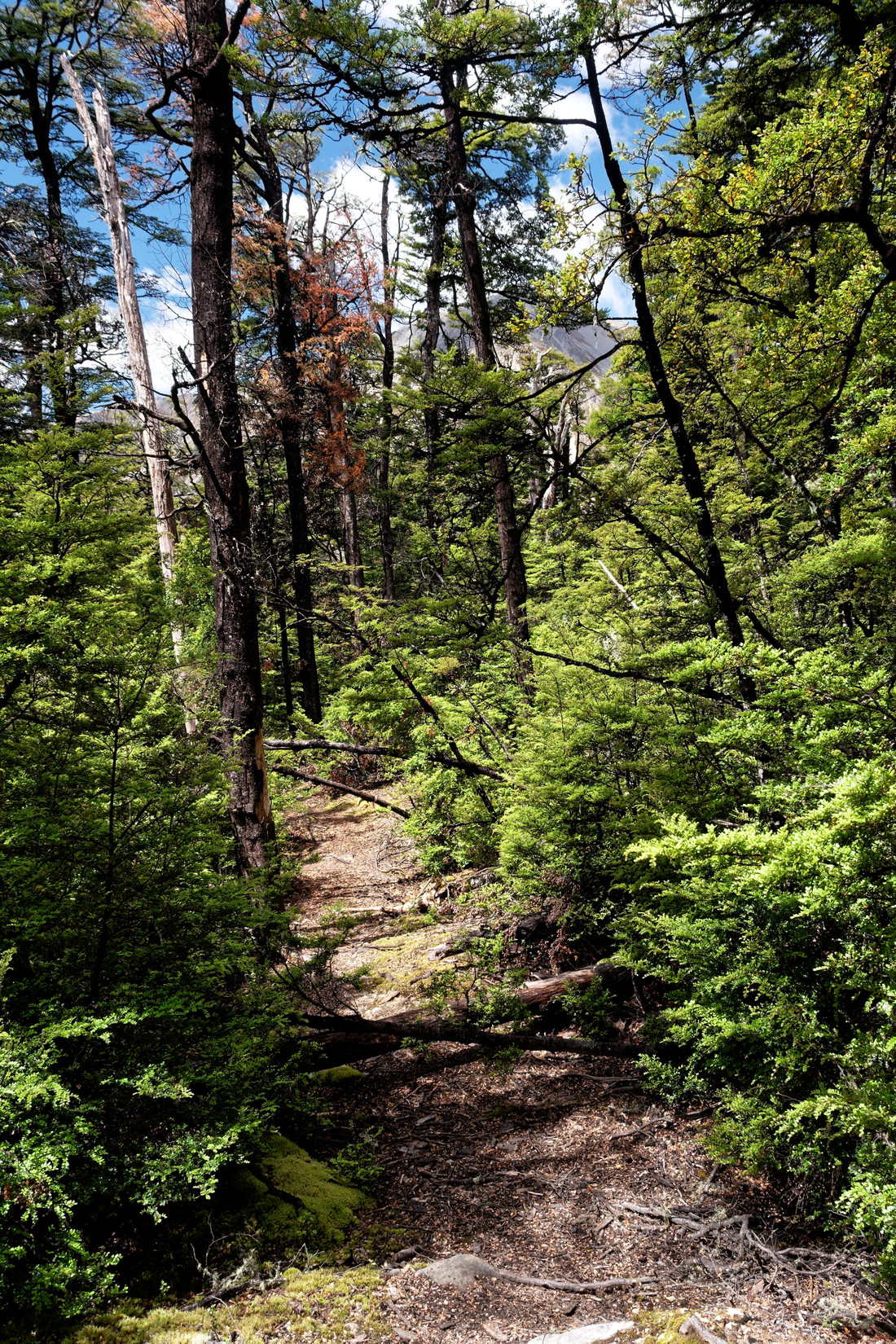
Another 20 minutes or so through forest like this
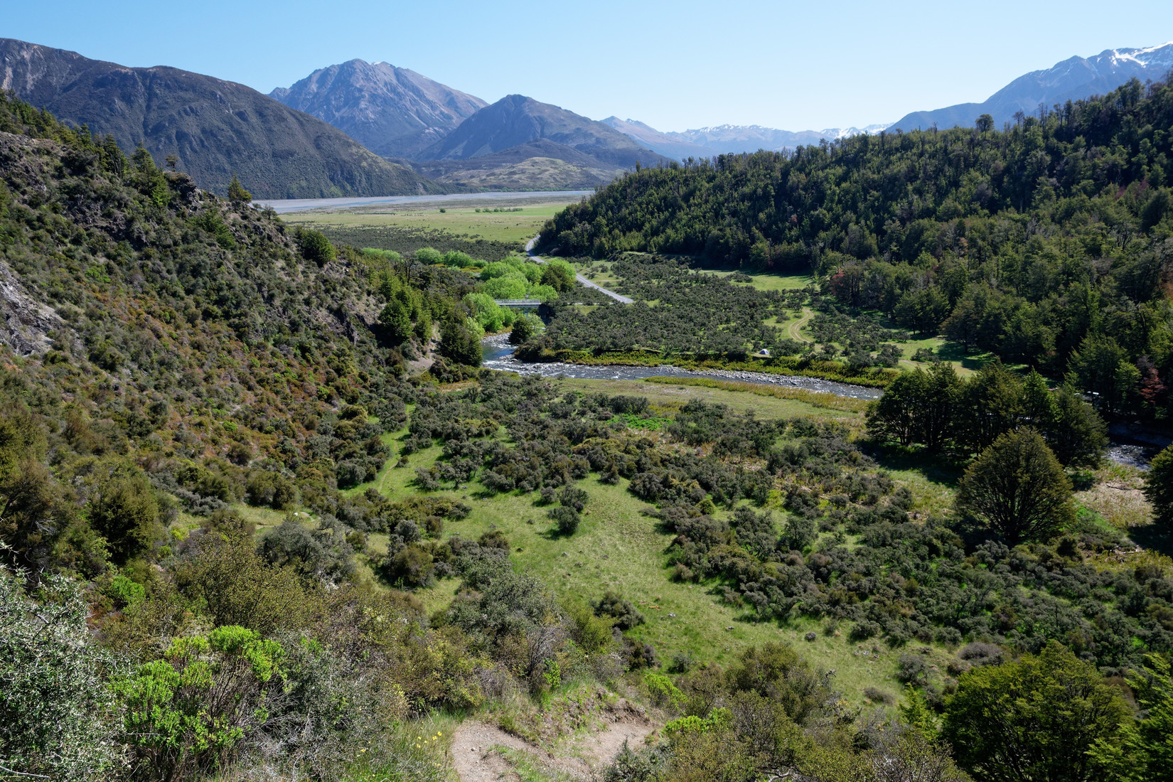
And here I am as good as back at the car (just to the left of the bridge). It was an exhausting 40km hike, but in the end it’s always worth it!
A little video of today
That does look very steep so the grassy flat would have been like paradise. Some lovely landscape there. Pity the hut was so full.