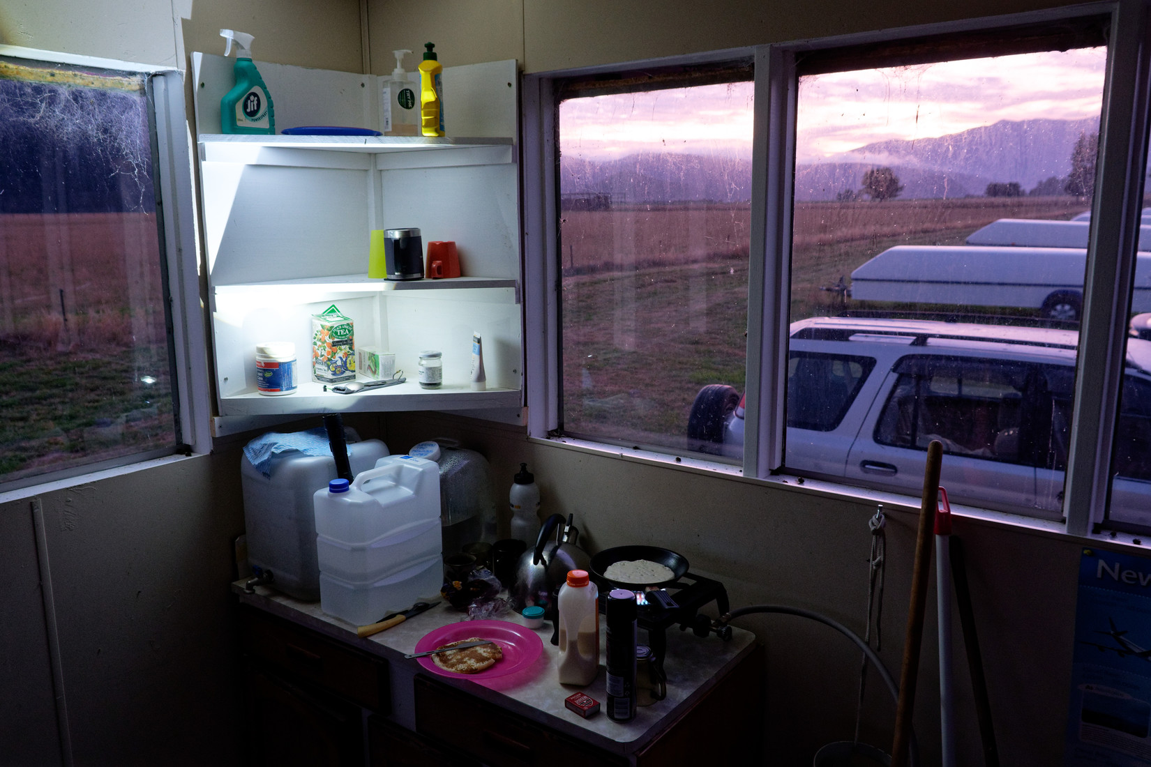
Last day here at Lake Station, I start the early morning with a proper breakfast: pancakes!
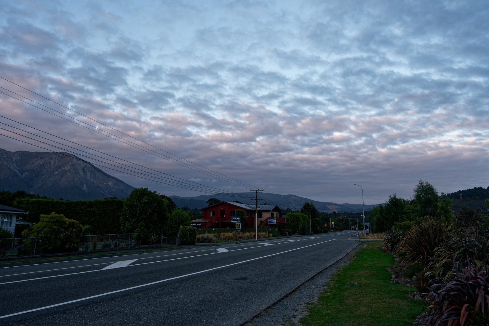
Then it’s off to St Arnaud where we’ll be leaving with 2 cars to go down the Rainbow Road and look at – and maintain – some landout sites
Like here, this is a landout site (for those not in the know: a potential place to land a glider if unable to make it back to the airfield) and we cut down some of the shrubbery to prevent a ground loop if we’d ever land here. Details of this landout site: L744 “Hamilton”, description: “Land between the two power lines. Level. Some scrub. Not an active strip – SOS only”
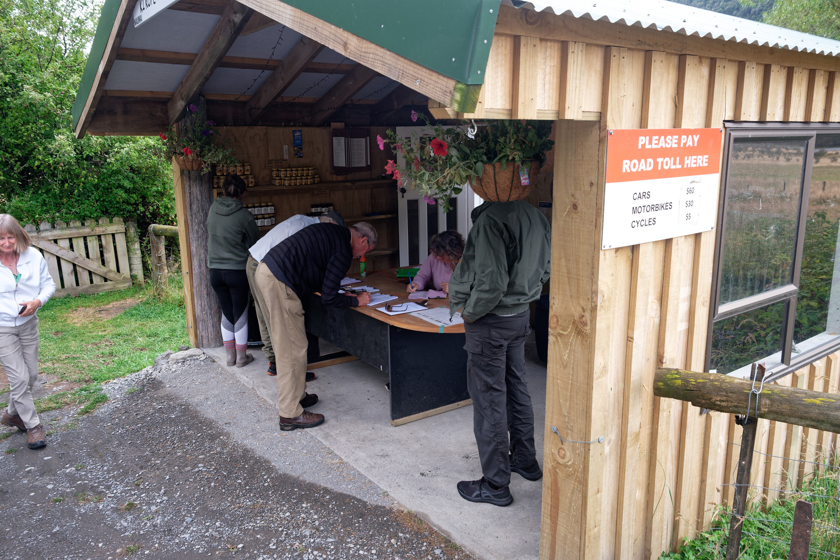
We continue south and then get to the start of the actual Rainbow Road, a ‘private’ road that is being used as an ordinary money grab by the owners, $60 to drive your car through here. It used to be $40 but in recent years and – I assume – to keep up with the inflation (of say 5%) they have increased the price by 50%. Nuts!
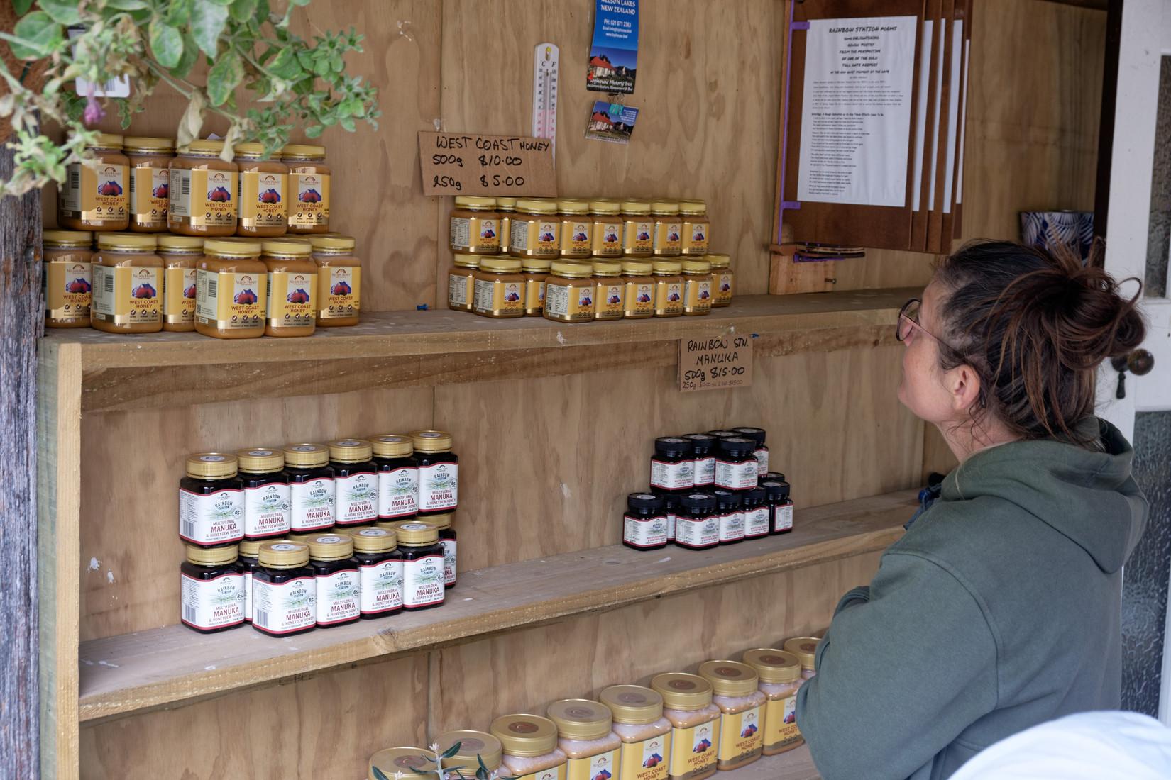
Even Rainbow Station honey is 50% more expensive than for example West Coast honey
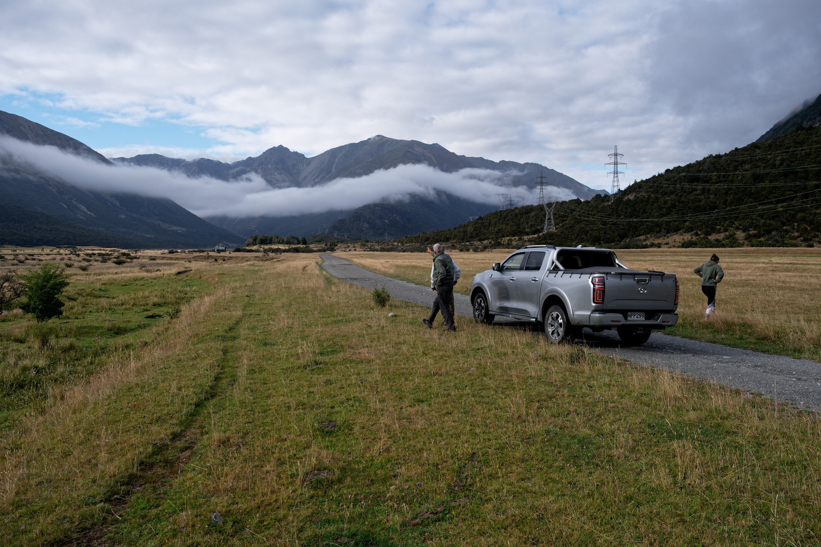
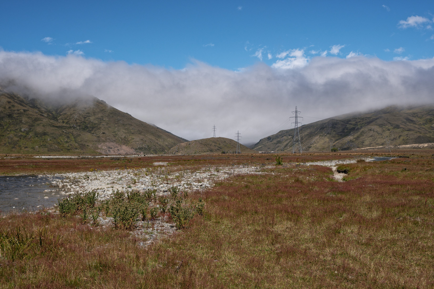
The next landout site we stop and have a look at, just to the right of the road here
It’s L627 “Rainbow”, description: “Just W of road & river. High tension lines. 3% uphill to S”
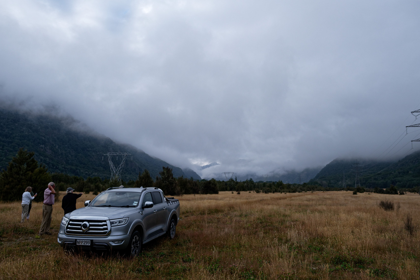
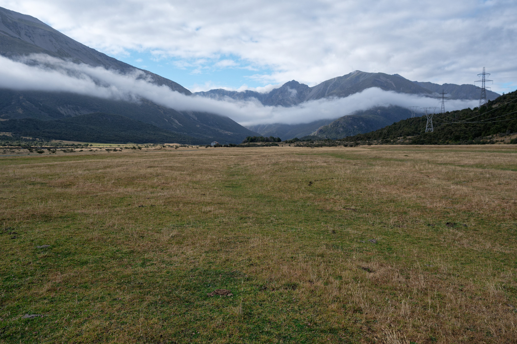
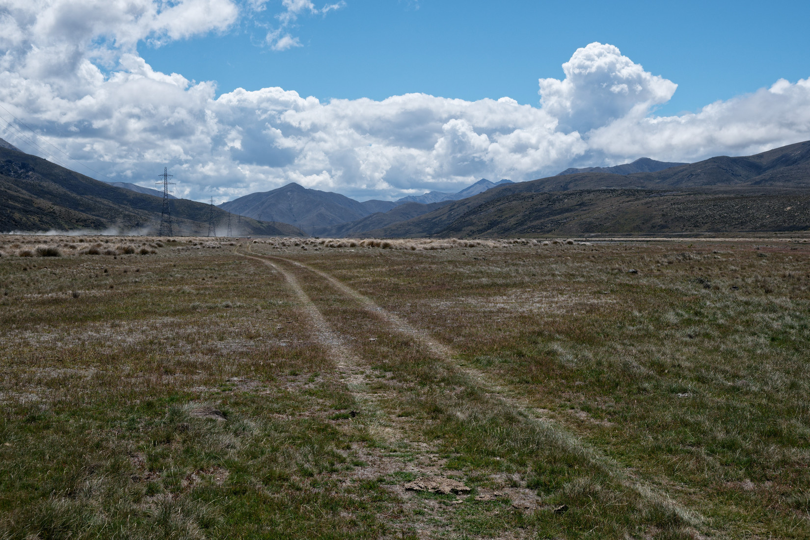
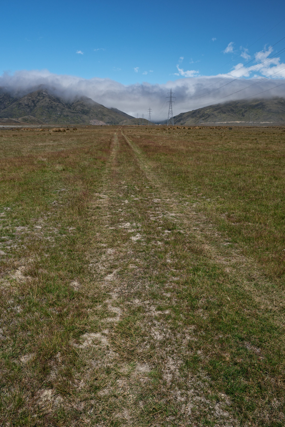
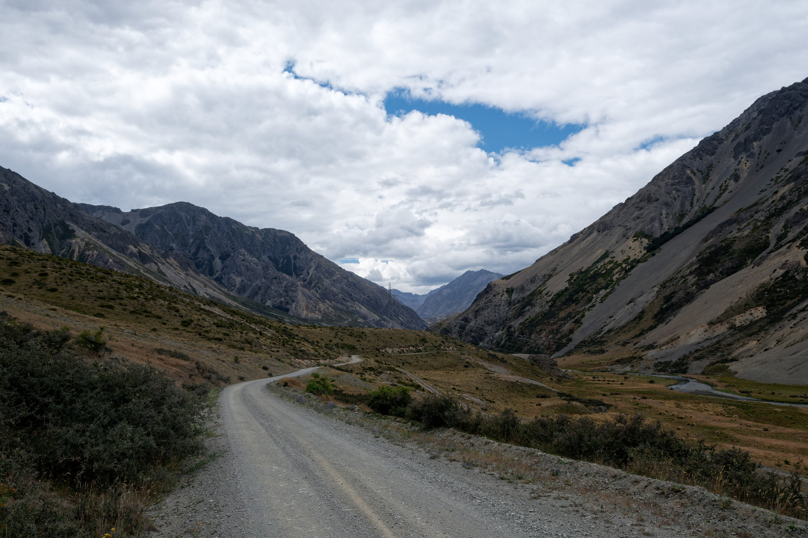
We continue our trip, still lots of low clouds in the valley
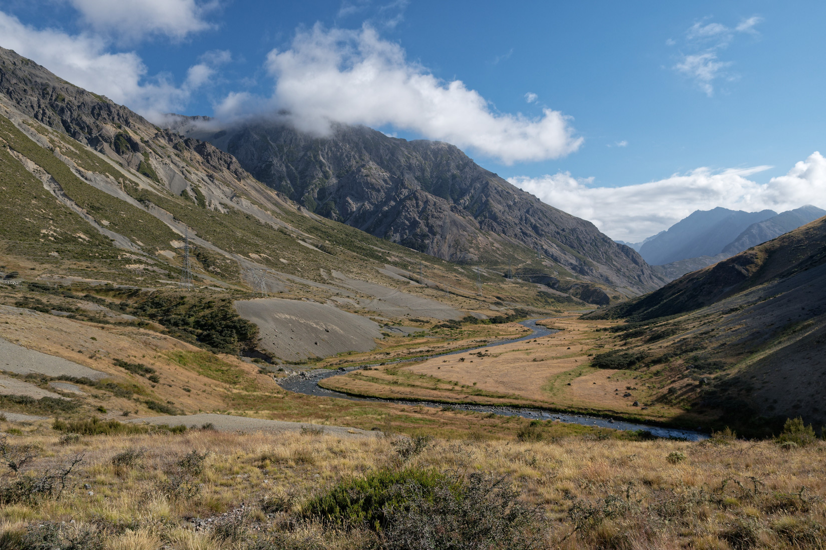
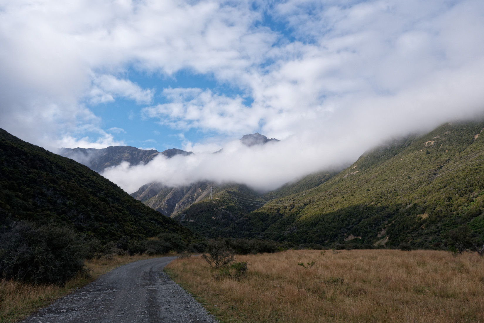
Lovely views, this is looking back in the direction we came from
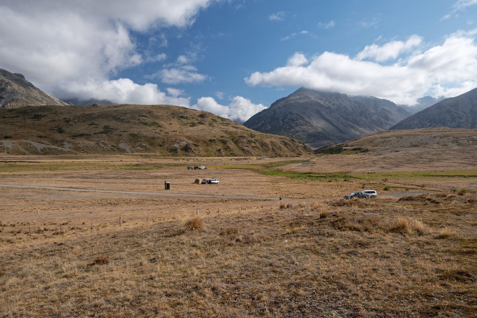
Nice spot for some camping
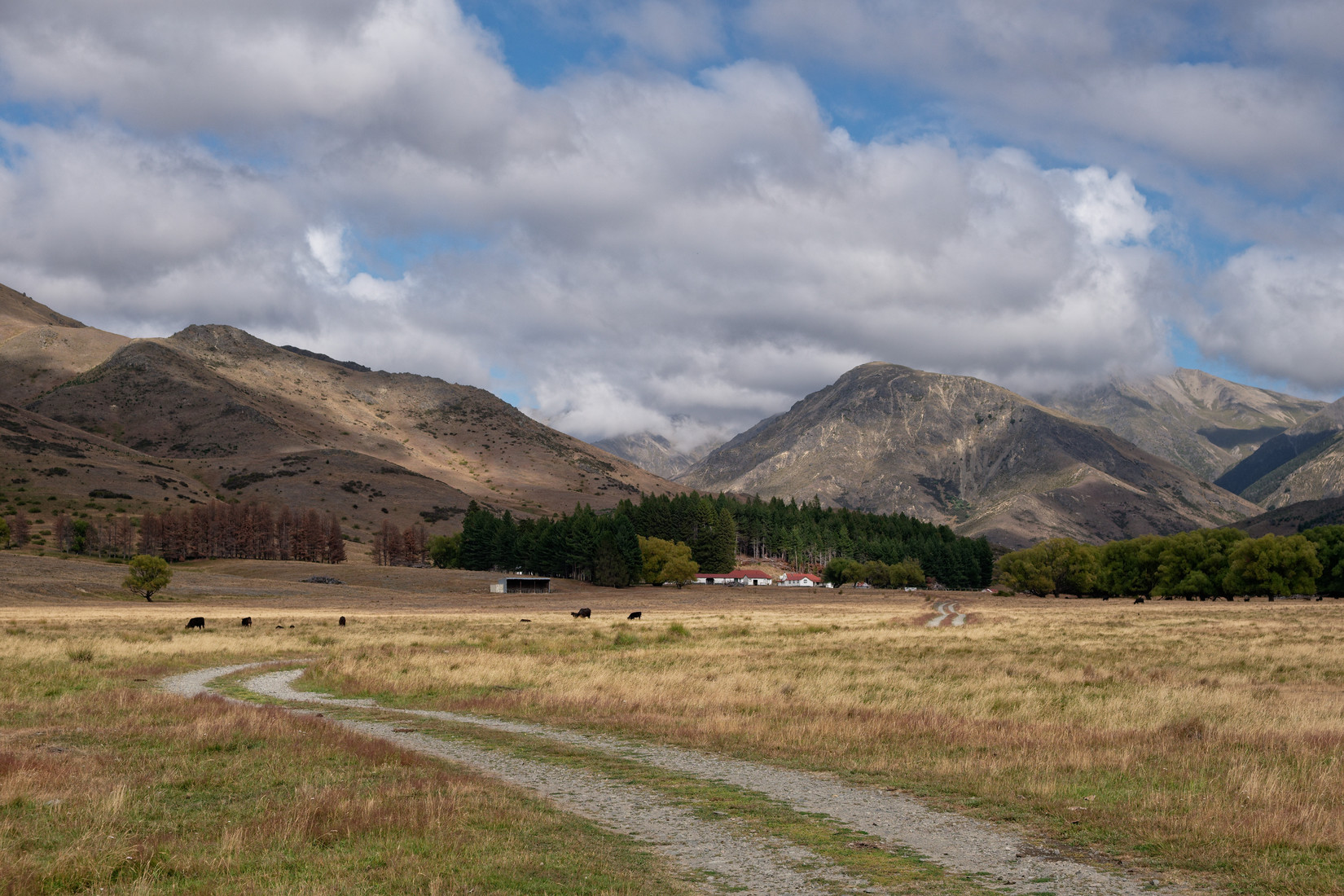
The next landout we visit is in this lovely area
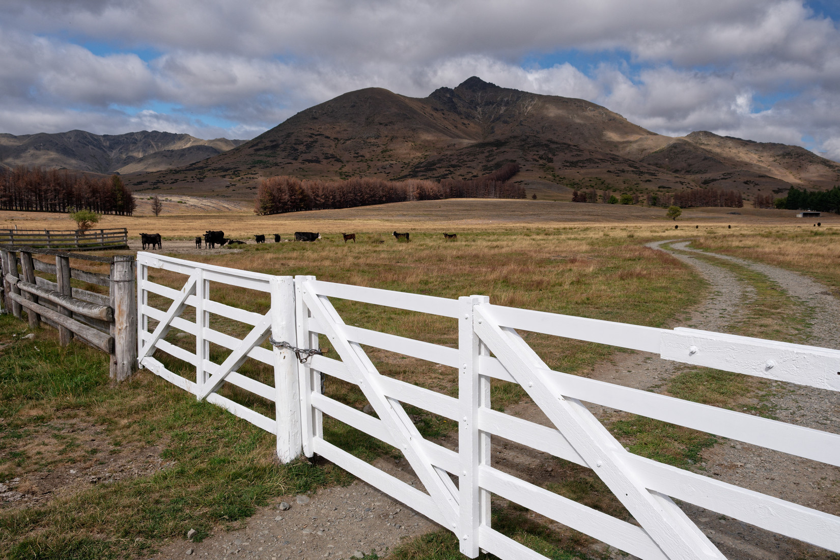
A locked gate, never much fun for a retrieve crew
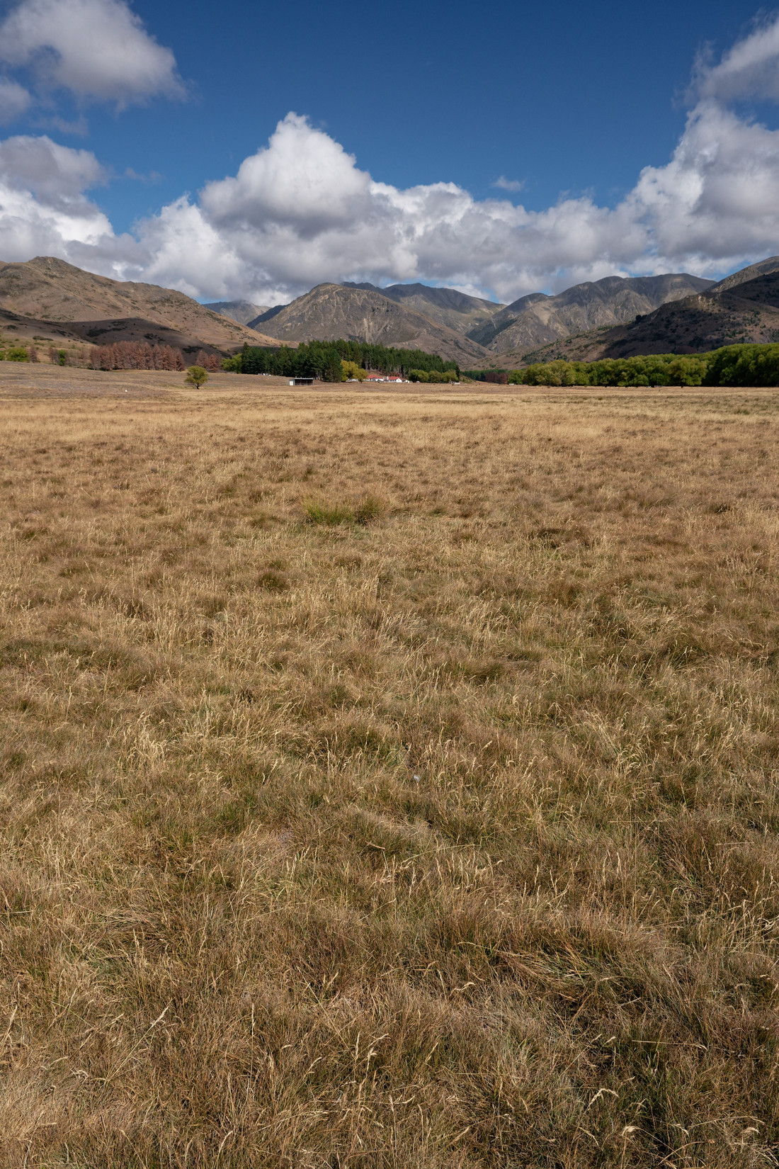
The actual strip: L754 “Tarndale”, description “S side of river, just E of farm buildings”
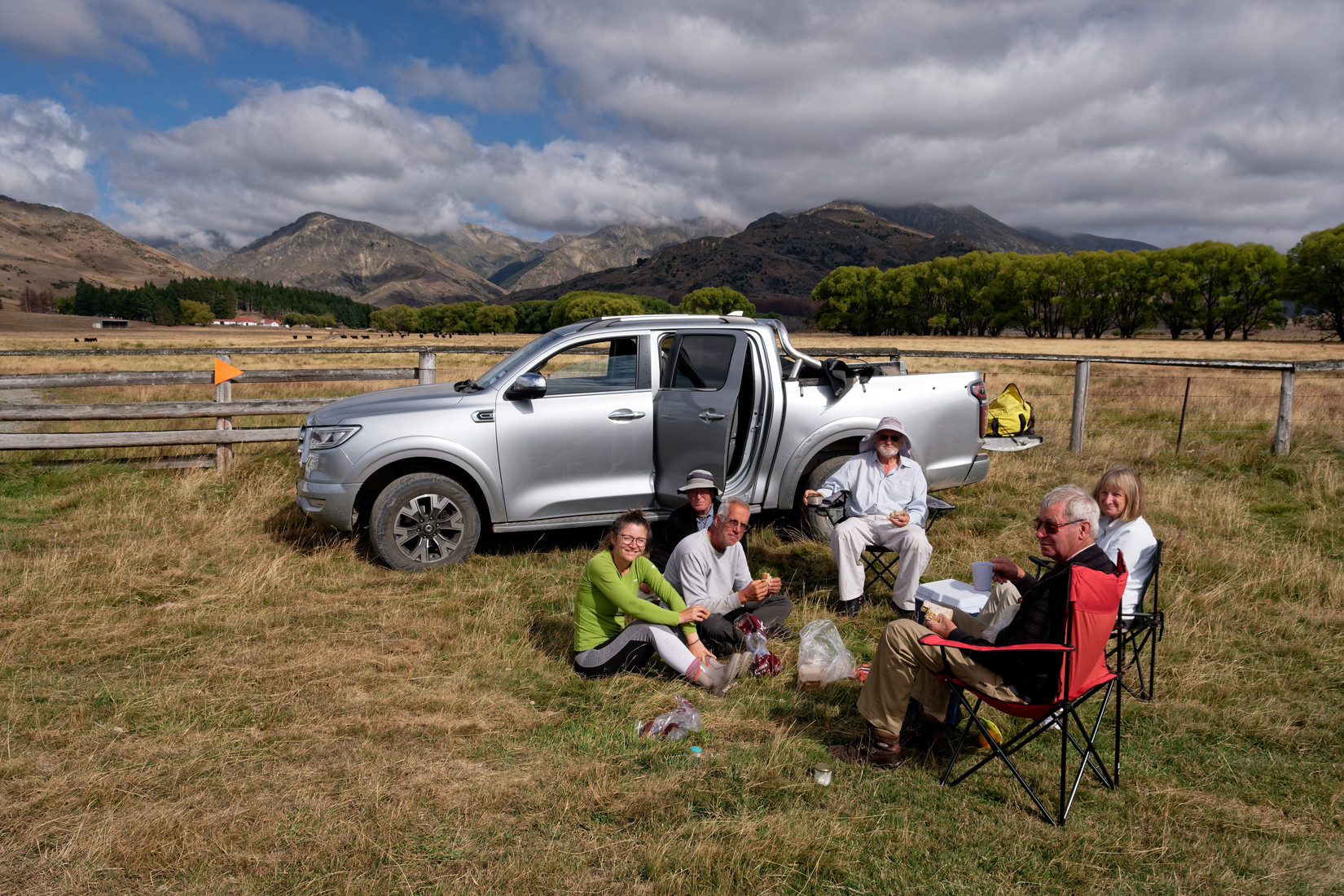
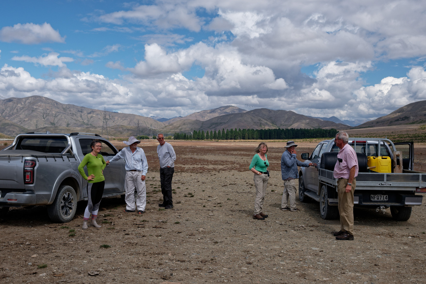
This is also where we have some lunch, from left to right: Annett, Alonzo, Claus, Frank, Chris and Jill
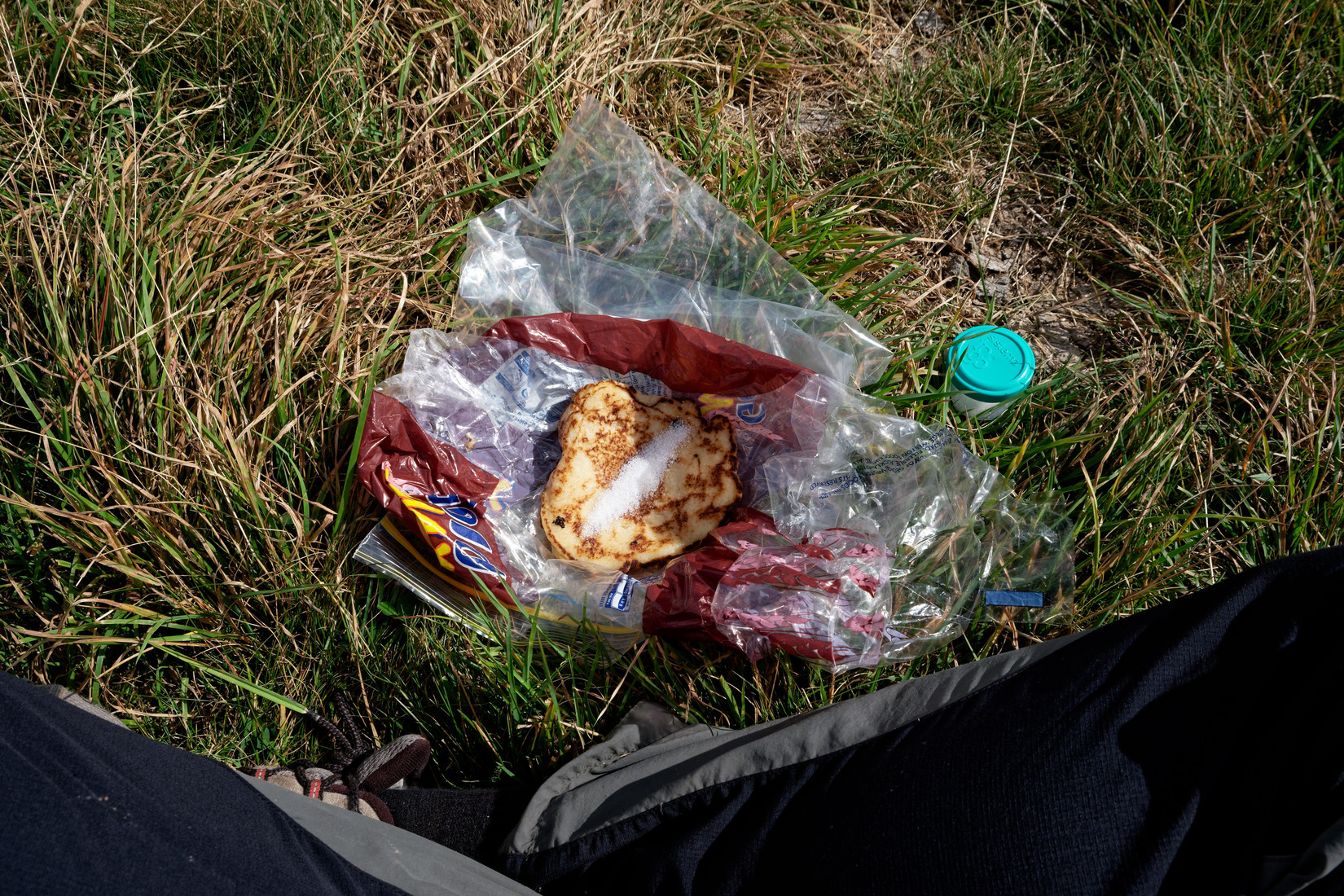
My lunch: more pancakes
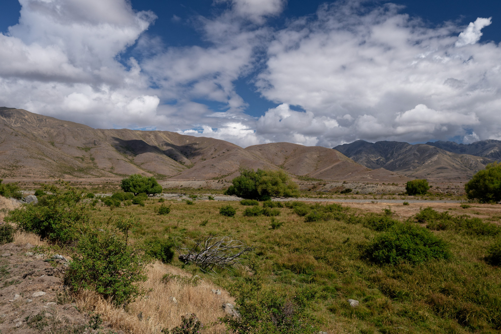
We continue, and what a beautiful day it has become!
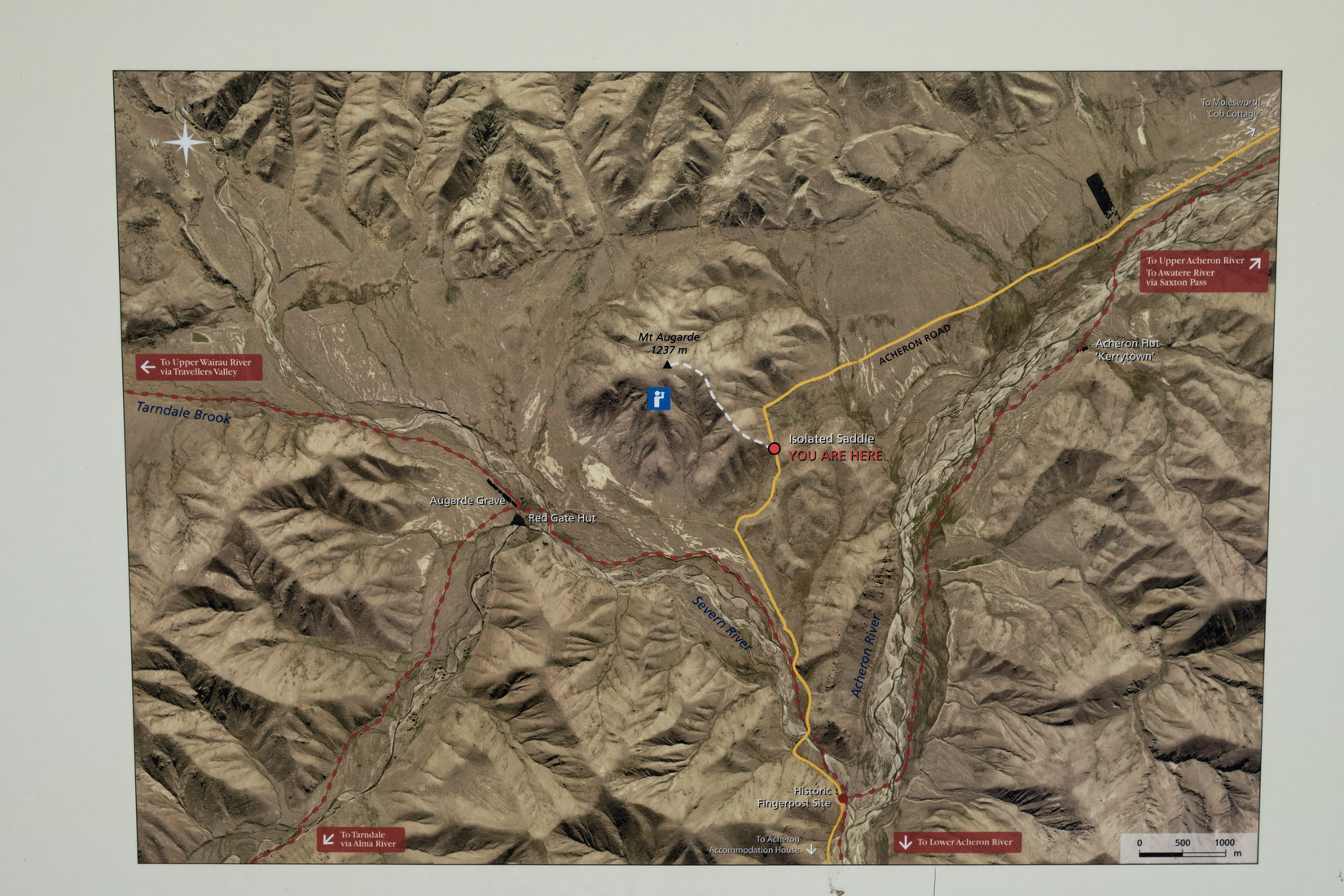
An isolated map
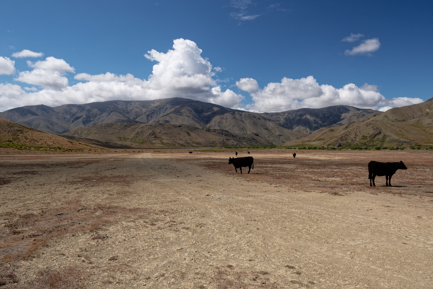
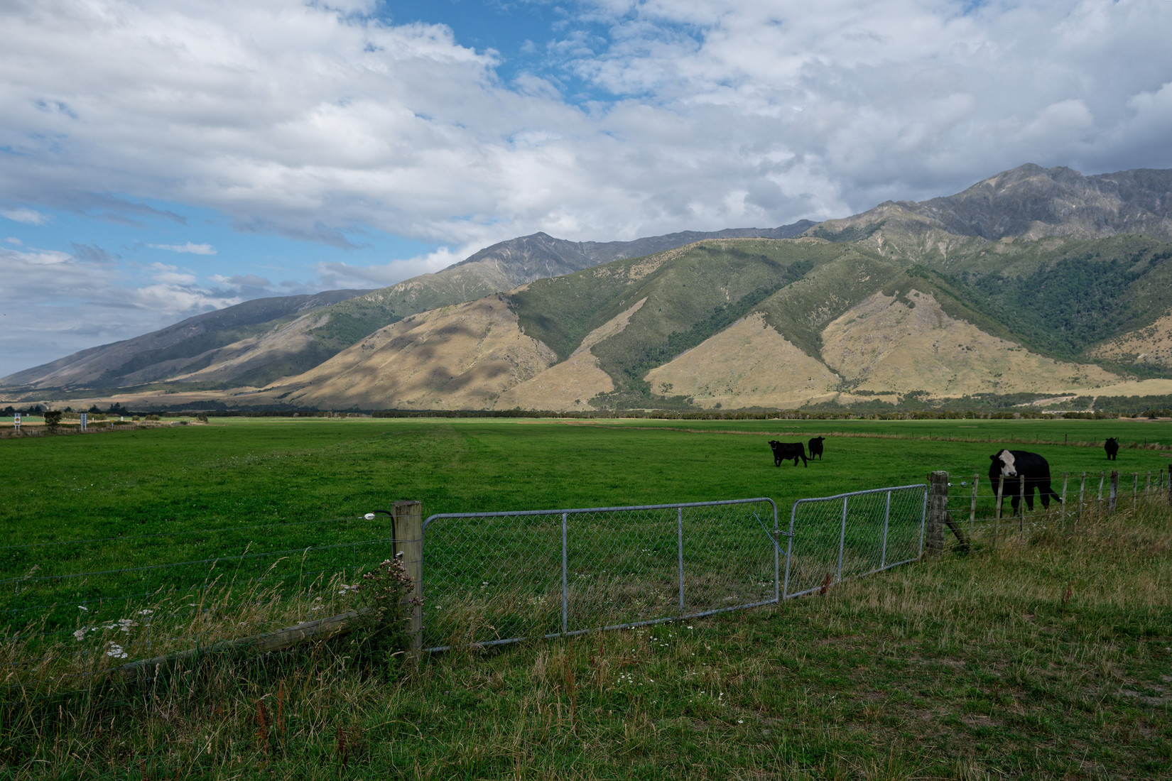
Mooooooh, our next landout site is right here
L758 “Isolation Flat”, description “4km SW of Wards Pass, 1km W of fork in river. Parallel to and on NW side of road. High tension lines on other side of road. Super bin at NE end”
It’s a lot to take in
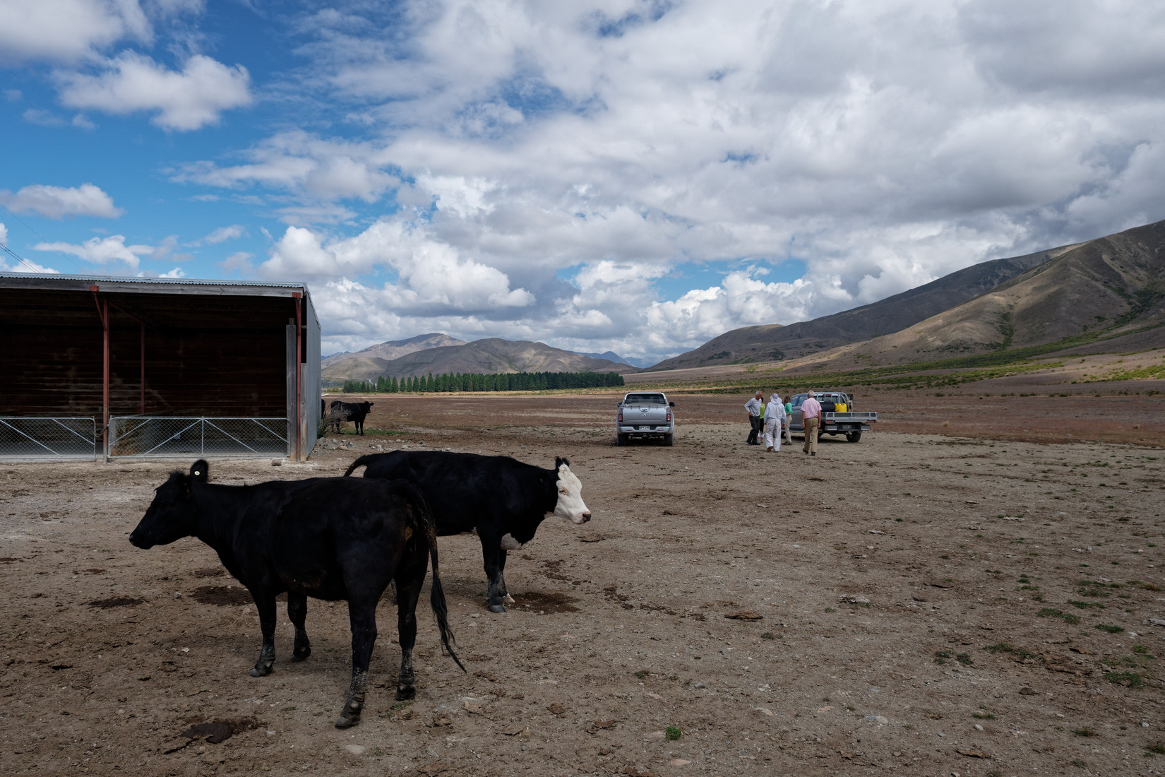
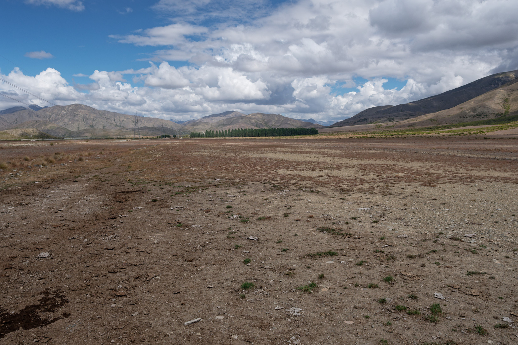
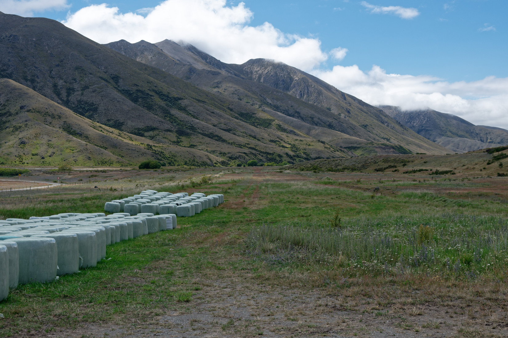
And we’re at the next one: L756 “Red Gate”, description “3/4km NE of fork in river. Shed at NW end”, plenty of space, you just hope that if you’d ever had to land here the cows would not be in the middle of the strip
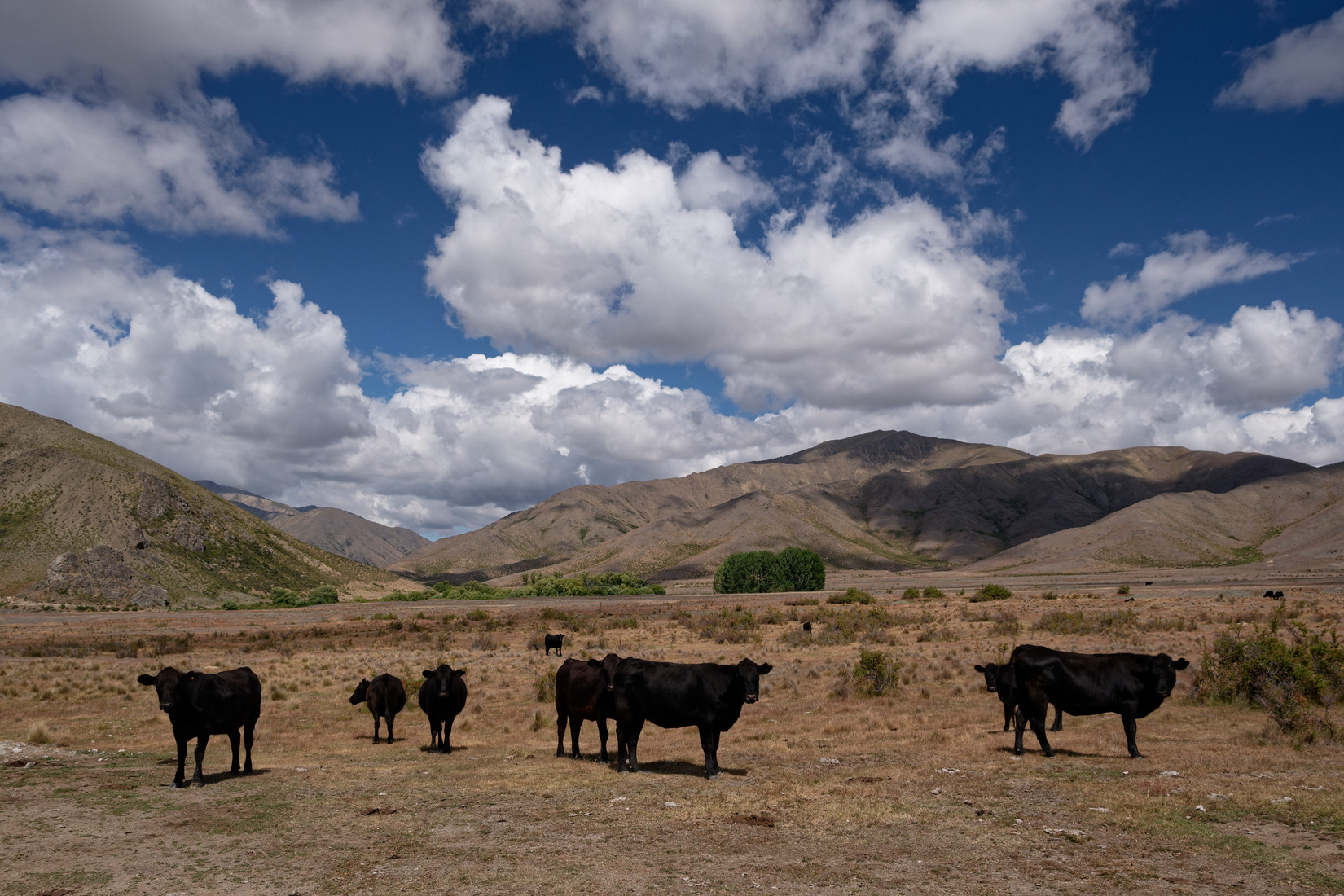
But nice to see them enjoy the beautiful scenery
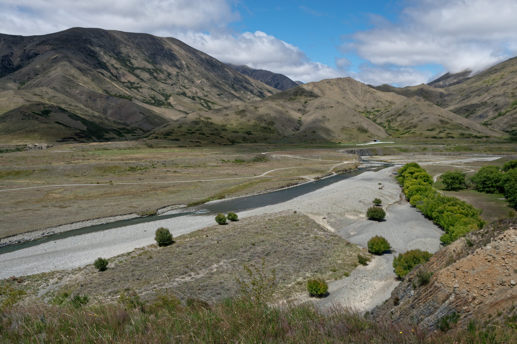
The next one is one the other side of the the Clarence River, you’d arrive from the left (in the photo) and land towards the super bin
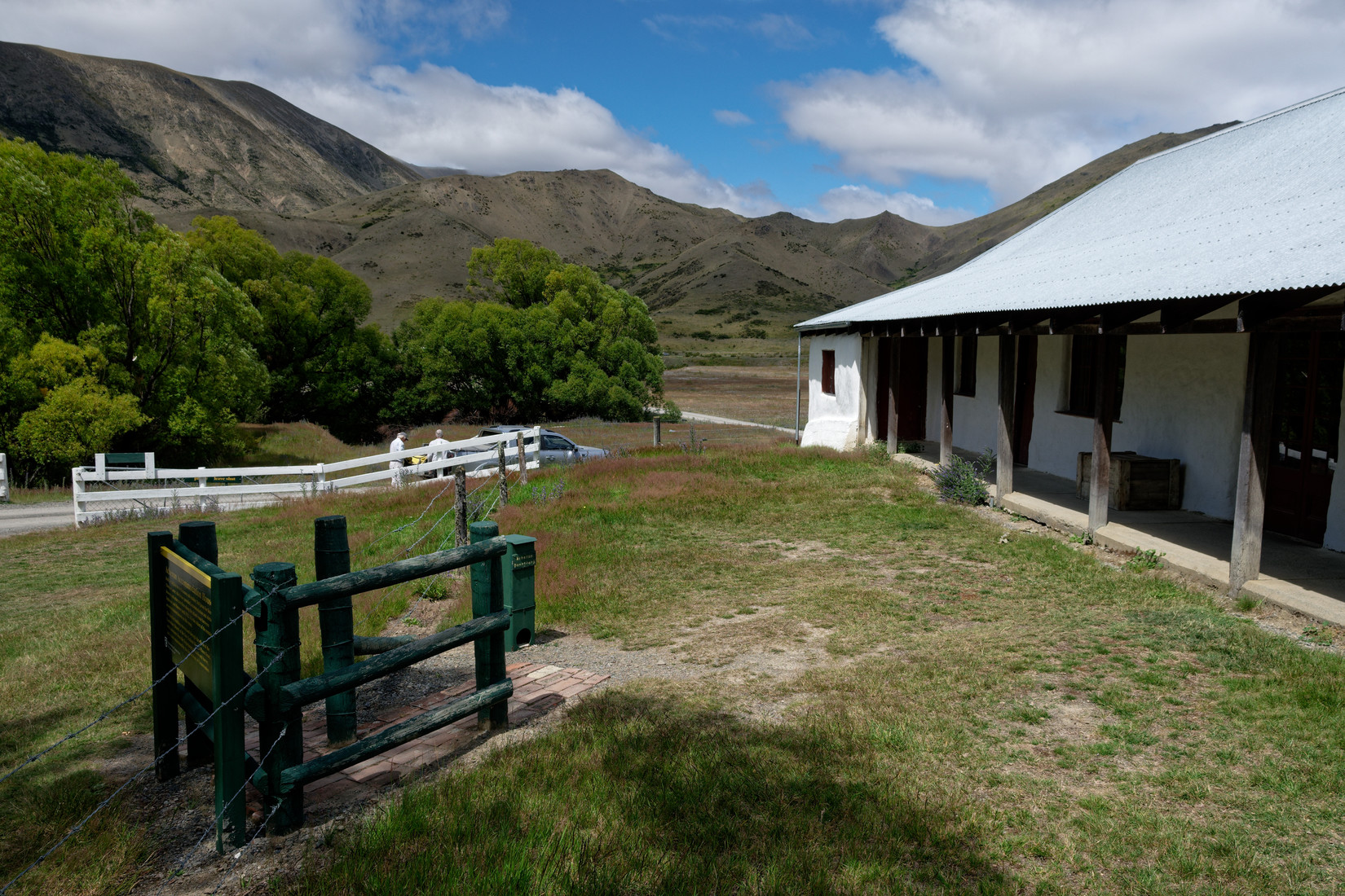
But before we get to the actual strip we stop and have a look at the Acheron Accomodation House
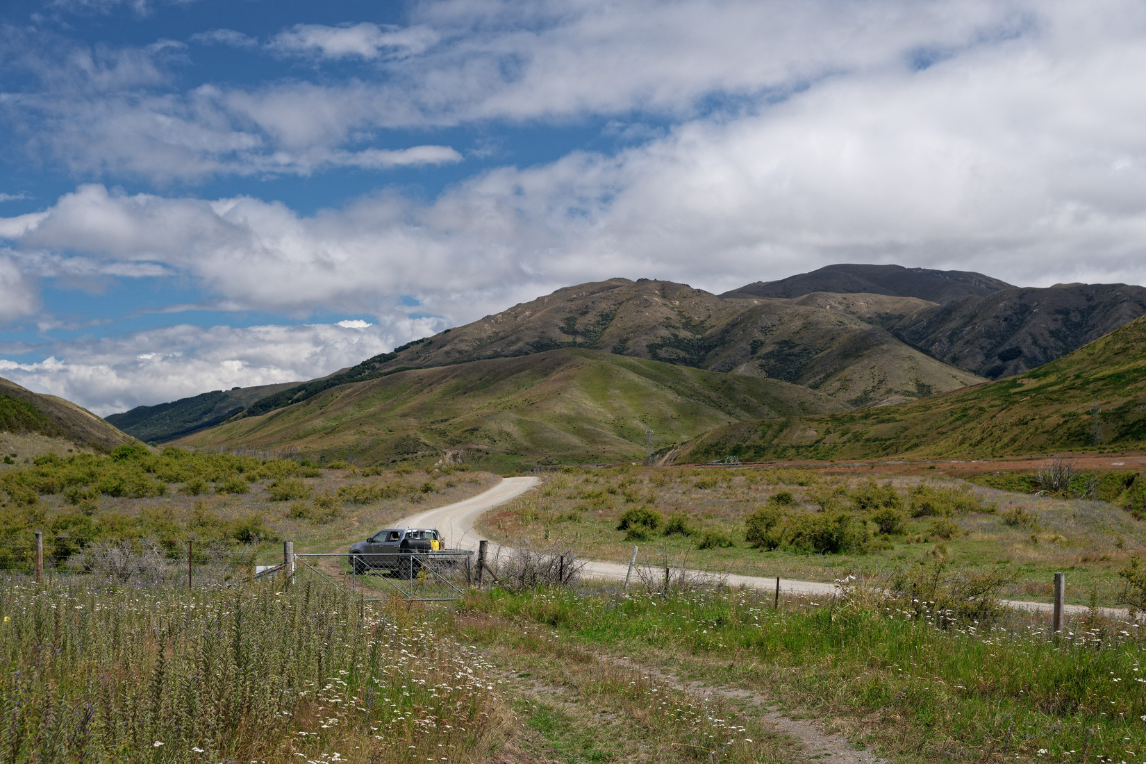
The entrance to the next landout strip
L748 “Acheron House”, description: “1km SW of river junction, on S side of river near bridge & buildings”
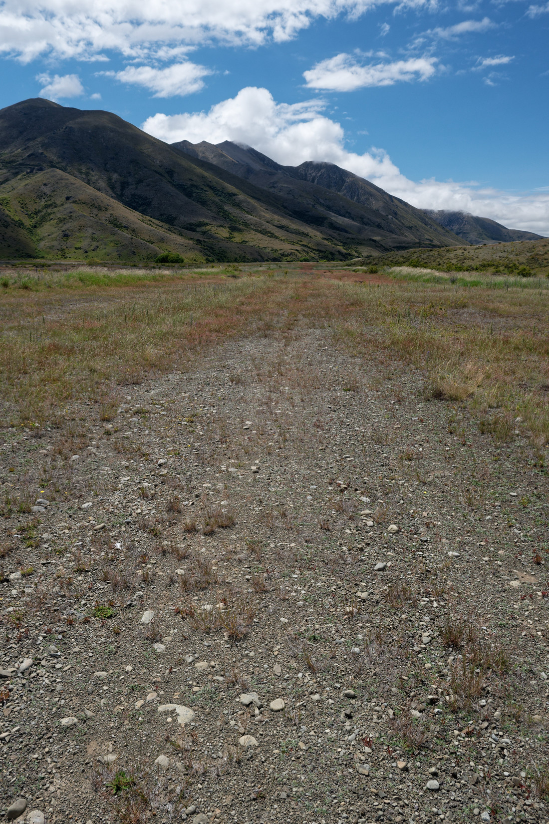
Looking ENE, similar to previous photo but further up the strip
At the far end of the previous photo, looking back WSW, should be ok to land a glider here
We are on our way back following the Tophouse Road, this is looking back towards Hanmer Springs, awesome to see what a difference some mountains make
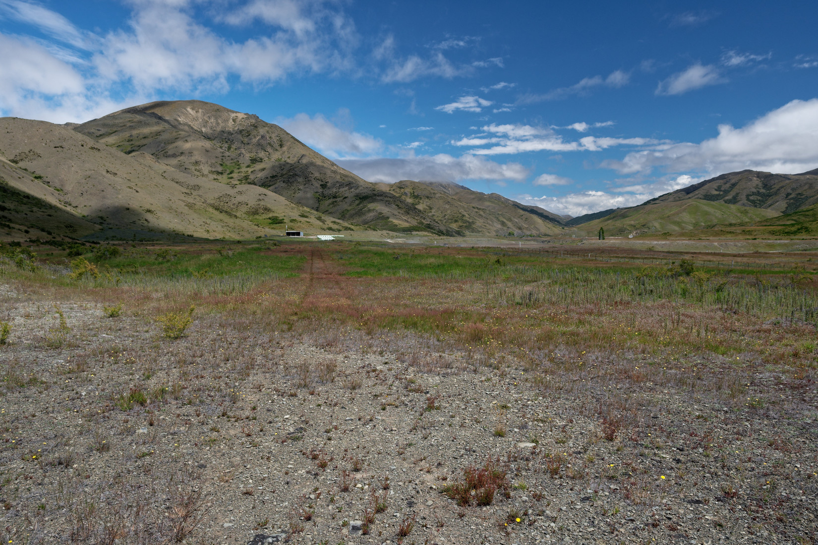
Last landout strip for today, key will be to avoid the power lines!
L751 “Clarence Top”, description: “20km S of L Tennyson. On W side of river, E of road and high tension lines. Super bin at N end”
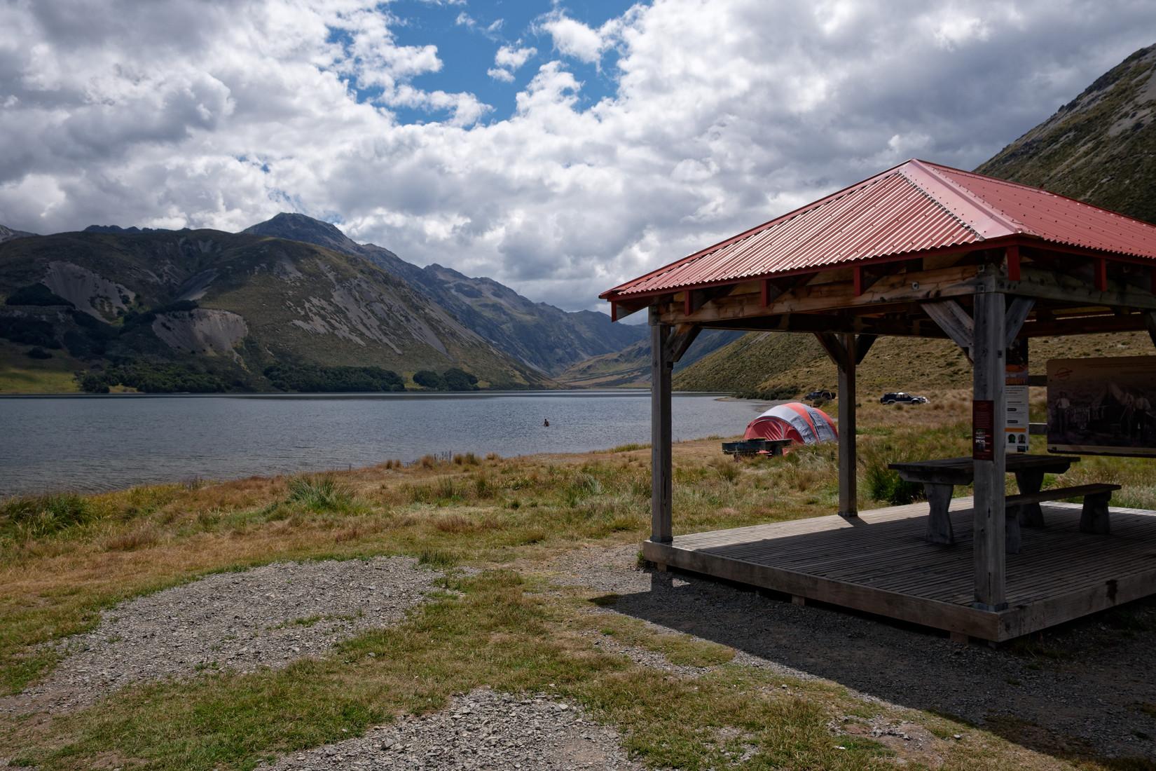
We have another break at Lake Tennyson
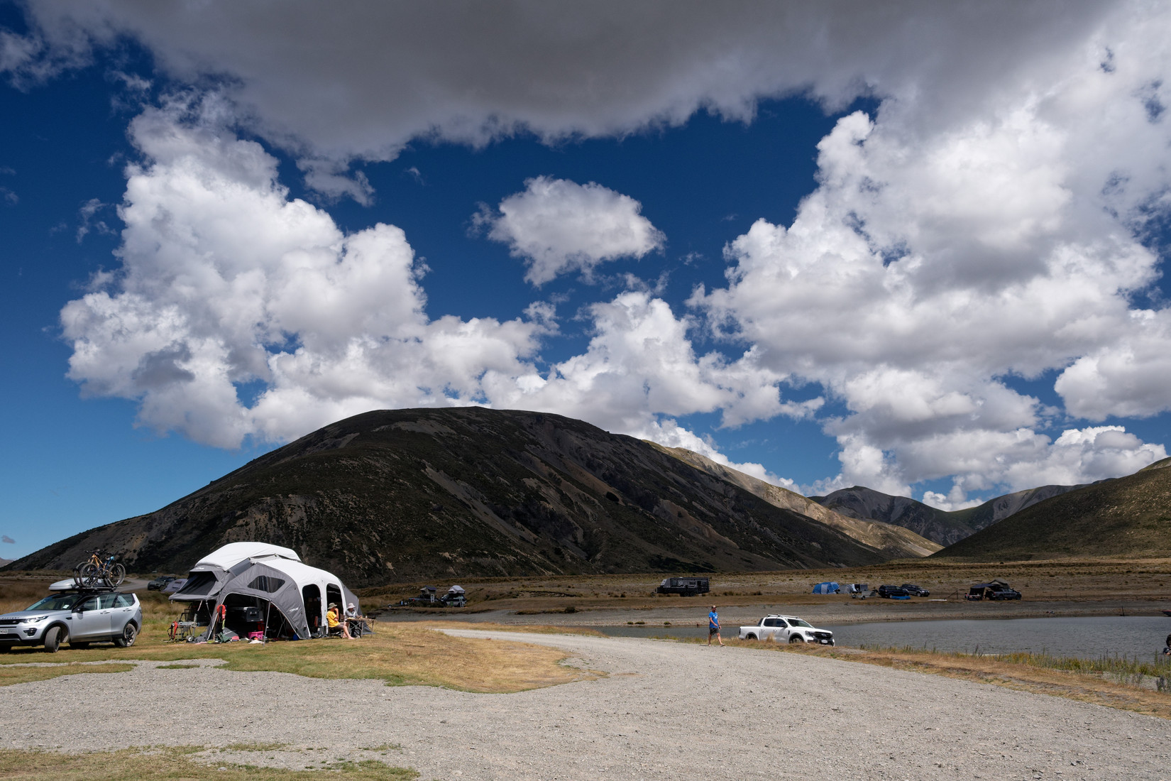
Lots of people enjoying the lovely weather here
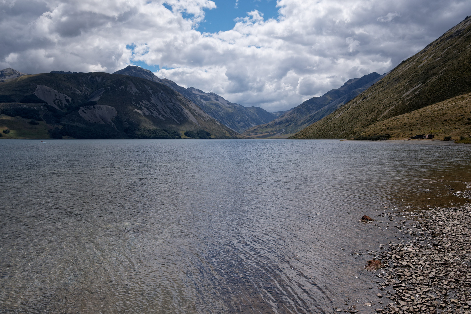
Lake Tennyson
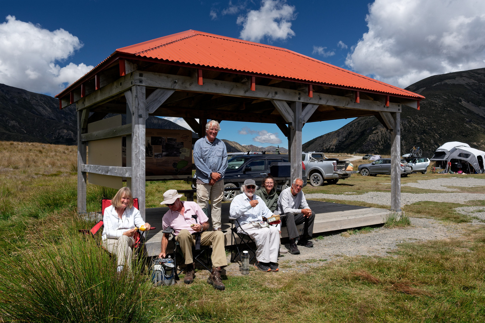
Jill, Chris, Alonzo, Frank, Annett, Claus
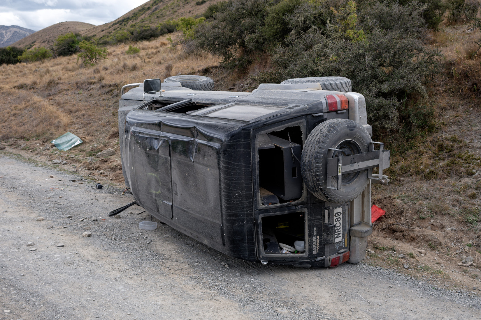
On our way back we see a car that had an accident a while (months by the looks of it) ago, nothing left inside of value, except – surprisingly – for 2 cans of food that are still ok to use, I save the cans
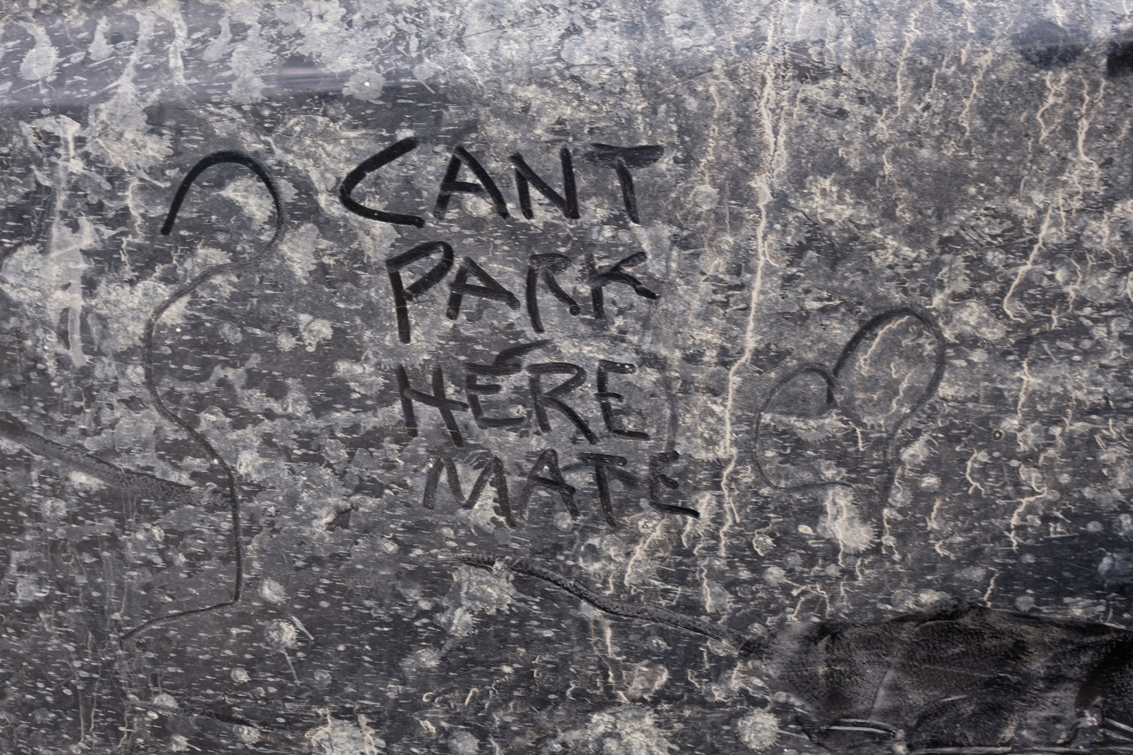
“Can’t park here mate”. Hahaha, LOL. Look it up on youtube if you feel like a laugh
Bye bye Rainbow Road
Very last landout strip for the day: L709 “Bulls Pad”, description “S side of main road, immediately E of T junction. Super burn at W end. Undulating, so stay on strip”
Thanks for these photos Edwin. They are great!
You’re welcome. I hope you can use them yourselves as well and that you guys like the maps I made.