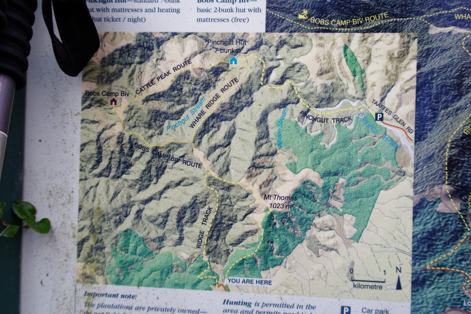
This weekend I decided to hike to the Pinchgut Hut via a clockwise track, I started yesterday morning at the Wooded Fully Campsite (the ‘YOU ARE HERE’ sign)
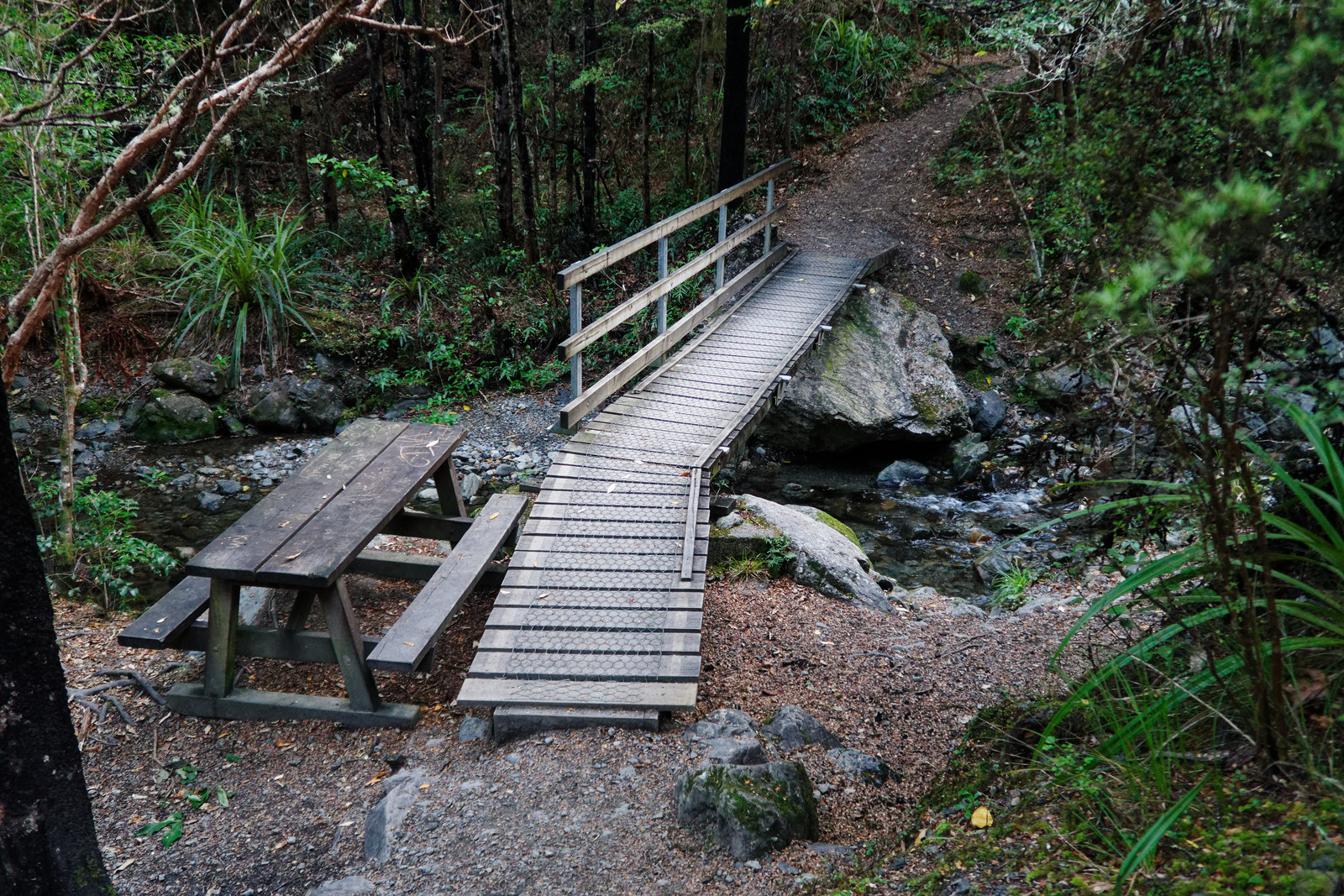
A stream to cross and also nice place to have a picnic had the sun been shining
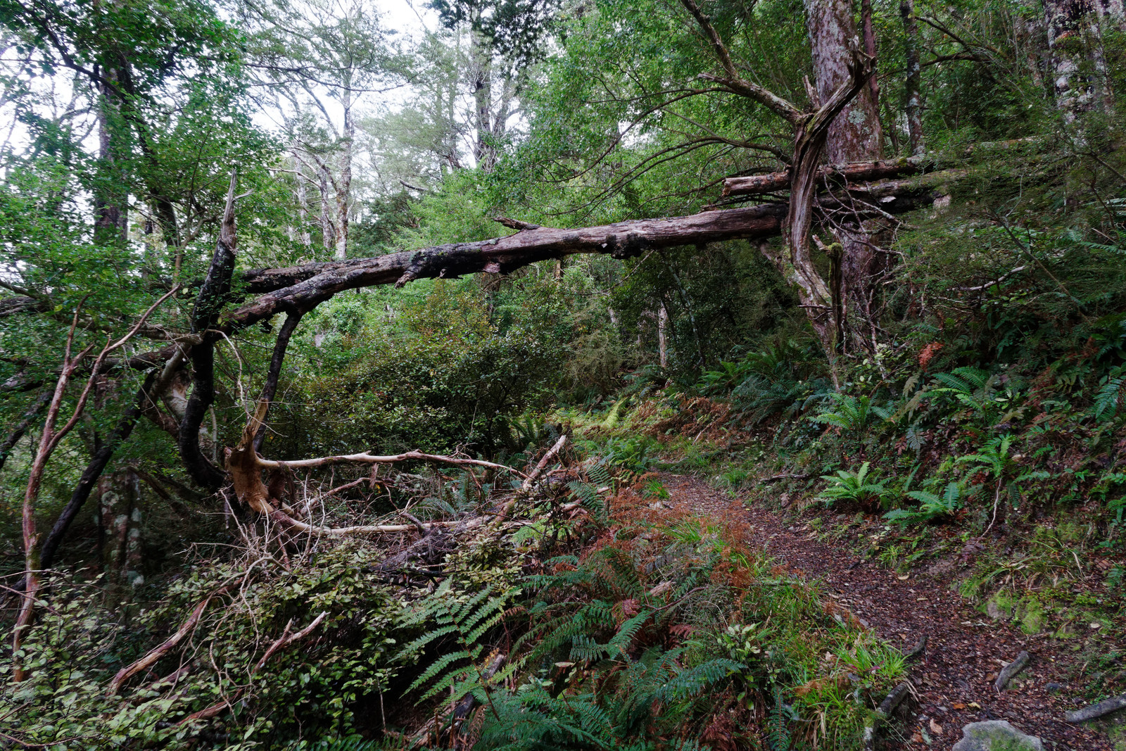
Lots of dangers on the track for tall people
Like this one
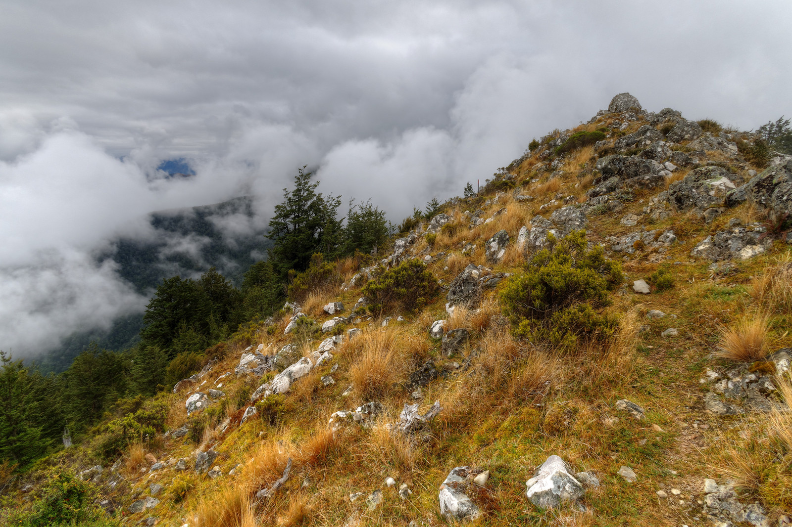
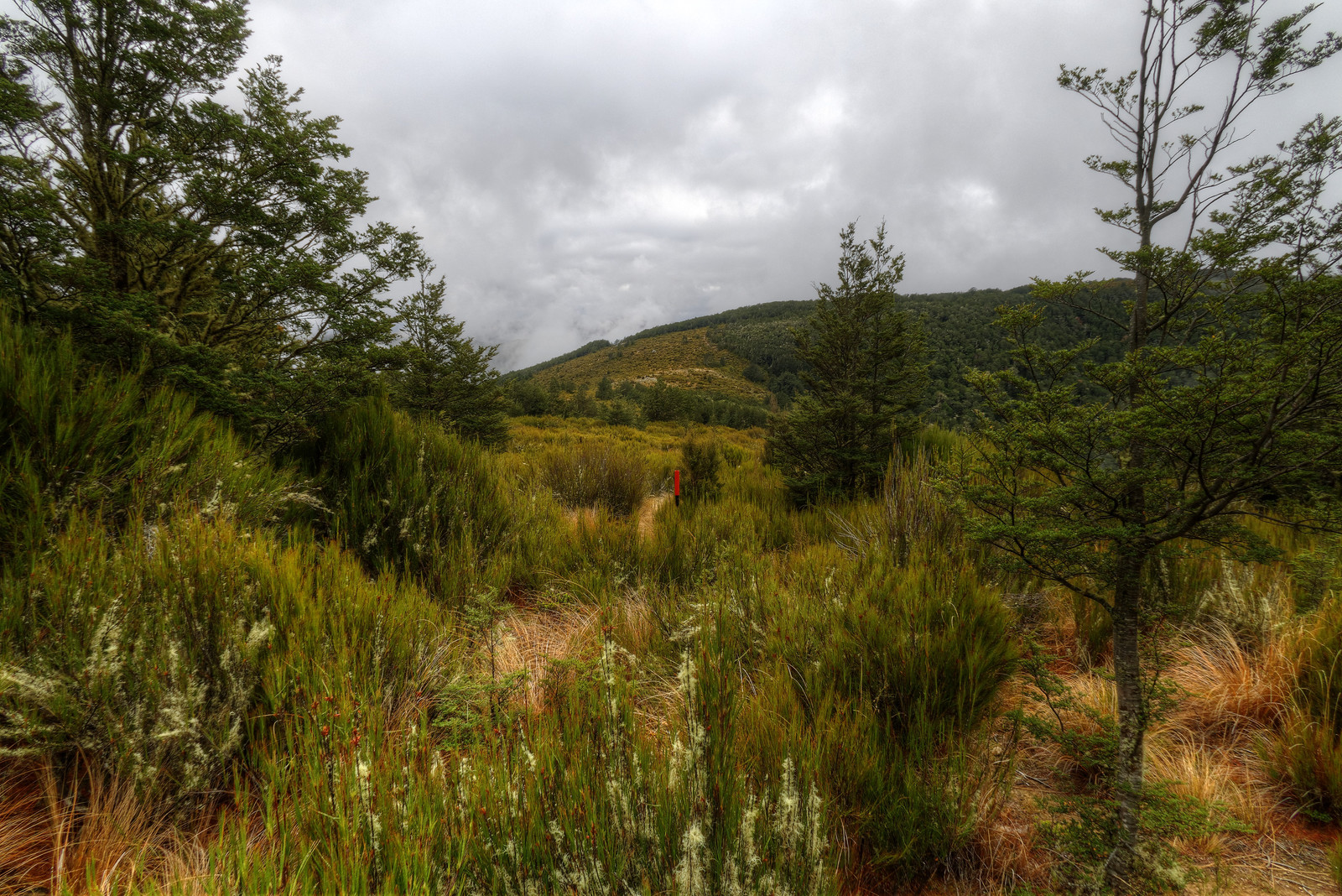
The clouds make for an interesting and sometimes almost spooky landscape
The orange marker (pole in the middle of the photo) marks the track
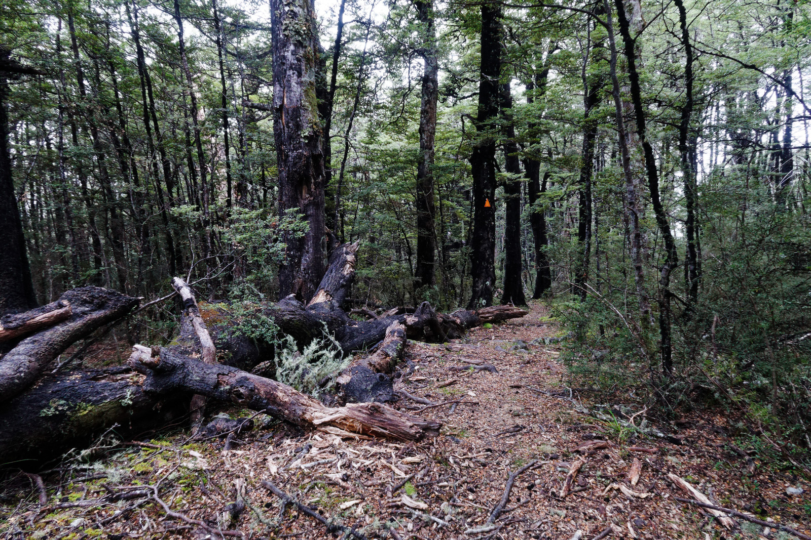
In other places it’s a triangle on a tree, pointing in the direction to go
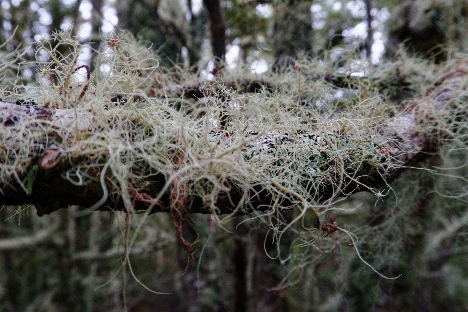
Lots of this stuff on the tree branches again
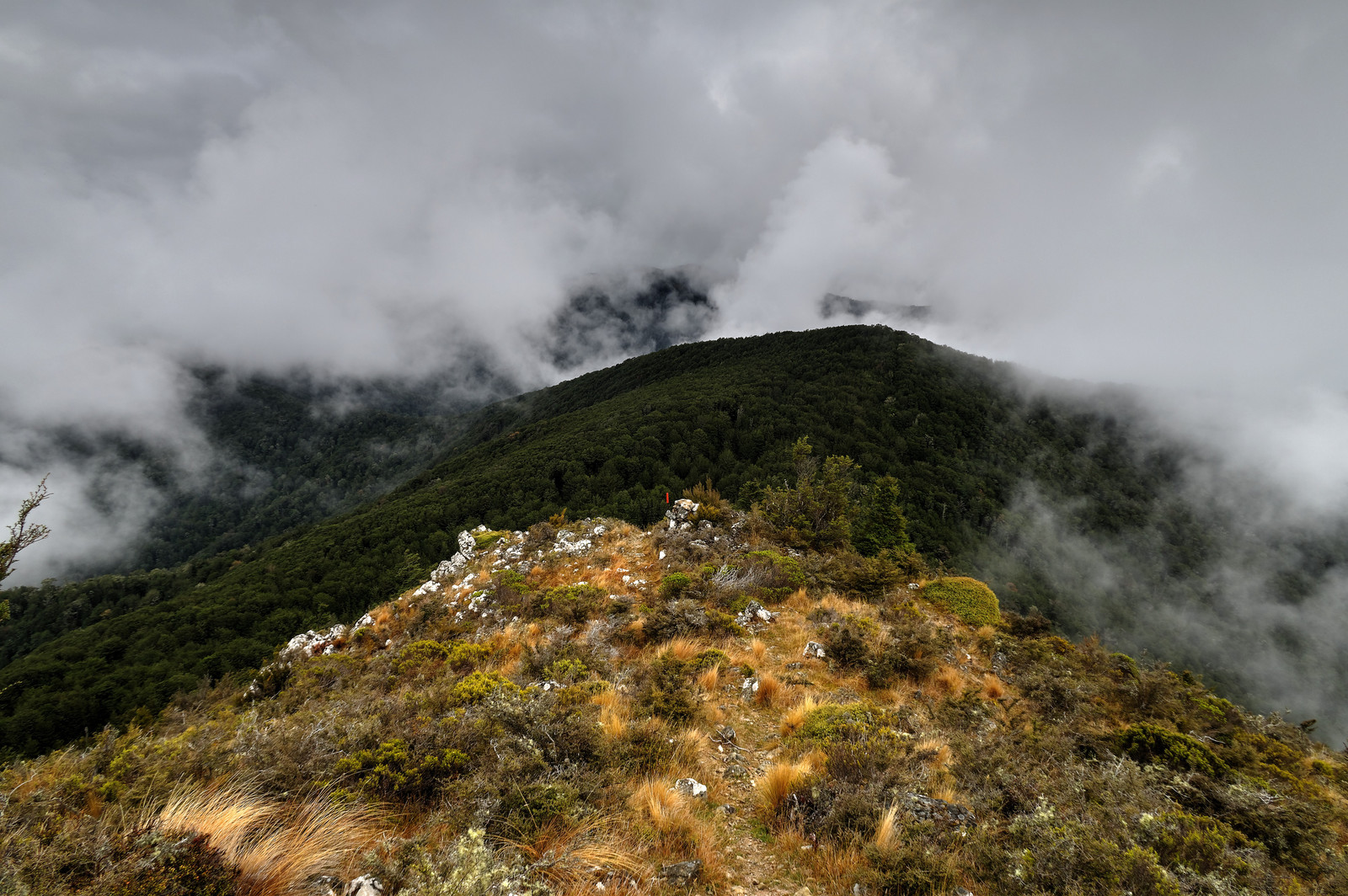
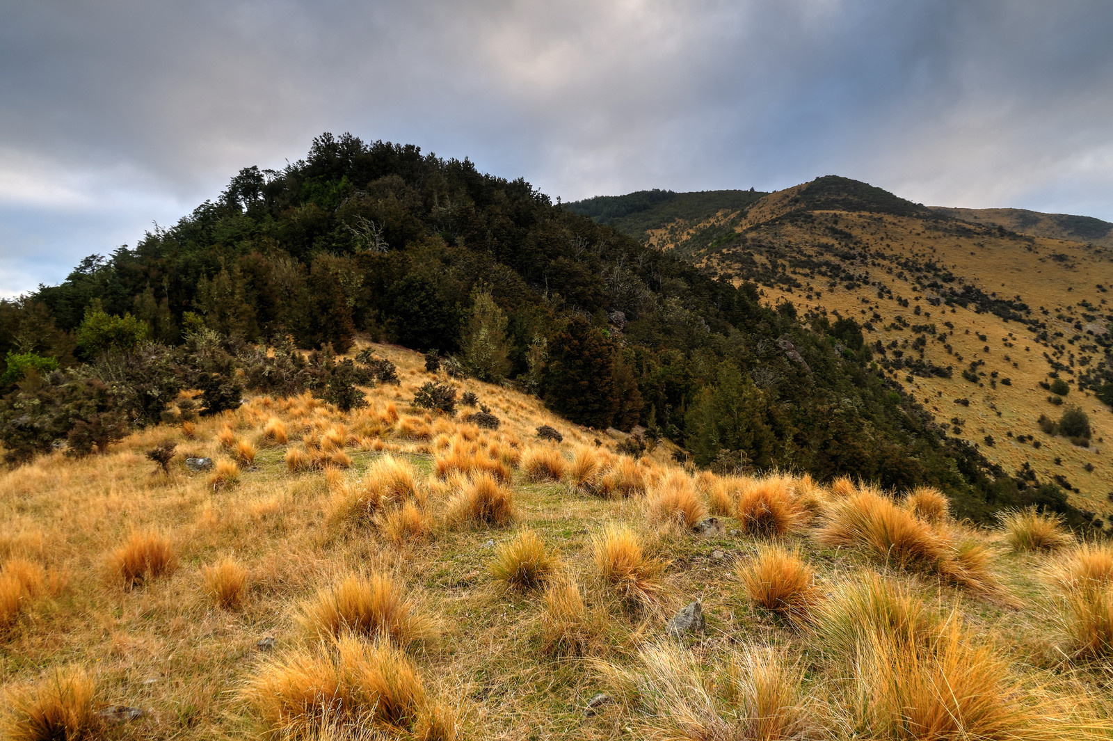
Nice landscape
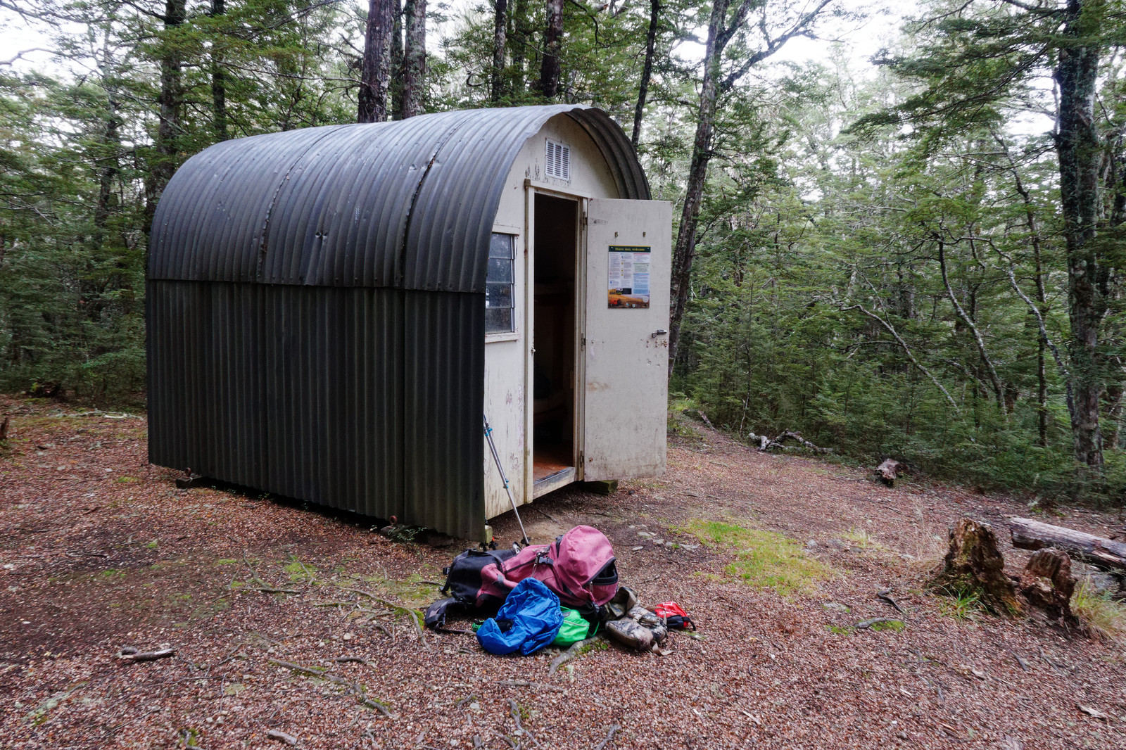
Bob’s Camp Bivouac, I am not staying here, just having a look what it’s about
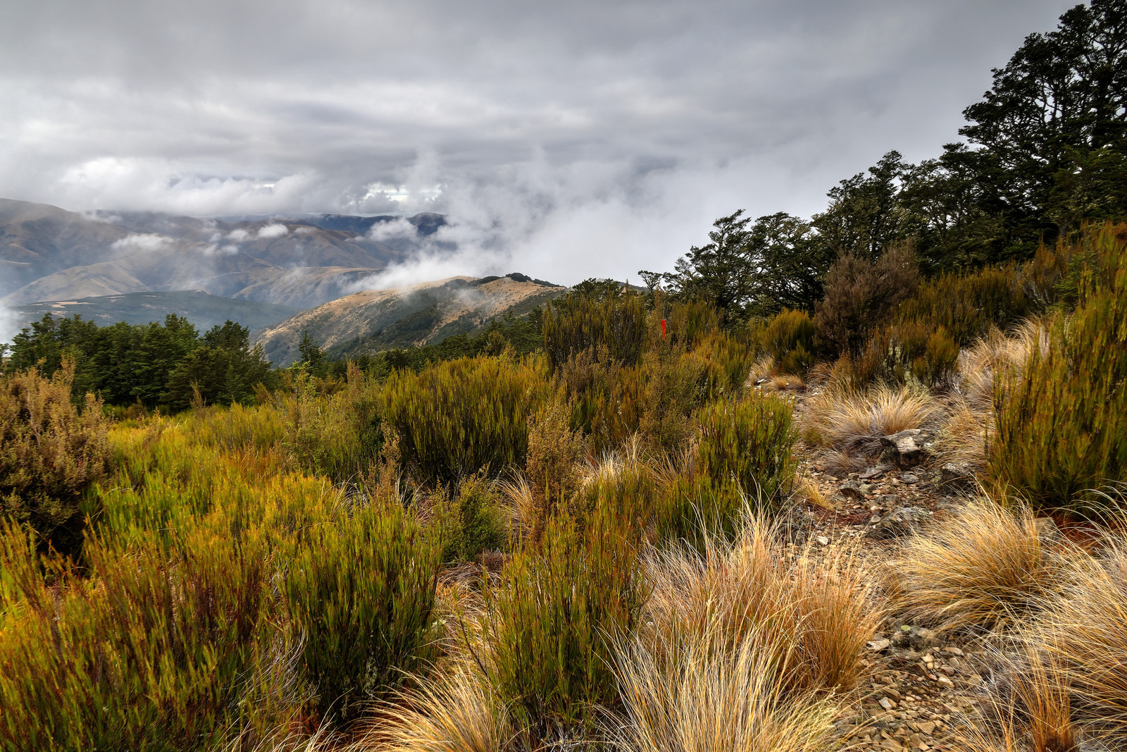
I continue towards Pinchgut Hut via the Cattle Peak Route
Getting close to the hut
A little video of yesterday
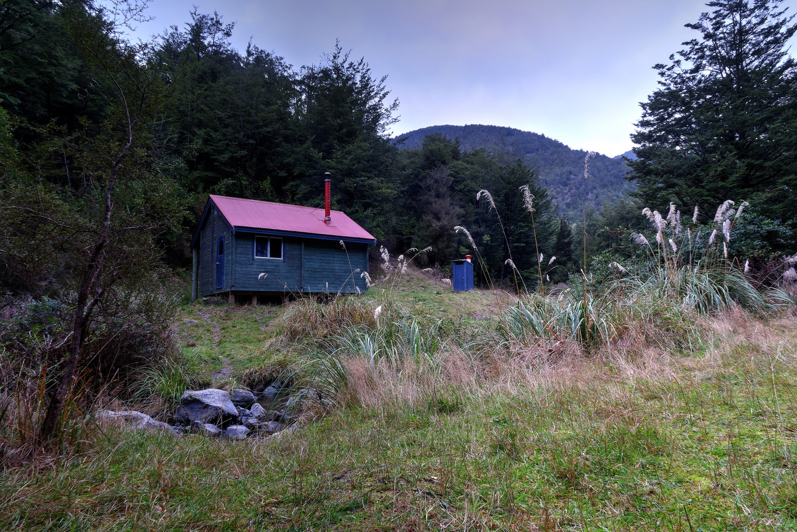
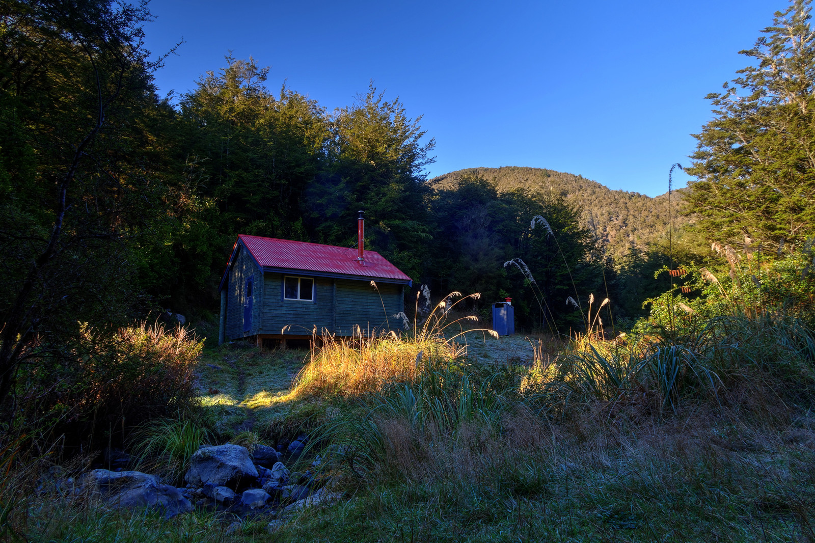
And there it is! In time before sunset, after a well-deserved meal I went to bed early
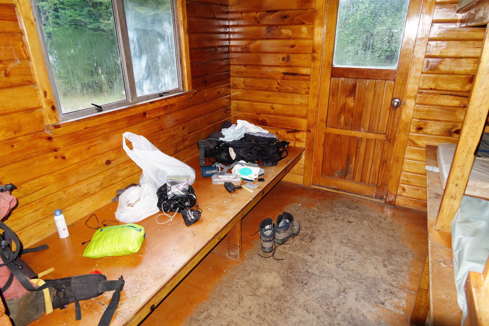
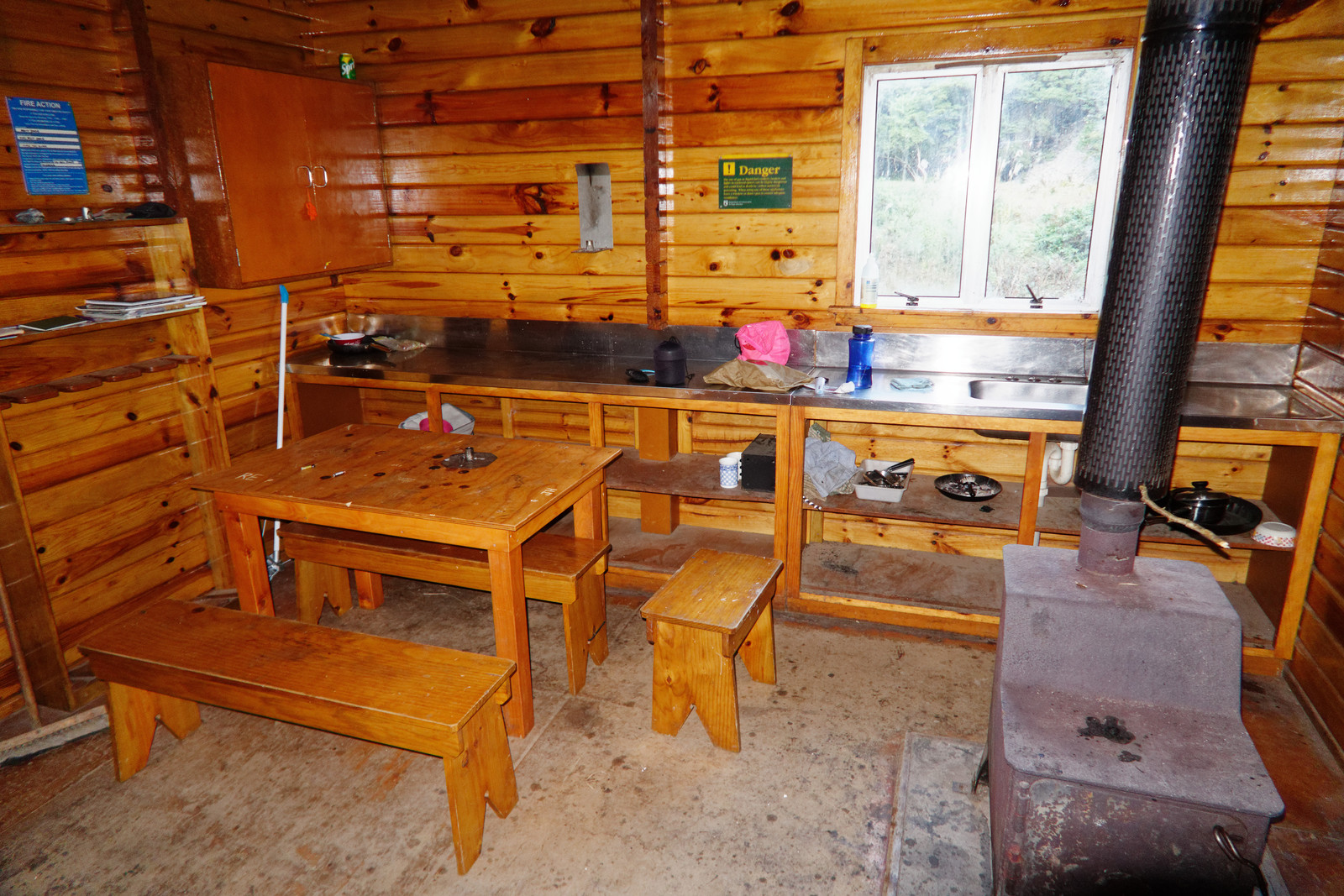
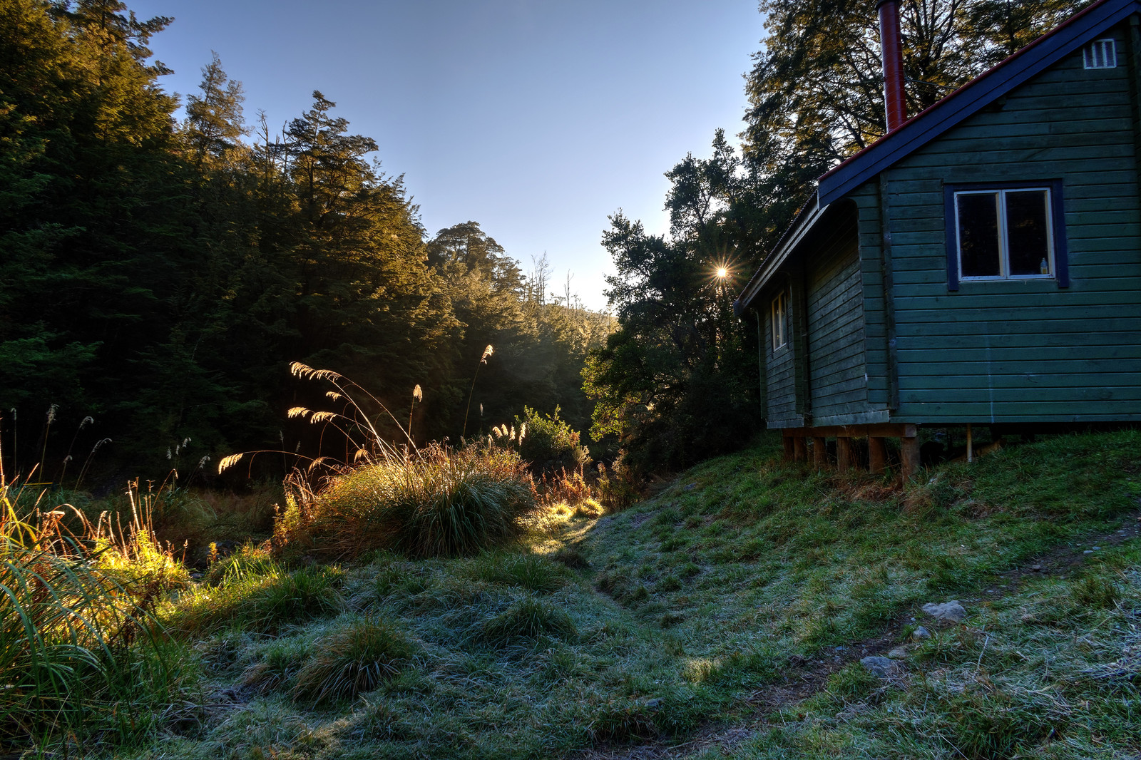
This morning, some photos of the hut
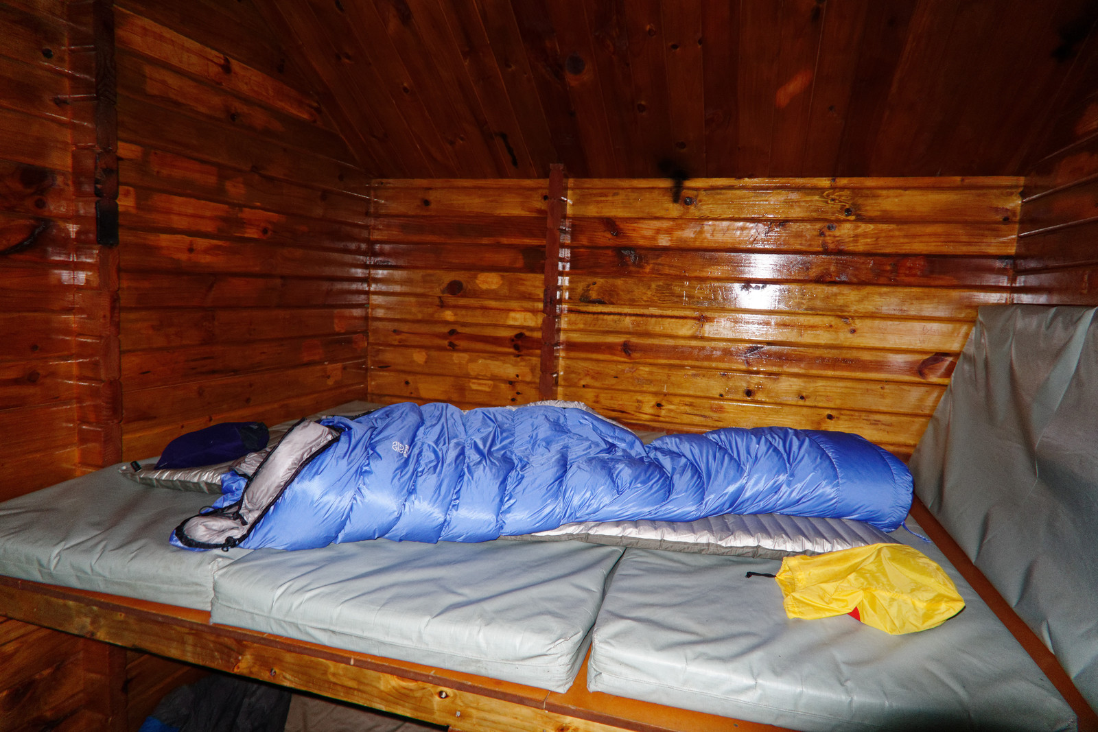
My awesome sleeping bag kept be warm
Lots of space in the hut
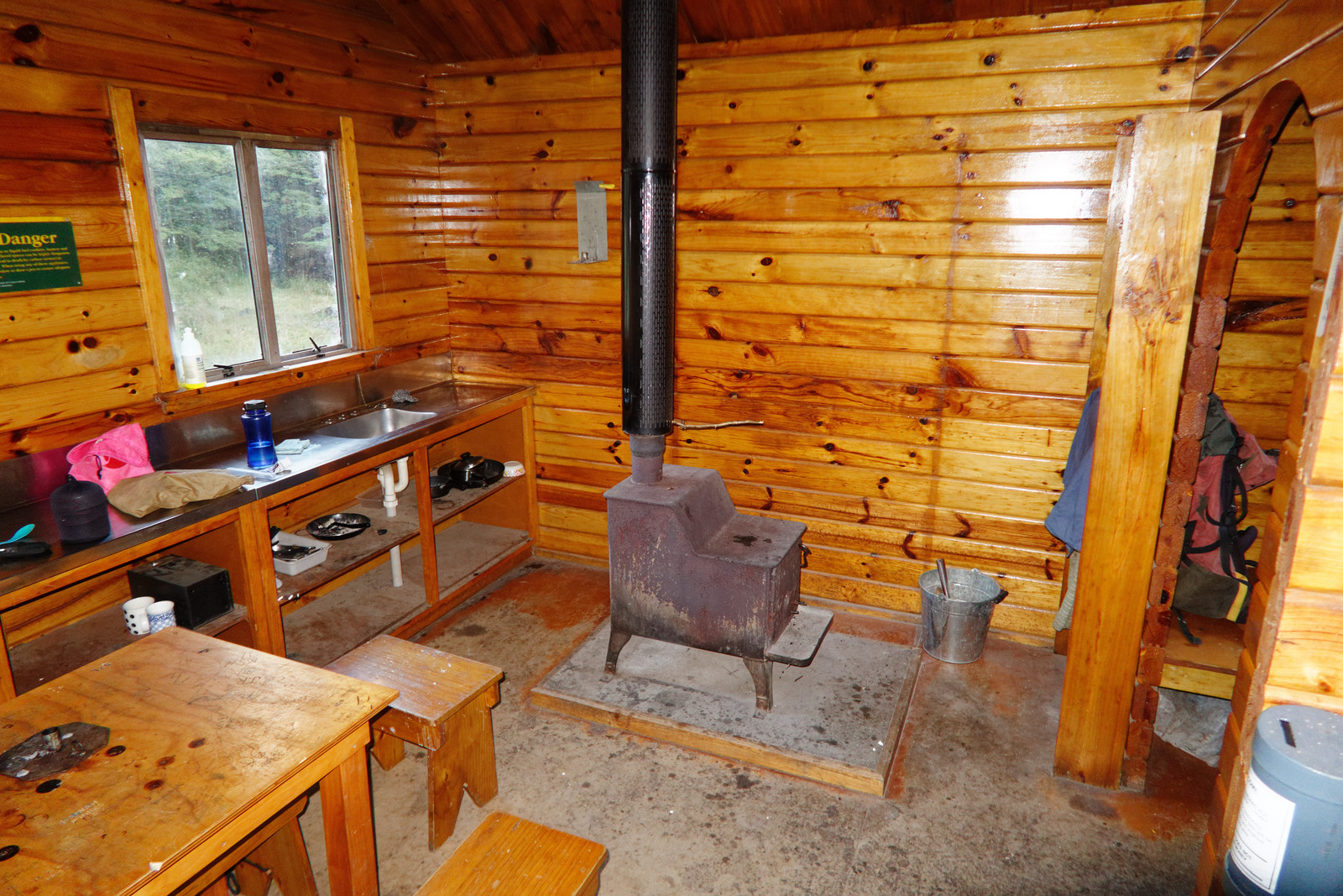
Too bad I am terrible at getting those log burners to work, would have been nice last night to have it going
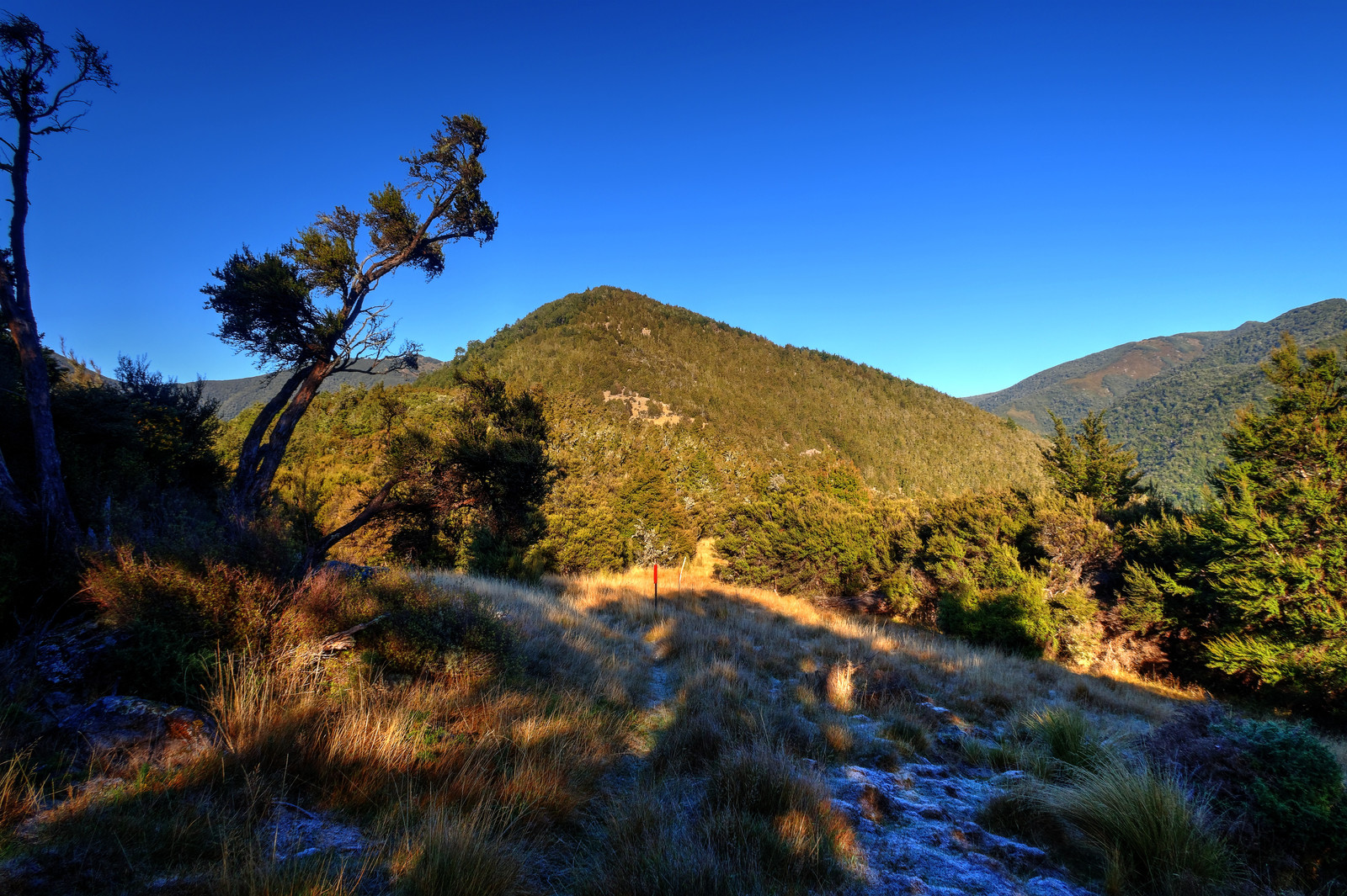
Today is quite different from yesterday, no more clouds but a clear blue sky
Before long the sun will heat up the hut
I’m on my way again via the Whare Route
A drone shot, where’s Waldo Edwin?
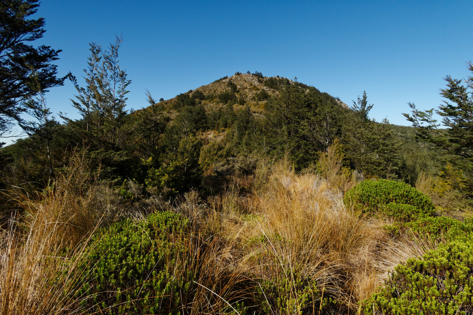
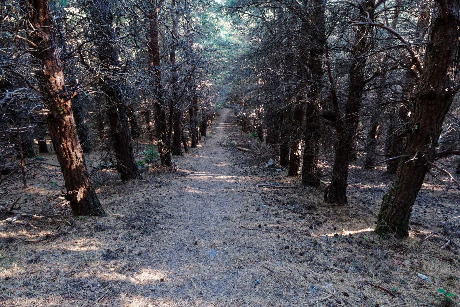
The track ahead
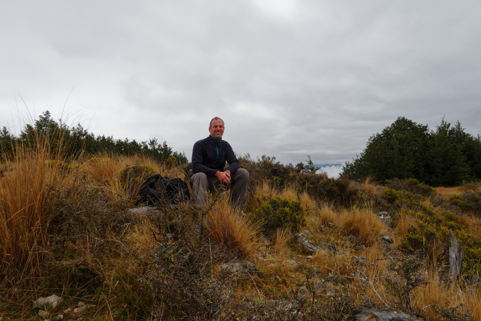
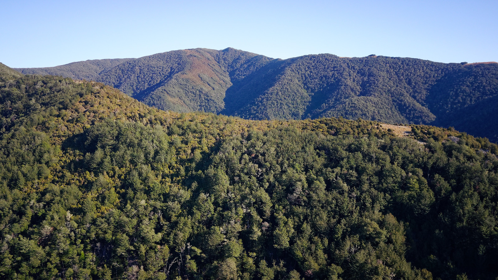
I am quite high now, with good views of the surrounding mountain rangers
On my way to Mt Thomas
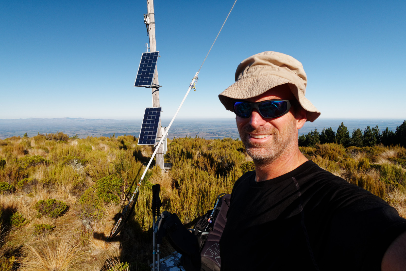
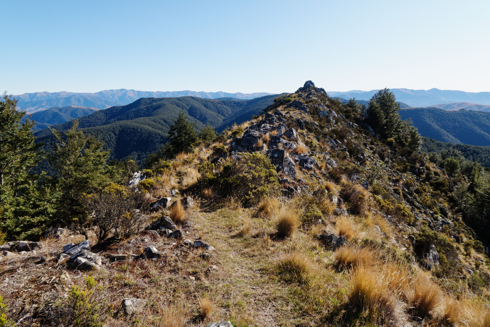
At Mt Thomas
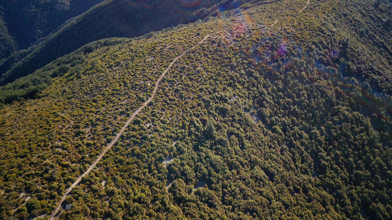
Drone shot of the track I just walked
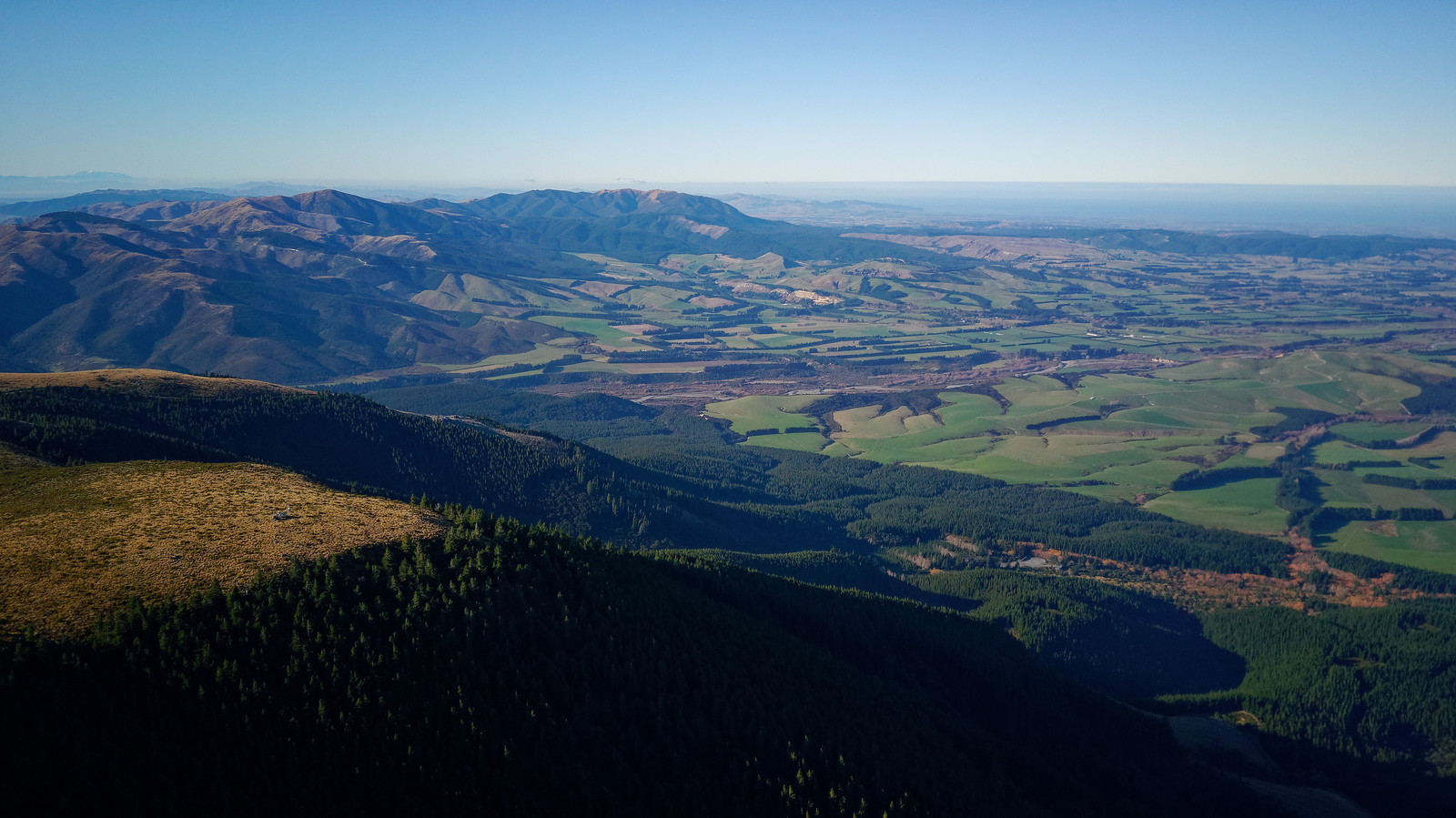
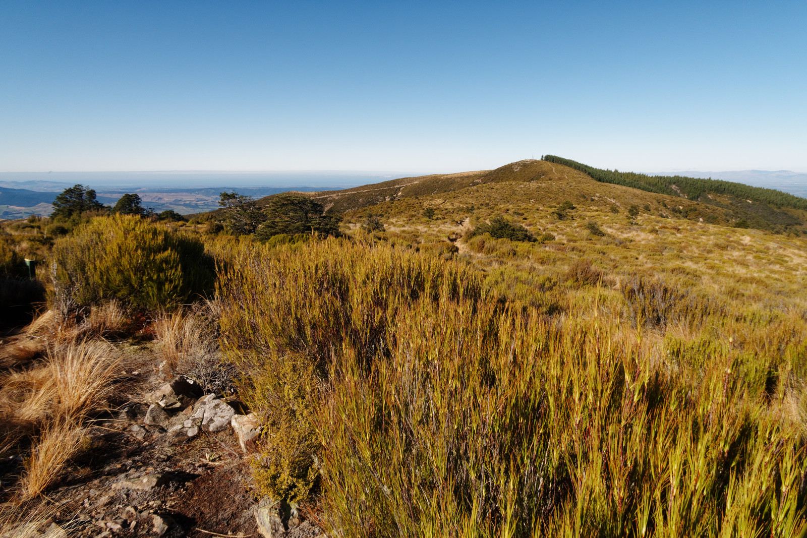
Looking towards Ashley Forest
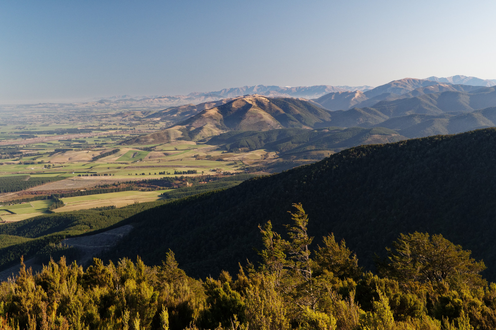
Looking south
The track down back to the car park, it’s very steep!
And another little video of today
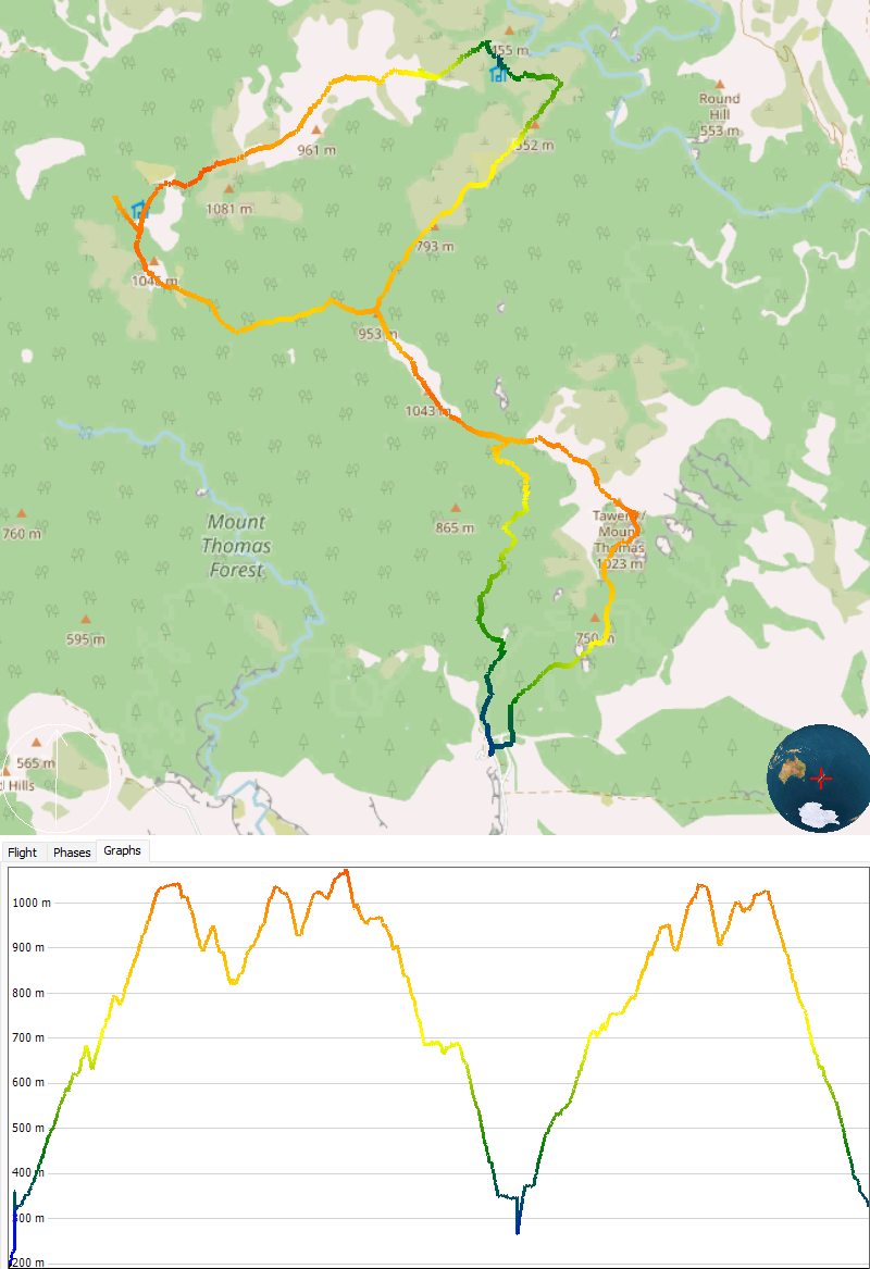 Profile of the entire track[/caption]
Lekker wandelingetje Ed! Je ziet wel dat 6 jaar nabewerken van de beelden zijn vruchten afwerpt! ;P
Ik heb een enorme backlog, foto’s van jaaaren terug die ik nog steeds een keer online moet plempen. Ooit staan ze er allemaal op. Overigens is dit een wandelingetje noemen hetzelfde als een 500km vlucht een uurtje lokaal vliegen noemen.