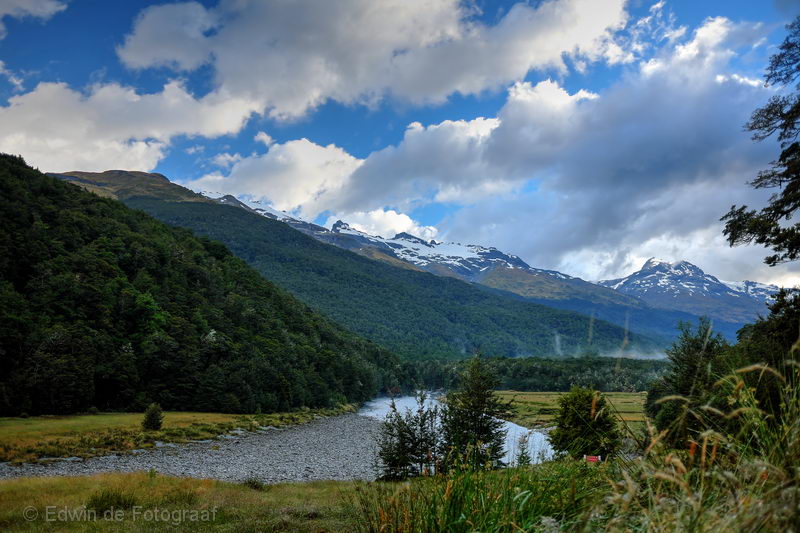
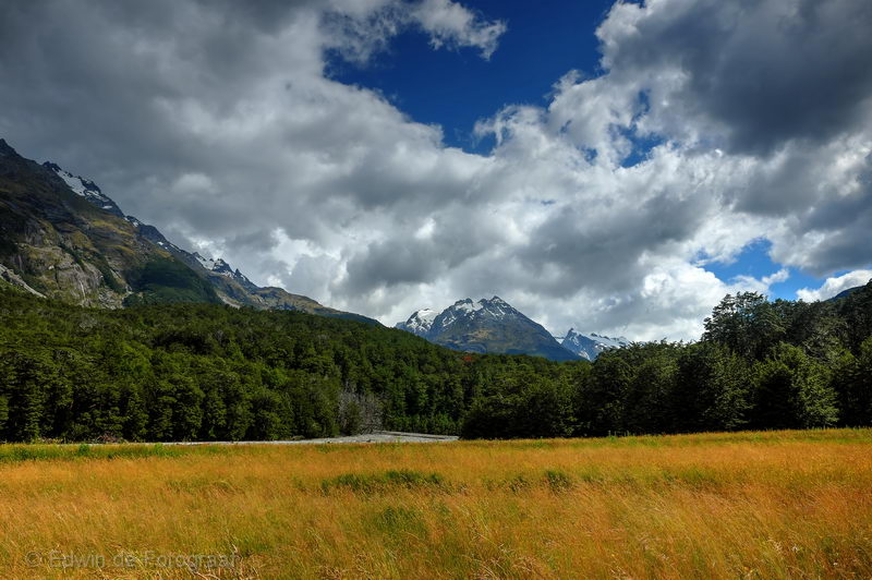
Last day of the track, early start, looking back towards the Barrier Range
Sandy Bluff, this is where I’m heading
Cosmos Peaks on the true right of the Dart River
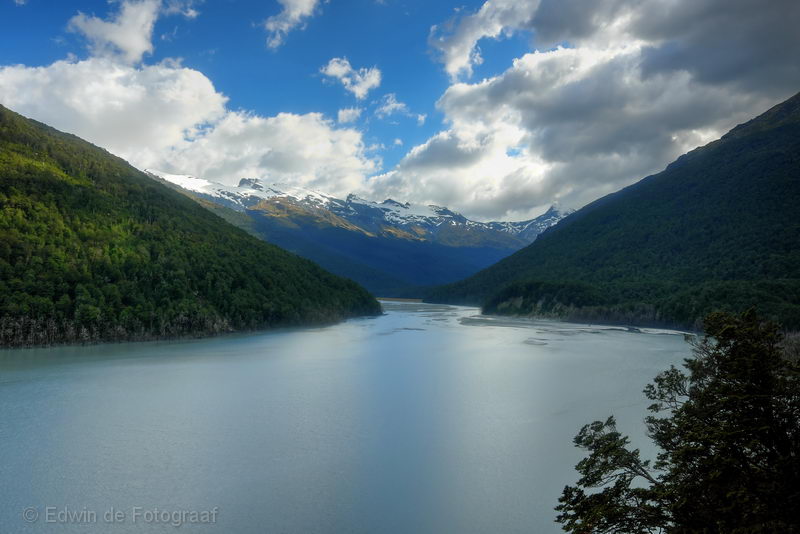
The Dart River at Sandy Bluff
Looking back at the Dart River, Dredge Flat and the Barrier Range
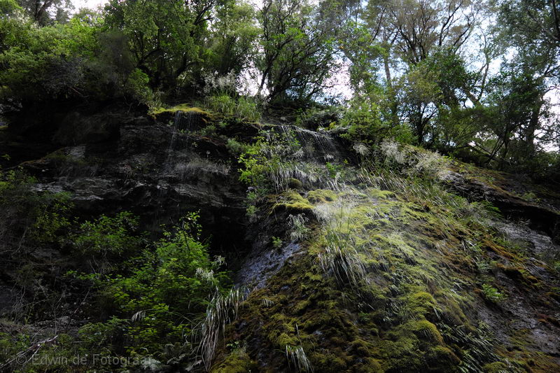
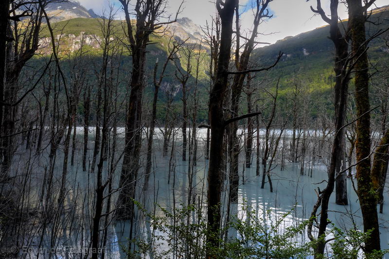
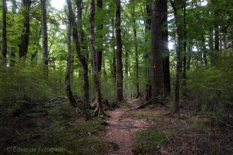
From here on the track is through forest
Where sometimes you have to pull yourself up using a handrail
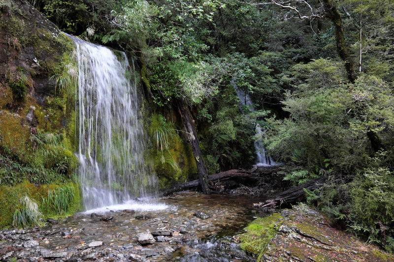
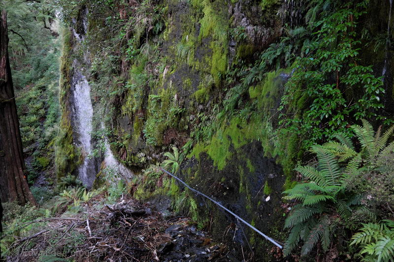
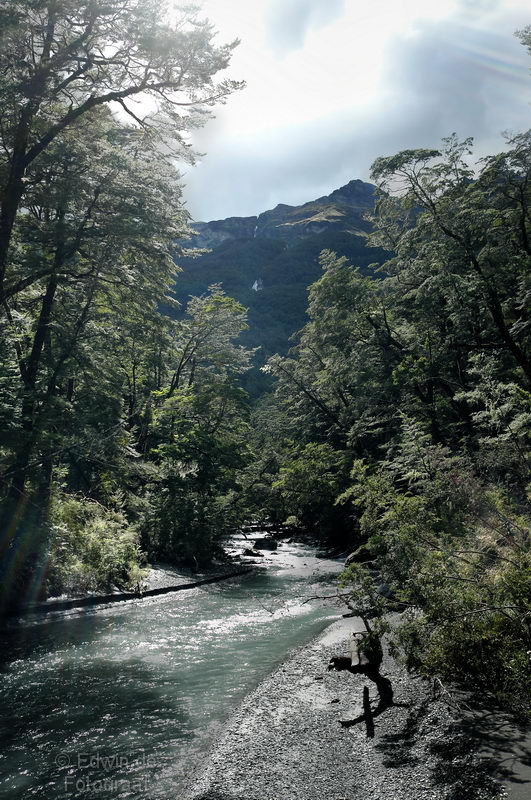
Or stop to look a waterfall
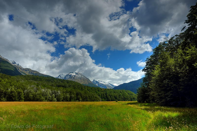
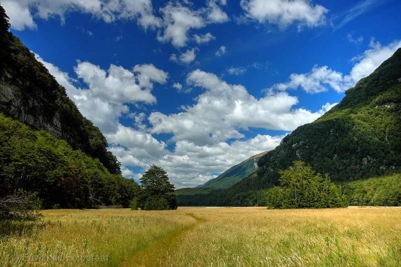
It’s getting flatter, must be getting closer to the end of the track
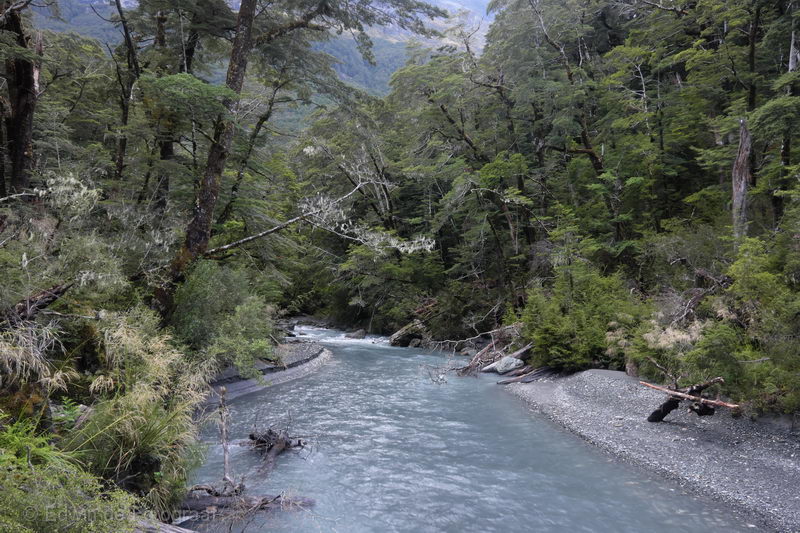
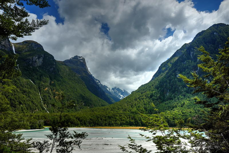
A river coming from Pluto Peak joins the Dart River
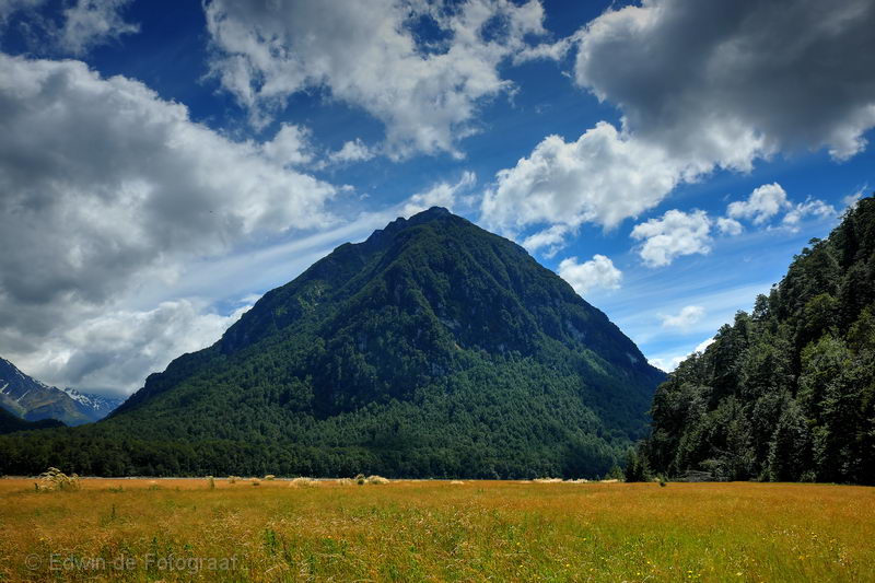
Pluto Peak
A string of little peaks leading up to Cosmos Peaks
Looking back to Mc Bride Peaks in the middle
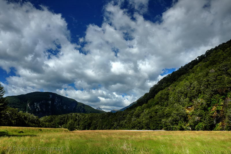
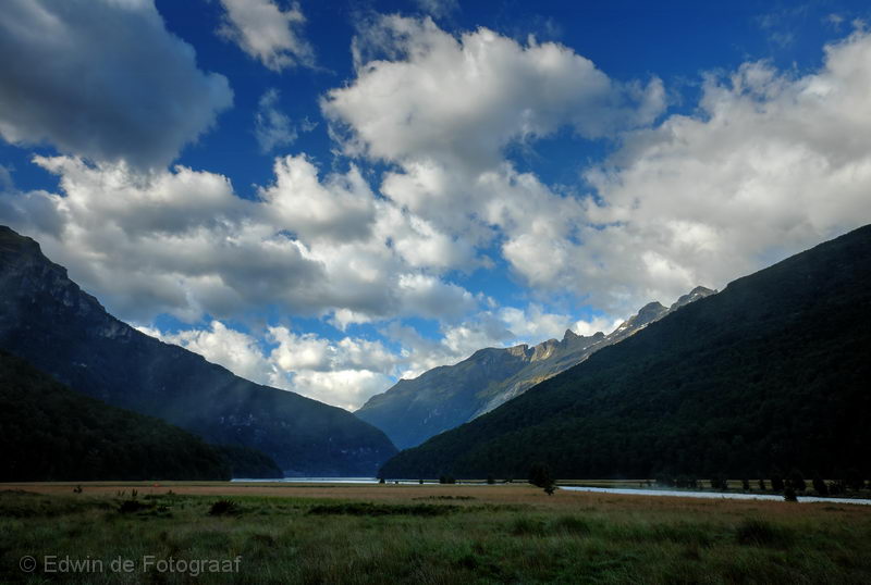
Looking SSW towards Chinamans Bluff
Mc Bride Peaks again
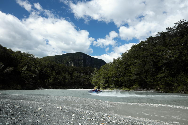
The first sign of (other ) life in 4 days: a jetboat racing up and down the Dart River
Almost at the end of the track, looking back: the ridge leading up to Cosmos Peaks on the right, the Beans Burn Track leads to the valley in the middle, Mt Chaos on the valley’s left, Mt Niobe in the clouds further back
The ridge leading up to Cosmos Peaks again
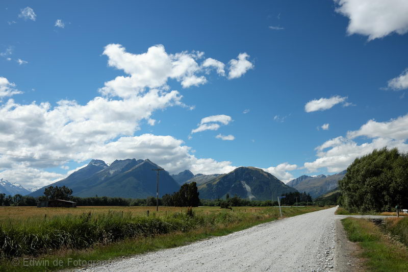
This is really only a few minutes walking from the end of the track, nearly there! What an awesome hike this was!!
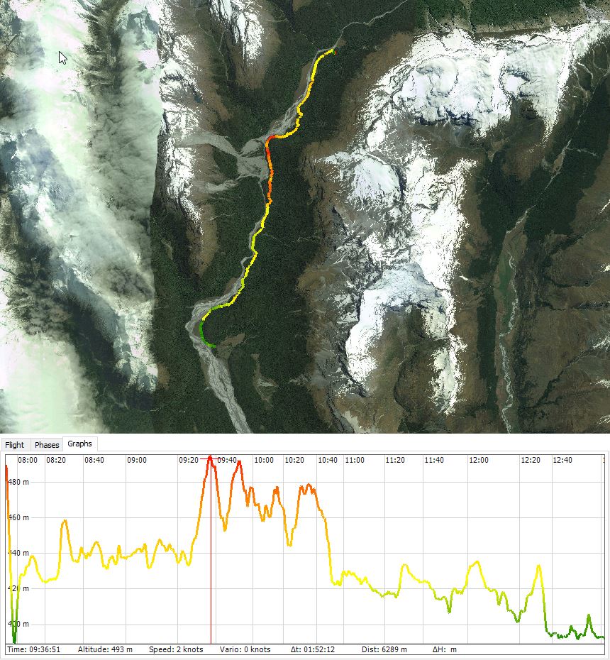
Track log of today, distance was about 17.5 km again and that took about 5 hours
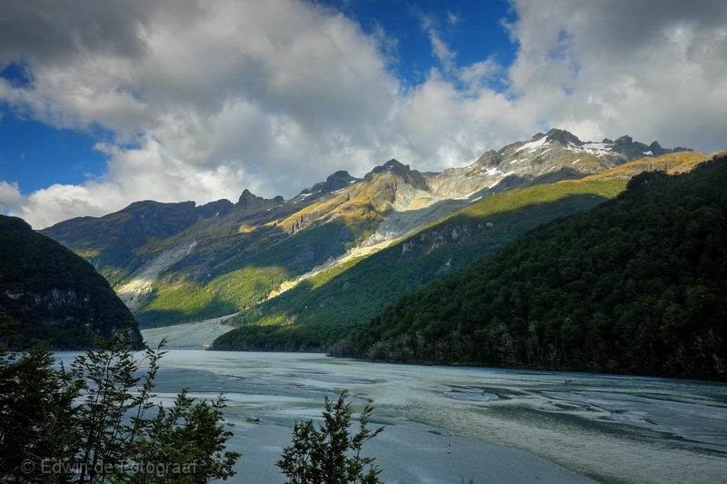
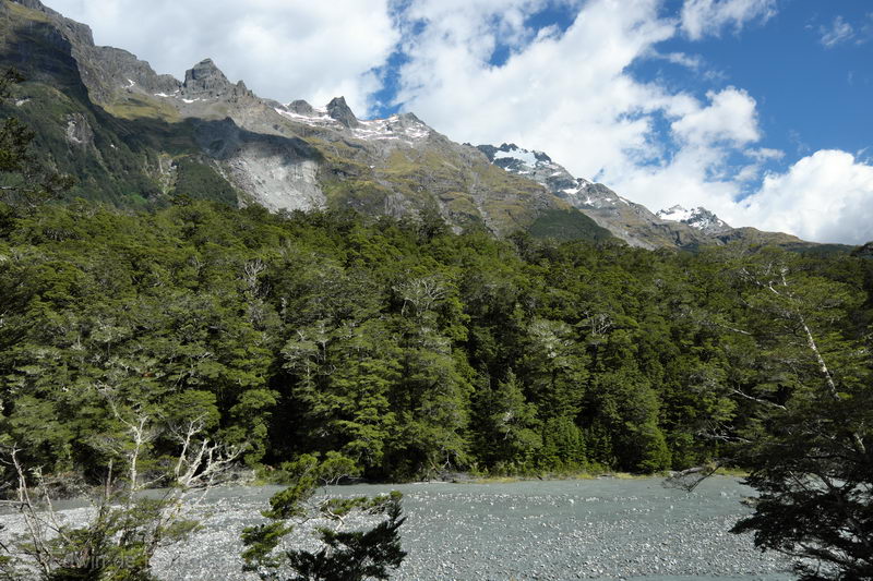
After all that walking the last 4 days I decided to do yet another hike tomorrow, to the Earnslaw Glacier. That track starts in the valley in the middle of the photo and leads up to the highest peak left of it
So very beautiful!