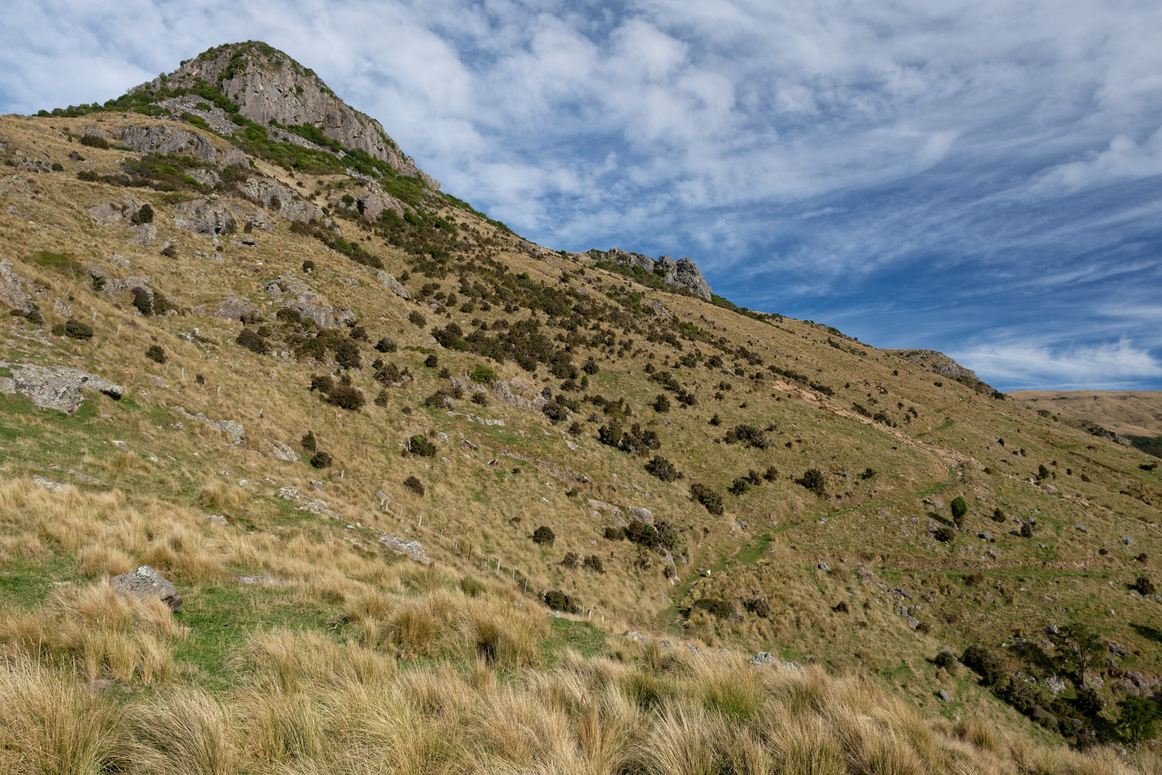
The weather is nice, I need some exercise so I’m off for a weekend hike to Packhorse Hut. My start yesterday was at the Port Levy Road where I’m greeted with this view of The Monument
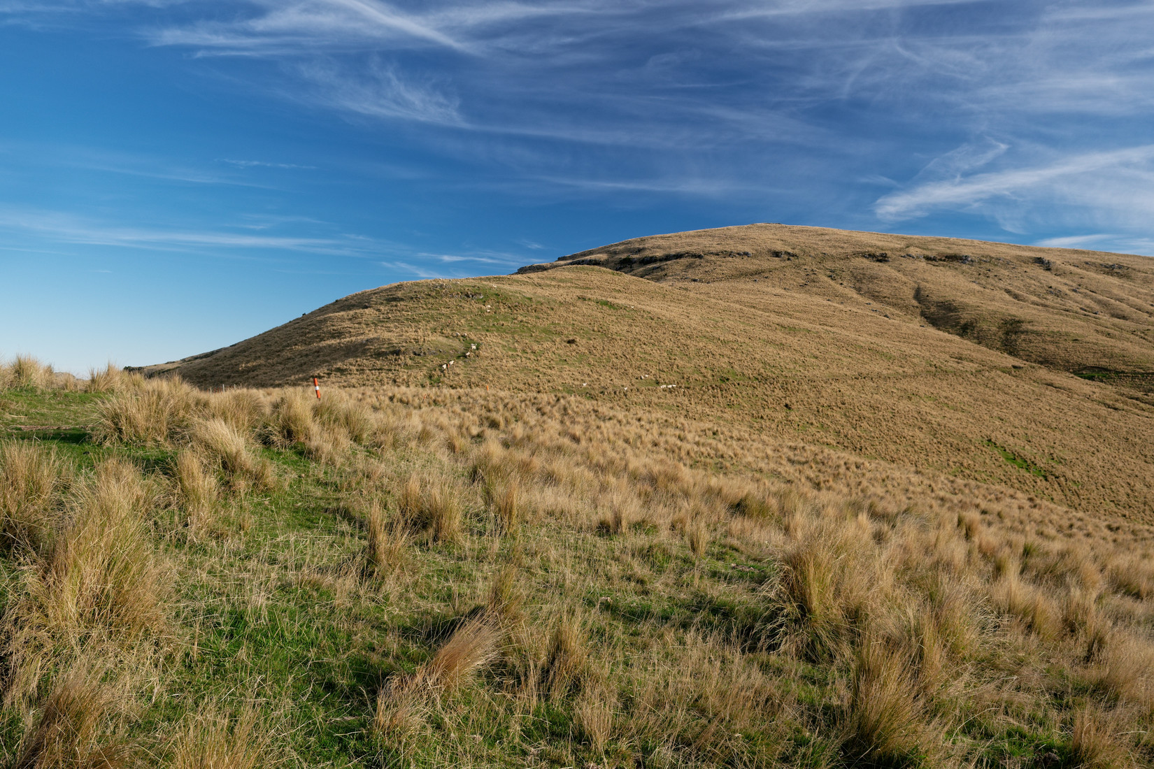
The first part (the Monument Track) is a track that only goes up and up and up and it’s slow going in today’s heat
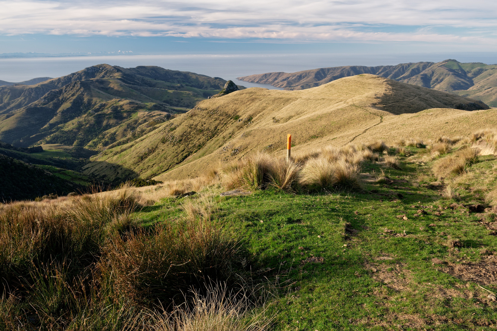
Halfway up and looking back
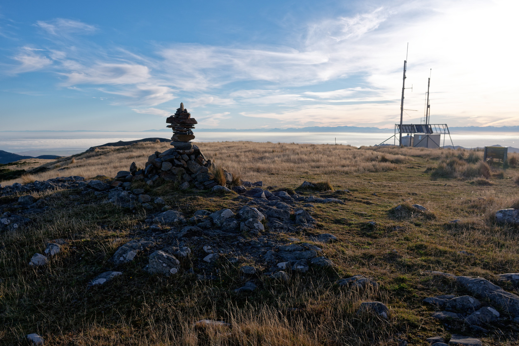
The top of Mount Herbert, I’ve been here before a few times
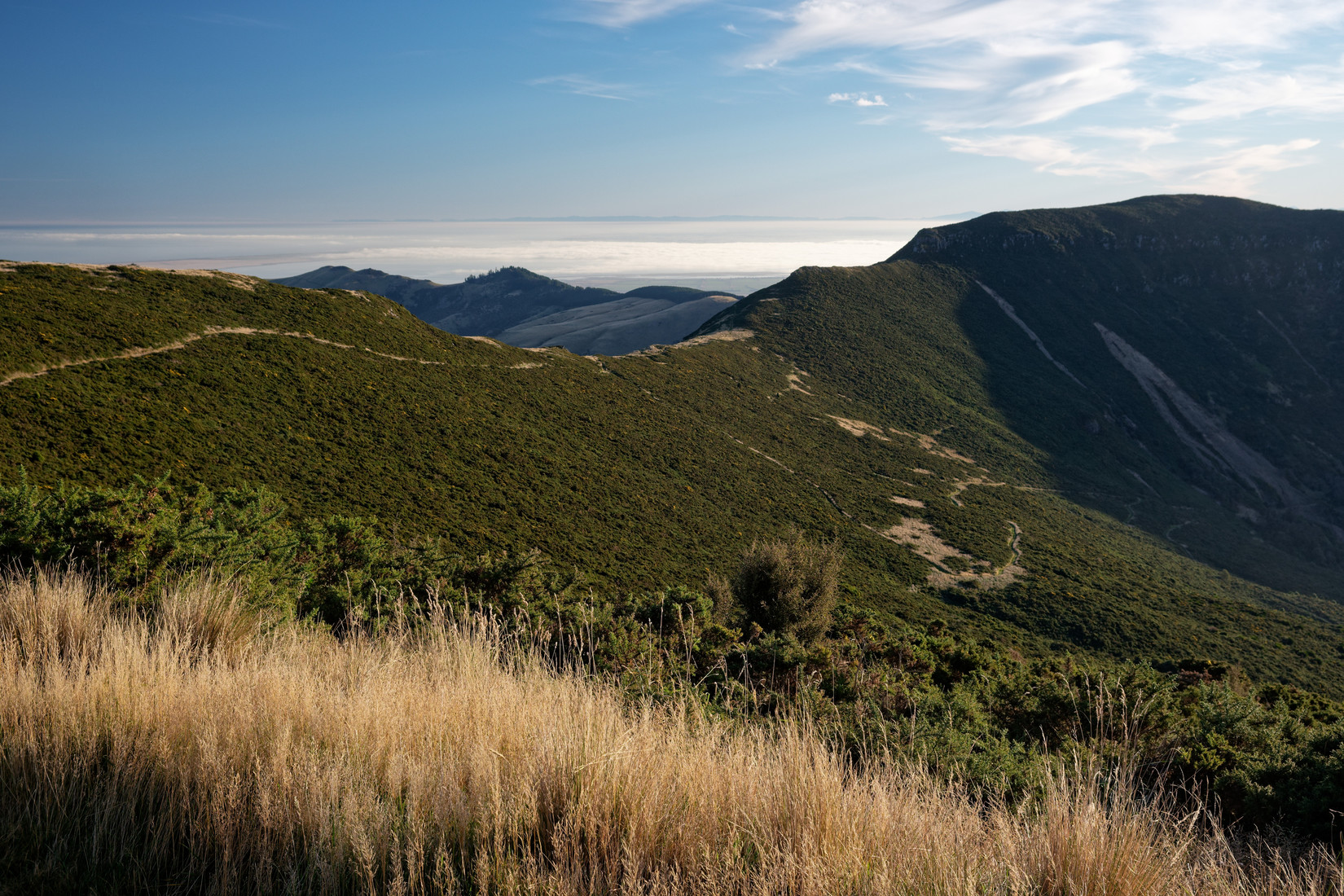
It’s still quite a distance to the hut and because I started quite late I am getting anxious, will I make it to the hut before dark!? It’s somewhere in the middle in the distance that I need to be
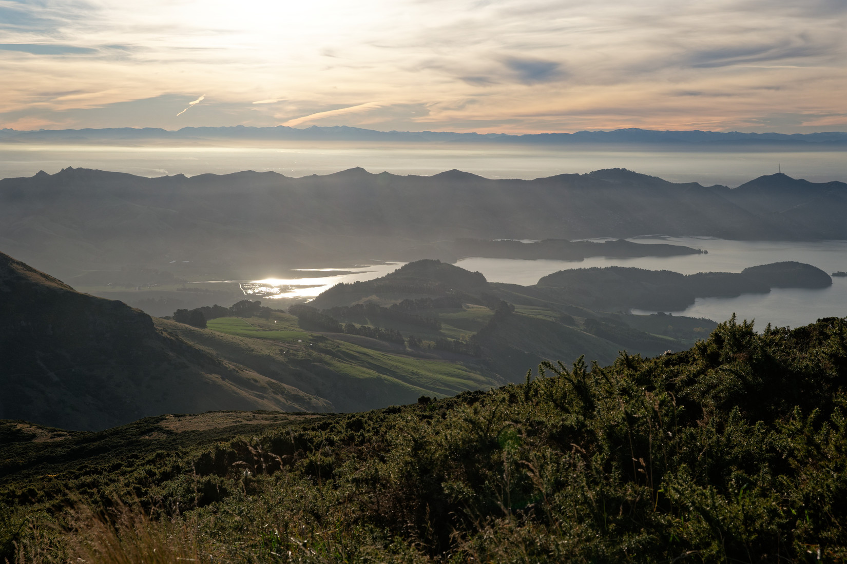
Lyttelton Harbour
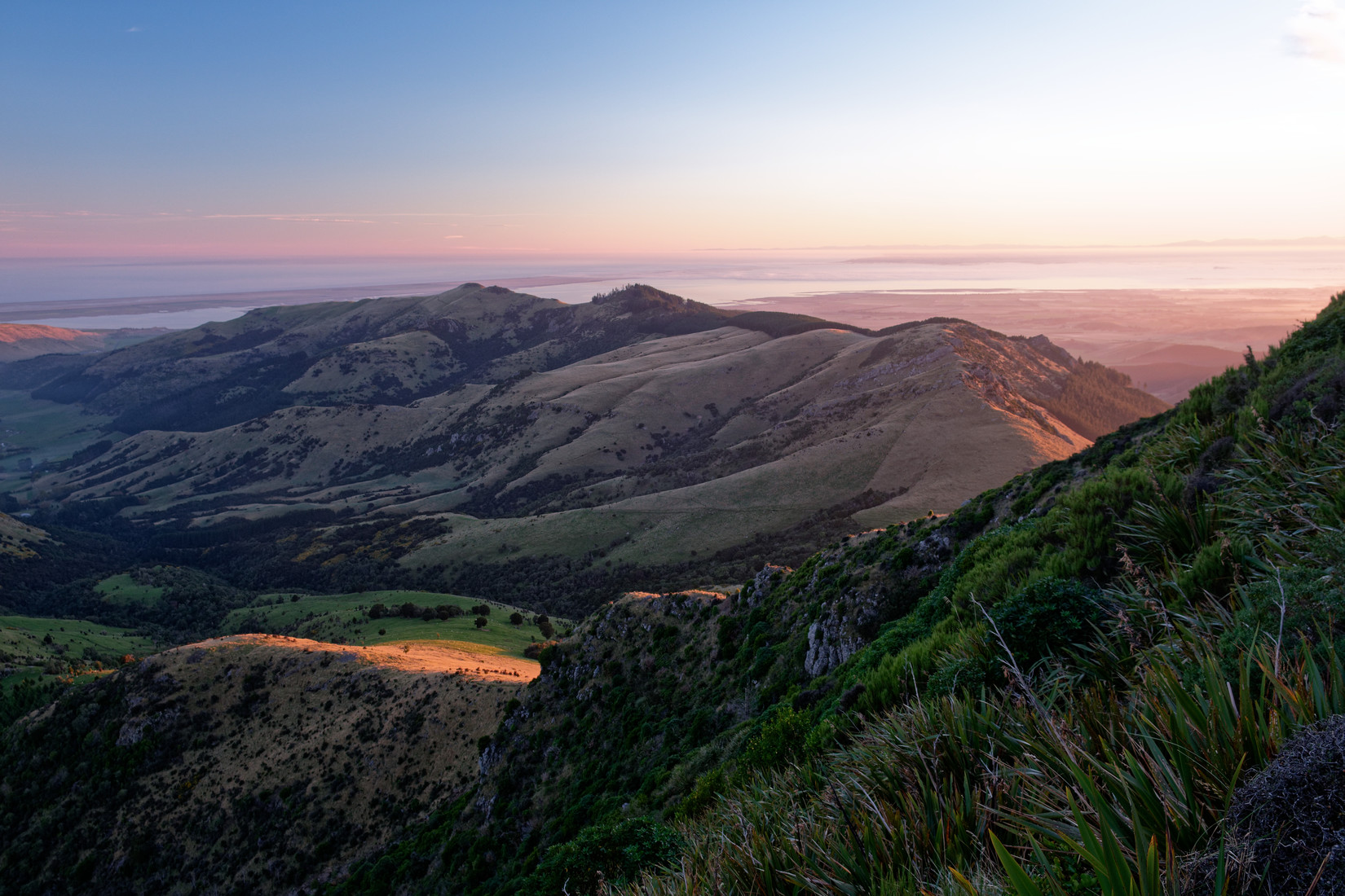
I should be close now, somewhere just beyond the green ridge, and quite a bit lower
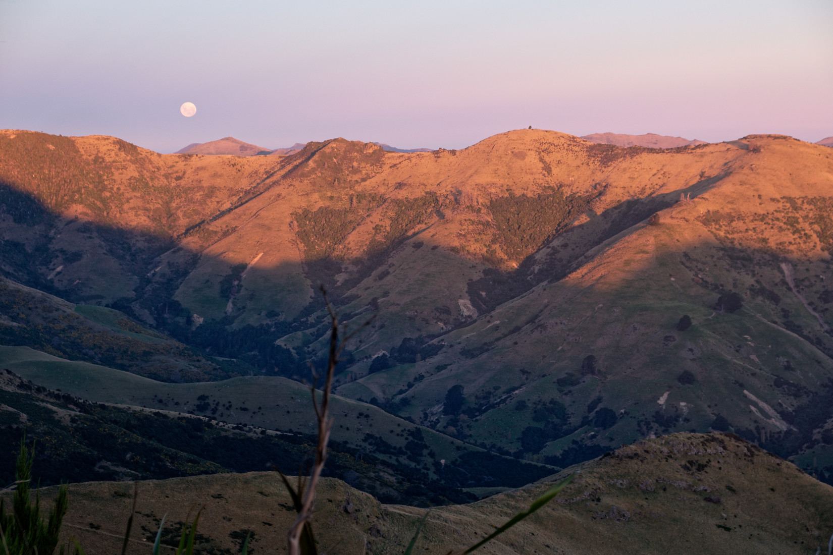
To my east the moon is coming up
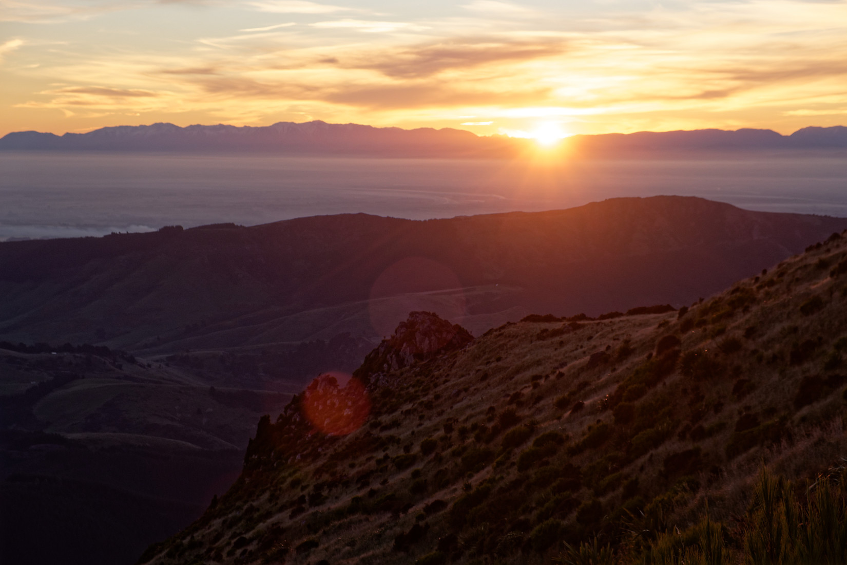
To my west the sun is going down
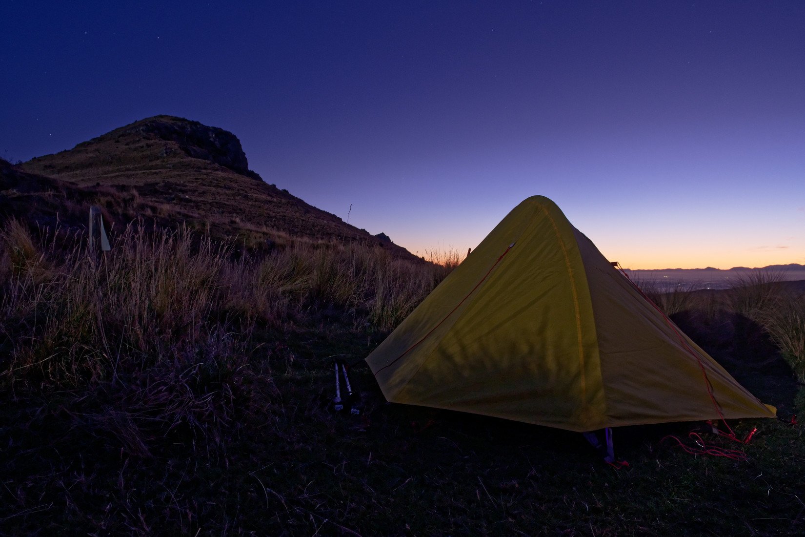
I made it to the hut in the nick of time, 5 minutes later and the descend towards the hut would have been dangerous with hardly any daylight left. There were people in the hut already and despite there being room for me I decide to pitch my trusty tent instead
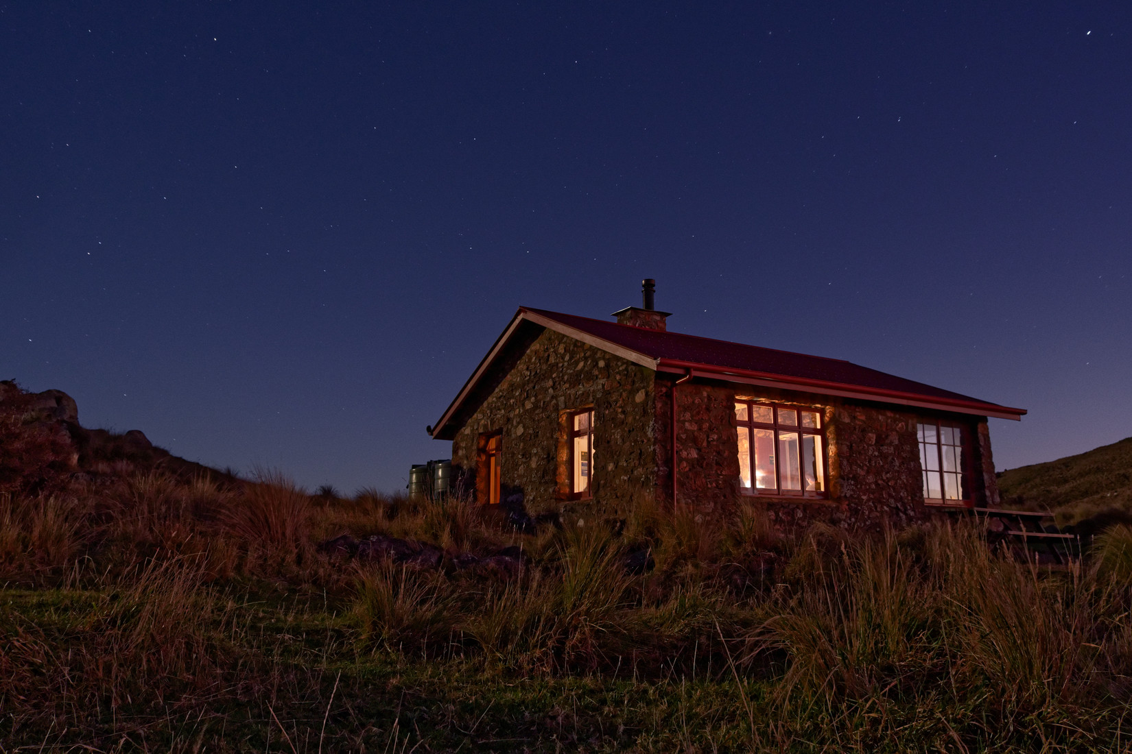
Packhorse Hut, I spent some time inside but am tired of all the hiking so call it a night early
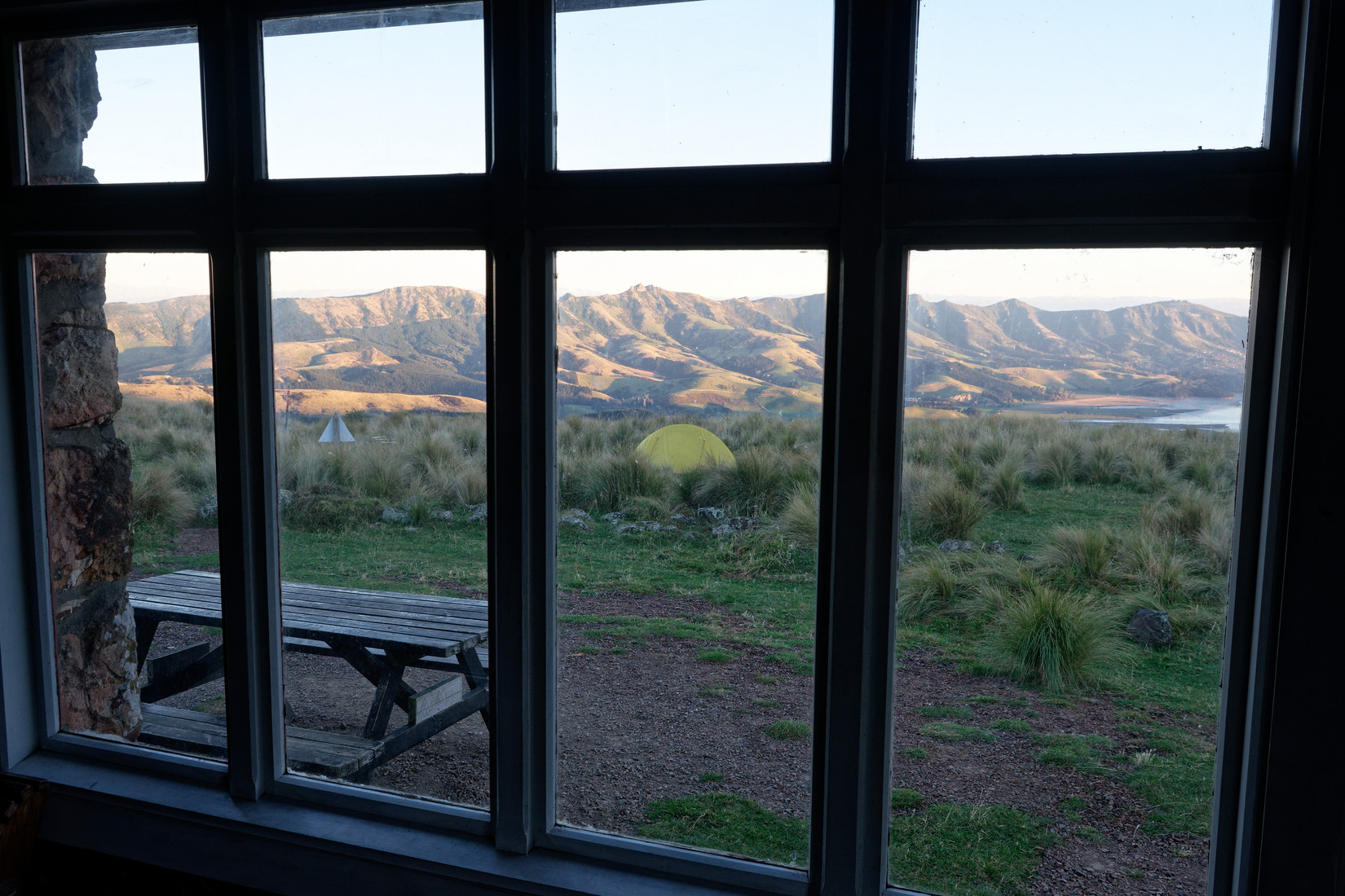
This morning, the view of my tent from the hut, it’s nippy outside
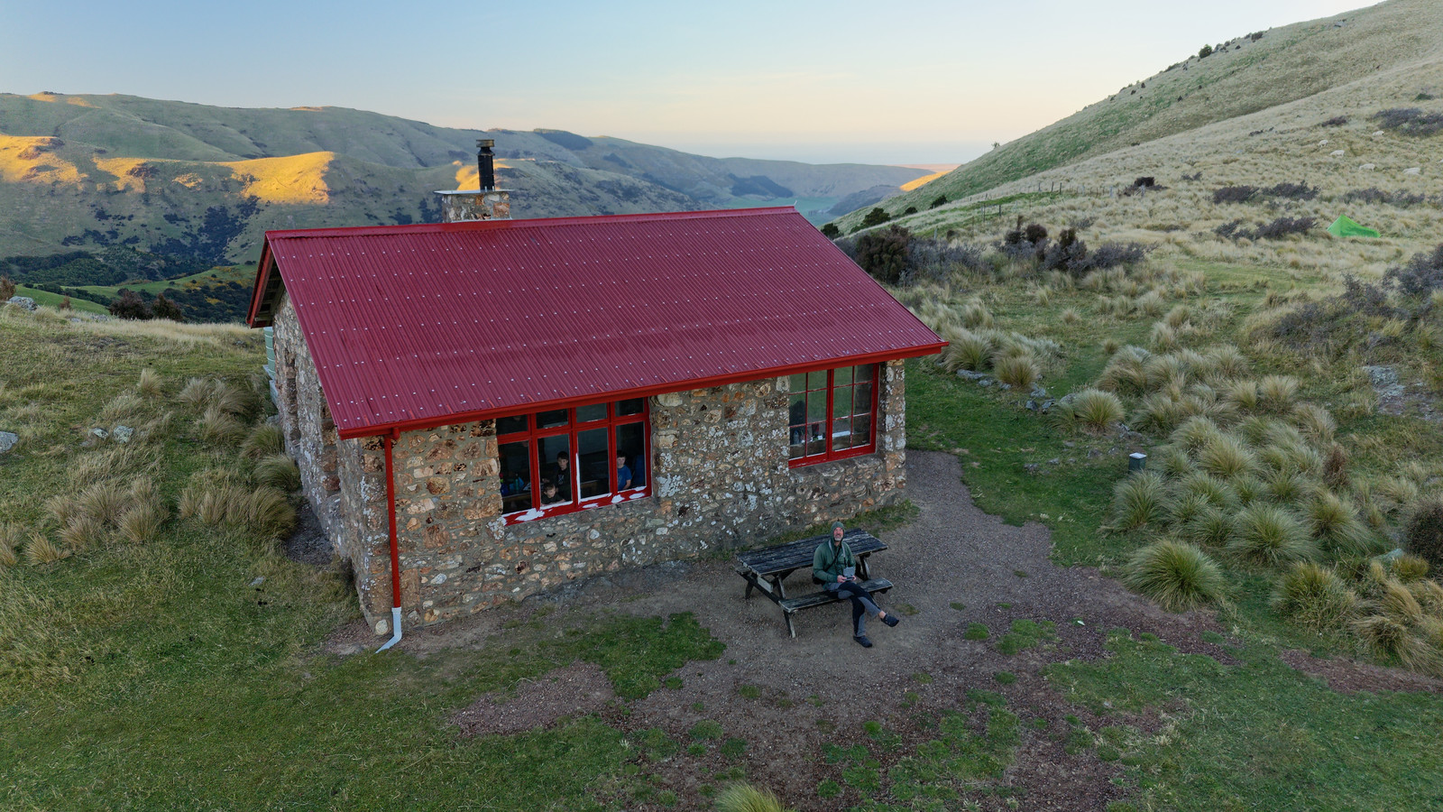
A drone shot
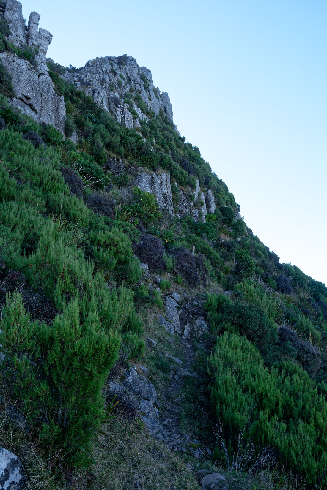
Today I am walking back the same way I got in yesterday, the drawback is that you know what’s to come, especially if you know that it’s going to be another many hours of walking up, and up, and up
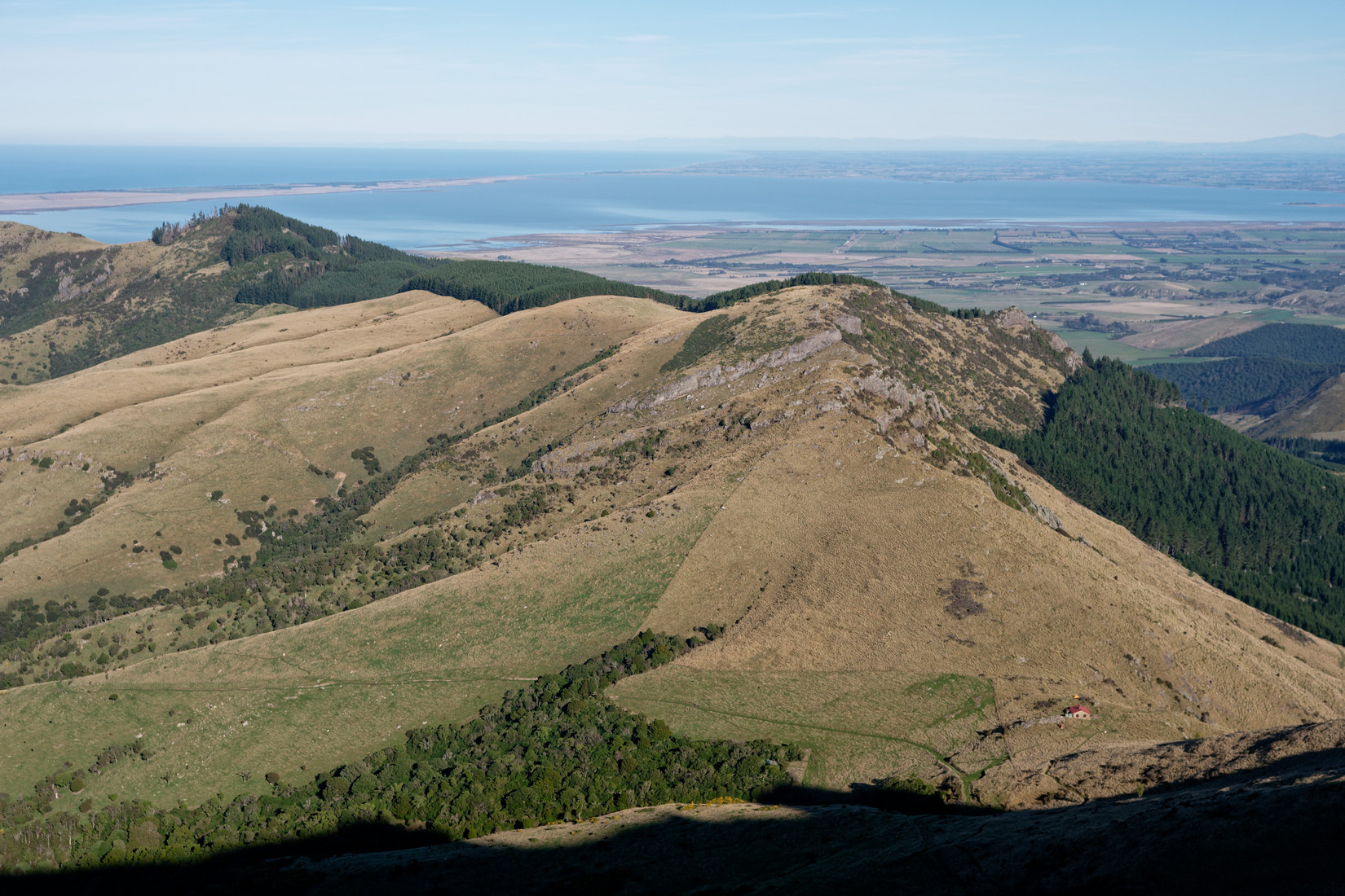
Looking back, the hut is also visible in the bottom right, Lake Ellesmere in the background
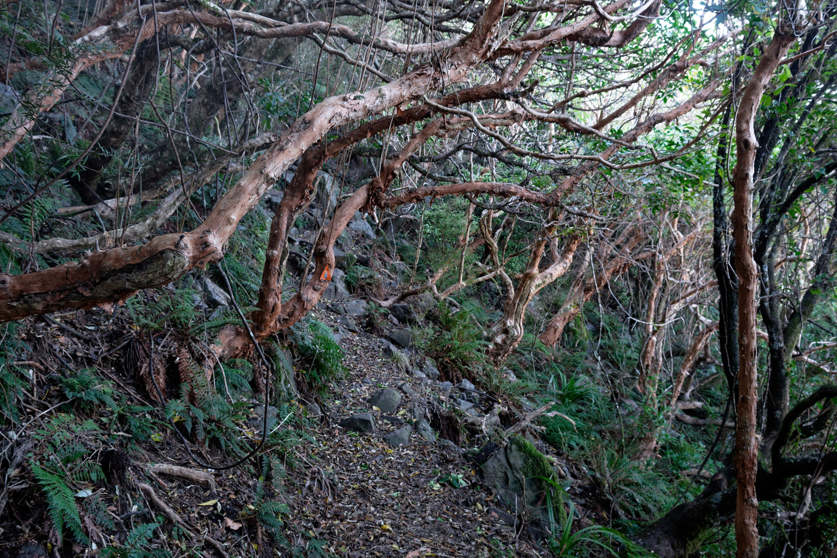
This is what I walked through yesterday in almost darkness
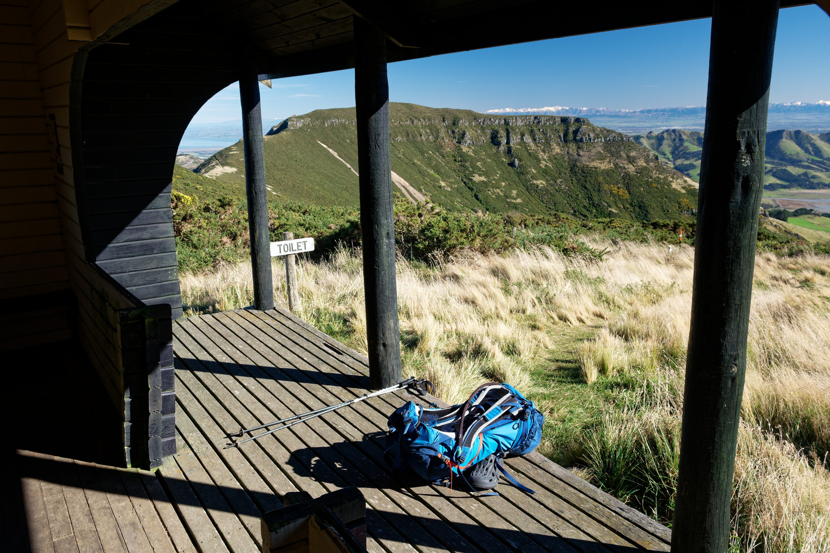
Mt Herbert Shelter, time for a rest. Mt Bradley in the background, alps in the far distance
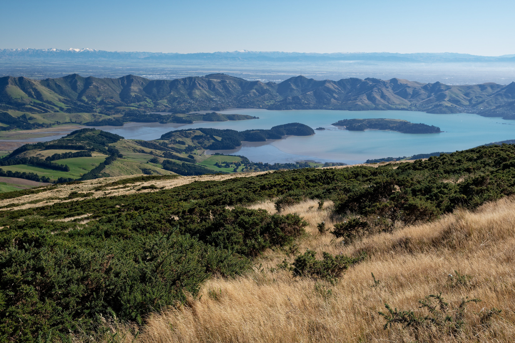
Nice view of Lyttelton Harbour, Quail Island is the island in the middle
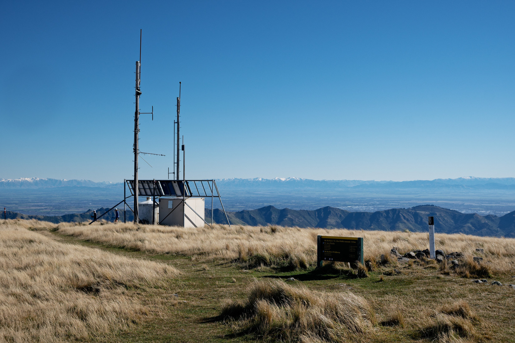
Summit of Mt Herbert again, from here on it will only be downhill, yay!
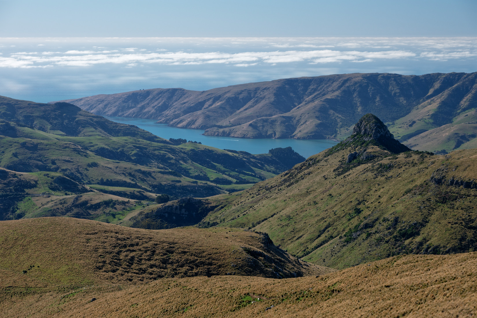
Port Levy, The Monument on the right
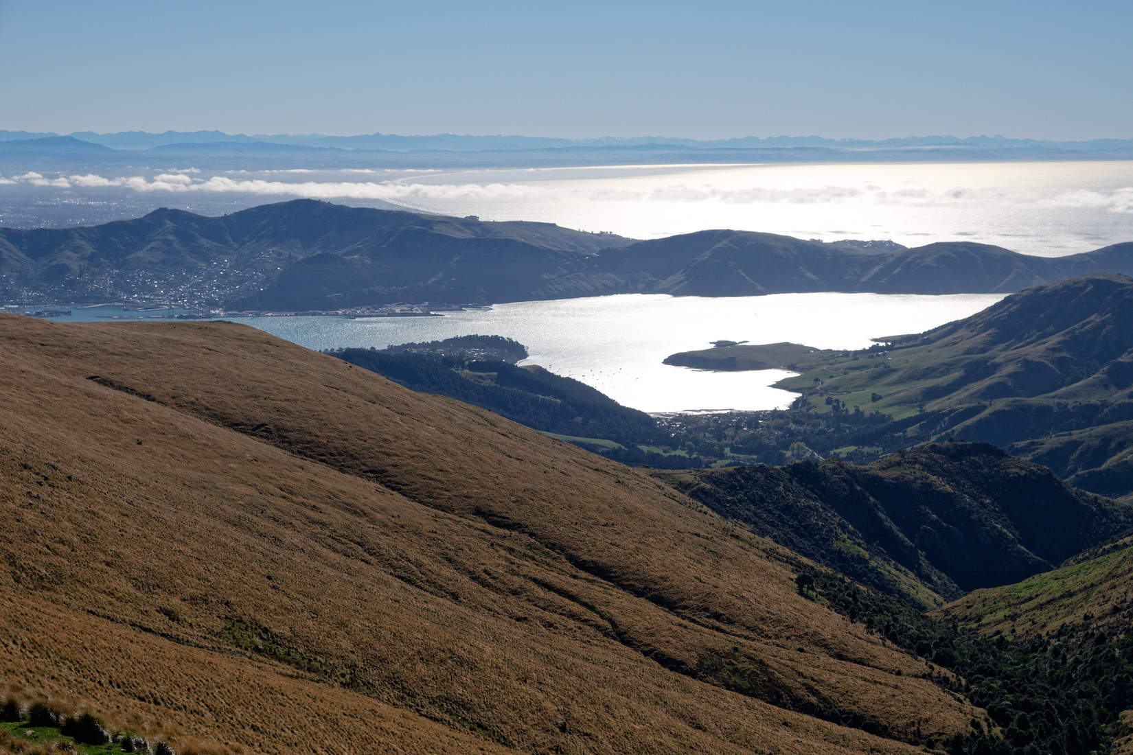
Lyttelton, Lyttelton Harbour, Pegasus Bay
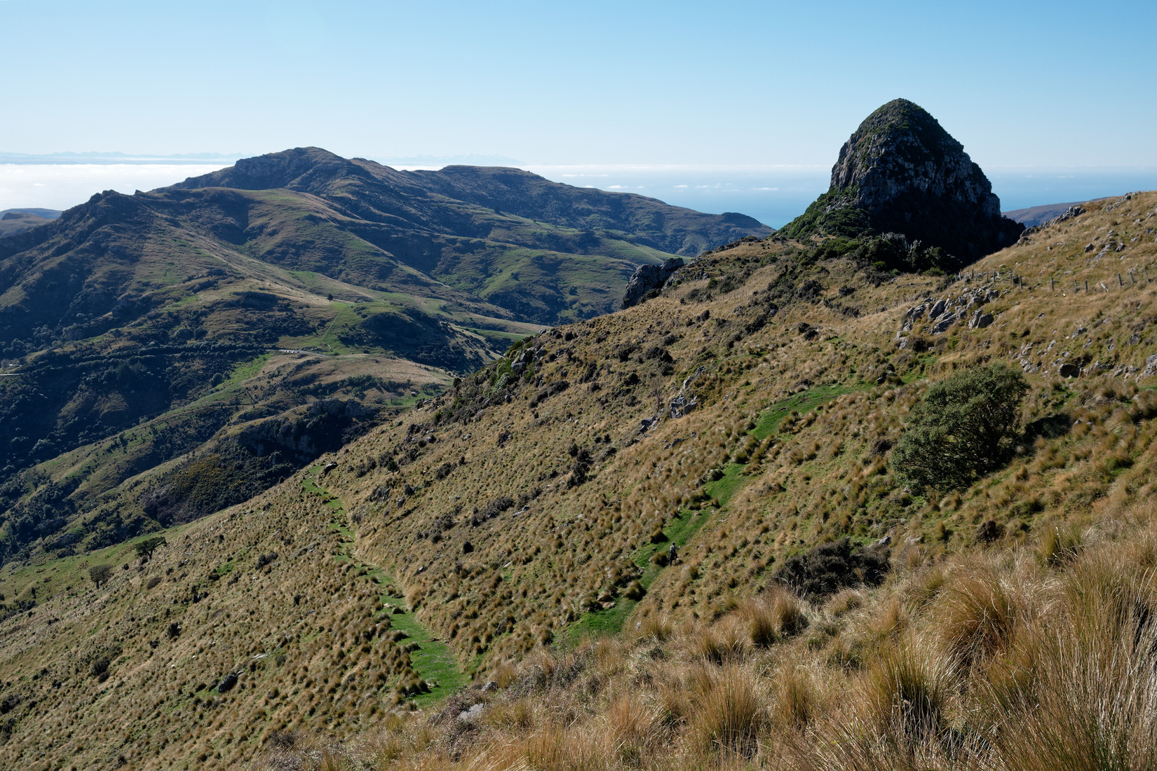
Once again The Monument on the right, on the left the road leading towards the parking where my car is parked, in fact you can see my car if you pixel peep
A little video of this morning, I didn't film much this trip as unfortunately the wind was mostly too strong to send up the drone
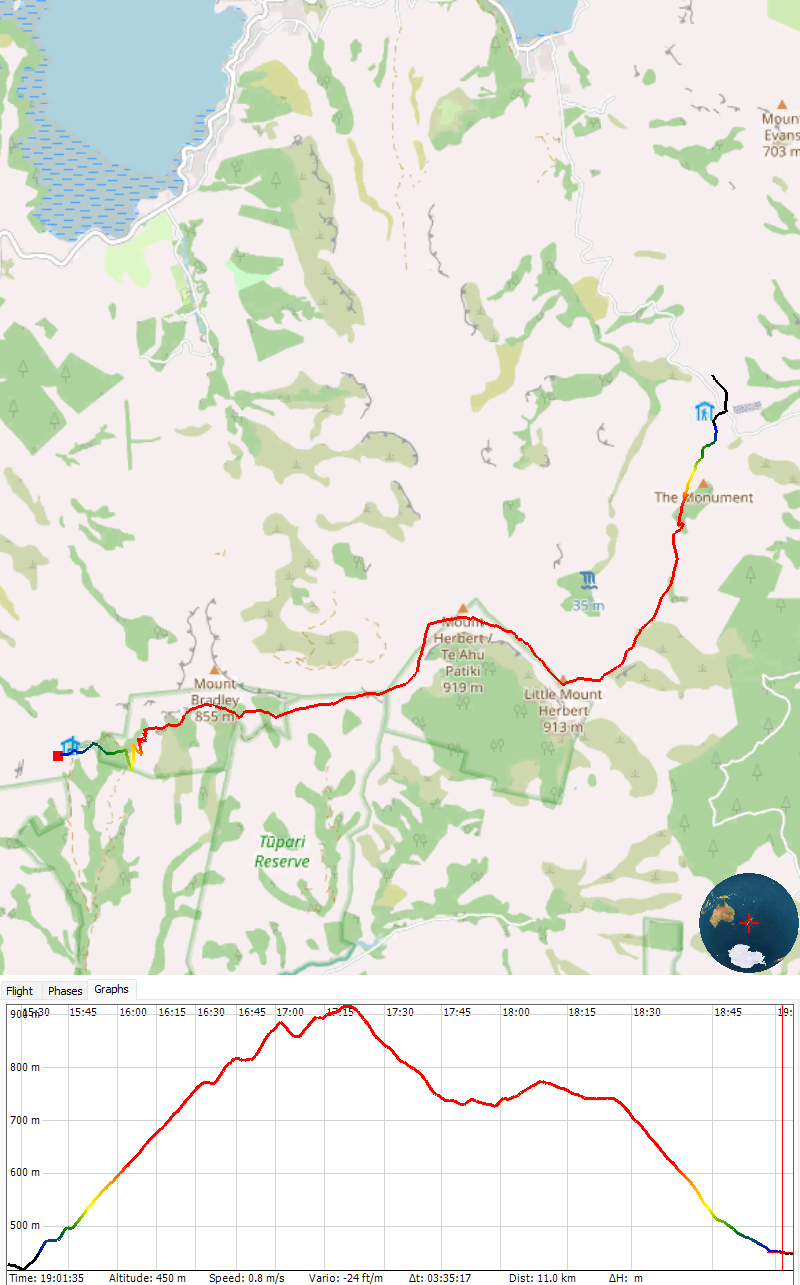
Map and height profile of the track from car park to the hut
Mooi overlandje! 😉