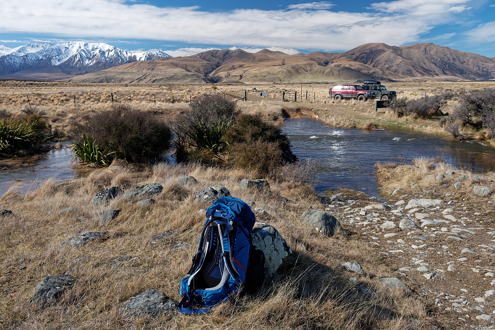
Boundary Creek Hut is on the menu for this weekend. I have been there before but using a very different route. This time the goal was to see if I could get there by 4WD because I had seen photos of 4WD cars at the hut. Unfortunately there’s only so far you can go by 4WD before reaching a little car park at a locked gate and a sign making it clear that from there on you have to walk, which is fine because of course I was prepared for this and brought all my hiking gear. The hiking track immediately starts with this nasty stream (Paddle Hill Creek) which (because I hate wet boots) means : walking through it wearing my crocks and then right here where the photo was taken drying my feet again and putting on my proper walking boots. The scenery is fantastic!
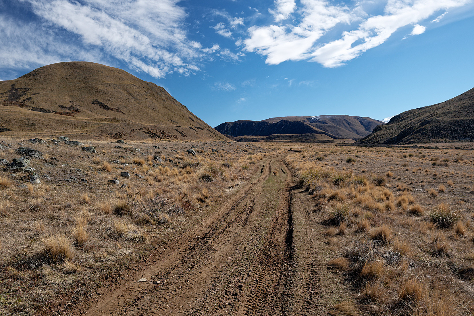
Some 9 km further down this track is the hut
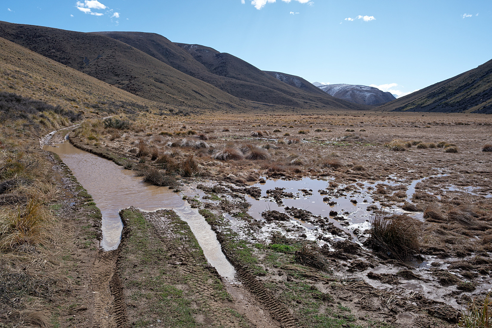
Very muddy in places
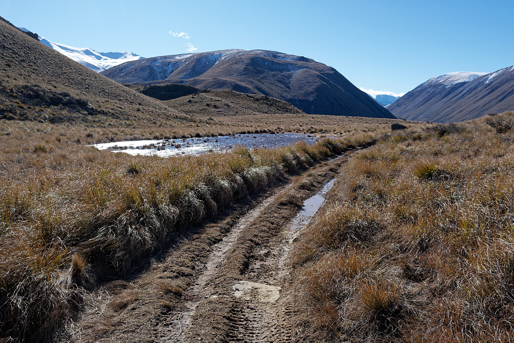
But nice views and weather
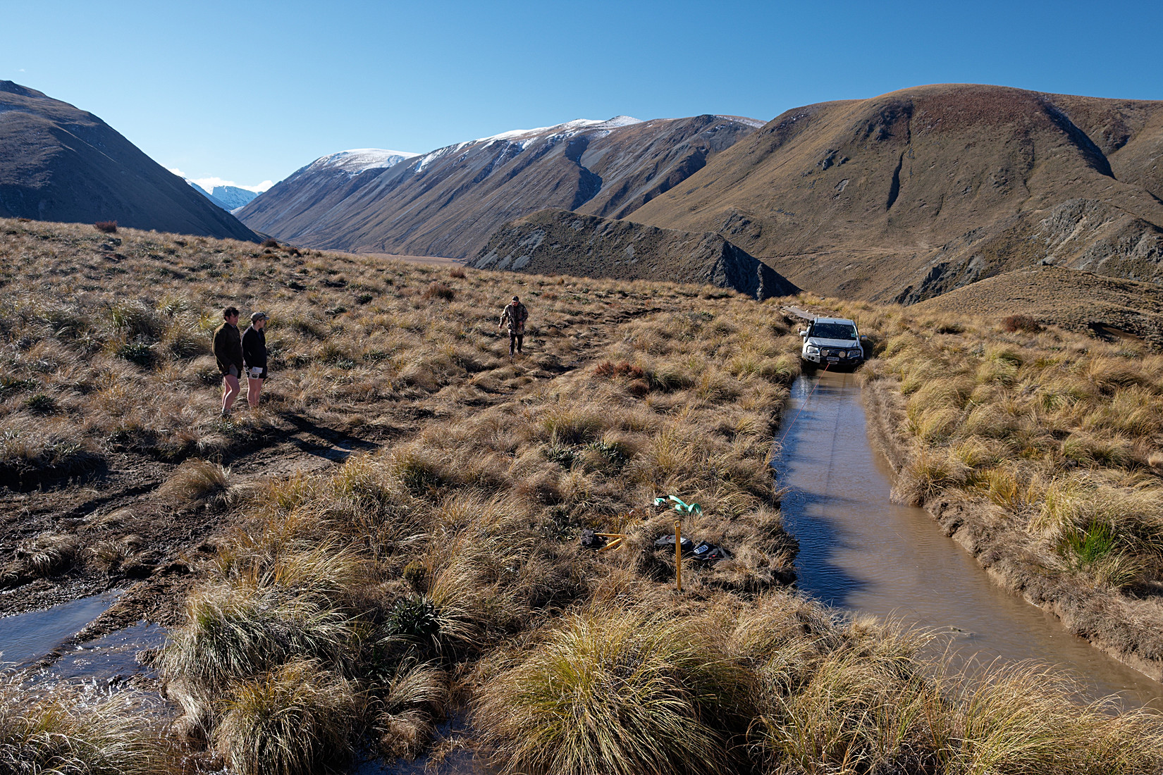
Then this scene! Some youngsters in their twenties ignored the ‘no driving beyond this sign’ and took a tiny side detour get on the 4WD track that leads to the hut. To be clear: you are not supposed to be on this track with a car. They did anyway. They were on their way back and got stuck here. Like really stuck. Oh, and they blew out the 4WD or something earlier that day, they only had 2WD left (just the rear wheels I believe). That’s not an envious situation to be in. Their car had a winch and they had a ground anchor (the yellow pole in the foreground) but trying to winch themselves towards that anchor only pulled said anchor out of the ground. They were well and truly stuck in a place they shouldn’t even be. I wanted to stay and see how this would pan out but I had a hike to finish so left shortly after taken this photo
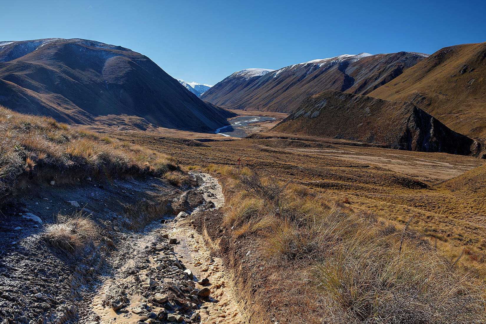
I am surprised they were even able to drive up this track with just 2WD!
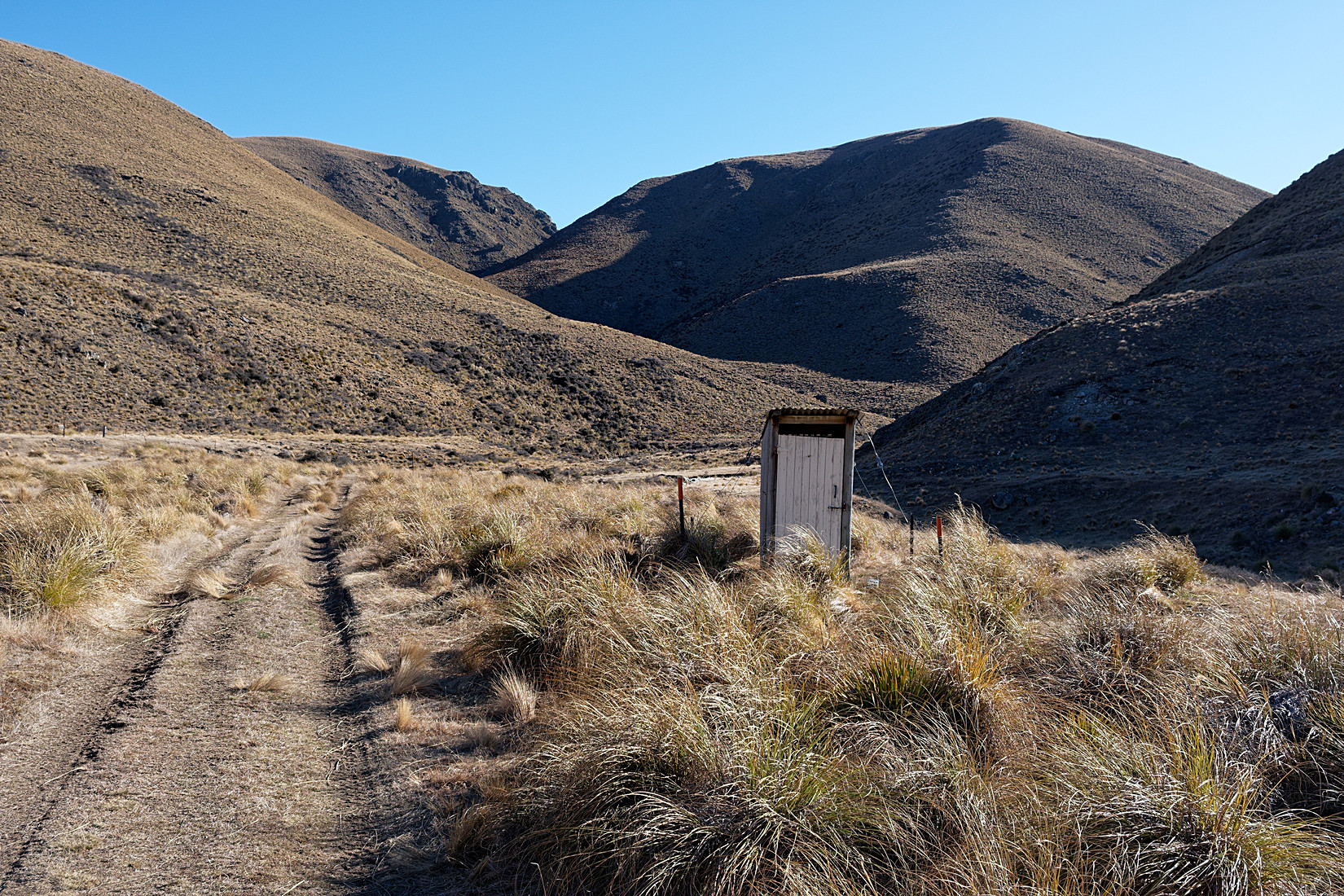
A while later suddenly there is this toilet right next to the track. How strange to have a toilet here.
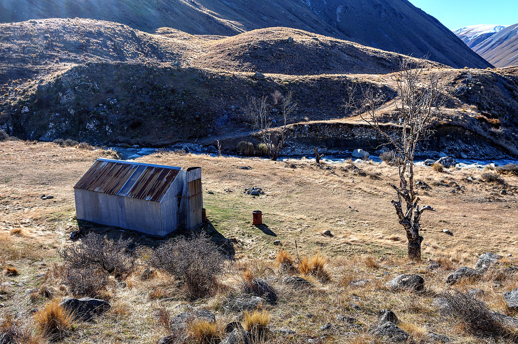
But what I couldn’t yet see when I took the photo of the toilet above is that the hut is just down the hill. Awesome, that means I made it.
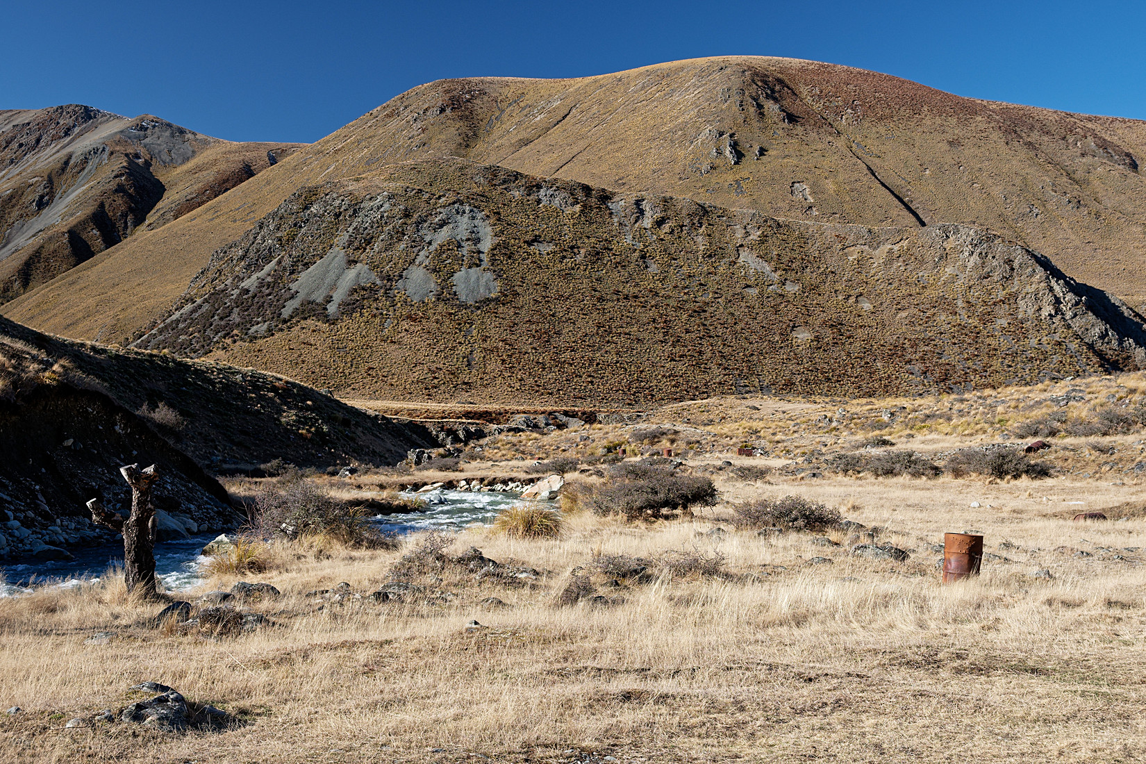
The creek that will provide me with some yummy fresh water.
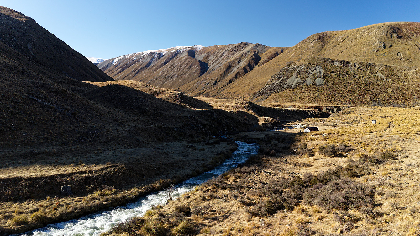
Drone shot, hut and toilet in the middle to the right, soon to be hit by the shadow of the mountain
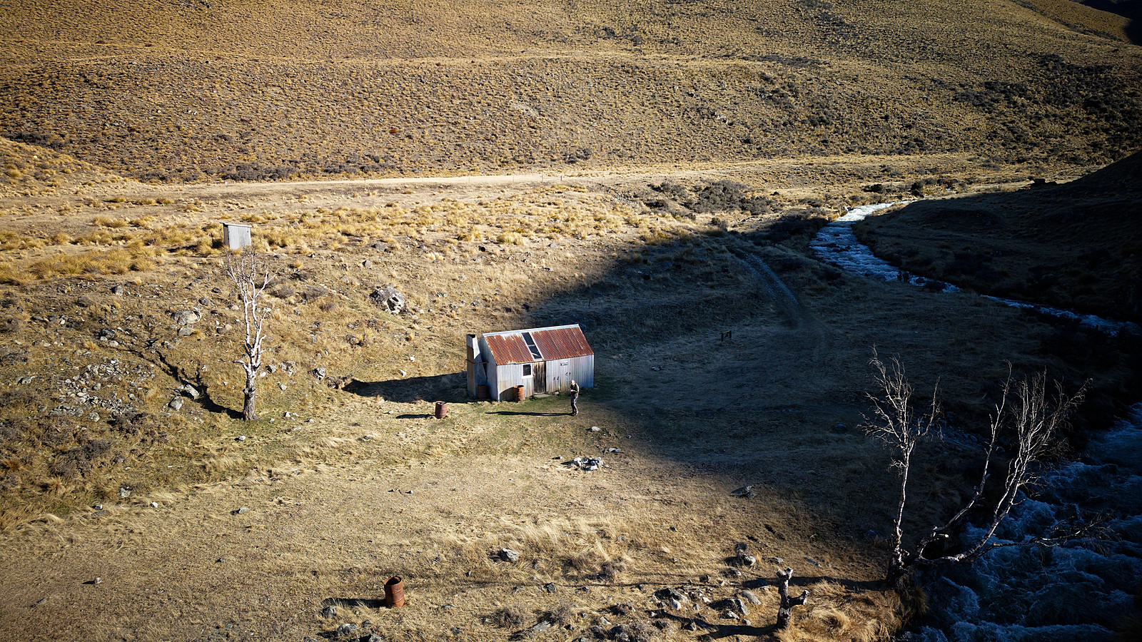
I was just in time to send up the drone and take some footage of the hut in sunlight, 5 minutes later the entire area in this photo was in shade, it got cold quickly after that so not long after I cooked a meal and got in my toasty warm sleeping bag
A little video as well
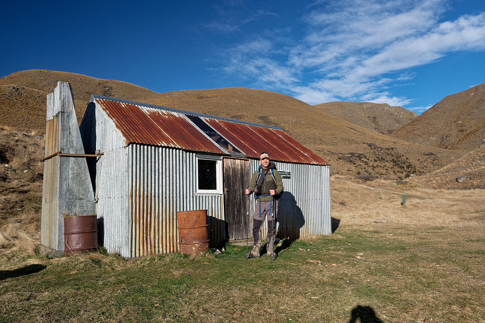
I went to bed early last night and way after dark some hunters arrived late after a day of hunting in the area. Great, that means someone can take a photo of me. So this is me, Sunday morning, ready to continue my hike, the long way out, should be about 17 km today
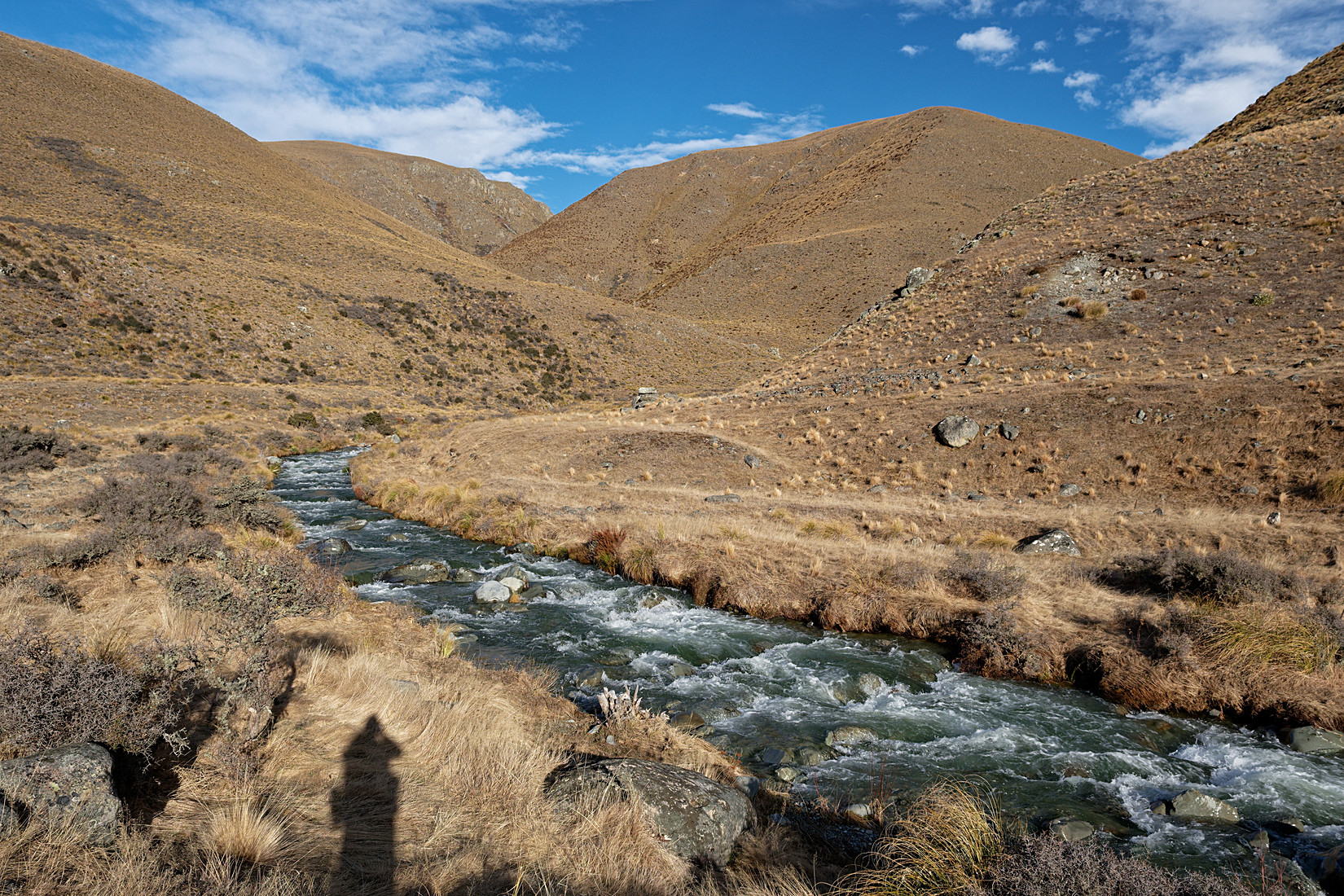
Today’s hike leads me over those mountains
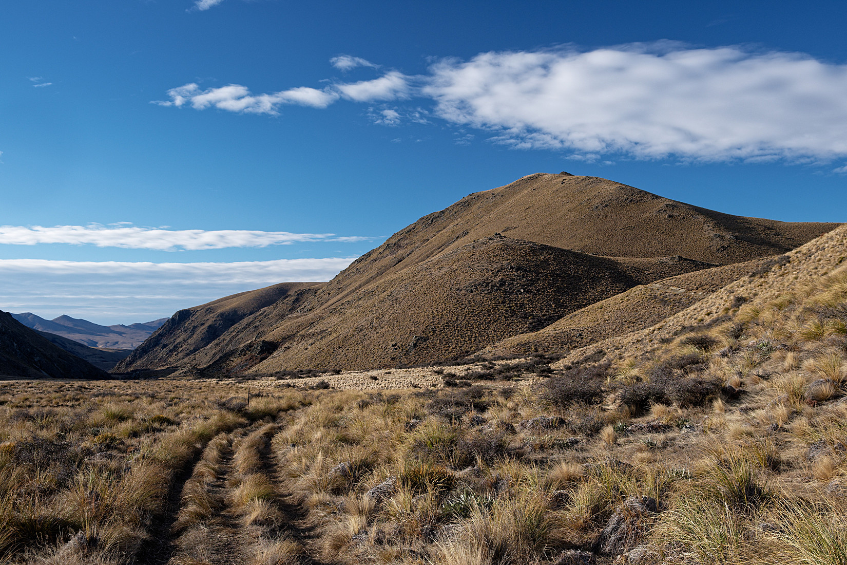
About halfway up the mountain, looking back
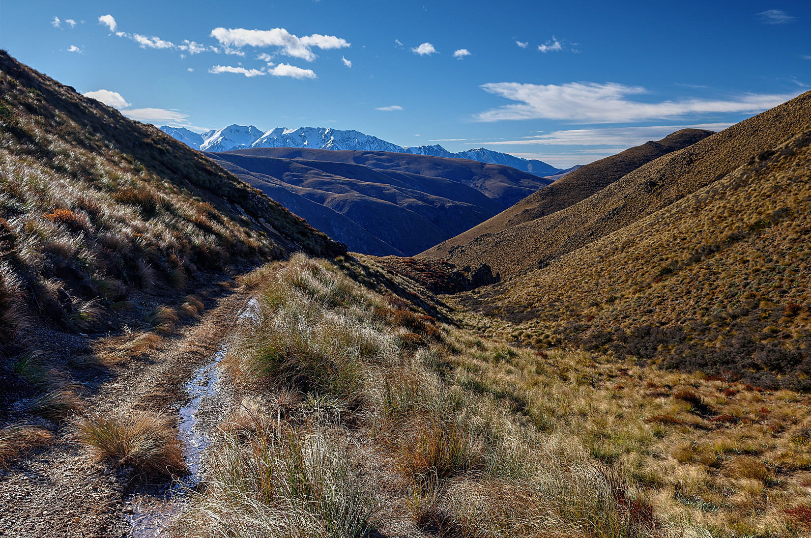
A while later, also looking back, which at this point is more interesting than what’s ahead of me
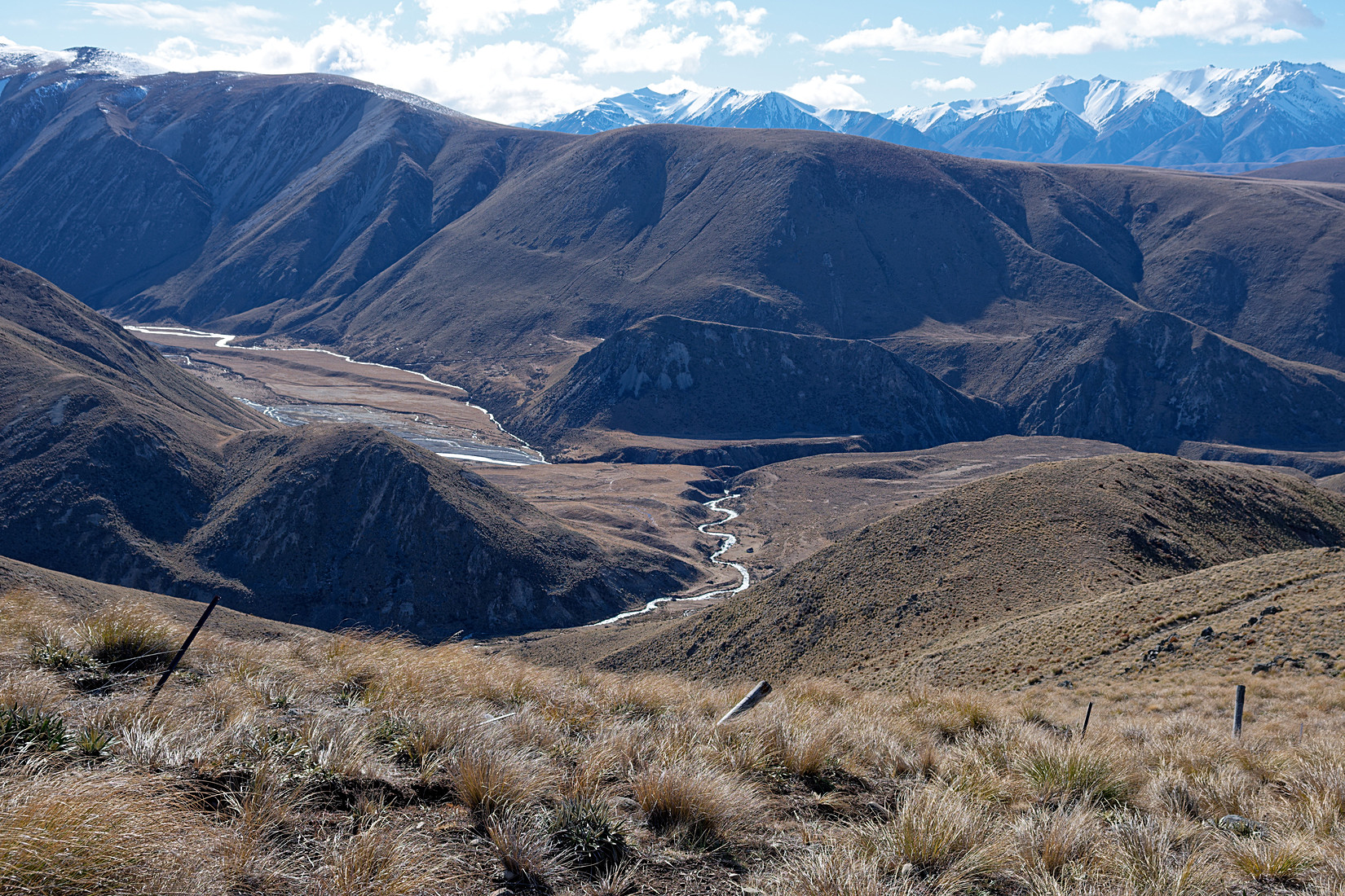
Near the middle of the photo you can see the hut I came from, just to the right of the meandering stream
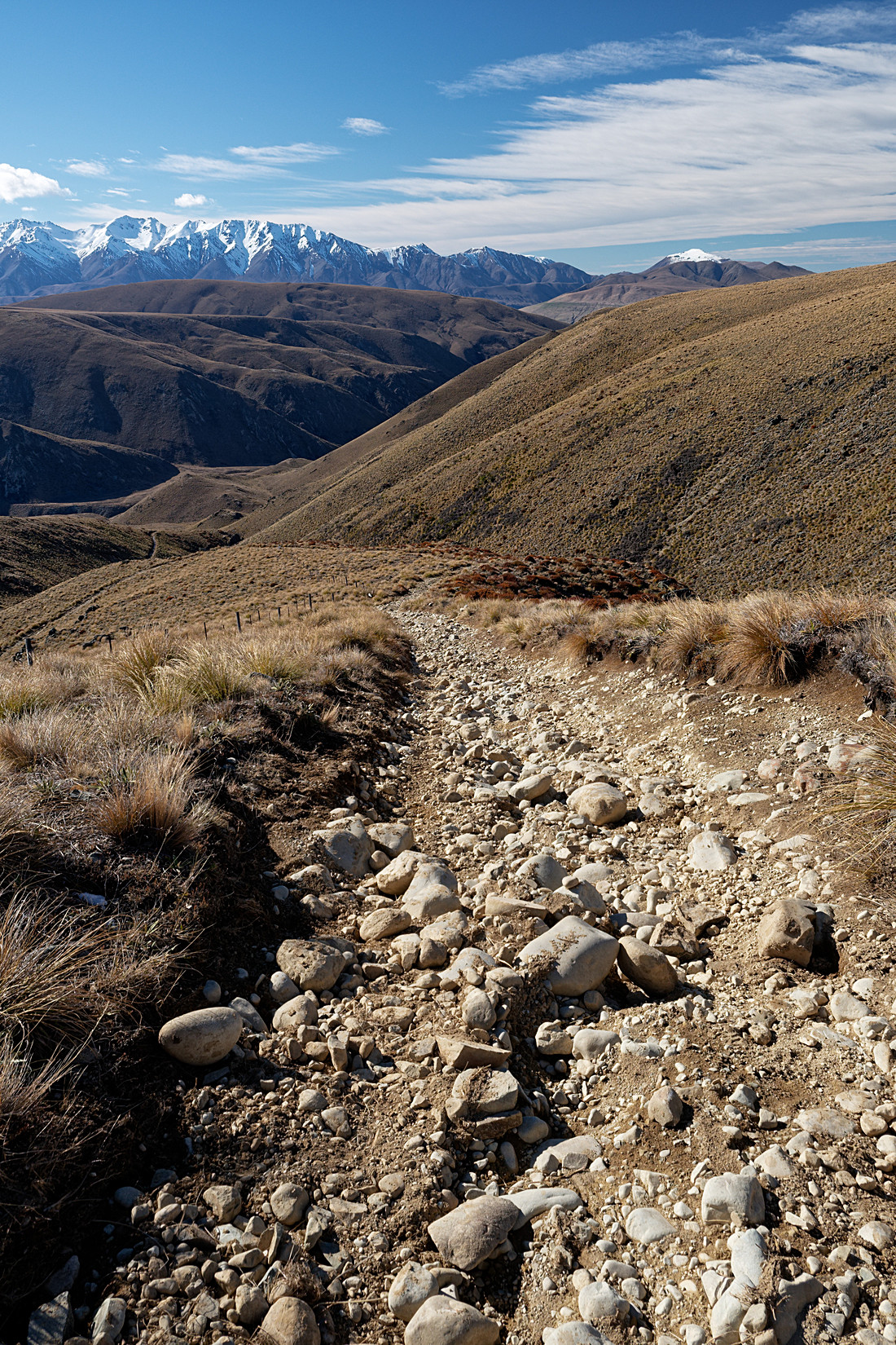
Looking back again, the track up is steep and slow going
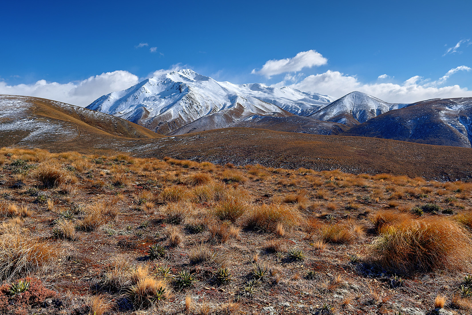
Mt Potts
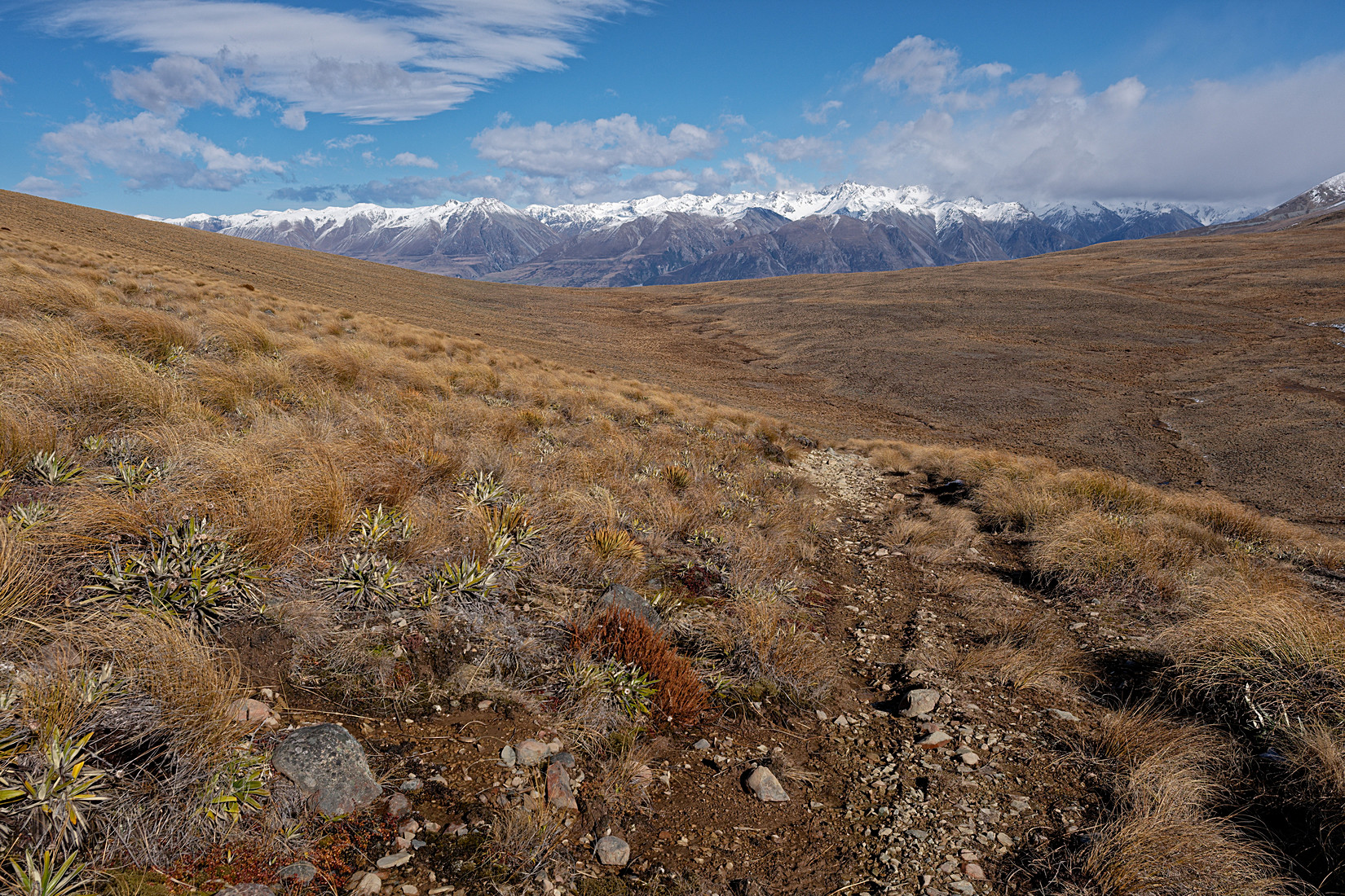
I am now on the Mystery Lake Link Track, Two Thumb Range with snow on it on the far side of the valley
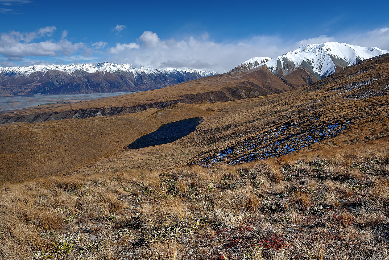
From left to right : Two Thumb Range, Mystery Lake, Mt Potts
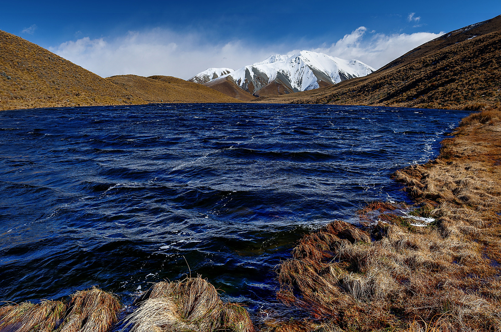
Mystery Lake. Nobody knows why it’s called that way. It’s a mystery. Mt Potts behind it
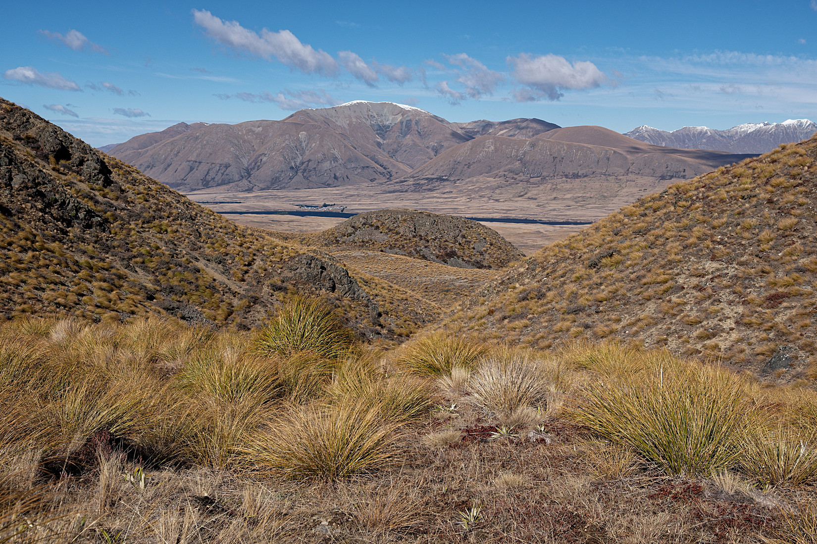
I took a left at Mystery Lake and am now following the Mystery Lake Track clockwise and descending towards Lake Clearwater
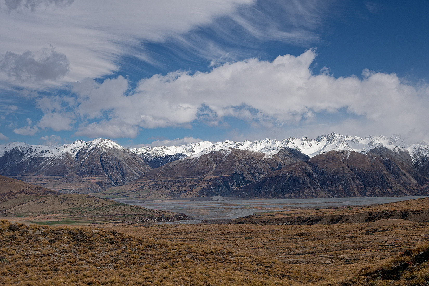
Ben Mcleod Range, Tara Haoa Range, Rangitata River in front of it
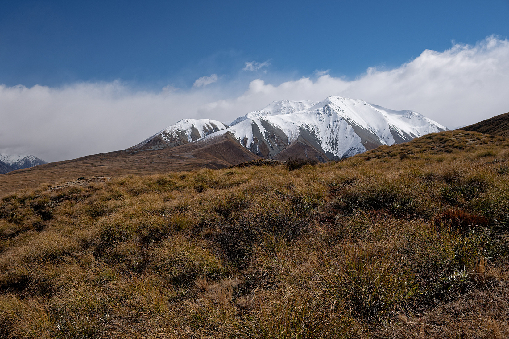
Once again looking back at Mt Potts, some nastier weather is coming in
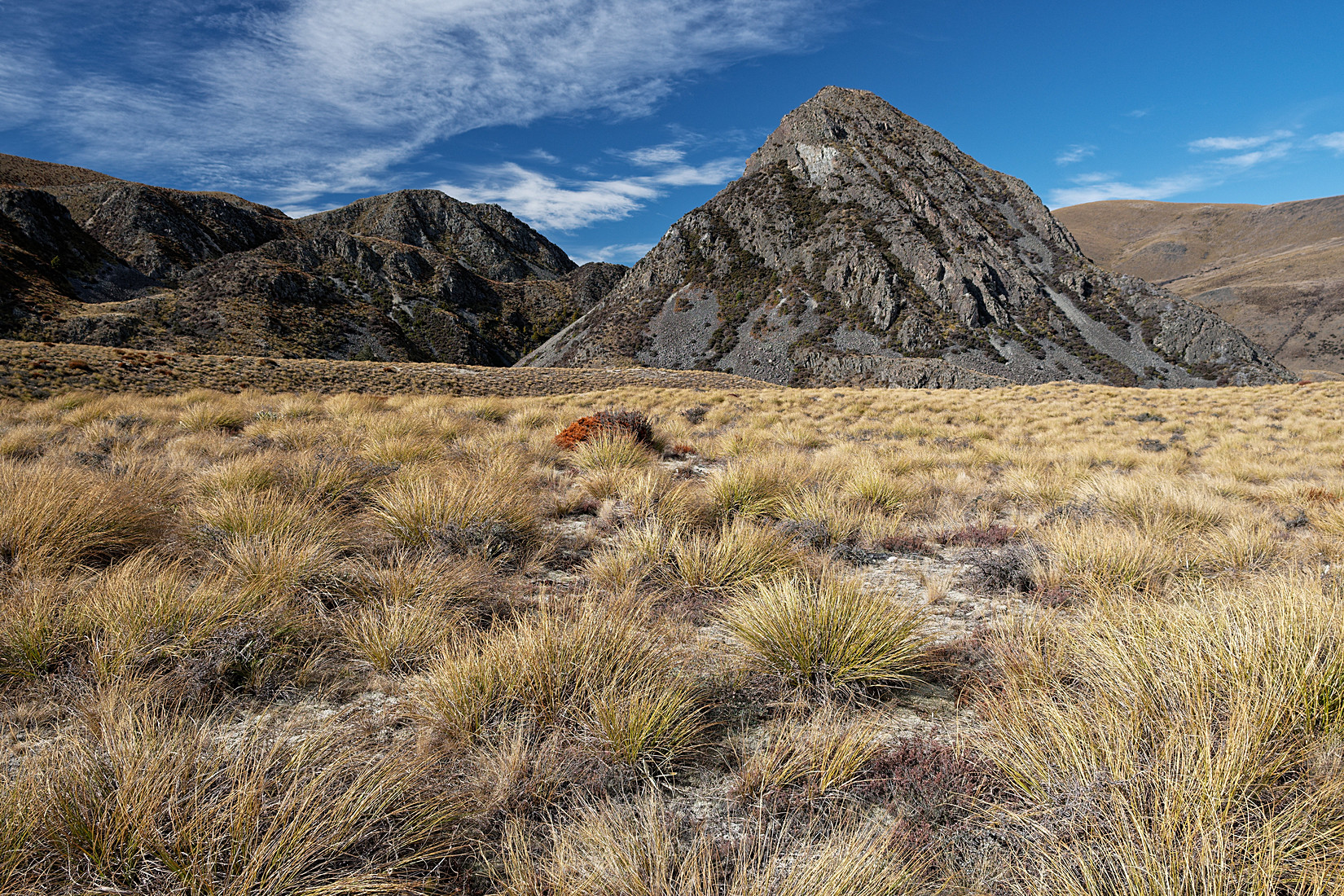
I am now almost on the Te Araroa Trail, the weather towards where I’m heading looks good. Interesting landscape
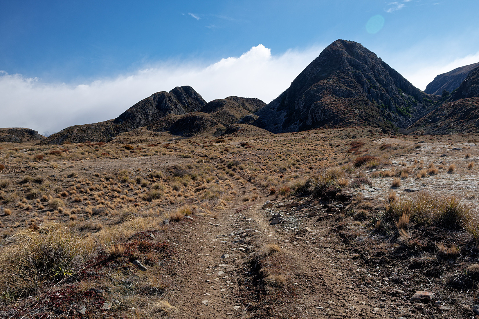
Now on the Te Araroa Trail, going due east, looking back to where I came from, you can see that southerly coming in
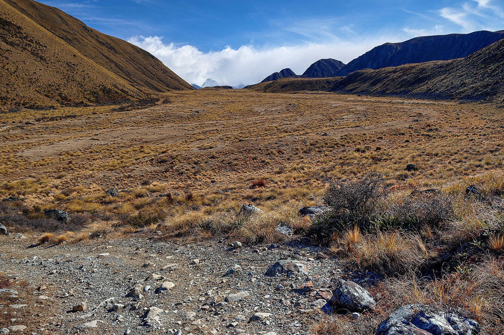
Looking back again, this is the valley floor directly north of Mt Guy
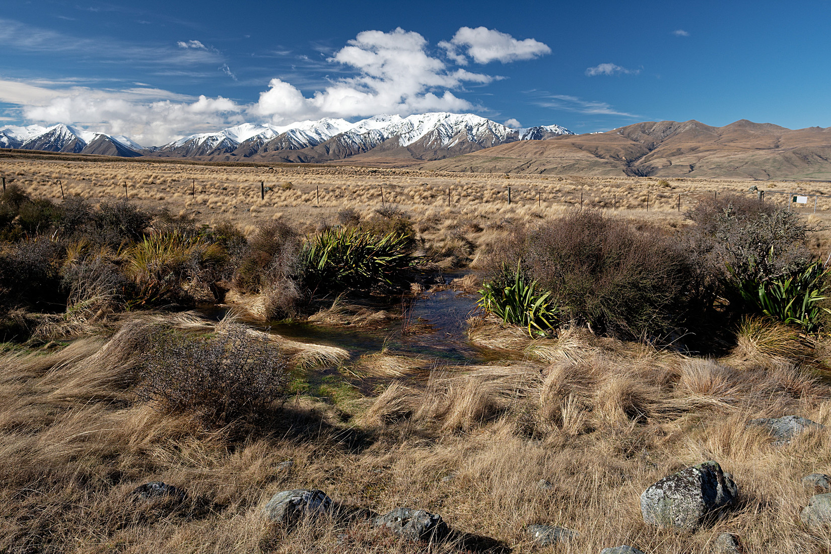
And I am back at that stream just beyond the car park. So right after taking this photo I put on my crocks again, and walked straight ahead, only to lose my footing, slip, and end up falling in the creek, camera bag completely under water, backpack under water, clothing soaking wet and cold. Damn! I get up again walk out on the other end and walk the remaining 10 meters to my car. Luckily my camera bag is a high quality one, despite it being fully submersed for a few seconds no water came in at all and everything in my backpack stayed dry as well. Phew! It’s a good thing I had some spare clothing in the car as well. Anyway, that was another interesting hike.
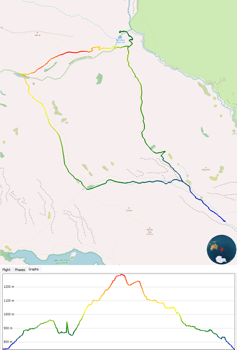
Map and height profile of the track. I started and ended at the bottom right (blue) and walked the loop counter-clockwise. First day was 9 km, second day 17 km