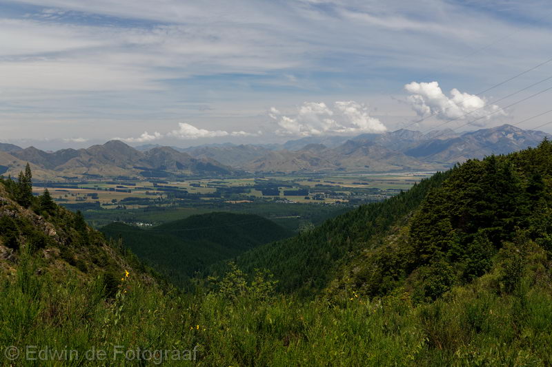
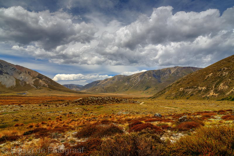
We’ve got 3 days for a little trip, I look on NZ Topo Map and end up with the St James Conservation Area as a destination. We took Jollies Pass at Hanmer and stopped here to have a look. The mountains to the right in the distance (Shale Peak) is where I often fly to from Springfield
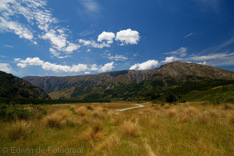
Tophouse Road, looking east towards the Hanmer Range
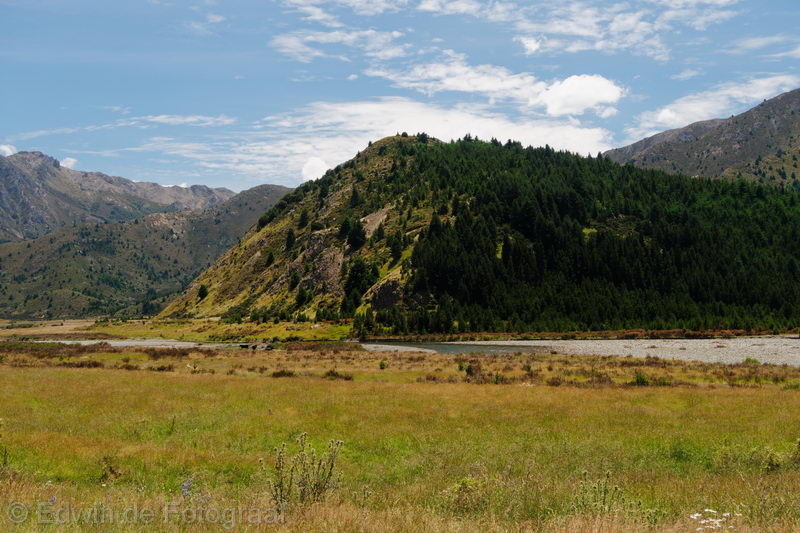
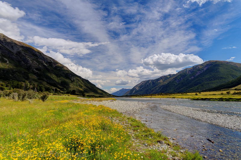
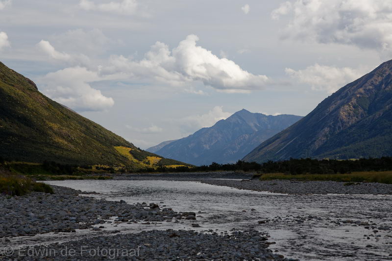
The river is the Clarence River
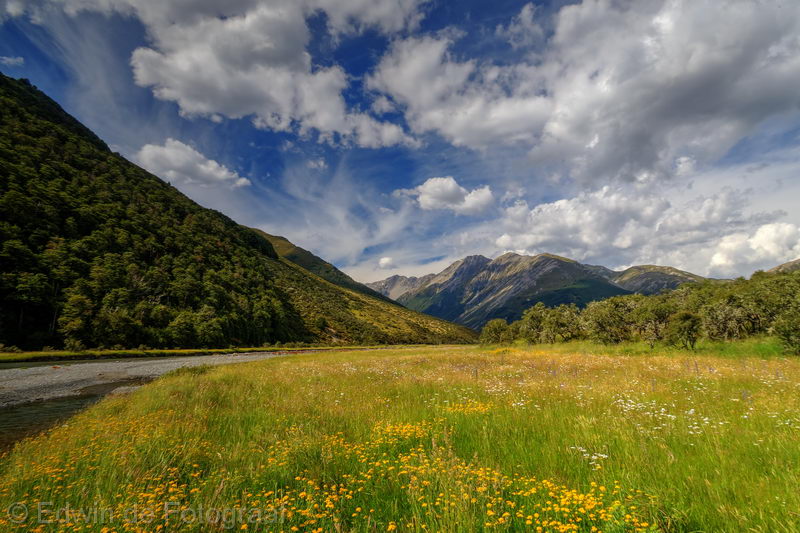
Good decision to come here
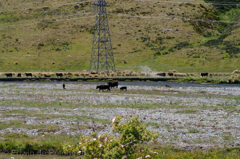
Just a shame that cows are wading through the water and of course doing their thing in there as well, so much for NZ’s 100% PURE image
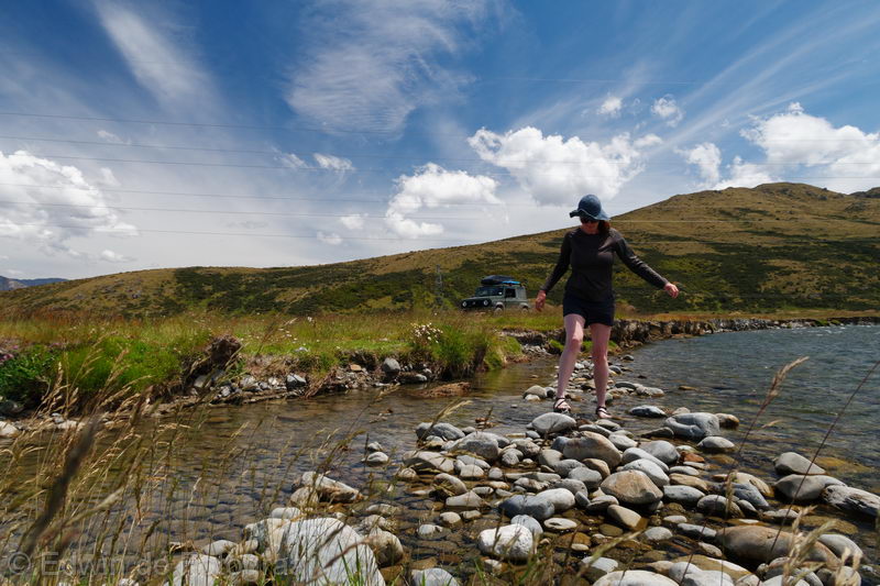
The water temperature is lovely though
And the views are great
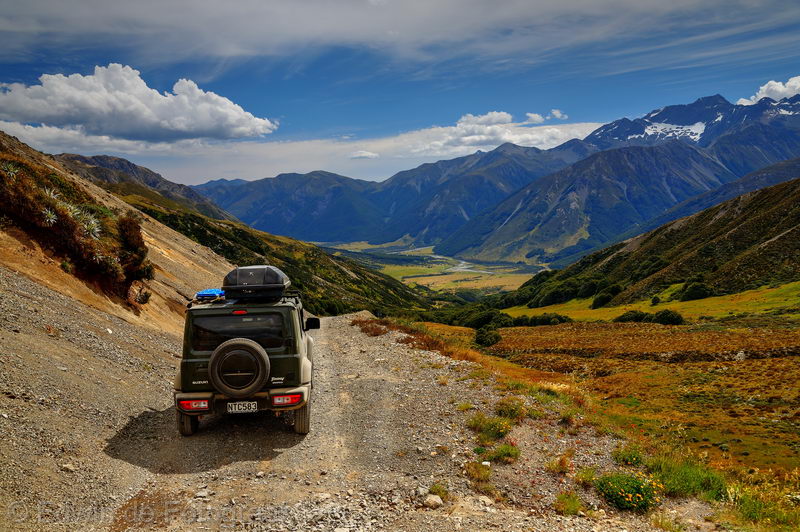
This would be an awesome spot to camp, but not today, we still have the Maling Pass to do
On the St James Cycle Trail here on our way to the Maling Pass
We’ve just made the pass and this is where we’re headed
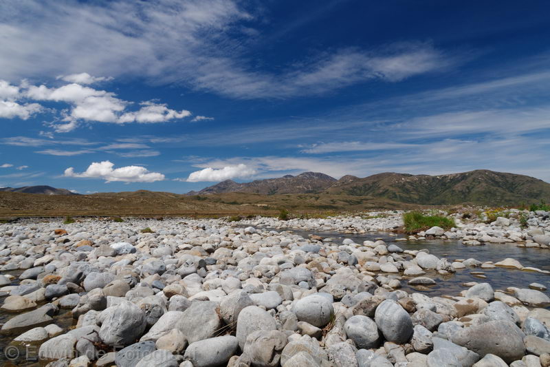
The Waiau Uwha River
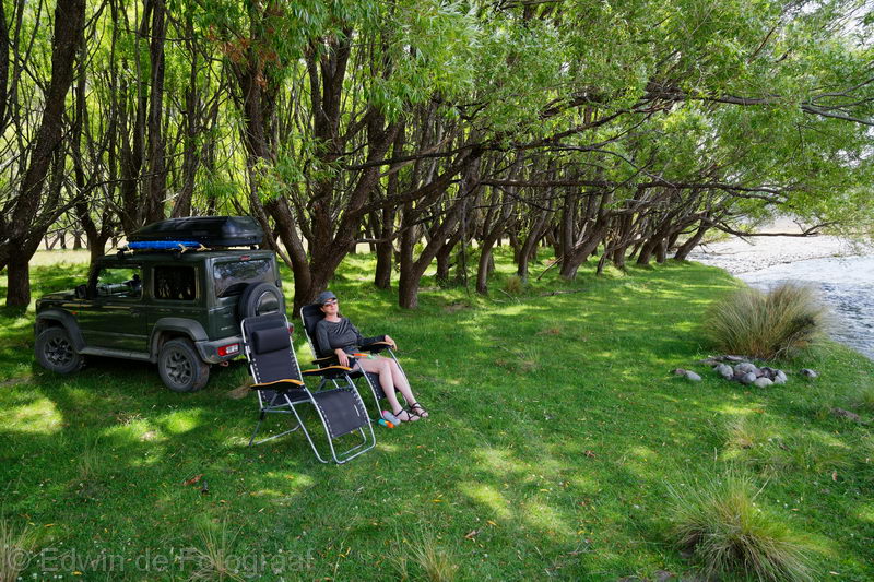
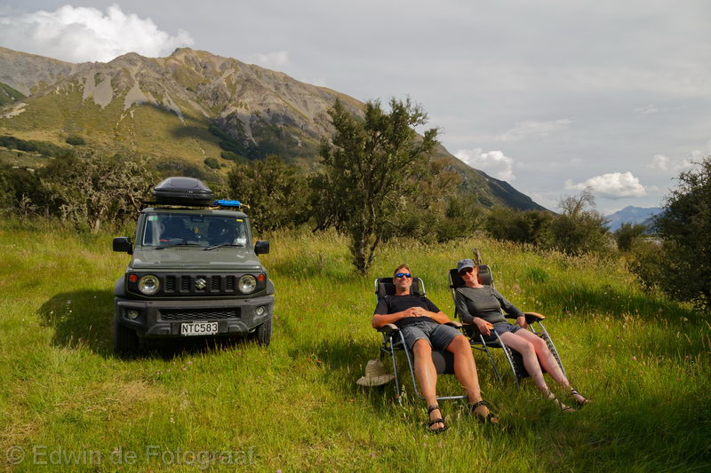
This is the area where we’re staying and also the area where the Waiau Pass Track meets the St James Cycle Trail
The view south, I think that peak is Yanks Hill
Enjoying the last rays of sunlight
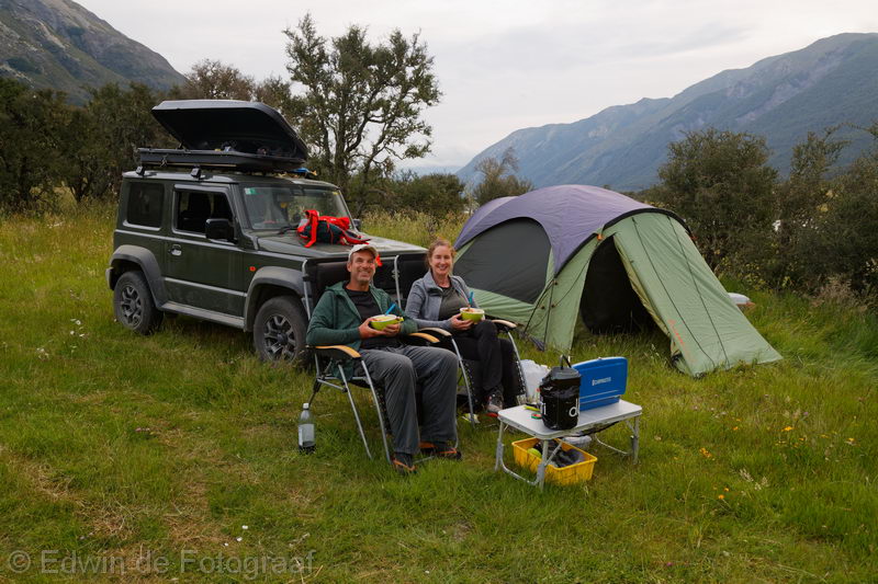
The sun has disappeared behind the mountains now, the sandflies on the other hand have appeared so despite the warm weather we’re fully clothed and covered in insect repellent so we can enjoy our meal in peace
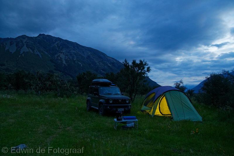
Good night!
A litle video of today
Yay for the mini breaks. Nice pics especially 9 an 10 down
Zit je nou expres door de modder te rijden Ed? Vandaal!
Een echte doerak.