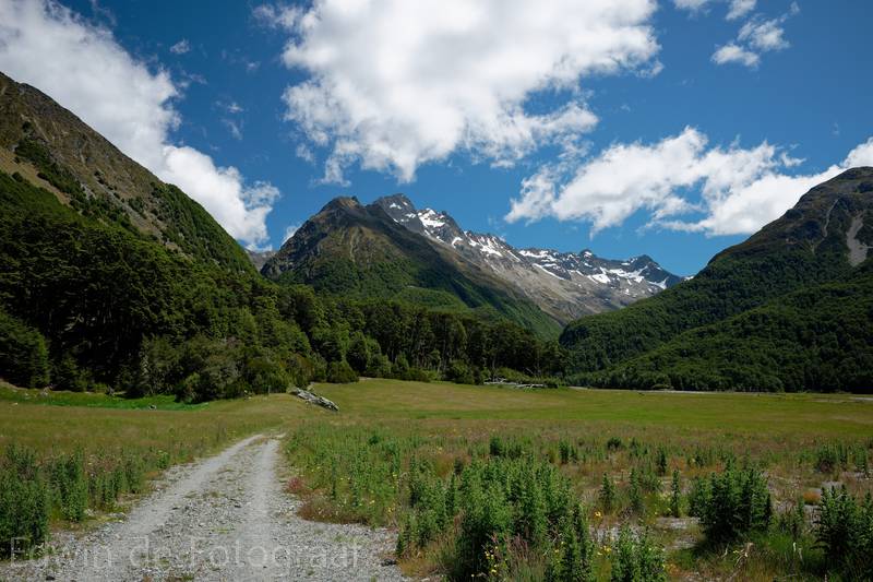
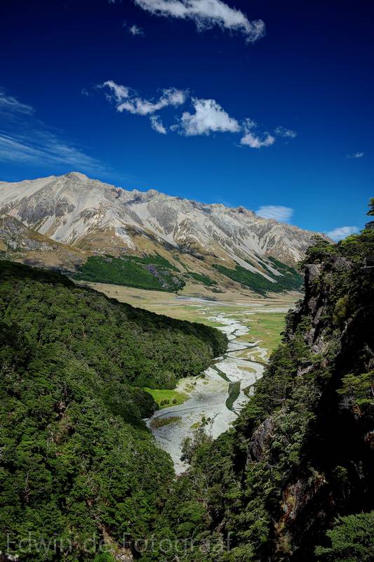
Gliding is not supposed to be very interesting today so Carl, a few hang glider pilots and I decide to walk to Canyon Creek Route in the beautiful Ahuriri Valley
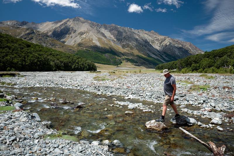
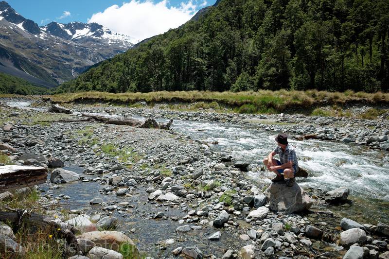
André (of Dutch descent) trying to cross this little stream without getting wet feet
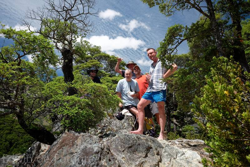
The highest point of the Canyon Creek Route, from left to right: Jeff, John, André, me, Carl
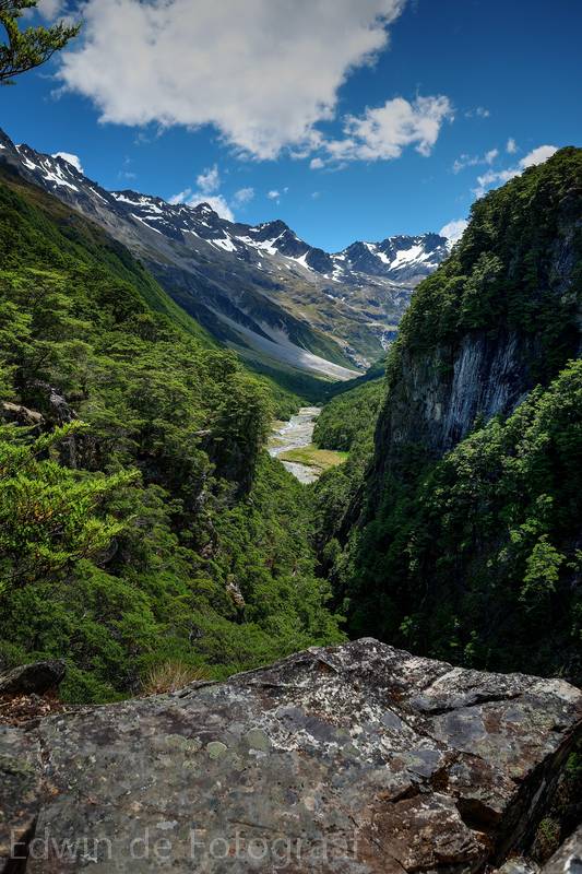
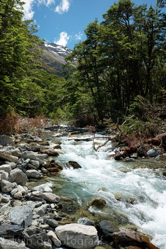
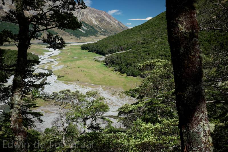
The view north, further up the creek, we decide to walk down there as well
This is next to that grassy bit in the previous photo, Carl starting to wonder if he shouldn’t be flying
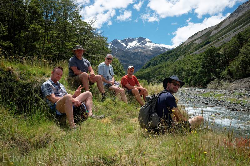
Another group photo, Mt Barth in the distance
Further upstream, Carl and André have already returned and Jeff is taking a refreshing soak in the river somewhere
Which leaves just John and me to go as far north as here, I’ve been here before
On the way back, at the highest point again, Barrier Range looking great
This is where we’ll soon be walking through again, back to the car
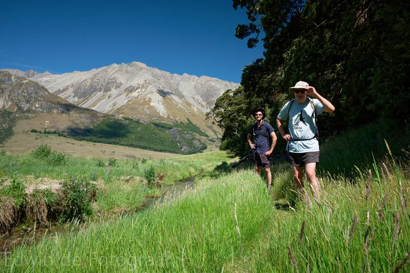
A last photo of Jeff and John before we arrive back to the car where we wondered why Carl and André weren’t there (they got lost and despite returning to the car an hour before Jeff, John and I did, they arrived about an hour later, awesome display of navigation skills!)
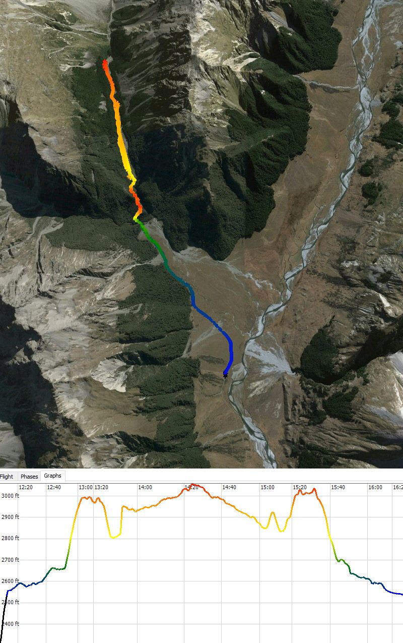
Map and height profile of today’s hike (12.1 km)
Beautiful photos! I especially like “the view north” picture. But… if anyone reading this wants to see the original photos that show a UFO – I shit you not, please ask to see them. Edwin is not convinced, but the peculiar wingless object is seen “flying” through the air and has been Photoshopped out!! I get that the pure scenery is amazing but come on! I hope you all enjoyed your day is this stunning valley.
Pingback: UFO - Edwin in New Zealand