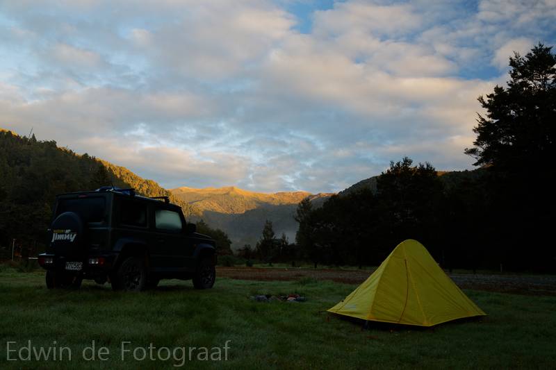
An early rise here at Andersons Flat, the start of the Moonlight Pack Track that I would love to hike sometime soon (but not today)
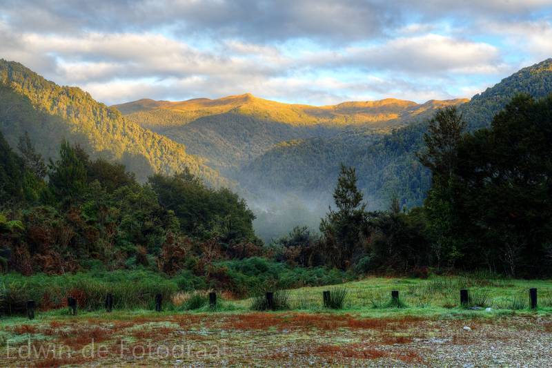
It’s still cold and there’s a lot still mist in the valley
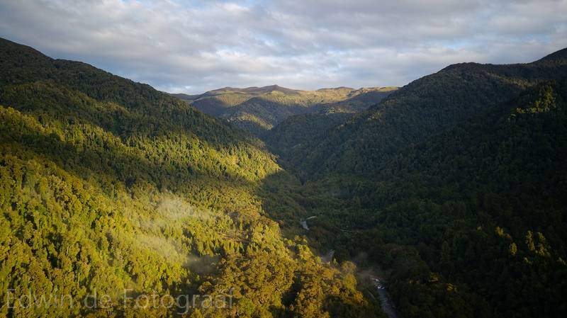
I sent up the drone for some aerial shots, the Moonlight Pack Track is basically following the Moonlight Creek up until the ridge (Paparoa Range) in the distance
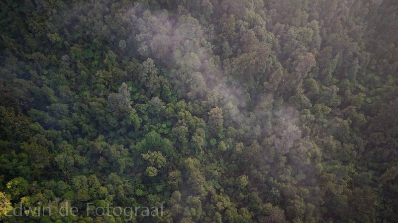
The mist is slowly dissipating here
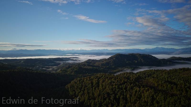
Not so much lower in the valley though
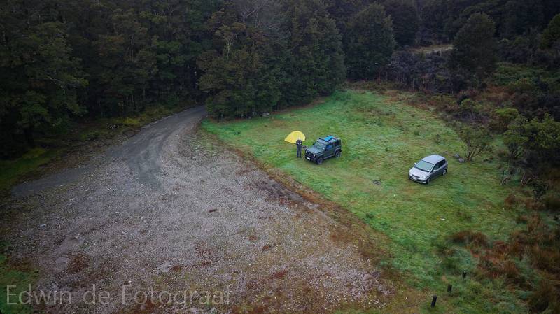
Me, my beloved little tent and Jimny and one other dude still sleeping in his car
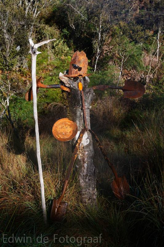
A cute scarecrow like figure made from tools like shovels that were found in this area
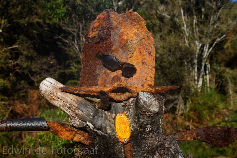
Close-up
A little video of Andersons Flat
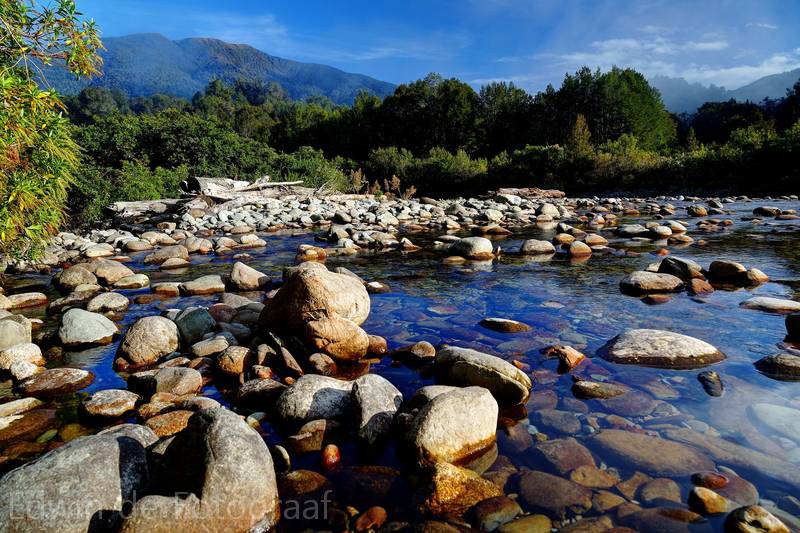
Close to where the McCarthy Creek and Garden Creek meet
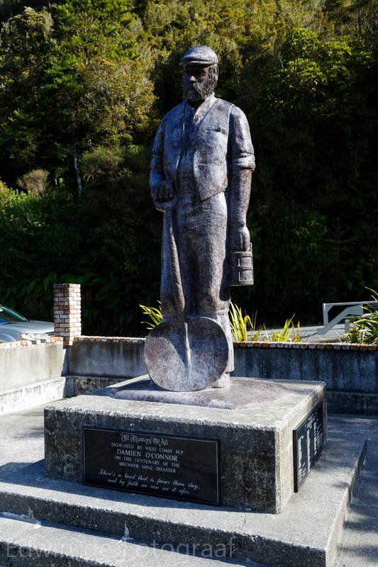
I’m in Brunner now, well known for its mine, and the mine disaster here in 1896
I’m lucky with the weather, at least so far, grey skies and rain are forecast
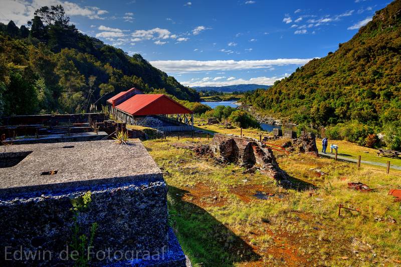
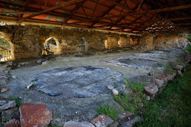
Anyway, this is basically what’s left of the gold mining here in Brunner
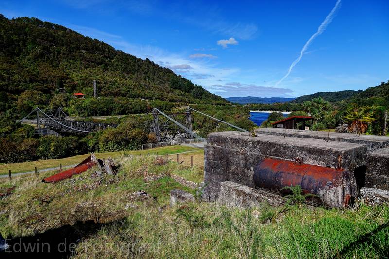
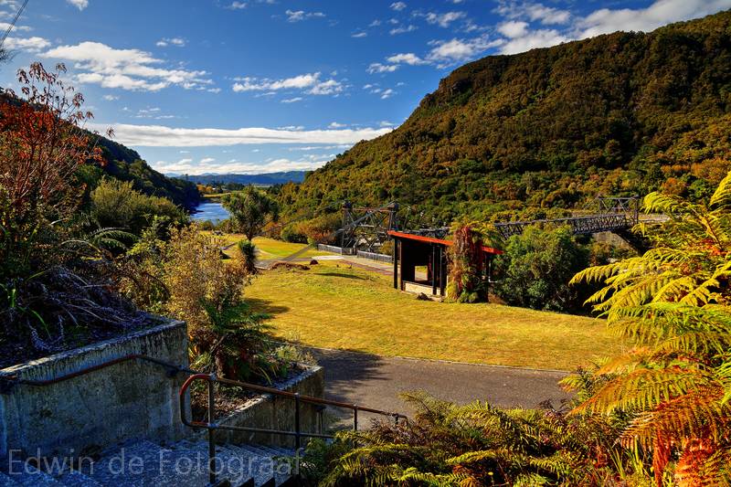
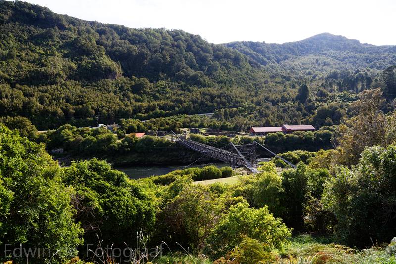
I especially like the bridge over the Grey River
There’s some short track here of which I forgot the name, this is part of the track, I’m wonder where it will take me
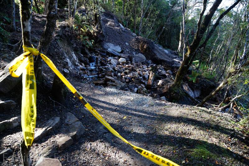
Ah, not far, the track has collapsed only 5 minutes in
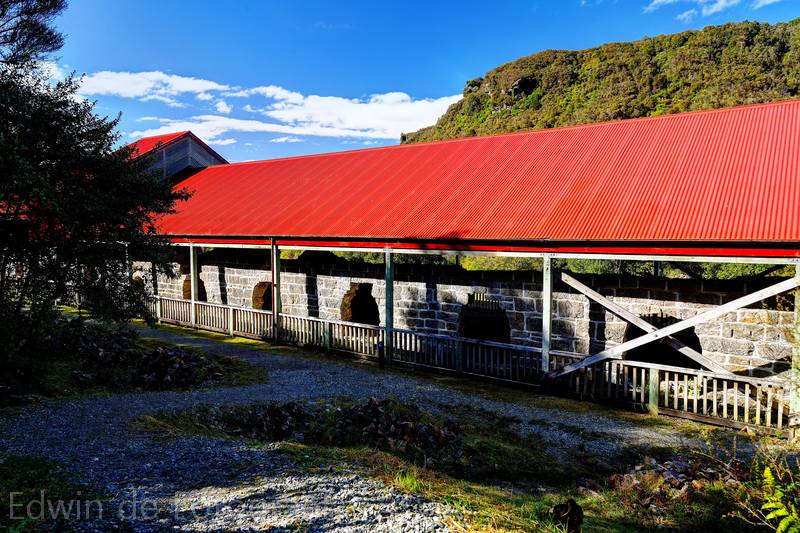
I’ll do the Brunner Mine Site Walk instead, a loop track, these are the Beehive Coke Ovens
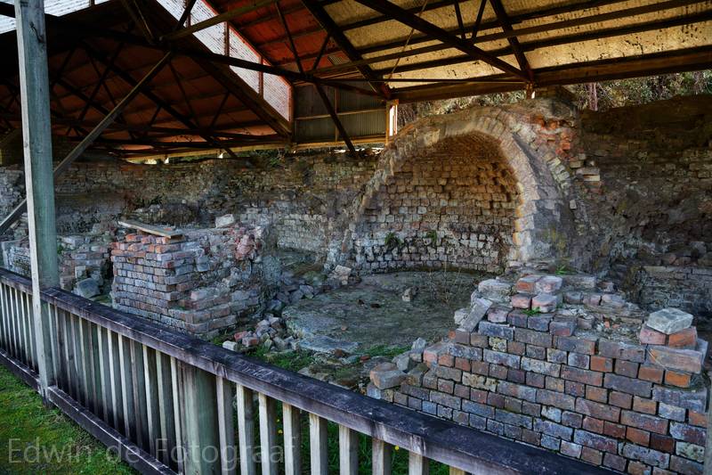
They had these special dome shaped ovens that allowed for very high temperatures, which was good for the coke, or something, I don’t remember all the details I read on the signs
There used to be a lot of these ovens here, all in series with each other for added effect, most of them gone now
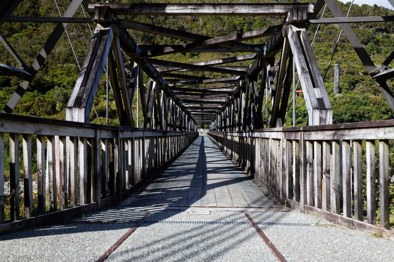
The bridge, clearly in the old days a train was able to cross the river here
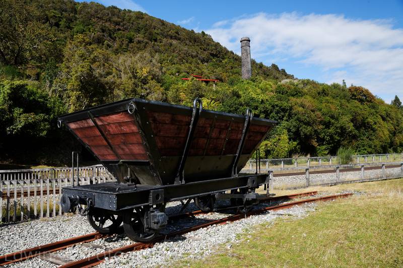
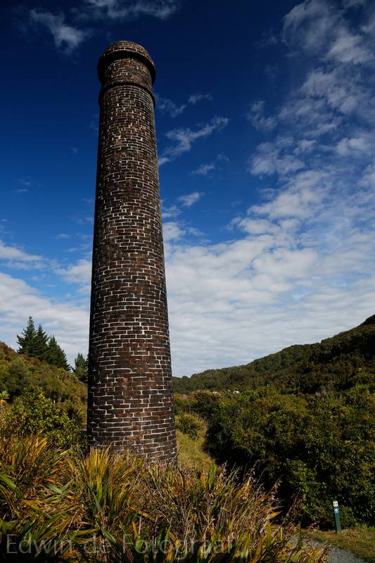
Tyneside Chimney
View towards the ovens where I was before
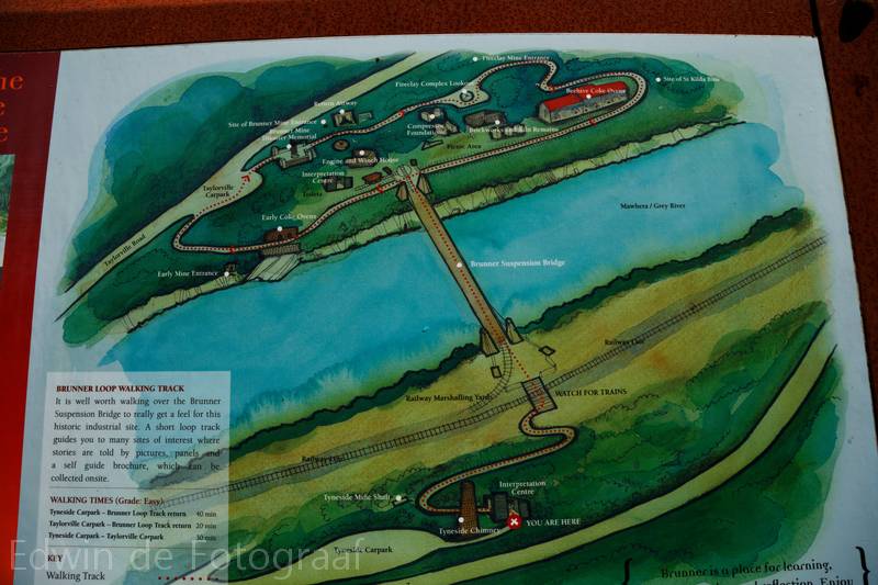
Here, a map, that’ll make it easier
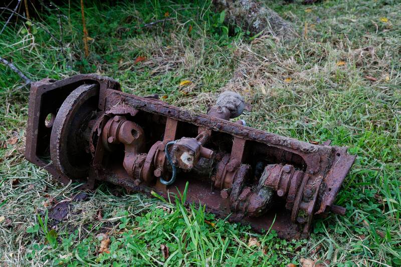
Old engine parts just lying about the place
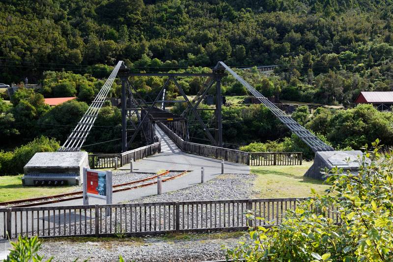
I’m always amazed they were able to build bridges like this so long ago, I wouldn’t even know where to begin making those wires
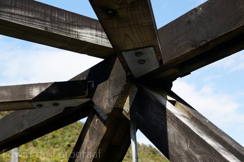
Lots of triangles
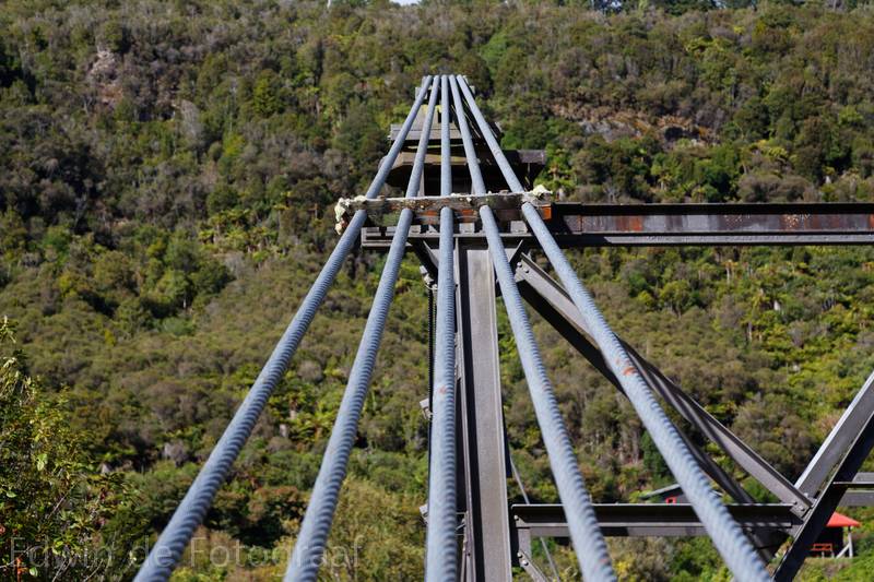
10 of these wires is enough to keep the bridge up
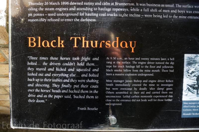
Sad stories at the Brunner Mine Disaster Memorial
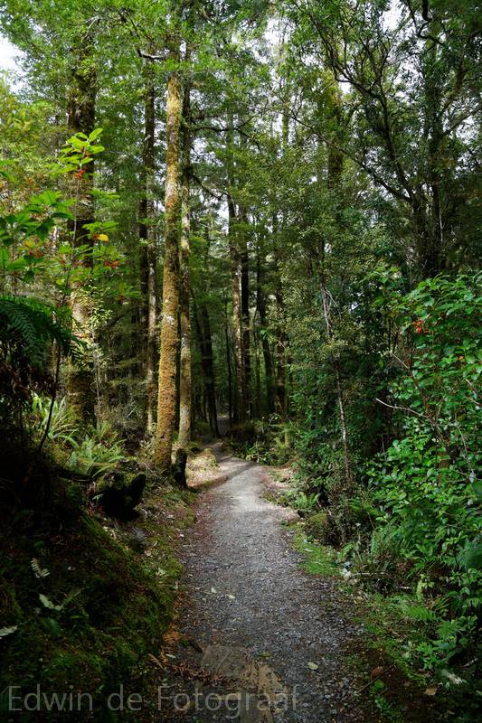
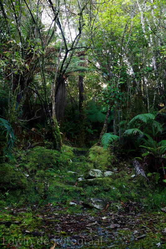
After my visit to Brunner I went to Rununga, there is a walk to some waterfall here
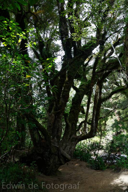
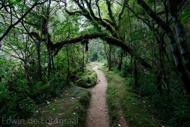
Some interesting trees and also a very pungent smell in this area, sulphur I think
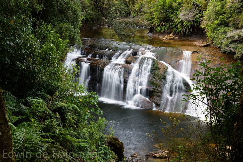
The Coal Creek Falls from above
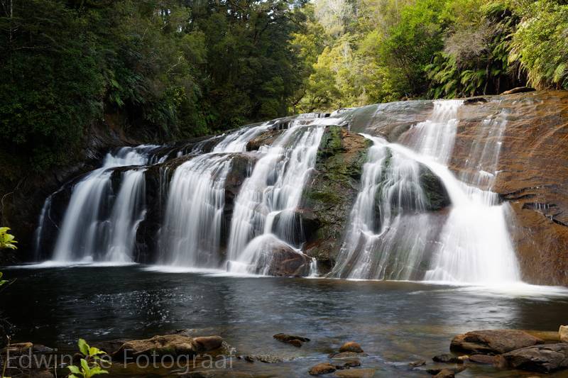
This is about as close as I can get to the falls, they’re better than I expected
The hike back, it’s less sunny now, must be that predicted cloud coming in
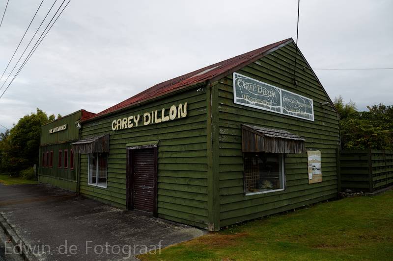
On my way back to Christchurch, I stop in the little village of Kumara for some photos
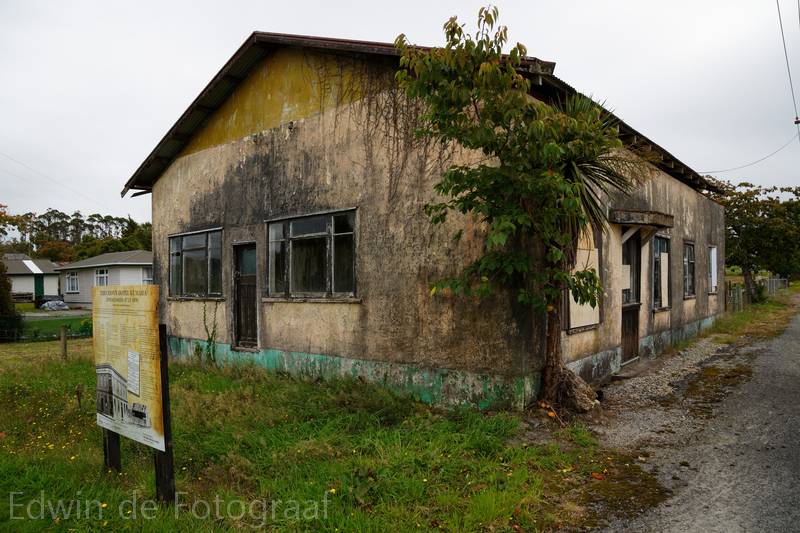
This would probably still sell for a fortune here in NZ
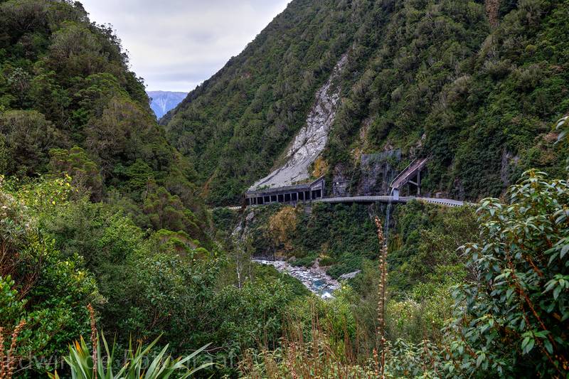
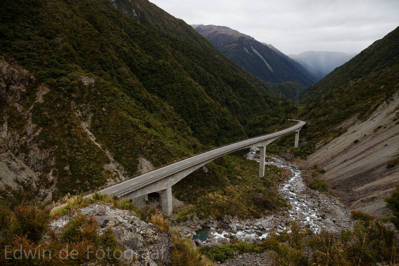
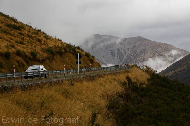
Rockfall shelter seen from Candy’s Bend
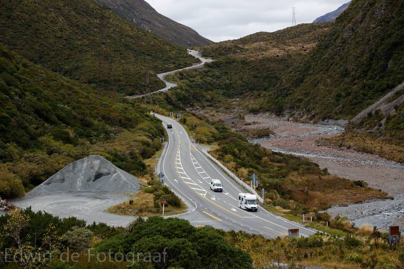
Looking the other direction (south) towards Arthur’s Pass
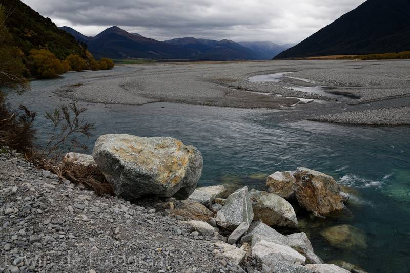
Near Paddy’s Bend, looking east over the Waimakariri River towards the Black Range and beyond where I often fly
Craigieburn Range, looking south
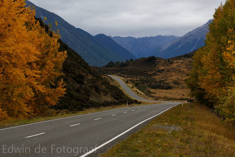
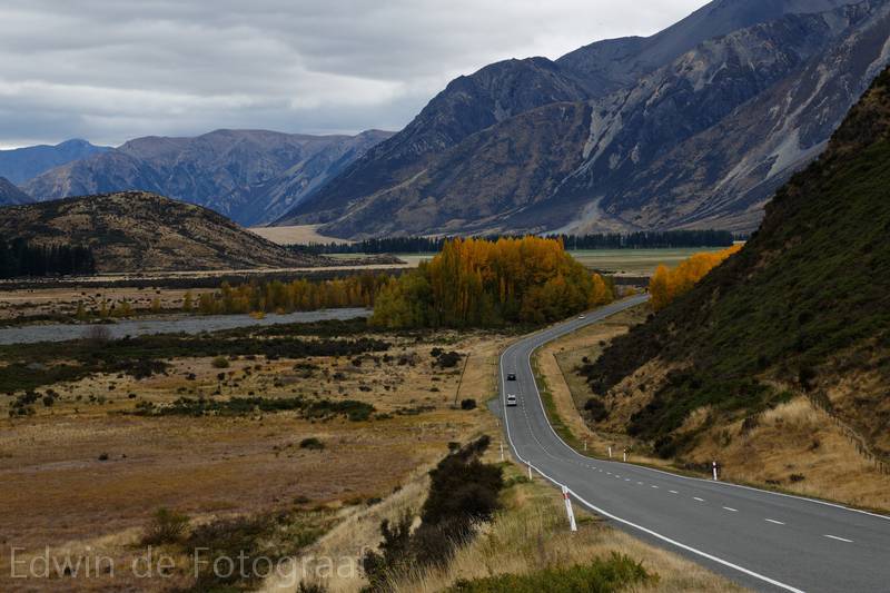
Looking back to where I came from, what a beautiful area this is! I normally only see this area from high above, I forgot how nice it is to actually drive here and look at those massive mountains from ground level
Near Porters Pass, lots of low cloud in here, thanks to the Easterly, Mt Torlesse in the distance, now only the rather boring drive back to Christchurch remains, it was a good little trip though, enjoyed it a lot!